Sailing the Cape Horn The southern part of


- Slides: 8
Sailing the Cape Horn
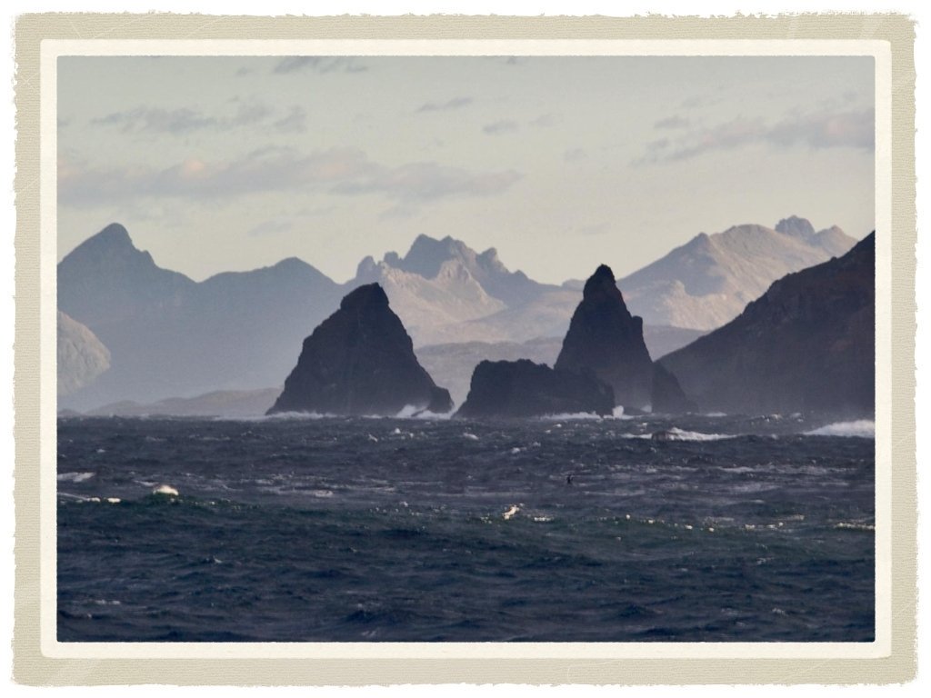
The southern part of South America, including Cape Horn island, the Drake Passage, and the South Shetland Islands.
Facts Cape Horn island is named after the city of Hoorn in the Netherlands For many years it was a major milestone on the clipper route, by which sailing ships carried trade around the world. The waters around the cape are particularly hazardous, owing to strong winds, large waves, strong currents and icebergs; these dangers have made it notorious as a sailors' graveyard.
Sailing routes There a number of potential sailing routes around the tip of South America. The Strait of Magellan, between the mainland Tierra del Fuego, is a major — although narrow — passage, which was in use for trade well before the Horn was discovered; the Beagle Channel, between Tierra del Fuego and Isla Navarino, offers a potential, though difficult route; and there are various passages around the Wollaston and Hermite Islands to the north of Cape Horn. All of these, however, are notorious for treacherous williwaw winds, which can strike a vessel with little or no warning; given the narrowness of these routes, there is a significant risk of then being driven onto the rocks. The open waters of the Drake Passage, south of Cape Horn, provide by far the widest route, at about 650 kilometres (400 mi) wide; this passage offers ample sea room for maneuvering as winds change, and is the route used by most ships and sailboats, despite the possibility of extreme wave conditions.
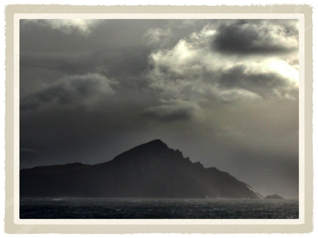
The Climate The climate in the region is generally cool, owing to the southern latitude. Winds were reported to average 30 kilometres per hour. Contemporary weather records for Ushuaia, 146 kilometres (91 mi) north, show that summer (January–February) average temperatures range from highs of 14 °C (57 °F) to lows of 5 °C (42 °F); in winter (July), average temperatures range from 4 °C (40 °F) to − 2 °C (29 °F). Cloud cover is generally high, with averages from 5. 2 eighths in May and July to 6. 4 eighths in December and January. Precipitation is high throughout the year: the weather station on the nearby Diego Ramirez Islands. Wind conditions are generally severe, particularly in winter. In summer, the wind at Cape Horn is gale force up to 5% of the time, with generally good visibility; however, in winter, gale force winds occur up to 30% of the time, often with poor visibility. Many stories are told of hazardous journeys "around the Horn, " most describing fierce storms. In sea chanteys and other songs, "Cape Horn" is frequently rhymed with "never been born. " 0
The end