National Infrared Operations USDA Forest Service Fire and
- Slides: 17
National Infrared Operations USDA Forest Service Fire and Aviation Management
Infrared Missions for Fire Operations FAM-Operations has identified four mission areas IR is used: 1. Detection 2. Large Fire Mapping 3. Tactical Incident Awareness and Assessment 4. Dashboard Each mission has different requirements/capabilities. No “silver bullet”
Detection Mission • Aircraft or satellite systems that can cover a large area • Detect new fire starts (lightning and human caused) • Early-warning to support rapid response and public safety • Platforms • Manned aircraft • Ignition Point in EGP • In addition to ground based detection systems
Detection Deliverables • Lat/Long coordinates of new starts • GIS-ready shapefiles • Metadata • • Size up information Staffed or not Proximity to values Map perimeter if >10 acres • Process to disseminate information
Large Fire Mapping Mission • NIROPS fulfills the Large Fire Mapping mission • Map 50 -70 fires per night • Nation-wide scope • Provide pdf map, KMZ/KML, GIS-ready shapefiles, IRIN log • NIROPS products and services are in high demand • Demand is increasing • 2 planes w/ AC 3 surge: based on workload from the last decade • Need ways to increase capacity • Increase role of vendor aircraft (manned and unmanned) • Sustain agency aircraft, sensors, and staffing
Efforts to Sustain NIROPS in 2019 End Product Contract, July 2019 - July 2020 (Dec 2020 w/ 6 mos. Ext) • Five vendors under BOA to provide surge capacity for NIROPS • Deliverable: NIROPS map products to FTP site • Manned aircraft w/ commercial step-stare EO/IR systems • Assigned to “cluster” of fires in a 500 mile area • Limited opportunity in 2019 to exercise all vendors Other IR Contracts: R 4 IR Mapping Contract (2016 -2021) • Used in GB for lower priority timber fires (night) or desert fires (day time) • Used as a “regional IR” platform (GACC ordered/assigned) • Deliverables: NIROPS-like map products to FTP site • Camera-ball system ~10, 000 acres per hour
Sustaining NIROPS (Aircraft) Short Term (2019 -2020): • 2019 evaluated vendor capability to provide NIROPS-like service and products • End Product and CWN contracts • Market research of current gen technology • Mix of aircraft capabilities and sensors • National vs Regional ‘model’ • EPC vs EU Longer Term (2020 -2025): • Maintain organic capability • Aircraft modernization • Aircraft replacement schedule • N 149 Z replacement • Sensor modernization • Re-engineer Phoenix –miniaturize and automate –or • Convert to commercial system • Future role of vendors
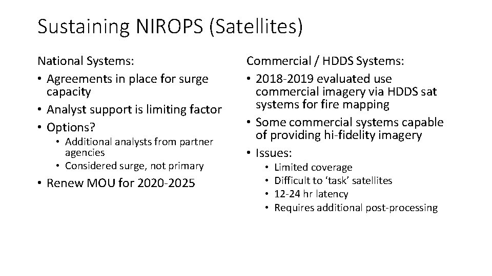
Sustaining NIROPS (Satellites) National Systems: • Agreements in place for surge capacity • Analyst support is limiting factor • Options? • Additional analysts from partner agencies • Considered surge, not primary • Renew MOU for 2020 -2025 Commercial / HDDS Systems: • 2018 -2019 evaluated use commercial imagery via HDDS sat systems for fire mapping • Some commercial systems capable of providing hi-fidelity imagery • Issues: • • Limited coverage Difficult to ‘task’ satellites 12 -24 hr latency Requires additional post-processing
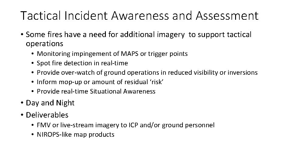
Tactical Incident Awareness and Assessment • Some fires have a need for additional imagery to support tactical operations • • • Monitoring impingement of MAPS or trigger points Spot fire detection in real-time Provide over-watch of ground operations in reduced visibility or inversions Inform mop-up or amount of residual ‘risk’ Provide real-time Situational Awareness • Day and Night • Deliverables • FMV or live-stream imagery to ICP and/or ground personnel • NIROPS-like map products
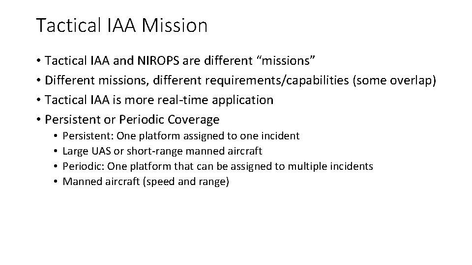
Tactical IAA Mission • Tactical IAA and NIROPS are different “missions” • Different missions, different requirements/capabilities (some overlap) • Tactical IAA is more real-time application • Persistent or Periodic Coverage • • Persistent: One platform assigned to one incident Large UAS or short-range manned aircraft Periodic: One platform that can be assigned to multiple incidents Manned aircraft (speed and range)
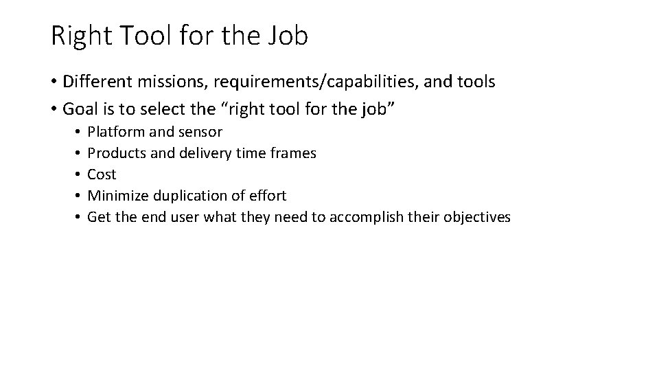
Right Tool for the Job • Different missions, requirements/capabilities, and tools • Goal is to select the “right tool for the job” • • • Platform and sensor Products and delivery time frames Cost Minimize duplication of effort Get the end user what they need to accomplish their objectives
Example 1 Active Large Fire: • Containment objective not met • Fire actively spreading and increasing in size • Primary control objectives are to contain/control the fire to protect Values at Risk (VAR) Products Needed: • PDF map of perimeter and areas of intense/scattered/isolated heat • GIS-ready shapefiles, KMZ/KML, IRIN Log • Once per night is acceptable Recommend: • NIROPS
Example 2 Very Active Large Fire, in close proximity to community(s): • Containment objective not met • Fire actively spreading and increasing in size • Additional daytime updates needed to monitor spread Products Needed: • PDF map of perimeter and areas of intense/scattered/isolated heat • GIS-ready shapefiles, KMZ/KML, IRIN Log • Persistent or Periodic coverage needed Recommend: • NIROPS for night time updates • Manned AC w/ EO/IR camera ball for periodic daytime updates / over watch • Large UAS for persistent coverage (may eliminate need for NIROPS)
Example 3 Large Fire, not active: • Containment objective close to being met • Forward movement of fire has been halted • Minimal spread or increase in size • Primary operation is mop-up Products Needed: • PDF map showing areas of residual heat • GIS-ready shapefiles, KMZ/KML, IRIN Log • Entire fire does not need to be mapped Recommend: • IAA platform equipped with EO/IR camera ball • Specify areas of interest for scanning (i. e. Div W, or hillside above XYZ subdivision)
Example 4 Large Fire, light fuels: • IR sensors can only map detectable heat • Fires in light fuels often have portions of ‘cold black’ that are hard to distinguish at night Products Needed: • PDF map of fire’s perimeter, showing areas of intense/scattered/isolated heat • GIS-ready shapefiles, KMZ/KML, IRIN Log Recommend: • IAA platform equipped with EO/IR system, pre-dusk flight • EO camera can distinguish ‘cold black’ and assist with more accurate perimeter map
Example 5 Small Fire (<1, 000 acres timber, <10, 000 acres light fuels): • Isolated fire or low activity in rest of GACC • During busy season, small fires may be low priority • NIROPS AC may be busy in other GACCs • However fire is still actively spreading and containment objectives are not met Products Needed: • PDF map of fire’s perimeter, showing areas of intense/scattered/isolated heat • GIS-ready shapefiles, KMZ/KML, IRIN Log Recommend: • IAA platform equipped with EO/IR camera-ball • More efficient if there are other fires within 200 -300 miles
Example 6 Detection Post Lightning Storm • Lightning data or forecast indicates widespread lightning event • Concern of locating fires or hold-overs Products Needed: • Day or night scan of affected area • GIS-ready shapefiles (points) of new fires • Basic size-up information (metadata) • Perimeter if >10 acres Recommend: • IAA platform equipped with EO/IR camera ball as day or night flight • Size of area may dictate type of aircraft • Identify single POC for dissemination