Maps Political and Physical Political Maps w Political


- Slides: 11

Maps Political and Physical

Political Maps w Political maps show humans have impacted the landscape. For example, city names, roads, country borders, etc. are all part of political maps. w A political map often uses colors to show the boundaries between states or countries.

Political Maps w Political maps change frequently (physical maps change very, very slowly through geologic processes) and must be redrawn often. A political map of the world that is 50 years old is no longer accurate. w Wars and ethnic conflict are two major causes political maps change.


Political Maps w Lets look at some examples of political maps.

Political Maps

Political Maps

Physical Maps w Physical maps show what the surface of the Earth looks like. w A physical map highlights Earth’s natural features, such as mountains and forests.

Physical Maps w Physical maps do not contain made features. w For example, a physical map would be a map of what you would see if you were looking down on Earth from space. Notice you do not see country borders or city markings. These divisions are created by people. For example, there is no actual line dividing Texas from its bordering states.

Physical Maps w Lets look at am examples of a physical map.

Physical Maps w There are different types of physical maps. • Relief Maps – Show the difference in height between land • Elevation Maps – Show the elevation, or height above sea level.
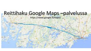
 Google map reittihaku
 Types of maps in maths lit
 Mathematical literacy grade 11 maps and scales
 Maps, plans and other representations of the physical world
 Maps, plans and other representations of the physical world
 Latin america political and physical map
 Physical rate fences example
 What is physical fitness test in mapeh
 Australia relative location
 Section 11-5 linkage and gene maps answer key
 11-5 linkage and gene maps
 Motivating forces for exploration
