Geography Its Nature and Perspectives Unit 1 AP

- Slides: 21
Geography: Its Nature and Perspectives Unit 1 AP Exam Review
1 • Taking photos of Earth from space is also called a) b) c) d) e) Aerial photography Satellite imagery GIS GPS Remote photography
2 • Newspaper delivery areas are an example of which type of region? a) b) c) d) e) Formal Functional Statistical Graphical Vernacular
3 • Who first coined the term “geography”? a) b) c) d) e) Plato Aristotle Eratosthenes Zheng He Socrates
4 • What geographical feature usually distinguishes time zones? a) b) c) d) e) 5 degrees of lat 5 degrees of long 15 degrees of lat 15 degrees of long 30 degrees of long
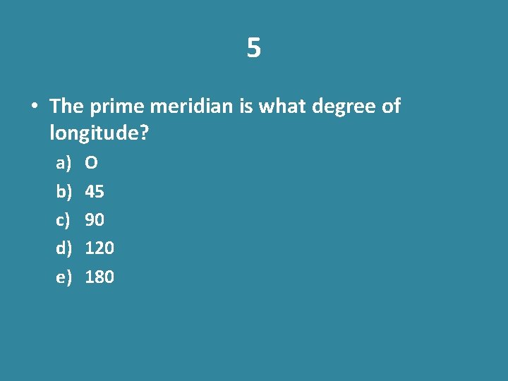
5 • The prime meridian is what degree of longitude? a) b) c) d) e) O 45 90 120 180
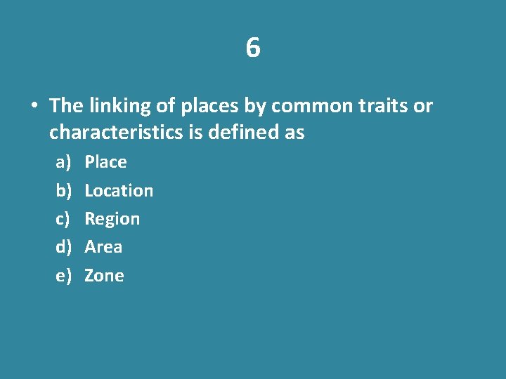
6 • The linking of places by common traits or characteristics is defined as a) b) c) d) e) Place Location Region Area Zone
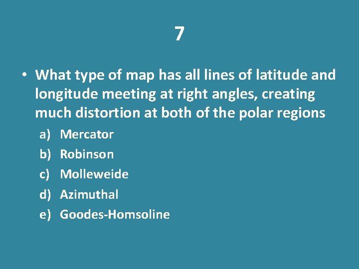
7 • What type of map has all lines of latitude and longitude meeting at right angles, creating much distortion at both of the polar regions a) b) c) d) e) Mercator Robinson Molleweide Azimuthal Goodes-Homsoline
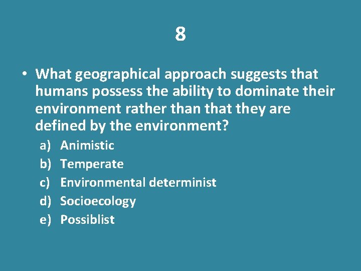
8 • What geographical approach suggests that humans possess the ability to dominate their environment rather than that they are defined by the environment? a) b) c) d) e) Animistic Temperate Environmental determinist Socioecology Possiblist
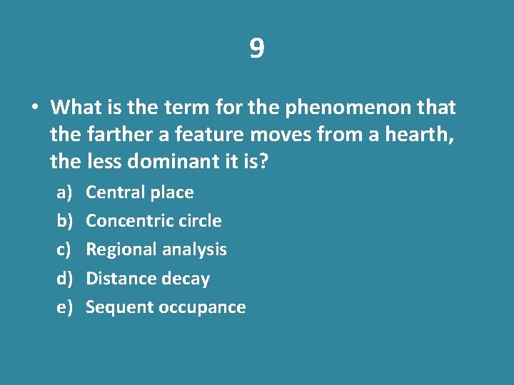
9 • What is the term for the phenomenon that the farther a feature moves from a hearth, the less dominant it is? a) b) c) d) e) Central place Concentric circle Regional analysis Distance decay Sequent occupance
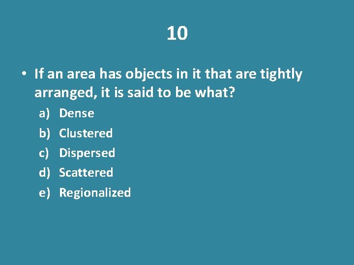
10 • If an area has objects in it that are tightly arranged, it is said to be what? a) b) c) d) e) Dense Clustered Dispersed Scattered Regionalized
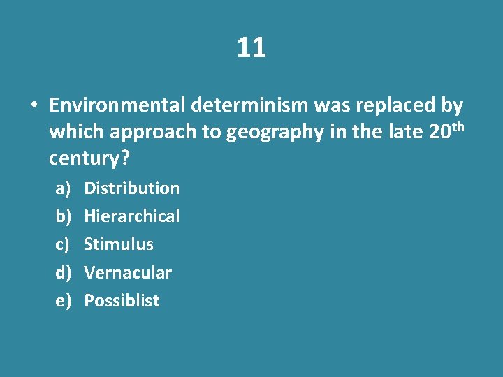
11 • Environmental determinism was replaced by which approach to geography in the late 20 th century? a) b) c) d) e) Distribution Hierarchical Stimulus Vernacular Possiblist
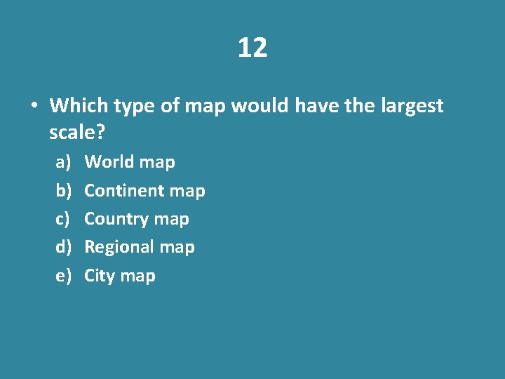
12 • Which type of map would have the largest scale? a) b) c) d) e) World map Continent map Country map Regional map City map
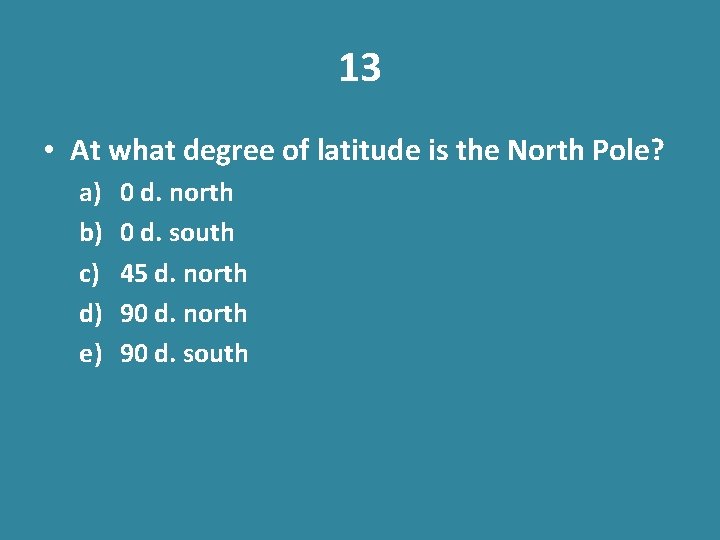
13 • At what degree of latitude is the North Pole? a) b) c) d) e) 0 d. north 0 d. south 45 d. north 90 d. south
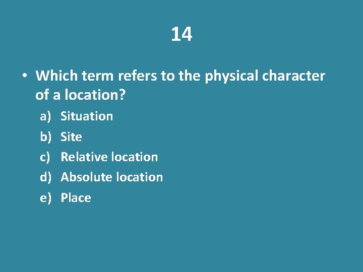
14 • Which term refers to the physical character of a location? a) b) c) d) e) Situation Site Relative location Absolute location Place
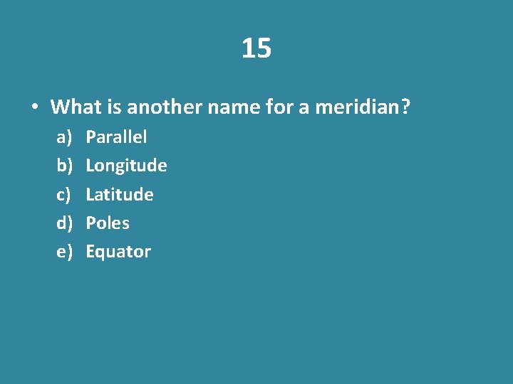
15 • What is another name for a meridian? a) b) c) d) e) Parallel Longitude Latitude Poles Equator
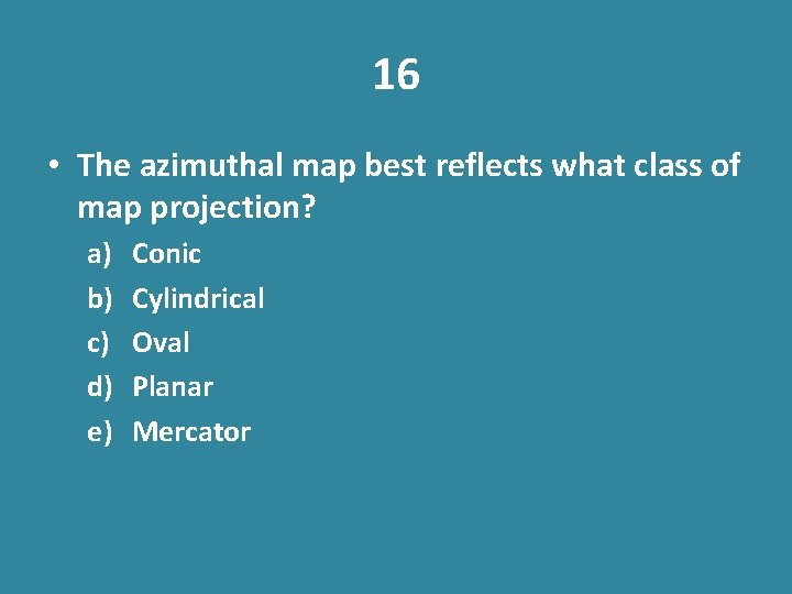
16 • The azimuthal map best reflects what class of map projection? a) b) c) d) e) Conic Cylindrical Oval Planar Mercator
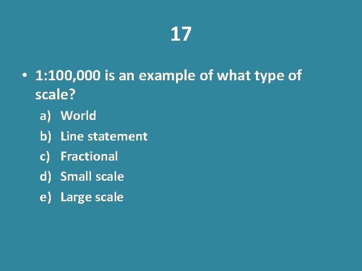
17 • 1: 100, 000 is an example of what type of scale? a) b) c) d) e) World Line statement Fractional Small scale Large scale
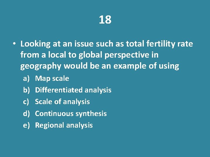
18 • Looking at an issue such as total fertility rate from a local to global perspective in geography would be an example of using a) b) c) d) e) Map scale Differentiated analysis Scale of analysis Continuous synthesis Regional analysis
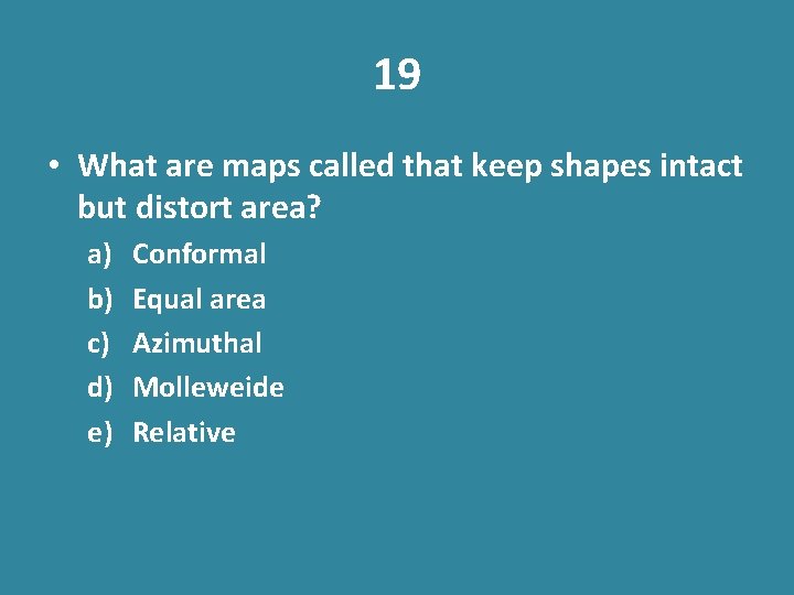
19 • What are maps called that keep shapes intact but distort area? a) b) c) d) e) Conformal Equal area Azimuthal Molleweide Relative
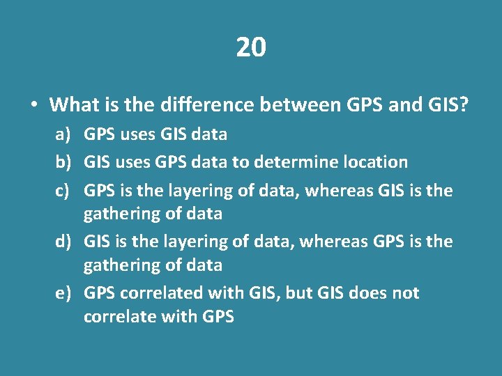
20 • What is the difference between GPS and GIS? a) GPS uses GIS data b) GIS uses GPS data to determine location c) GPS is the layering of data, whereas GIS is the gathering of data d) GIS is the layering of data, whereas GPS is the gathering of data e) GPS correlated with GIS, but GIS does not correlate with GPS