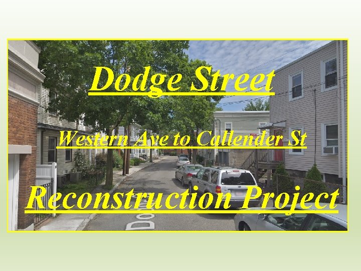
Dodge Street Western Ave to Callender St Reconstruction
- Slides: 25
Dodge Street Western Ave to Callender St Reconstruction Project
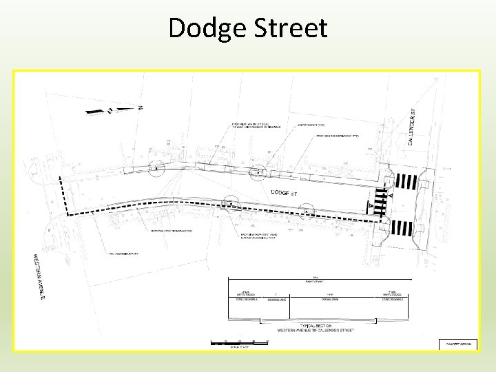
Dodge Street
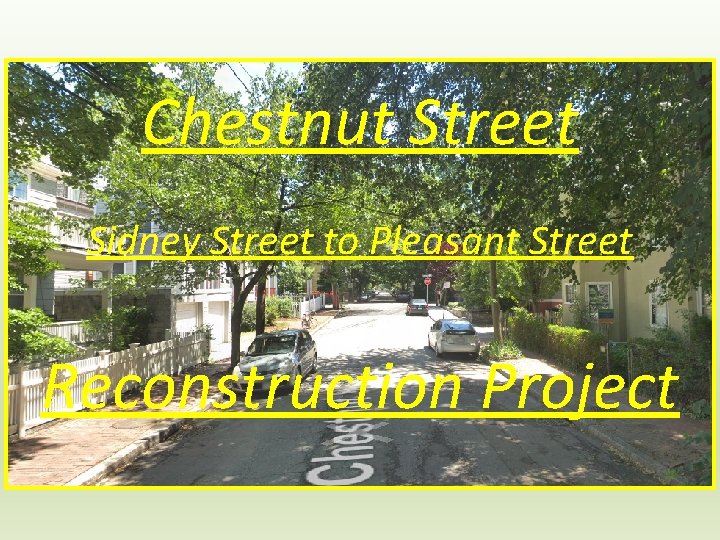
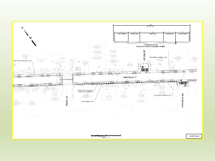
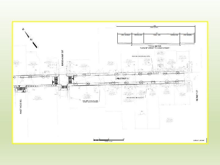
Chestnut Street Sidney Street to Pleasant Street Reconstruction Project
Construction Project Scope • • Reconstruct/repave street Reconstruct sidewalks and curb ramps New crosswalks, pavement markings Evaluation and updating utilities Project Objectives • • Meet access codes Improve safety for all users Enhance appearance of the neighborhood Enhance green areas/new trees
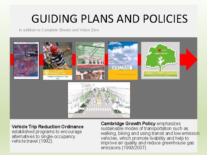
GUIDING PLANS AND POLICIES In addition to Complete Streets and Vision Zero Vehicle Trip Reduction Ordinance established programs to encourage alternatives to single-occupancy vehicle travel (1992). Cambridge Growth Policy emphasizes sustainable modes of transportation such as walking, biking and using transit and low-emission vehicles, which promote livability and help to improve air quality and reduce greenhouse gas emissions (1993/2007).
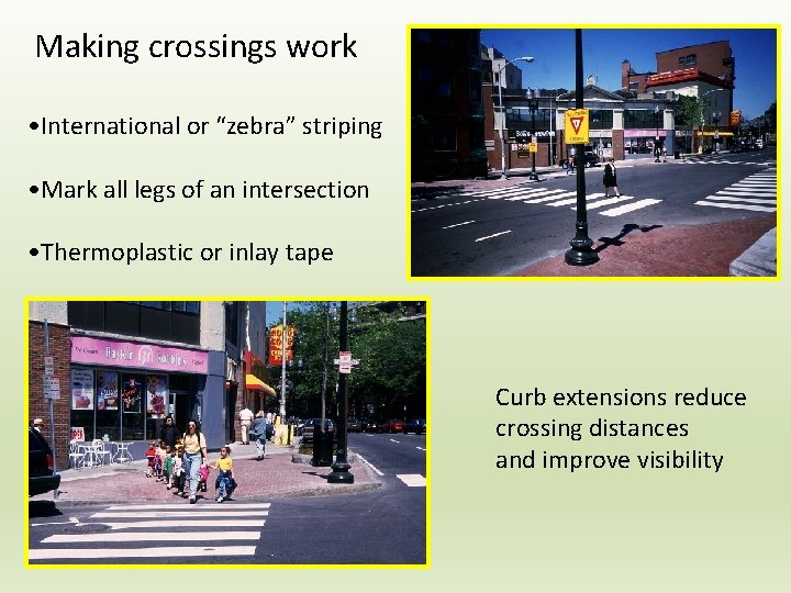
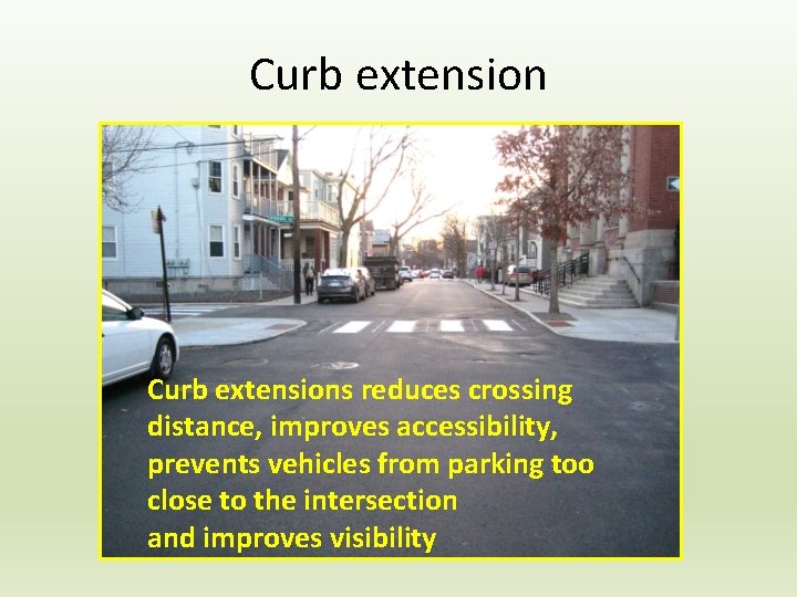
Making crossings work • International or “zebra” striping • Mark all legs of an intersection • Thermoplastic or inlay tape Curb extensions reduce crossing distances and improve visibility
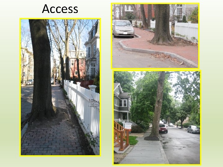
Access
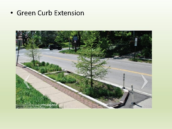
• Green Curb Extension
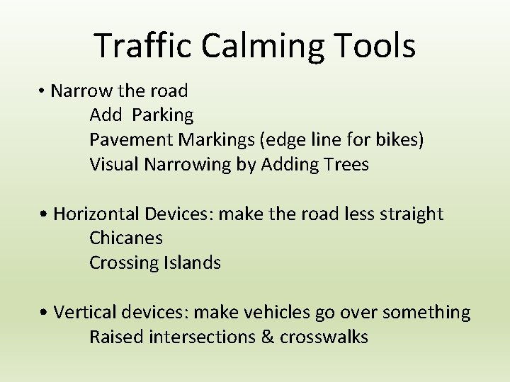
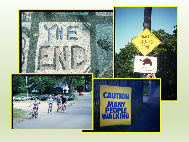
Traffic Calming Tools • Narrow the road Add Parking Pavement Markings (edge line for bikes) Visual Narrowing by Adding Trees • Horizontal Devices: make the road less straight Chicanes Crossing Islands • Vertical devices: make vehicles go over something Raised intersections & crosswalks
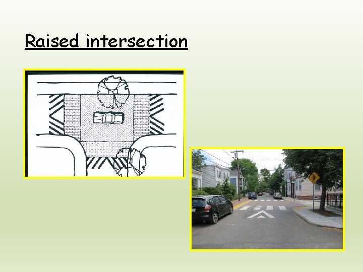
Raised intersection
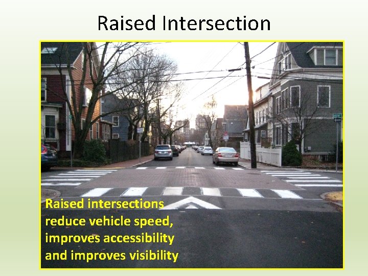
Raised Intersection Raised intersections reduce vehicle speed, improves accessibility and improves visibility
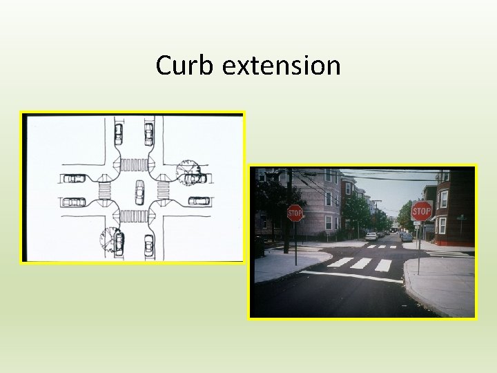
Curb extension
Curb extensions reduces crossing distance, improves accessibility, prevents vehicles from parking too close to the intersection and improves visibility
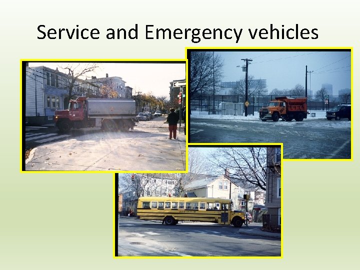
Service and Emergency vehicles
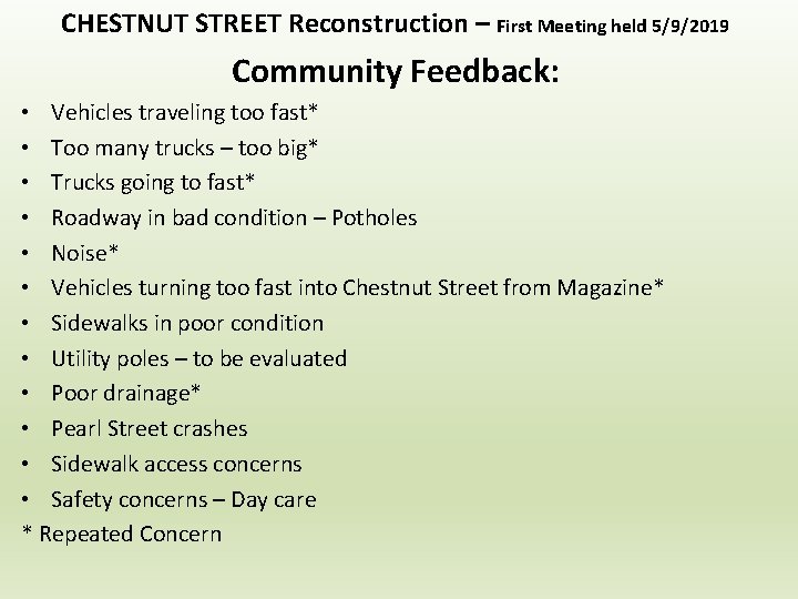
CHESTNUT STREET Reconstruction – First Meeting held 5/9/2019 Community Feedback: • Vehicles traveling too fast* • Too many trucks – too big* • Trucks going to fast* • Roadway in bad condition – Potholes • Noise* • Vehicles turning too fast into Chestnut Street from Magazine* • Sidewalks in poor condition • Utility poles – to be evaluated • Poor drainage* • Pearl Street crashes • Sidewalk access concerns • Safety concerns – Day care * Repeated Concern
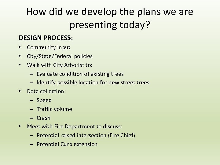
How did we develop the plans we are presenting today? DESIGN PROCESS: • Community Input • City/State/Federal policies • Walk with City Arborist to: – Evaluate condition of existing trees – Identify possible location for new street trees • Data collection: – Speed – Traffic volume – Crash • Meet with Fire Department to discuss: – Potential raised intersection (Fire Chief) – Potential Curb extension
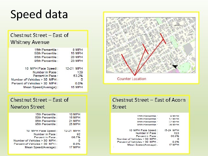
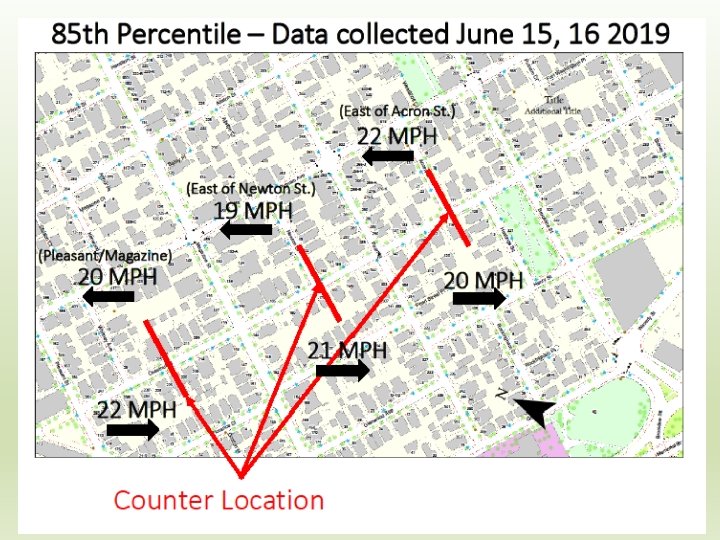
Speed data Chestnut Street – East of Whitney Avenue Chestnut Street – East of Newton Street Chestnut Street – East of Acorn Street
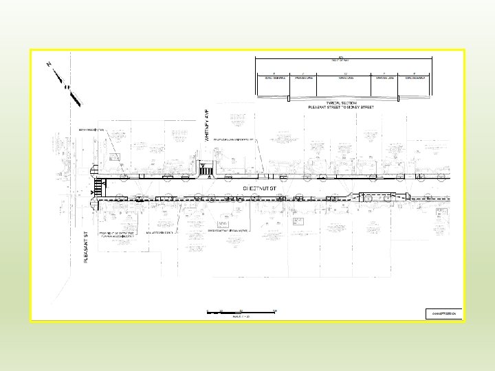
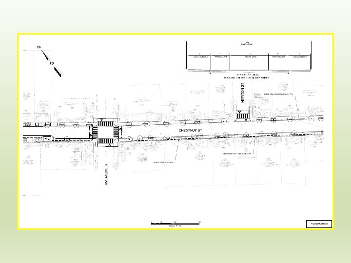
Plans
Questions and Comments
Next steps: