8 th MSDI Working Group National Report MALAYSIA
- Slides: 19
8 th MSDI Working Group National Report (MALAYSIA) 31 Jan 2017 Vancouver, Canada
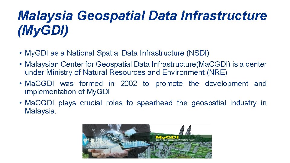
Malaysia Geospatial Data Infrastructure (My. GDI) • My. GDI as a National Spatial Data Infrastructure (NSDI) • Malaysian Center for Geospatial Data Infrastructure(Ma. CGDI) is a center under Ministry of Natural Resources and Environment (NRE) • Ma. CGDI was formed in 2002 to promote the development and implementation of My. GDI • Ma. CGDI plays crucial roles to spearhead the geospatial industry in Malaysia.
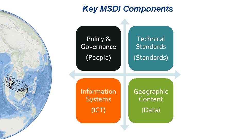
Key MSDI Components Policy & Governance Technical Standards (People) (Standards) Information Systems Geographic Content (ICT) (Data)
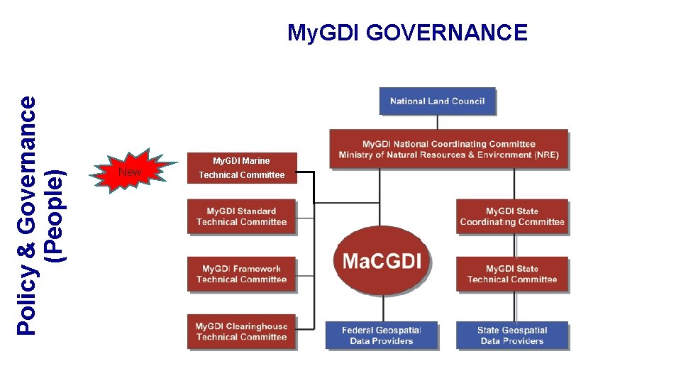
Policy & Governance (People) My. GDI GOVERNANCE My. GDI Marine New Technical Committee
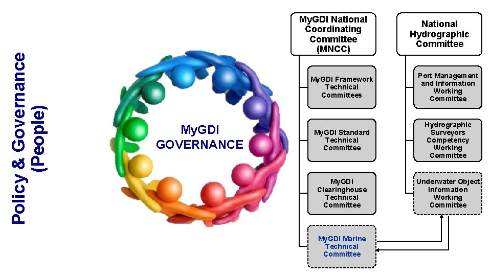
Policy & Governance (People) My. GDI National Coordinating Committee (MNCC) My. GDI GOVERNANCE National Hydrographic Committee My. GDI Framework Technical Committees Port Management and Information Working Committee My. GDI Standard Technical Committee Hydrographic Surveyors Competency Working Committee My. GDI Clearinghouse Technical Committee Underwater Object Information Working Committee My. GDI Marine Technical Committee
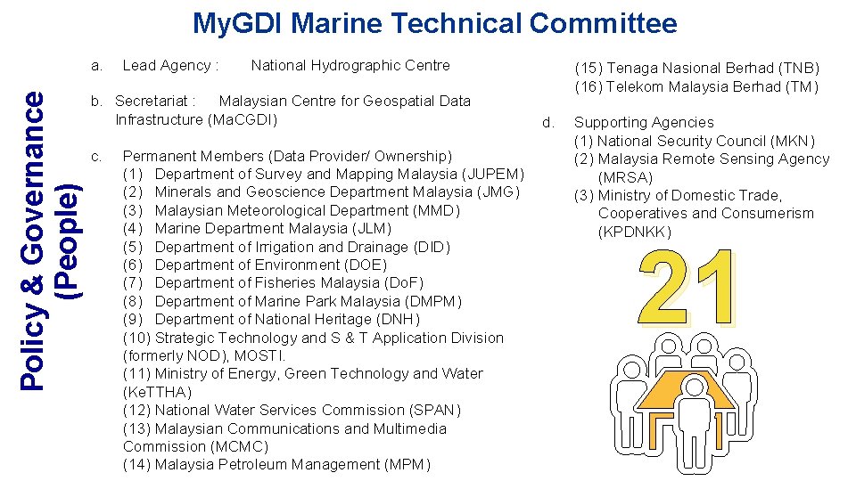
My. GDI Marine Technical Committee Policy & Governance (People) a. Lead Agency : National Hydrographic Centre b. Secretariat : Malaysian Centre for Geospatial Data Infrastructure (Ma. CGDI) c. Permanent Members (Data Provider/ Ownership) (1) Department of Survey and Mapping Malaysia (JUPEM) (2) Minerals and Geoscience Department Malaysia (JMG) (3) Malaysian Meteorological Department (MMD) (4) Marine Department Malaysia (JLM) (5) Department of Irrigation and Drainage (DID) (6) Department of Environment (DOE) (7) Department of Fisheries Malaysia (Do. F) (8) Department of Marine Park Malaysia (DMPM) (9) Department of National Heritage (DNH) (10) Strategic Technology and S & T Application Division (formerly NOD), MOSTI. (11) Ministry of Energy, Green Technology and Water (Ke. TTHA) (12) National Water Services Commission (SPAN) (13) Malaysian Communications and Multimedia Commission (MCMC) (14) Malaysia Petroleum Management (MPM) (15) Tenaga Nasional Berhad (TNB) (16) Telekom Malaysia Berhad (TM) d. Supporting Agencies (1) National Security Council (MKN) (2) Malaysia Remote Sensing Agency (MRSA) (3) Ministry of Domestic Trade, Cooperatives and Consumerism (KPDNKK) 21
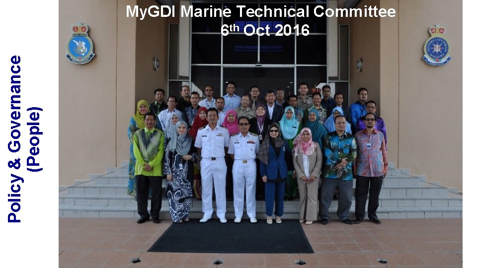
Policy & Governance (People) My. GDI Marine Technical Committee 6 th Oct 2016
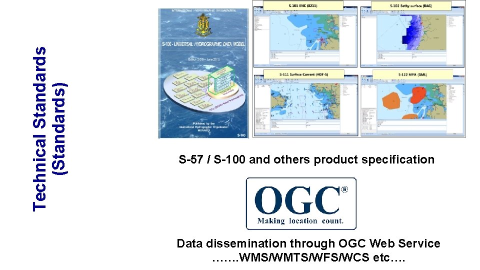
Technical Standards (Standards) S-57 / S-100 and others product specification Data dissemination through OGC Web Service ……. WMS/WMTS/WFS/WCS etc….
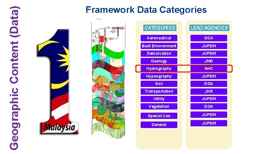
Geographic Content (Data) Framework Data Categories CATEGORIES LEAD AGENCIES Aeronautical DCA Built Environment JUPEM Demarcation JUPEM Geology JMG Hydrography NHC Hypsography JUPEM Soil DOA Transportation JKR Utility JUPEM Vegetation DOA Special Use JUPEM General JUPEM
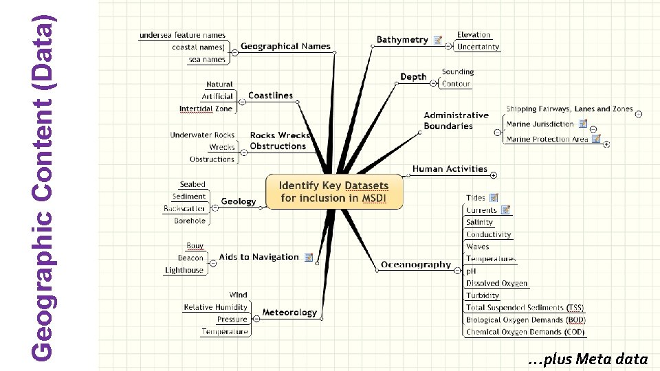
Geographic Content (Data) …plus Meta data
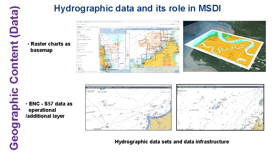
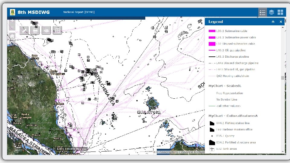
Geographic Content (Data) Hydrographic data and its role in MSDI • Raster charts as basemap • ENC - S 57 data as operational /additional layer Hydrographic data sets and data infrastructure
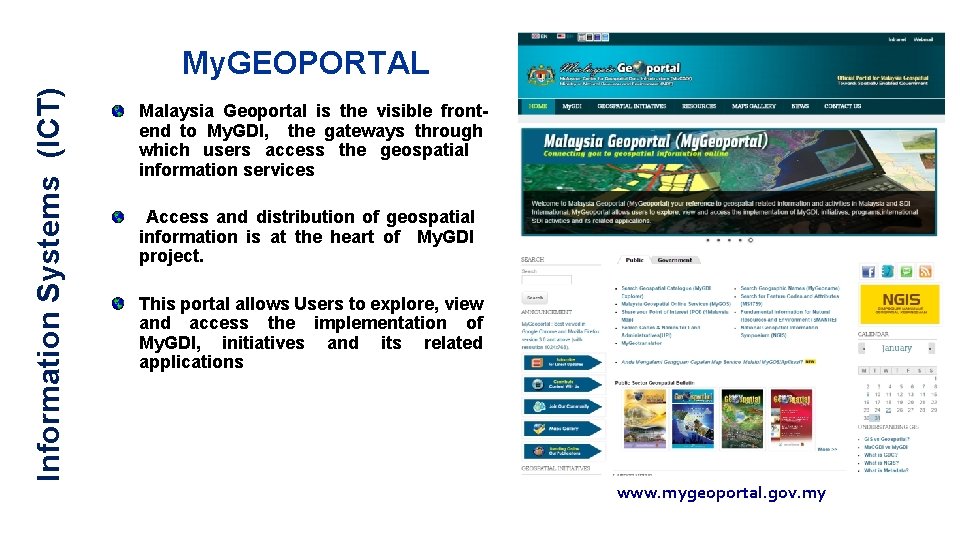
Information Systems (ICT) My. GEOPORTAL Malaysia Geoportal is the visible frontend to My. GDI, the gateways through which users access the geospatial information services Access and distribution of geospatial information is at the heart of My. GDI project. This portal allows Users to explore, view and access the implementation of My. GDI, initiatives and its related applications www. mygeoportal. gov. my
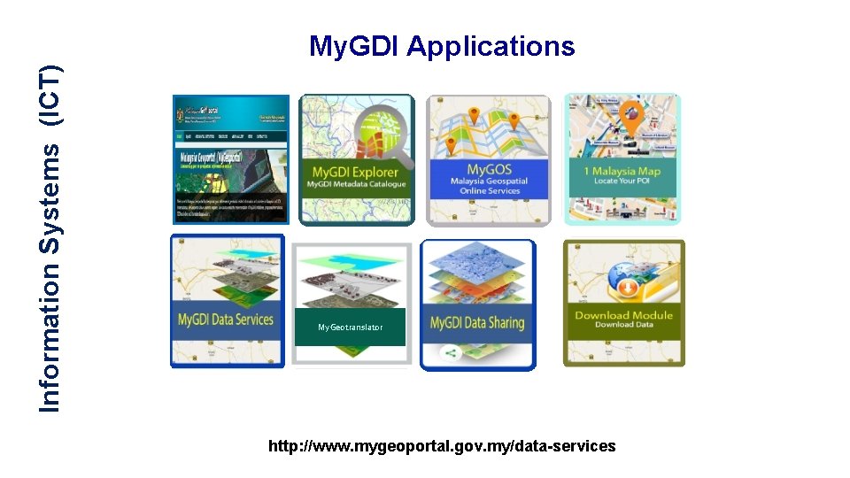
Information Systems (ICT) My. GDI Applications My. Geotranslator http: //www. mygeoportal. gov. my/data-services
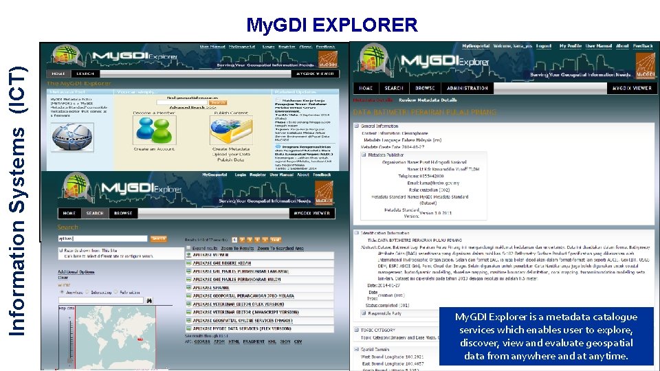
Information Systems (ICT) My. GDI EXPLORER My. GDI Explorer is a metadata catalogue services which enables user to explore, discover, view and evaluate geospatial data from anywhere and at anytime.
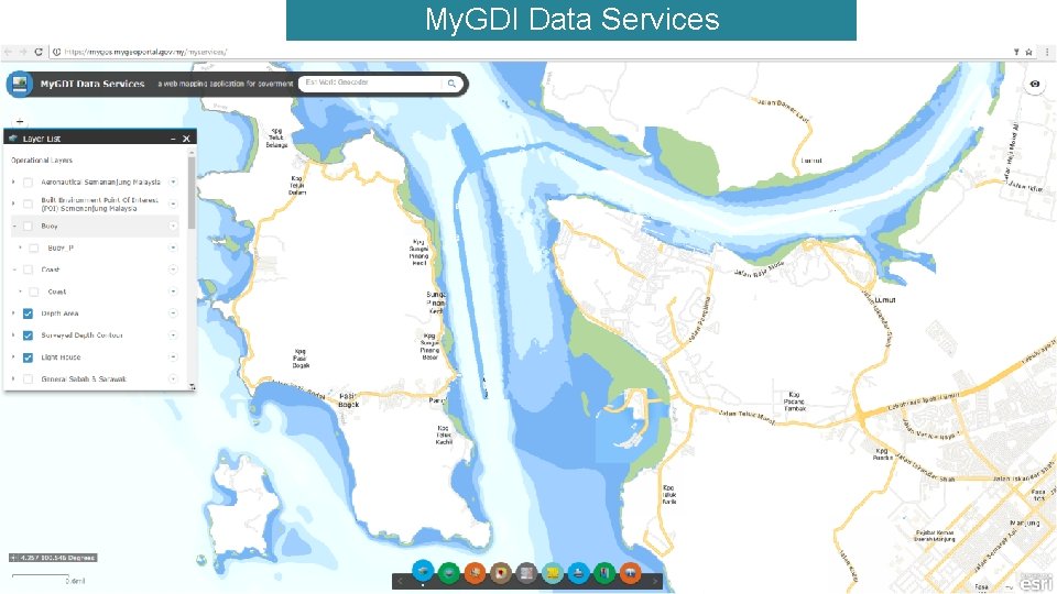
My. GDI Data Services ◎My. GDI Data Services menyediakan mekanisme perkongsian maklumat di antara agensi-agensi kerajaan bagi data-data utama (fundamental datasets) geospatial terutamanya data daripada projek National Geospatial Data Center (NGDC). Platform ini juga boleh digunakan untuk agensi Kerajaan yang lain berkongsi data mereka.
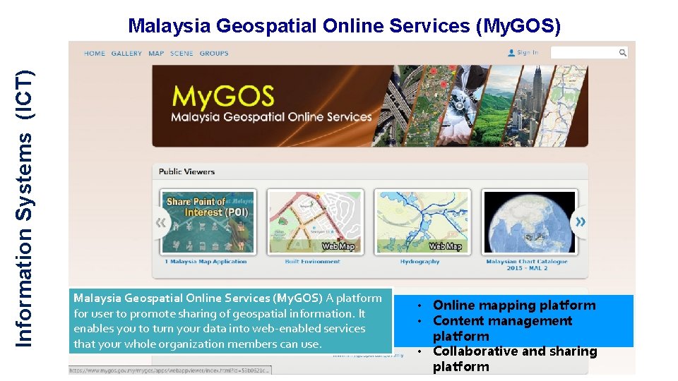
Information Systems (ICT) Malaysia Geospatial Online Services (My. GOS) A platform for user to promote sharing of geospatial information. It enables you to turn your data into web-enabled services that your whole organization members can use. • Online mapping platform • Content management platform • Collaborative and sharing platform
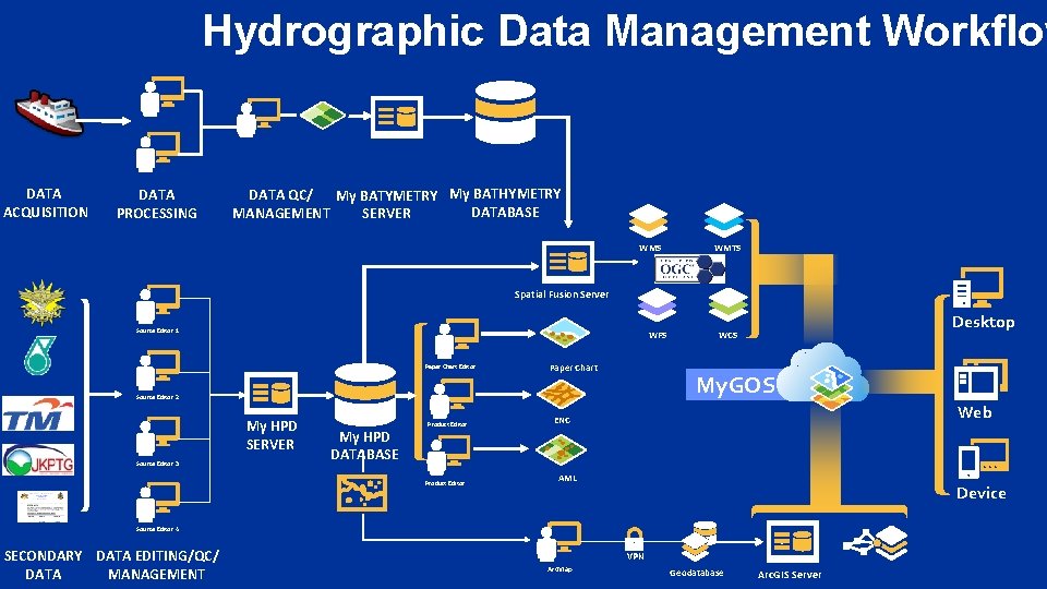
Hydrographic Data Management Workflow DATA ACQUISITION DATA PROCESSING DATA QC/ My BATYMETRY My BATHYMETRY DATABASE MANAGEMENT SERVER WMS WMTS Spatial Fusion Server Source Editor 1 WFS Paper Chart Editor Paper Chart My. GOS Source Editor 2 My HPD SERVER Source Editor 3 My HPD DATABASE Product Editor Desktop WCS Web ENC AML Device Source Editor 4 SECONDARY DATA EDITING/QC/ DATA MANAGEMENT VPN Arc. Map Geodatabase Arc. GIS Server
Thank you for your attention