Some thoughts from the North Pete Wilson Rarey
- Slides: 27
Some thoughts from the North … Pete Wilson Rarey Archaeology (Key spoken points in blue)
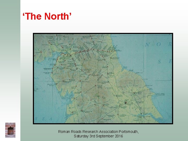
‘The North’ Roman Roads Research Association Portsmouth, Saturday 3 rd September 2016
What we think we know … (and don’t!) Roman Roads Research Association Portsmouth, Saturday 3 rd September 2016
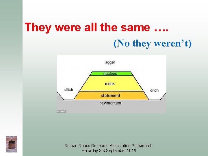
They were all the same …. (No they weren’t) Roman Roads Research Association Portsmouth, Saturday 3 rd September 2016
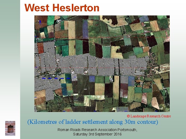
West Heslerton © Landscape Research Centre (Kilometres of ladder settlement along 30 m contour) Roman Roads Research Association Portsmouth, Saturday 3 rd September 2016
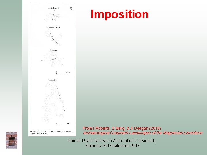
Imposition From I Roberts, D Berg, & A Deegan (2010) Archaeological Cropmark Landscapes of the Magnesian Limestone Roman Roads Research Association Portsmouth, Saturday 3 rd September 2016
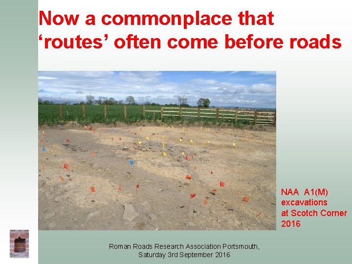
Now a commonplace that ‘routes’ often come before roads NAA A 1(M) excavations at Scotch Corner 2016 Roman Roads Research Association Portsmouth, Saturday 3 rd September 2016
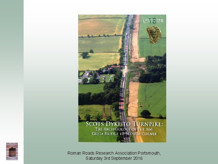
Roman Roads Research Association Portsmouth, Saturday 3 rd September 2016
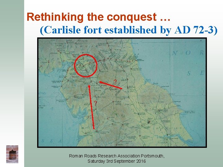
Rethinking the conquest … (Carlisle fort established by AD 72 -3) ? ? Roman Roads Research Association Portsmouth, Saturday 3 rd September 2016
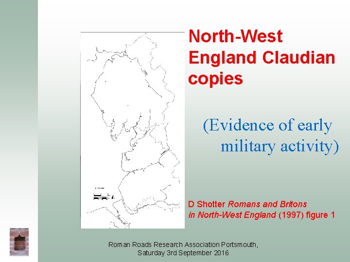
North-West England Claudian copies (Evidence of early military activity) D Shotter Romans and Britons in North-West England (1997) figure 1 Roman Roads Research Association Portsmouth, Saturday 3 rd September 2016
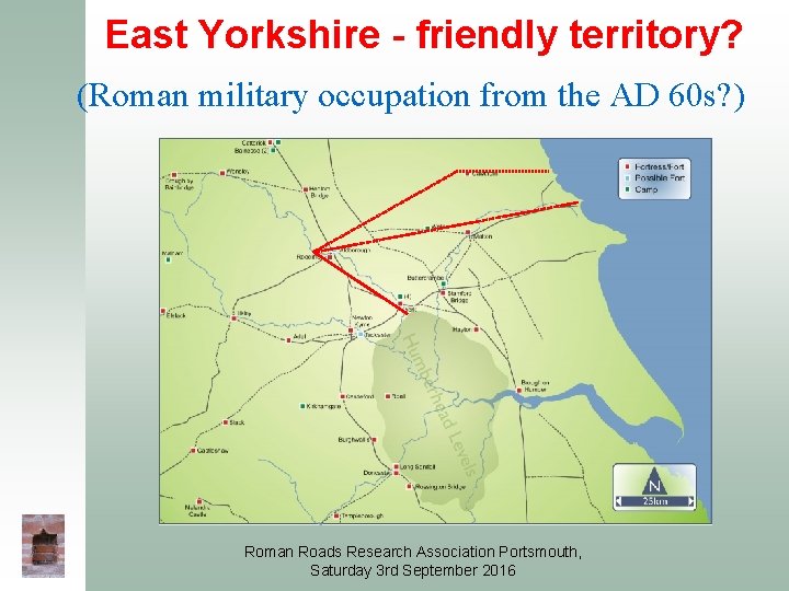
East Yorkshire - friendly territory? (Roman military occupation from the AD 60 s? ) Roman Roads Research Association Portsmouth, Saturday 3 rd September 2016
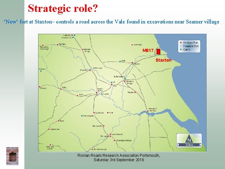
Strategic role? ‘New’ fort at Staxton– controls a road across the Vale found in excavations near Seamer village M 817 Staxton Roman Roads Research Association Portsmouth, Saturday 3 rd September 2016
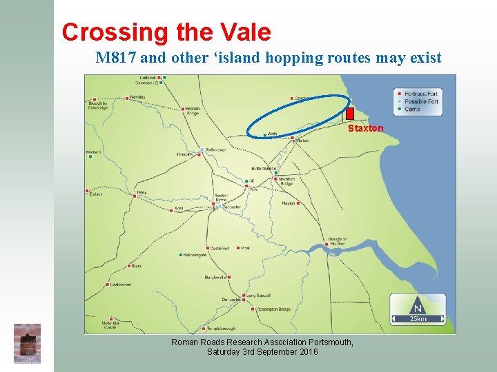
Crossing the Vale M 817 and other ‘island hopping routes may exist Staxton Roman Roads Research Association Portsmouth, Saturday 3 rd September 2016
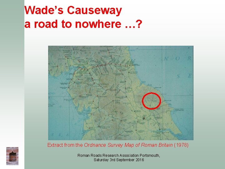
Wade’s Causeway a road to nowhere …? Extract from the Ordnance Survey Map of Roman Britain (1978) Roman Roads Research Association Portsmouth, Saturday 3 rd September 2016
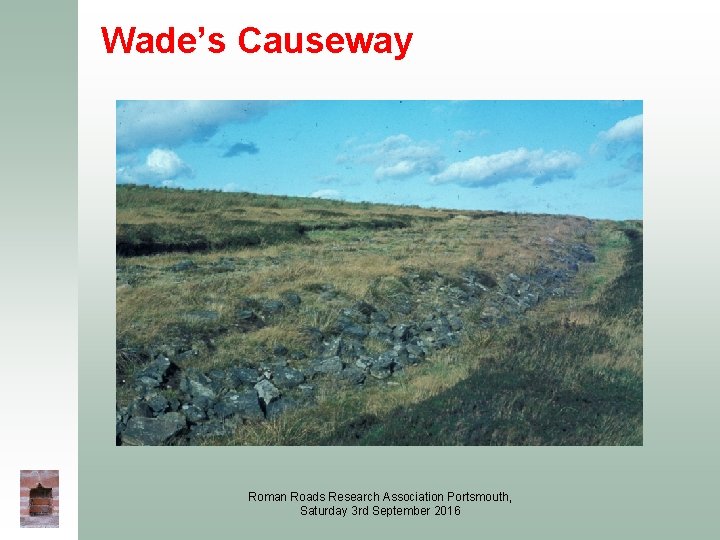
Wade’s Causeway Roman Roads Research Association Portsmouth, Saturday 3 rd September 2016
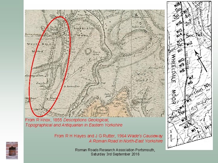
From R Knox, 1855 Descriptions Geological, Topographical and Antiquarian in Eastern Yorkshire From R H Hayes and J G Rutter, 1964 Wade’s Causeway A Roman Road in North-East Yorkshire Roman Roads Research Association Portsmouth, Saturday 3 rd September 2016
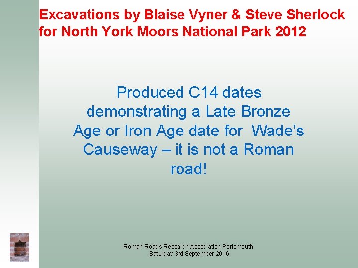
Excavations by Blaise Vyner & Steve Sherlock for North York Moors National Park 2012 Produced C 14 dates demonstrating a Late Bronze Age or Iron Age date for Wade’s Causeway – it is not a Roman road! Roman Roads Research Association Portsmouth, Saturday 3 rd September 2016
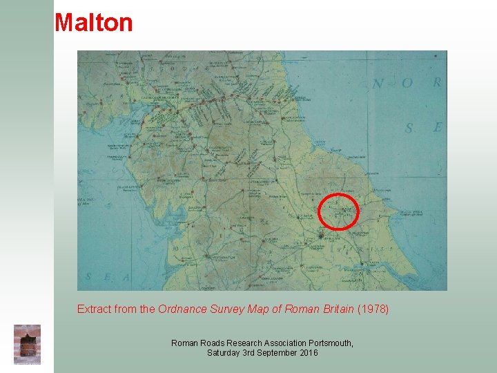
Malton Extract from the Ordnance Survey Map of Roman Britain (1978) Roman Roads Research Association Portsmouth, Saturday 3 rd September 2016
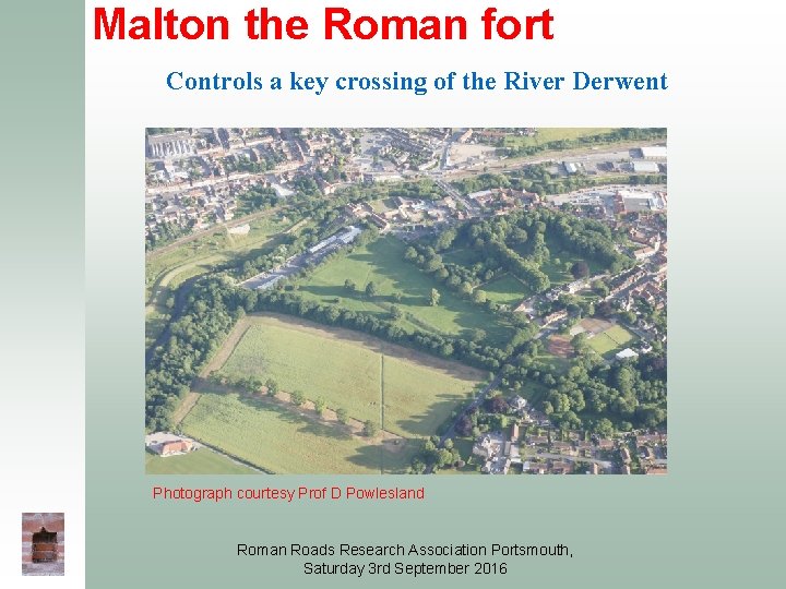
Malton the Roman fort Controls a key crossing of the River Derwent Photograph courtesy Prof D Powlesland Roman Roads Research Association Portsmouth, Saturday 3 rd September 2016
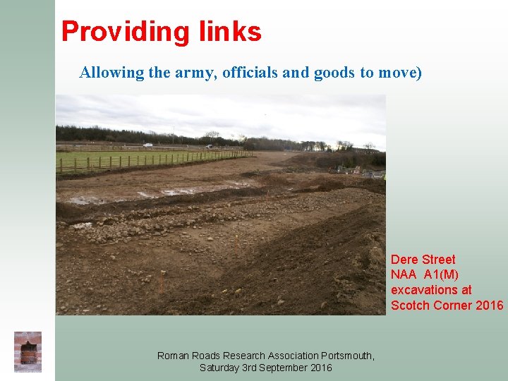
Providing links Allowing the army, officials and goods to move) Dere Street NAA A 1(M) excavations at Scotch Corner 2016 Roman Roads Research Association Portsmouth, Saturday 3 rd September 2016
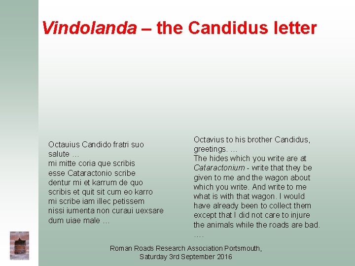
Vindolanda – the Candidus letter Octauius Candido fratri suo salute … mi mitte coria que scribis esse Cataractonio scribe dentur mi et karrum de quo scribis et quit sit cum eo karro mi scribe iam illec petissem nissi iumenta non curaui uexsare dum uiae male … Octavius to his brother Candidus, greetings. … The hides which you write are at Cataractonium - write that they be given to me and the wagon about which you write. And write to me what is with that wagon. I would have already been to collect them except that I did not care to injure the animals while the roads are bad. …. Roman Roads Research Association Portsmouth, Saturday 3 rd September 2016
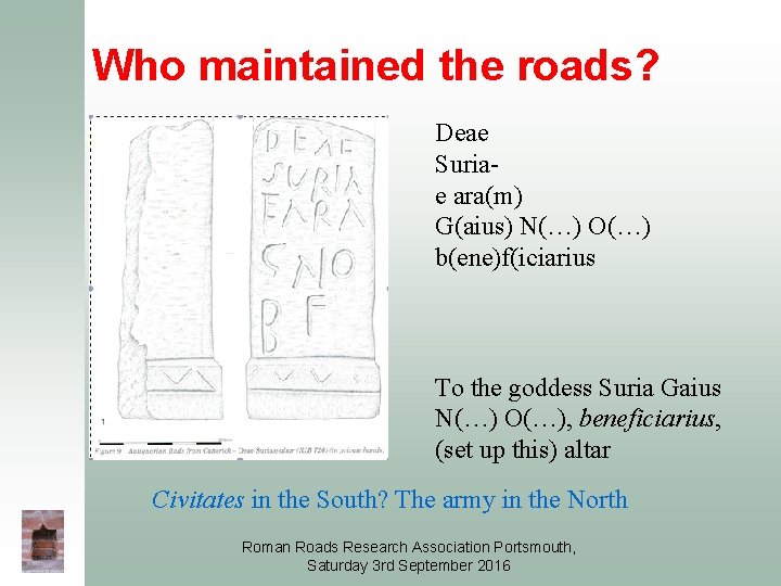
Who maintained the roads? Deae Suriae ara(m) G(aius) N(…) O(…) b(ene)f(iciarius To the goddess Suria Gaius N(…) O(…), beneficiarius, (set up this) altar Civitates in the South? The army in the North Roman Roads Research Association Portsmouth, Saturday 3 rd September 2016
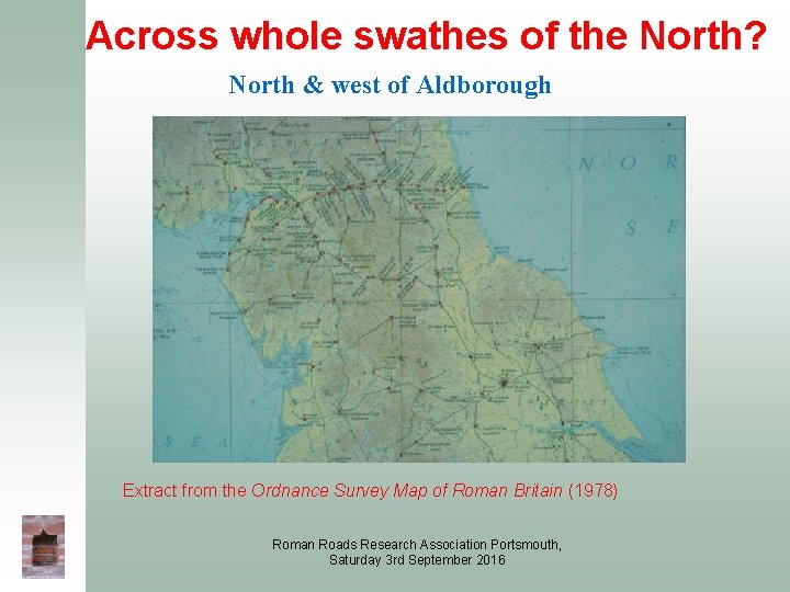
Across whole swathes of the North? North & west of Aldborough Extract from the Ordnance Survey Map of Roman Britain (1978) Roman Roads Research Association Portsmouth, Saturday 3 rd September 2016
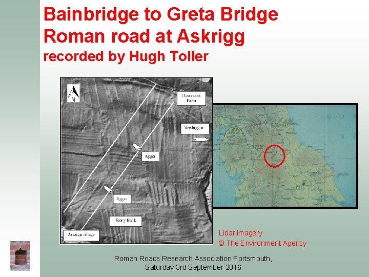
Bainbridge to Greta Bridge Roman road at Askrigg recorded by Hugh Toller Lidar imagery © The Environment Agency Roman Roads Research Association Portsmouth, Saturday 3 rd September 2016
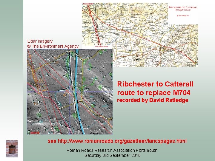
Lidar imagery © The Environment Agency Ribchester to Catterall route to replace M 704 recorded by David Ratledge see http: //www. romanroads. org/gazetteer/lancspages. html Roman Roads Research Association Portsmouth, Saturday 3 rd September 2016
With thanks to: Dr Andrew Birley, Vindolanda Trust English Heritage/Historic England Highways England/Carillion–Morgan Sindall JV MAP Archaeological Practice Northern Archaeological Associates Prof Dominic Powlesland David Ratledge Hugh Toller Blaise Vyner & Dr Steve Sherlock Roman Roads Research Association Portsmouth, Saturday 3 rd September 2016
and ‘Thank you’ Roman Roads Research Association Portsmouth, Saturday 3 rd September 2016