
YakimaTieton Irrigation District Agency Kickoff Meeting Tieton Canal

- Slides: 43
Yakima-Tieton Irrigation District Agency Kickoff Meeting Tieton Canal Replacement Project June 16, 2015
Welcome and Introductions
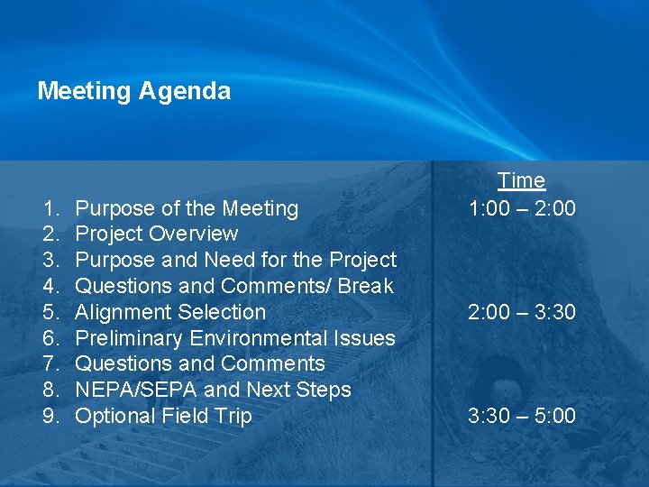
Meeting Agenda 1. 2. 3. 4. 5. 6. 7. 8. 9. Purpose of the Meeting Project Overview Purpose and Need for the Project Questions and Comments/ Break Alignment Selection Preliminary Environmental Issues Questions and Comments NEPA/SEPA and Next Steps Optional Field Trip Time 1: 00 – 2: 00 – 3: 30 – 5: 00
Purpose of this Meeting 1. 2. 3. 4. Introduce the Proposed Project and Project Schedule Review Preliminary Environmental Issues Provide Opportunity for Early Agency/Stakeholder Input Discuss NEPA/SEPA Lead Agencies and Next Steps
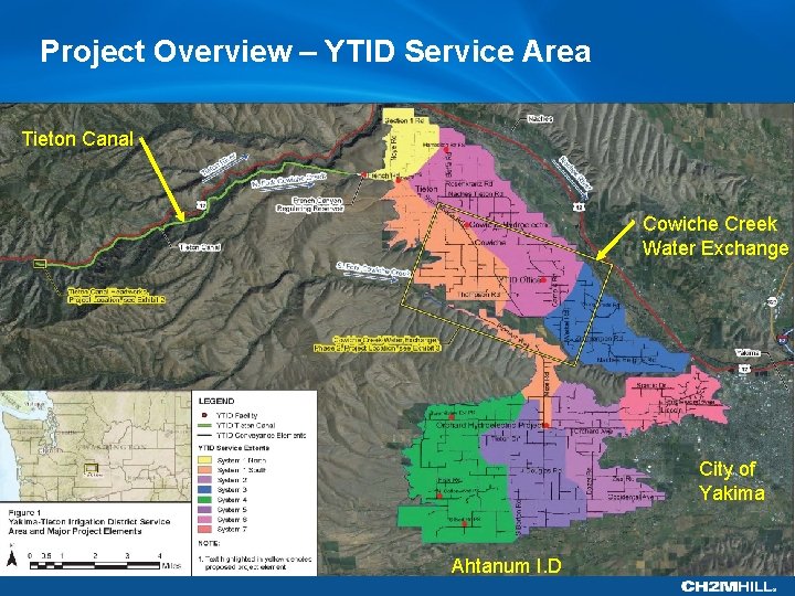
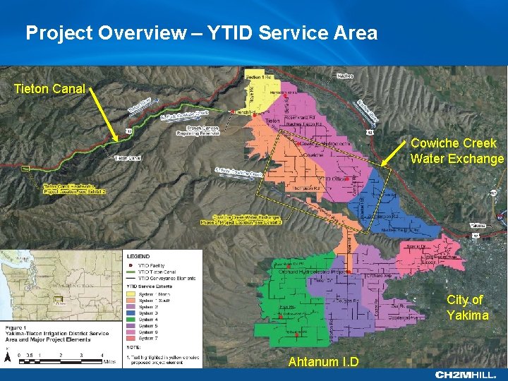
Project Overview – YTID Service Area Tieton Canal Cowiche Creek Water Exchange City of Yakima Ahtanum I. D
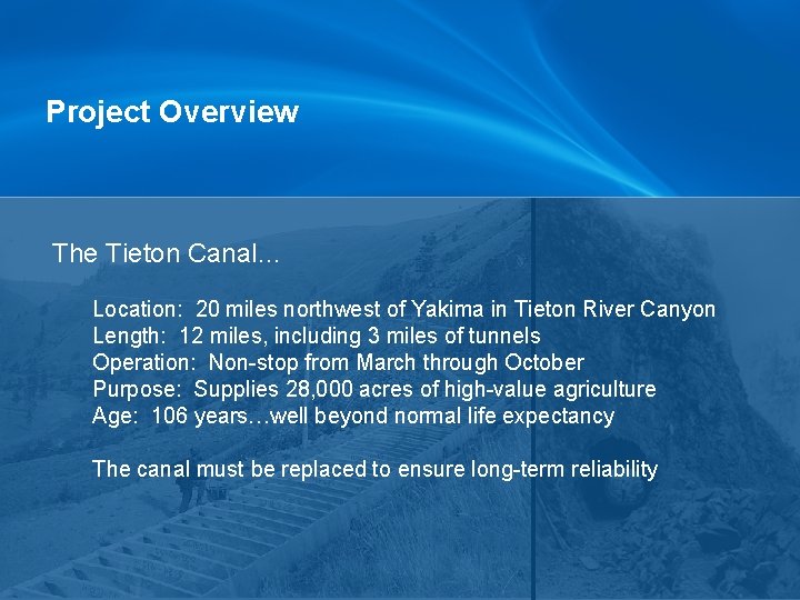
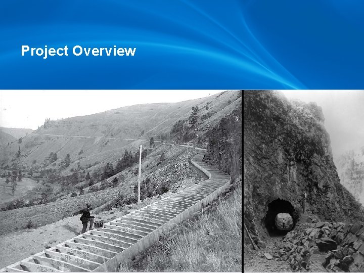
Project Overview The Tieton Canal… Location: 20 miles northwest of Yakima in Tieton River Canyon Length: 12 miles, including 3 miles of tunnels Operation: Non-stop from March through October Purpose: Supplies 28, 000 acres of high-value agriculture Age: 106 years…well beyond normal life expectancy The canal must be replaced to ensure long-term reliability
Project Overview
Project Overview – YTID Service Area Tieton Canal Cowiche Creek Water Exchange City of Yakima Ahtanum I. D
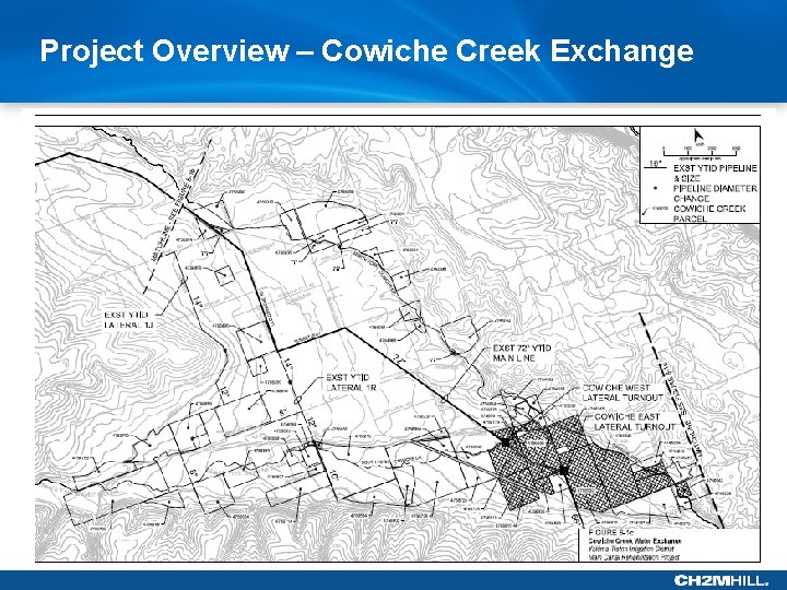
Project Overview – Cowiche Creek Exchange
Project Overview Cowiche Creek Water Exchange • 10 -year effort by Ecology, Reclamation, NYCD, SRB, and YTID to restore steelhead habitat in Cowiche Creek • Tieton River water is delivered to parcels holding Cowiche Creek Water Rights • Phase 1: In 2014, YTID completed 2 turnouts that deliver 8 cfs • Phase 2: Future phases could serve 52 additional parcels, 16 cfs
Project Overview - Summary • • YTID agriculture is vital to the Yakima Valley economy YTID generates $600 million in annual sales from fruit Most money stays local, supporting thousands of jobs YTID is strategically located to support environmental restoration in Cowiche Creek and Ahtanum Creek • None of this is possible without YTID and the Tieton Canal
Purpose and Need for the Project Purpose: • Replace the aging Tieton Canal • Maintain reliable ag water deliveries for next 100 years • Fulfill existing commitments to environmental restoration • Create flexibility for future ag, environmental, municipal, and groundwater enhancements Need: • Aging infrastructure has a history of failure • Unstable hillside geology is high risk • Improve access, reliability, and reduce O&M costs
Questions and Comments?
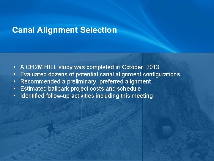
Canal Alignment Selection • • • A CH 2 M HILL study was completed in October, 2013 Evaluated dozens of potential canal alignment configurations Recommended a preliminary, preferred alignment Estimated ballpark project costs and schedule Identified follow-up activities including this meeting
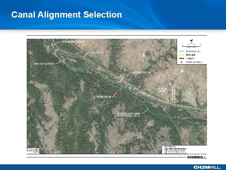
Canal Alignment Selection
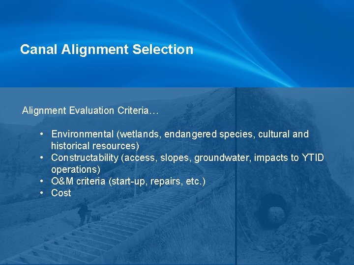
Canal Alignment Selection Alignment Evaluation Criteria… • Environmental (wetlands, endangered species, cultural and historical resources) • Constructability (access, slopes, groundwater, impacts to YTID operations) • O&M criteria (start-up, repairs, etc. ) • Cost
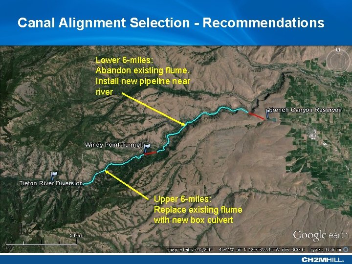
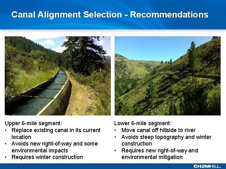
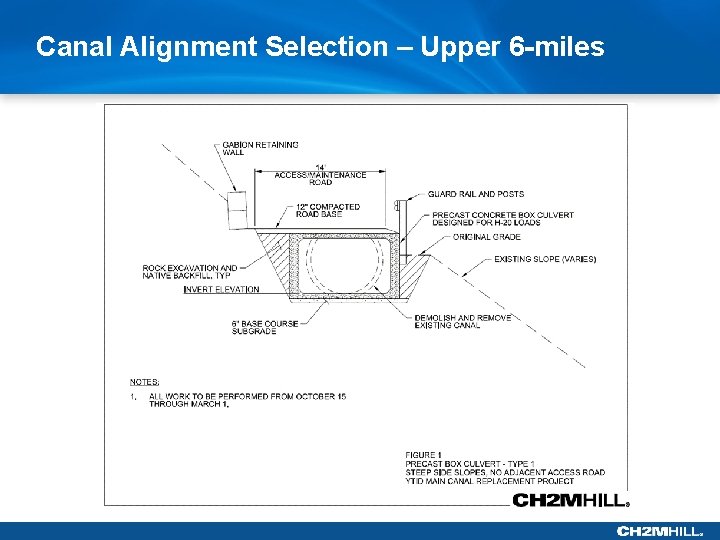
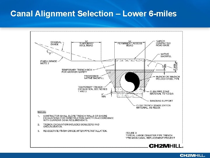
Canal Alignment Selection - Recommendations Lower 6 -miles: Abandon existing flume. Install new pipeline near river Upper 6 -miles: Replace existing flume with new box culvert
Canal Alignment Selection - Recommendations Upper 6 -mile segment: • Replace existing canal in its current location • Avoids new right-of-way and some environmental impacts • Requires winter construction Lower 6 -mile segment: • Move canal off hillside to river • Avoids steep topography and winter construction • Requires new right-of-way and environmental mitigation
Canal Alignment Selection – Upper 6 -miles
Canal Alignment Selection – Lower 6 -miles
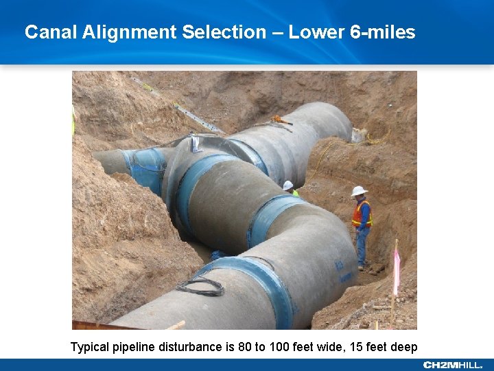
Canal Alignment Selection – Lower 6 -miles Typical pipeline disturbance is 80 to 100 feet wide, 15 feet deep
Canal Alignment Selection Current Status of the Project: • • Preliminary, preferred alignment has been identified Planning and reconnaissance-level field investigations in progress Detailed environmental studies and engineering have not started Construction may be 5 to 10 years out, depending on funding
Preliminary Environmental Issues
Preliminary Environmental Issues
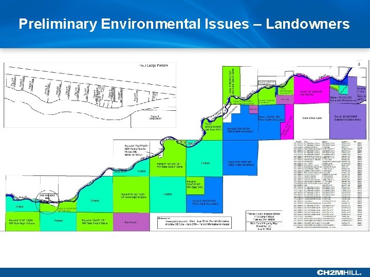
Preliminary Environmental Issues – Landowners
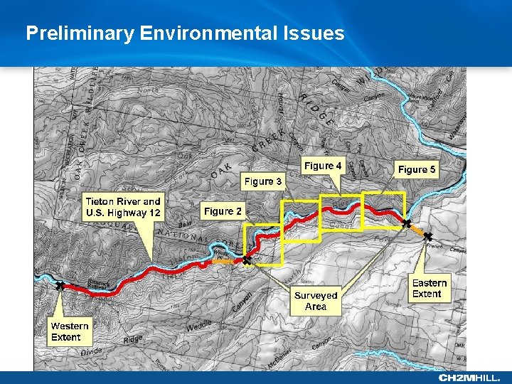
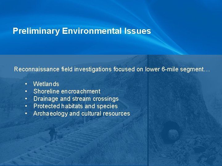
Preliminary Environmental Issues Reconnaissance field investigations focused on lower 6 -mile segment… • • • Wetlands Shoreline encroachment Drainage and stream crossings Protected habitats and species Archaeology and cultural resources
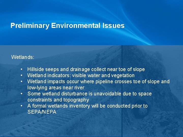
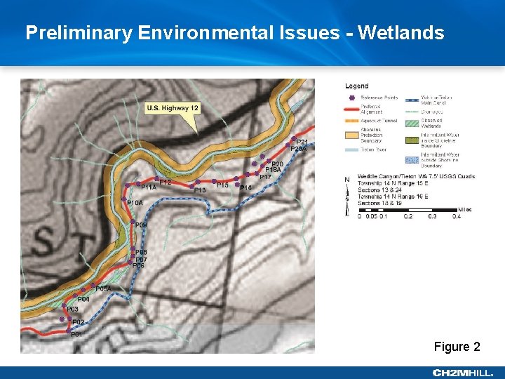
Preliminary Environmental Issues Wetlands: • Hillside seeps and drainage collect near toe of slope • Wetland indicators: visible water and vegetation • Wetland impacts occur where pipeline crosses toe of slope and low-lying areas near river • Some wetland disturbance is unavoidable due to space constraints and topography • A formal wetlands inventory will be conducted prior to SEPA/NEPA
Preliminary Environmental Issues - Wetlands Figure 2
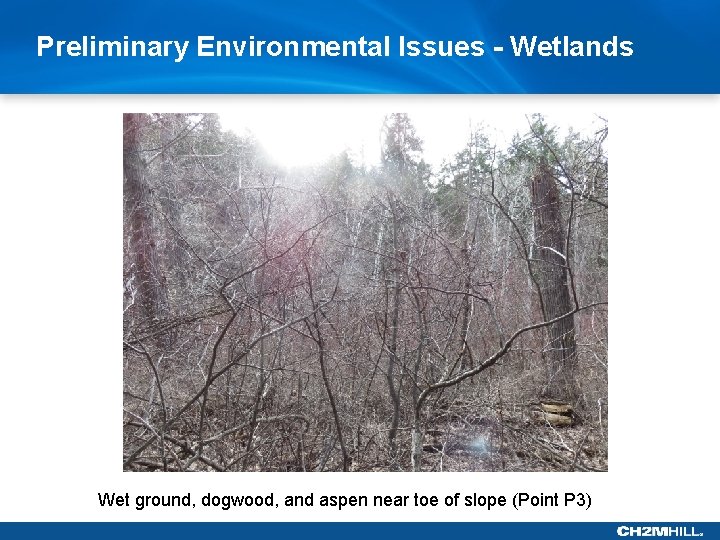
Preliminary Environmental Issues - Wetlands Wet ground, dogwood, and aspen near toe of slope (Point P 3)
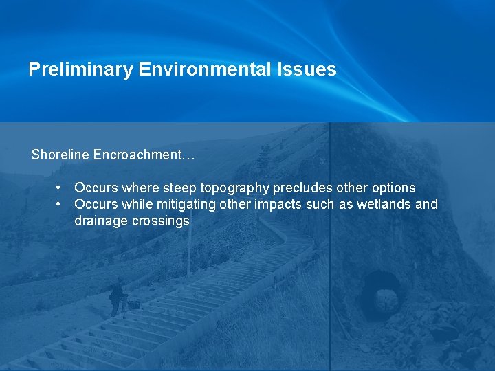
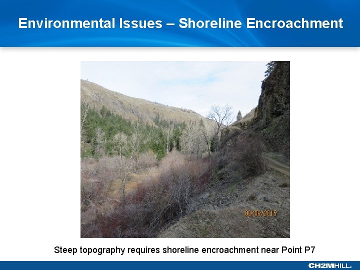
Preliminary Environmental Issues Shoreline Encroachment… • Occurs where steep topography precludes other options • Occurs while mitigating other impacts such as wetlands and drainage crossings
Environmental Issues – Shoreline Encroachment Steep topography requires shoreline encroachment near Point P 7
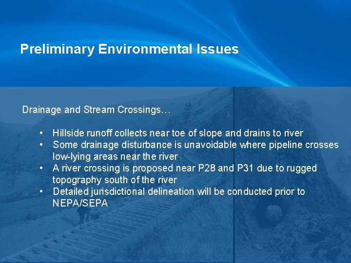
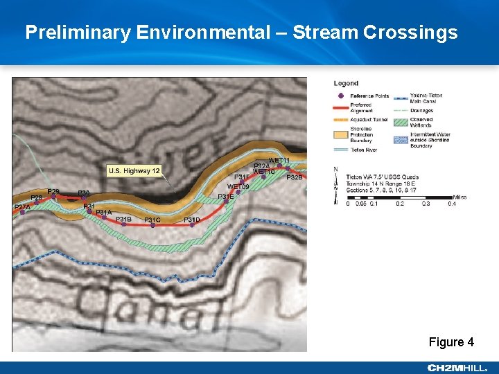
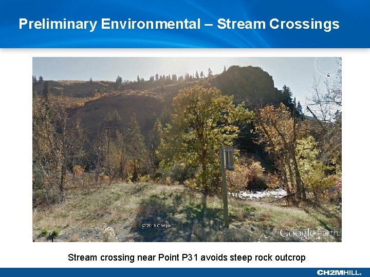
Preliminary Environmental Issues Drainage and Stream Crossings… • Hillside runoff collects near toe of slope and drains to river • Some drainage disturbance is unavoidable where pipeline crosses low-lying areas near the river • A river crossing is proposed near P 28 and P 31 due to rugged topography south of the river • Detailed jurisdictional delineation will be conducted prior to NEPA/SEPA
Preliminary Environmental – Stream Crossings Figure 4
Preliminary Environmental – Stream Crossings Stream crossing near Point P 31 avoids steep rock outcrop
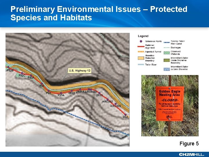
Preliminary Environmental Issues Yakima County list of protected habitats and species: • • Bull Trout Steelhead Grizzly bear Marbled murrelet and Northern Spotted owl Ute ladies’-tresses Bald and Golden Eagle Protection Act Golden Eagle Protection Area Migratory Bird Treaty Act – protection of birds nesting in the area during construction
Preliminary Environmental Issues – Protected Species and Habitats Figure 5
NEPA/ SEPA • SEPA Lead Agency – Yakima-Tieton Irrigation District • NEPA Lead Agency – USBR
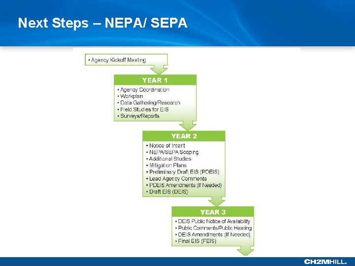
Next Steps – NEPA/ SEPA
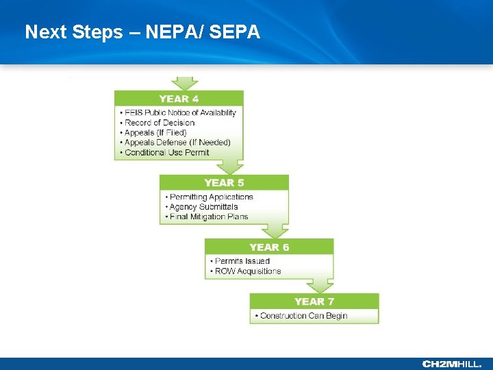
Next Steps – NEPA/ SEPA
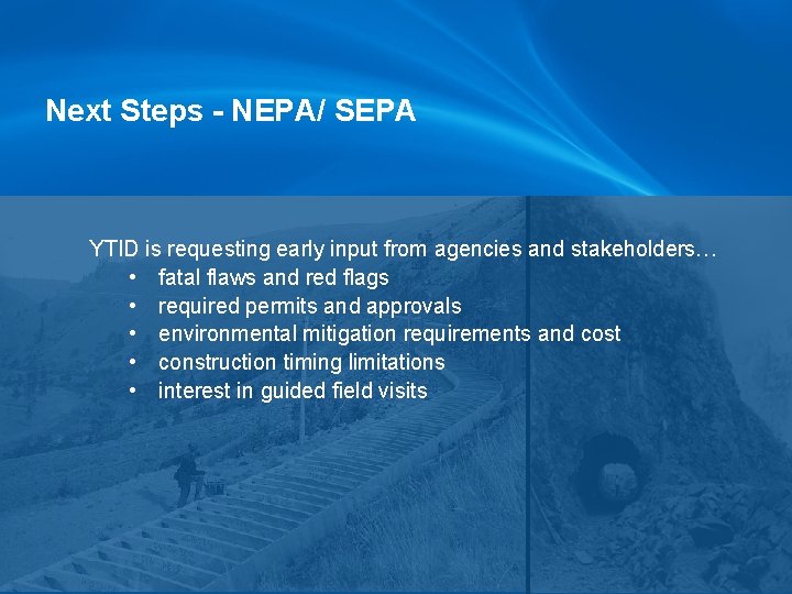
Next Steps - NEPA/ SEPA YTID is requesting early input from agencies and stakeholders… • fatal flaws and red flags • required permits and approvals • environmental mitigation requirements and cost • construction timing limitations • interest in guided field visits
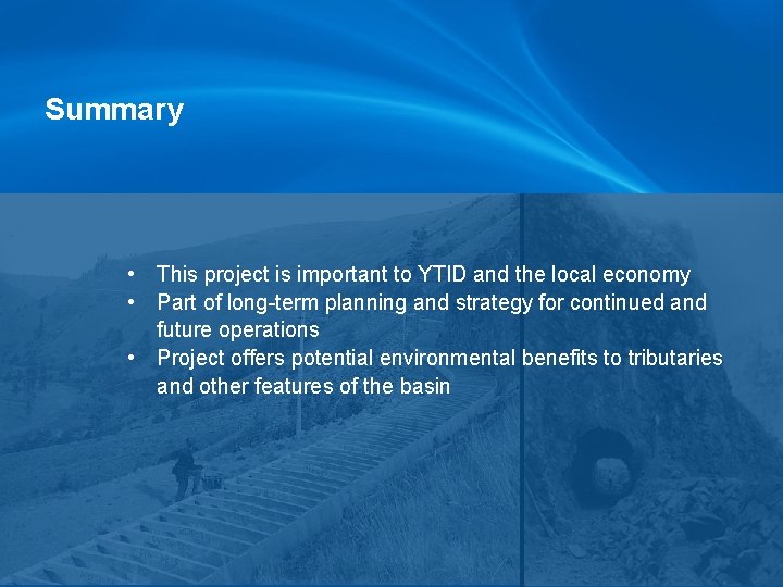
Summary • This project is important to YTID and the local economy • Part of long-term planning and strategy for continued and future operations • Project offers potential environmental benefits to tributaries and other features of the basin
Questions and Answers
Optional Field Trip