WMO Impactbased forecast and warning services Tools Alice

WMO Impact-based forecast and warning services - Tools Alice Soares Scientific Officer Data-Processing and Forecasting Systems (DPFS) Division asoares@wmo. int Curaçao, 10 -13 October 2016 WMO; WDS

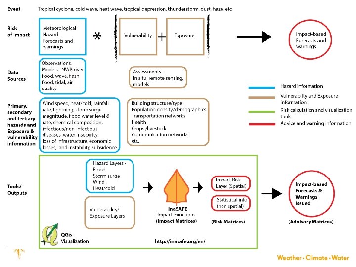
Hazard matrix Impact matrix Risk matrix Advisory matrix

REQUIREMENTS 1. Accurate and timely forecasts of the primary and secondary meteorological and or hydrological hazards 2. Accurate and timely forecasts of the tertiary hazards 3. Assessments of the vulnerability and exposure of population and assets 4. Understanding of the causal relationships among hazards, vulnerability and exposure to forecast the impact on people and assets 5. Provide early warning of the risk of hazard impacts Want to be able to perform risk analysis for: 1. Scenarios to identify potential threats and to reduce vulnerability and or exposure prior to the realization of the threat 2. Real-time forecasting and warning system Open source and open data

OPEN SOURCE AND OPEN DATA 1. Cost: No barrier to entry and no barrier to scale up 2. Capacity Building: More opportunities for capacity building 3. Collaboration: Opportunities to collaborate on free and open source technologies: shared investments 4. Customization: easily adapted to country requirements

Examples of open source tools 1. Geonode – a web-based tool to store geospatial information 2. Open. Street. Map – community of mappers – the way to build maps of vulnerable and exposed assets and people 3. Ina. SAFE – used to build impact scenarios and can be adapted to generate warnings 4. QGis – open source geospatial information system for visualizing data

GEONODE – online geospatial data 1. Free and Open Source 2. User and Developer Community 3. Support 4. Simple online tools to: a. Search for data in catalogue b. Collaborate and share data c. Manage users and rights d. Manage metadata e. Standard compliant

Open. Street. Map • Access to detailed data • Open source tools for mapping • Common platform for uploading and hosting data with open access • Active global community of users • Training resources

Open. Street. Map – Buildings and Roads layer

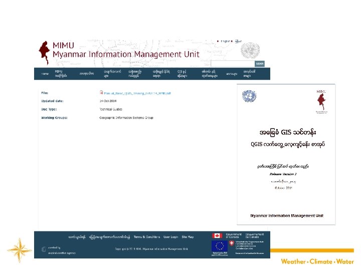
QGis § Open source geographical information system used to visualize information § Myanmar Information Management Unit
 § Using Data to Inform Decisions §")
Ina. SAFE (Indonesian Scenario Assessment For Emergencies) § Using Data to Inform Decisions § Makes it easier to generate realistic disaster scenarios for contingency planning § Makes it easier to generate hazard impact forecasts and warnings

WMO Thank You Alice Soares asoares@wmo. int
- Slides: 13