Why Do Boundaries Cause Problems Chapter 8 2

Why Do Boundaries Cause Problems? Chapter 8. 2

Shapes of States n 5 basic shapes n Communication/Conflict with neighbours n Internal administration n Social unity
")
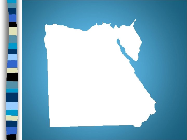
Compact States: Efficient Distance from center to any boundary doesn’t vary much (think circle) n Good communication especially if capital is in center n Ex. Kenya, Uganda, Burundi n

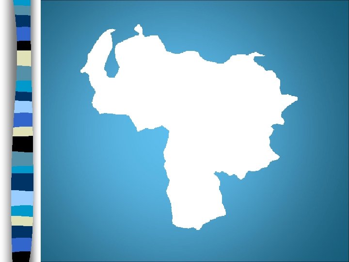
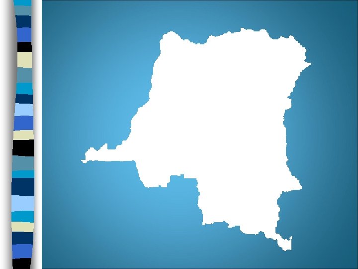
Prorupted States: Access/Disruption Compact state w/ large projecting extension n Can provide access to a resource (water) n Can separate 2 states that would otherwise share a boundary n Ex. Namibia, Dem. Rep. of Congo, Afghanistan n

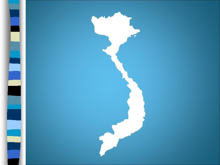
Elongated States: Potential Isolation Long & narrow n Poor internal communication n Ex. Italy, Chile, Gambia n

Fragmented States: Problematic Several discontinuous pieces n Either separated by water or by another state n Difficult communication & sense of unity n Ex. Indonesia, Angola, USA n

Perforated States: South Africa A state that completely surrounds another state n Surrounded states completely dependant on imports/exports n Ex. South Africa (Lesotho), Italy (Vatican City) n

Landlocked States n Lacks a direct outlet to the sea because it is completely surrounded by other countries n 14/54 countries in Africa n Forces communication with neighbours • International trade

Types of Boundaries n Historically – frontiers rather than borders – Antarctica & Arabian peninsula n Boundaries can be physical or cultural

Physical Boundaries: Easily seen Mountains n Can be effective if difficult to cross n Permanent n Sparsely inhabited n Argentina & Chile almost fought a war trying to decide on the boundary line

Desert Boundaries Hard to cross n Sparsely populated n Common in Africa & Asia n – Sahara desert seperates Algeria, Libya & Egypt from neighbours to the south

Water Boundaries n n n n Rivers, lakes, oceans Most common physical features used as boundaries Visible Unchanging Good protection from attack Where in the water in the boundary? East Africa (various lakes)
 &")
Cultural Boundaries Geometric Boundaries n Based on lines – Latitude/longitude – Canada (Britain) & USA - 49°N (USA originally wanted 54°) • Bizarre Borders Religious Boundaries n Only in a few cases – India/Pakistan – Ireland

Language Boundaries n Important in Europe n After WWI, map of Europe was redrawn (Versailles Peace Conference) – Language most important criterion • Used to create new states & adjust borders of existing ones – Romania, Poland, Hungary, Bulgaria

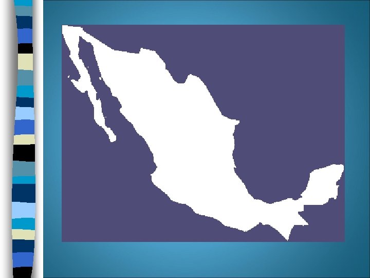
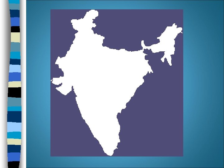
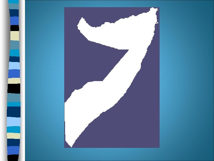
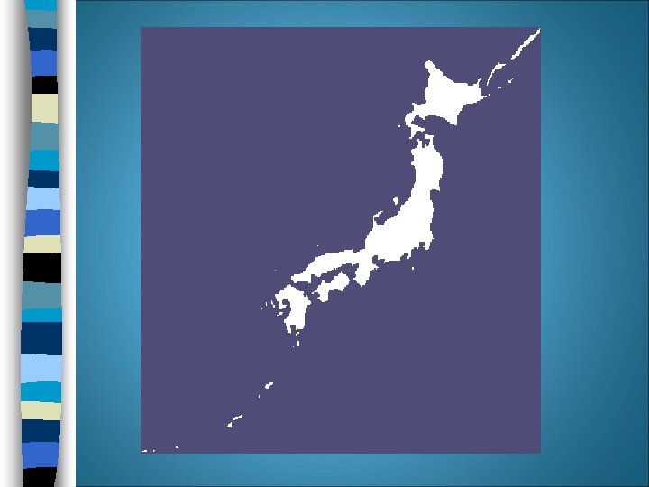
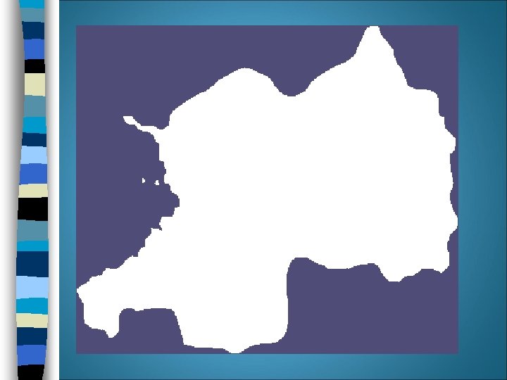
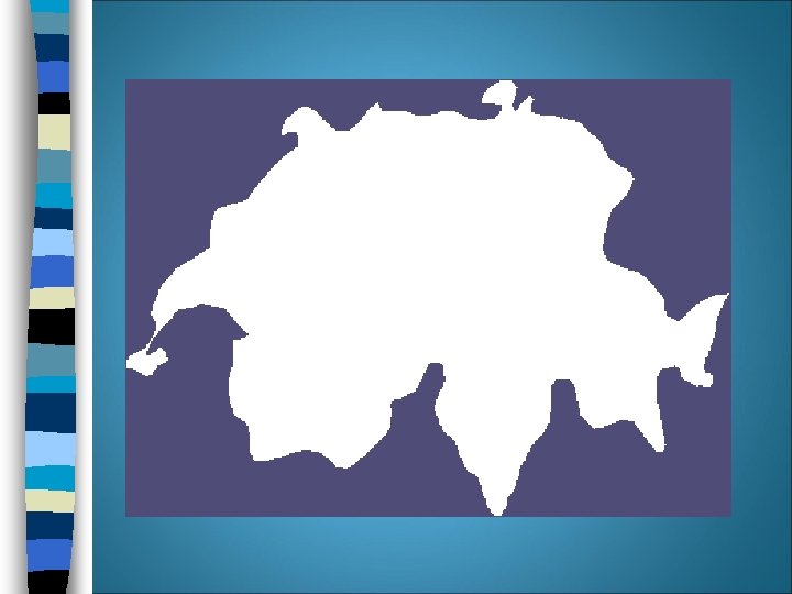
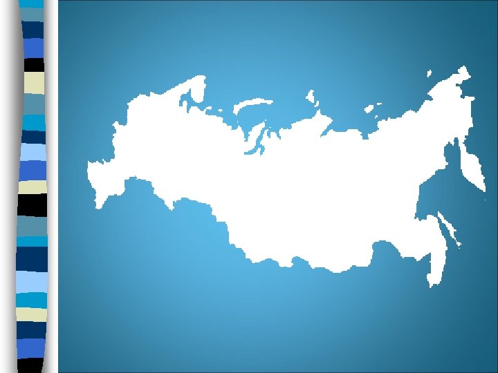
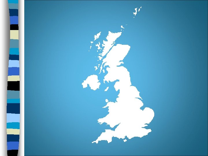
Name that Shape…. & Name that State!

Electoral Geography n Legislative districts in US & other countries are sometimes redrawn – Changing populations – Each district should have same population – Redrawn every 10 years in USA

Gerrymandering n The process of redrawing legislative boundaries for the purpose of benefiting the party in power n Named for American Elbridge Gerry (1744 -1814) n 3 types • Wasted vote (spread out) • Excess vote (concentrates) • Stacked vote (weird links)
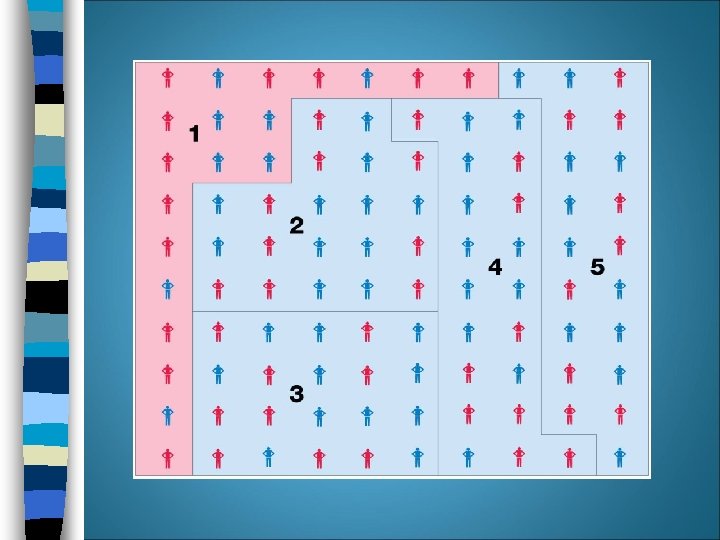
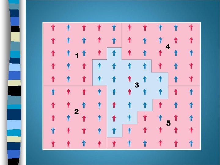
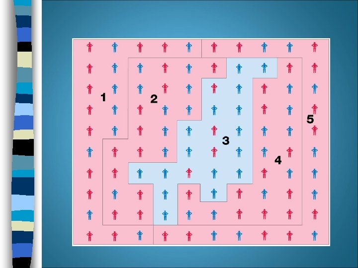

Cont’d… Recent gerrymandering in the US has primarily been “stacked vote” n Especially attractive to create districts inclined to elect ethnic minorities n • (90% of blacks vote democrat, therefore Republicans support a “stacked” Democratic district) n Illegal in U. S. as of 1985 but did not require dismantling of existing districts

Gerrymandering: Florida and Georgia Fig. 8 -11: State legislature boundaries were drawn to maximize the number of legislators for Republicans in Florida and Democrats in Georgia.

n Gerrymandering
- Slides: 35