Western Cordillera Location along the western edge of


- Slides: 30
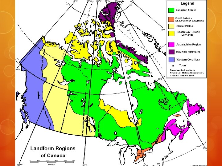
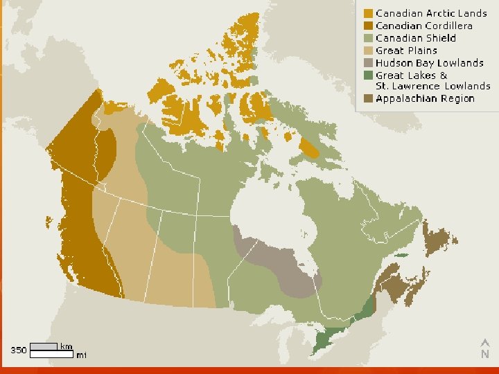
Western Cordillera ○ Location: along the western edge of the continent. ○ Appearance: Range after range of mountains separated by plateaus and valleys. Great height, jagged appearance. Sparesly populated with some cities in the valleys. ○ Formation: This is the youngest mountain range in North America. Formed when the North American plate and the Pacific plate collided. ○ Industries: Tourism, such as skiing and sight seeing. Some mining and farming along the coast.
Appalachian Mountains ○ Location: The Atlantic coastline, Maritime provinces and the Gaspe Peninsula. ○ Appearance: Millions of years of erosion have worn away the once jagged mountains into rolling mountains and hills. ○ Formation: This is the oldest landform region in North America. They were formed when North America and Europe collided during the formation of Pangaea. Glaciation has also created wide valleys between the hills. ○ Industries: Fertile soil in the valleys is good for farming. Small inlets make excellent harbors good for fishing and tourism.
Innuitions ○ Location: Canada’s extreme north. ○ Appearance: Tall with jagged peaks. Barren of vegetation and covered in snow and ice year round. ○ Formation: Formed when the North American Plate moved north. Composed of mostly sedimentary rock. ○ Industries: No industries due to the extremely cold climate.
Canadian Shield ○ Location: Takes up over half of Canada and some of the United States. Central Canada. ○ Appearance: Relatively flat with rounded hills of rock that were once mountains. Composed of Igneous and Metamorphic rock. Has many lakes and rivers in addition to vast forests. ○ Formation: Formed by volcanic action millions of years ago that eroded the mountains that once existed there. ○ Industries: Rocks contain minerals that are good for mining. Many lakes and rivers are good for recreational tourism (fishing, hunting, cottages). Many rivers are well suited to hydroelectricity.
Interior Plains ○ Location: Stretches from the Arctic Ocean to the Gulf of Mexico. Mainly Southern Alberta, Manitoba and Saskatchewan. ○ Appearance: Rolling hills and deep wide valleys. ○ Formation: Creation due to the compression of sediments over millions of years. Different rates of erosion cause different levels in the Prairies. Glaciers once covered the province. When they receded, they scraped away the landscape that was once there. After the glaciers receded, there was a large lake in its place that created much fertile soil. ○ Industries: Farming due to the fertile soil. Compression of sediments has created oil and gas in some areas.
Great Lakes/St. Lawrence Lowlands ○ Location: Around the Great Lakes and the St. Lawrence River. Southern Ontario and Quebec ○ Appearance: Rolling Hills and Valleys. Fairly flat. ○ Formation: Great Lakes were created by glaciers receding, they scraped away the landscape that was once there. St. Lawrence was formed by a fault in the earth that split the land between the Appalachians and the Canadian Shield. The split was filled with glacial water. ○ Industries: Most densely populated region in Canada due to a warmer climate and abundance of transportation routes. Farming due to the fertile soil.
Biome Map
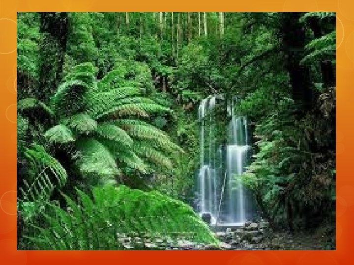
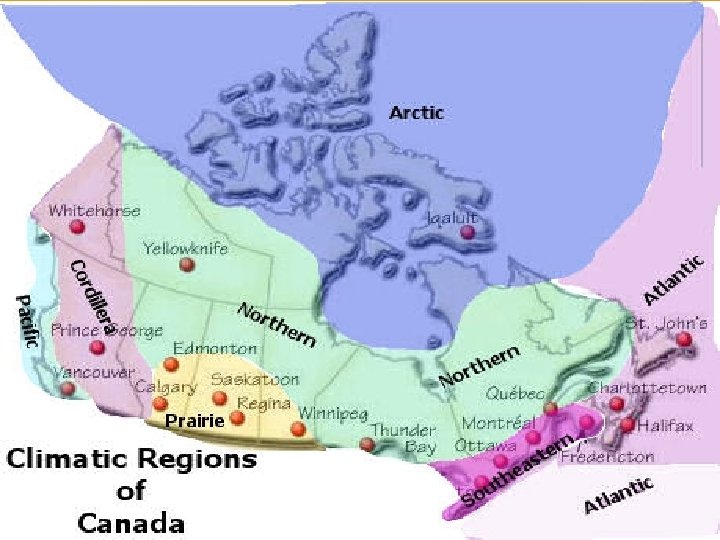
Cordilleran Climate ○ The cordillera region is the most diverse climate region in Canada. This is due to its proximity to the mountains. ○ On the west side of the Cordillera has very high levels of precipitation and has mild temperatures year round. ○ Large trees and vegetation thrive in this area. ○ The eastern portion of the region is much drier, as the mountains block warm air off the Ocean. ○ There is much less precipitation as well. ○ Temperature range is relatively narrow.
Arctic Climate ○ Features of this climate include very low levels of precipitation with most falling in the summer. ○ Summers or mild and winters are extremely cold. ○ This climate produces conditions known as Tundra. ○ The Arctic climate is found in countries/locations bordering the Arctic Ocean.
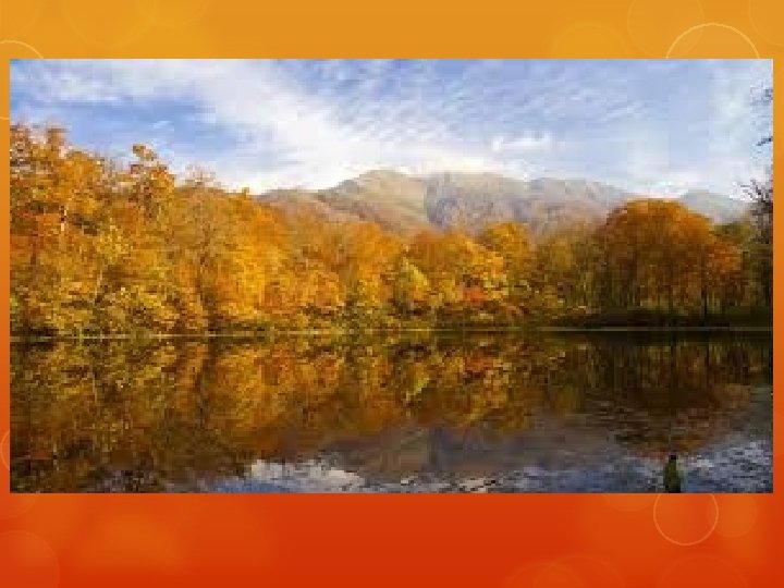
Atlantic Maritime ○ This climate is heavily influenced by the Atlantic Ocean. ○ This causes cool summers (14 C) and mild winters (-5 C). ○ Fairly narrow temperature range. ○ This also brings high levels of precipitation throughout the year. ○ Located in the Maritime provinces and includes the Gaspe Peninsula.
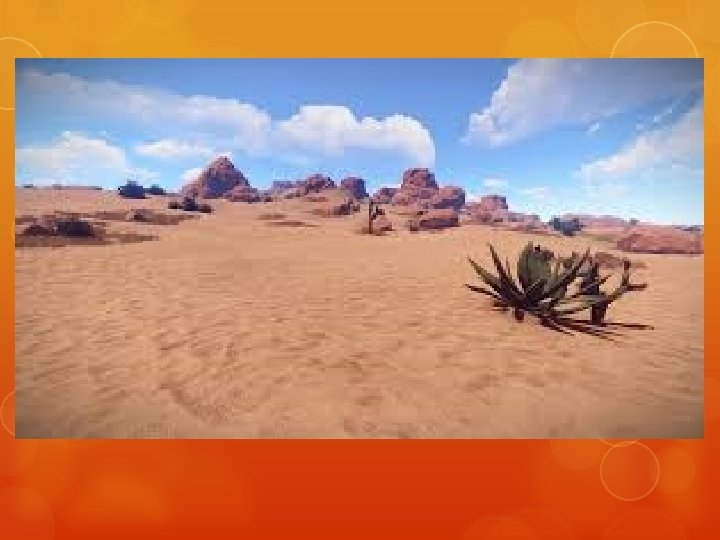
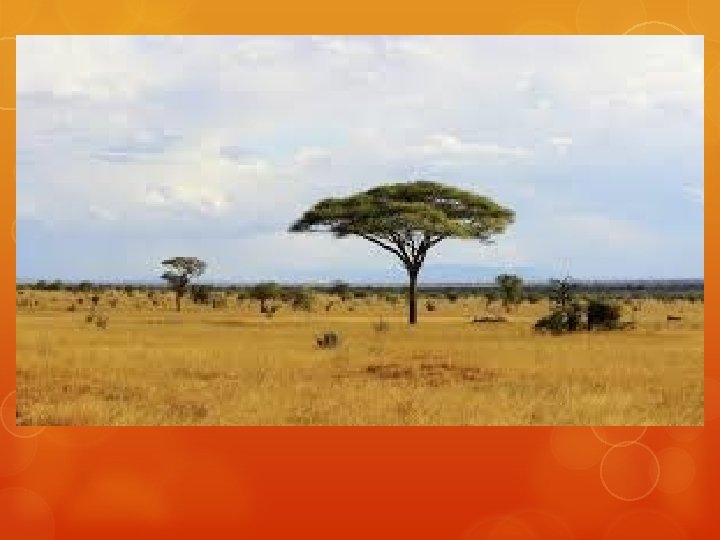
Prairie Climate ○ Distance from large bodies of water creates a broad temperature range ○ Hot summers and cold winters ○ Very broad temperature range. ○ Shadow of the mountains cause precipitation levels to be relatively low, with most falling in the summer months. ○ Located in southern Alberta, Manitoba and Saskatchewan.
Ecozones
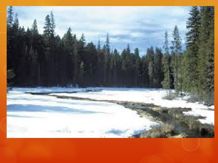
Taiga Climate ○ The Taiga climate is largely determined by cool arctic air. ○ The average temperature is below freezing for 6 months of the year. ○ Summers may reach up into the mid twenties. ○ Overall temperature range is fairly broad. ○ Precipitation levels are low, with most falling in the form of rain in the summer. ○ Located in the northern regions of the World and Canada.
Southeastern Climate ○ This type of climate is slightly moderated by the Great Lakes and St. Lawrence River. This moderation is not as great as the Oceans. ○ As a result, there is a fair amount of precipitation, however not as much as on the coastal regions. ○ The temperatures are somewhat mild in the winter and fairly hot in the summer. ○ Relatively narrow temperature range ○ Located in the southern portion of Ontario and Quebec around the Great Lakes and St. Lawrence River.
Boreal Climate ○ This climate region spans all of the way across Canada. For that reason there are some variations in climate. ○ The temperatures stay mostly the same throughout the region with cool winters and warm summers. No extreme temperatures. ○ Precipitation can vary throughout the region with heavy precipitation in the East and lower amounts in the west. ○ On average the amount of precipitation is more than many other interior climates. ○ Temperature range is somewhat broader than other climates.
Pacific Maritime ○ This climate type is heavily altered by the Pacific Ocean. ○ This creates an extremely small temperature range and the largest amounts of precipitation in Canada. (especially in the Winter. ) ○ Extremely mild summers and cool winters.
Maritime and Continental Climates ○ The following climates are referred to as Maritime climates: ○ The following climates are referred to as continental climates: ○ Pacific Maritime ○ Arctic ○ Atlantic Maritime ○ Taiga ○ Southeastern ○ Boreal ○ Cordilleran ○ Prairie
Maritime Climates ○ A maritime climate is one that is strongly influenced by the closeness of an ocean or another large body of water (example Great Lakes). ○ The annual temperature range is small ○ amount of precipitation is high. ○ All of this is due to the moderating effect of water. ○ Oceans and other large water bodies heat up and cool off much slower than the land. ○ Winds blowing from over the water keep the surrounding area closer to the temperature of the water. (cooler in summer or warmer in winter) ○ Precipitation is higher due to the evaporation occurring over the water.
Continental Climates ○ A continental climate develops away from the influence of the Ocean or large bodies of water. ○ The annual temperature range tends to be large and the precipitation is low. ○ This is due to the fact that the moderating effect of water mentioned above is not at play.
Population Clusters Map