Weathering The breaking down of the Earths crust
 into smaller pieces (sediment).")
Weathering • The breaking down of the Earth’s crust (rock) into smaller pieces (sediment).

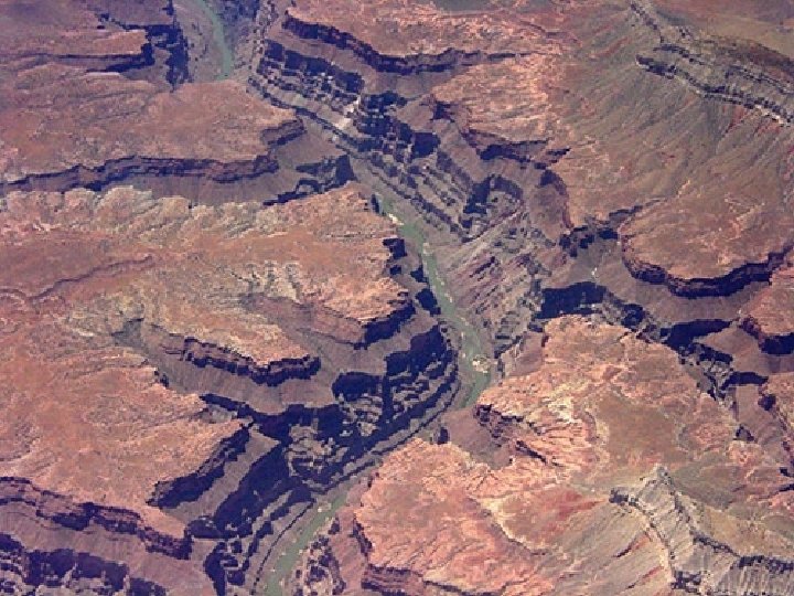
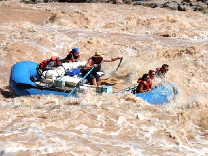
Erosion – The process by which water, ice, wind or gravity move sediment (pieces of rock or soil. )

DEPOSITION - The process by which wind, water, and gravity leave or deposit eroded sediment in new locations.

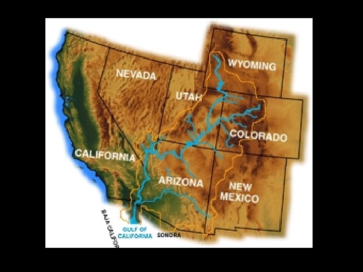
The beginning of the Colorado River

COLORADO RIVER DELTA AT THE SEA OF CORTES

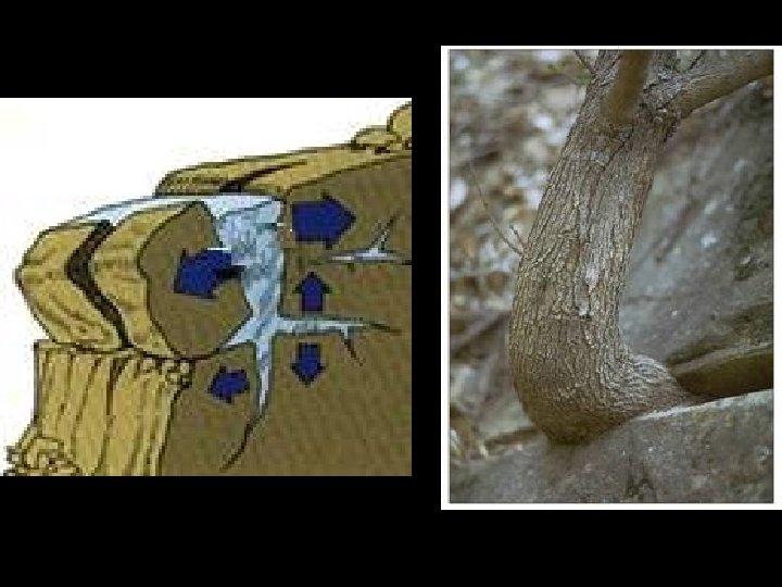
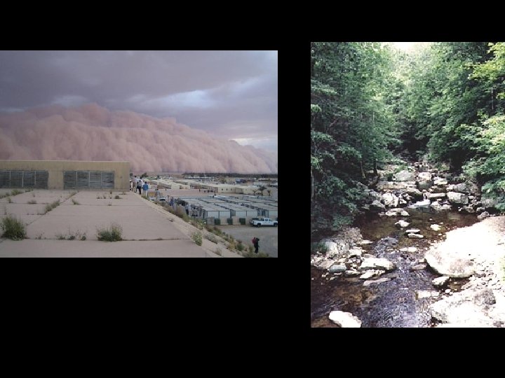
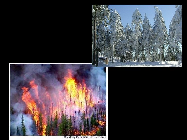
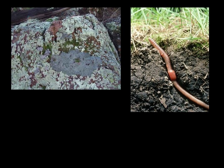
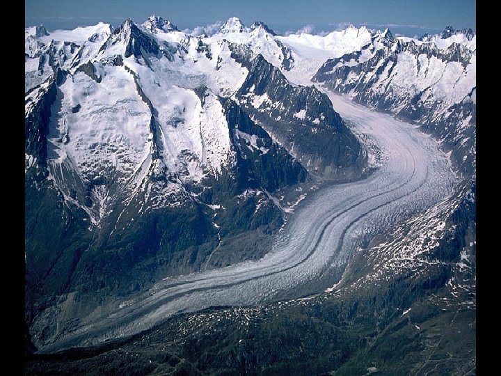
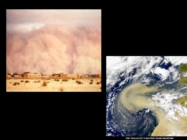
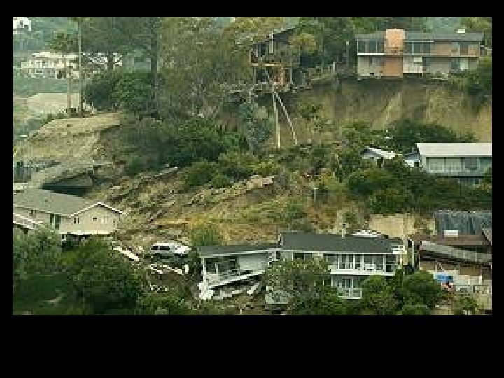
What is it?

What is it?

What is it?

What is it?

What is it?

What is it?

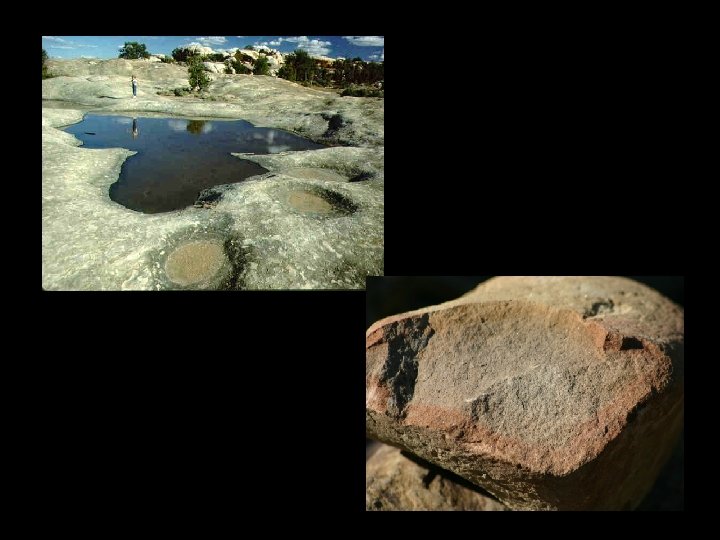
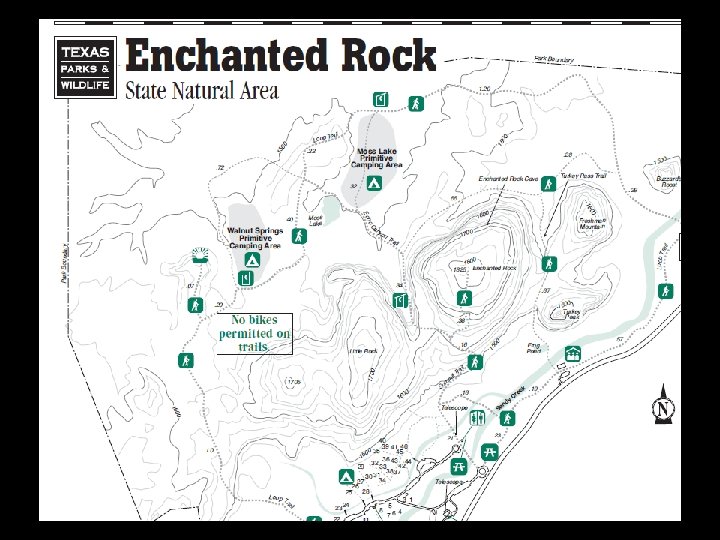
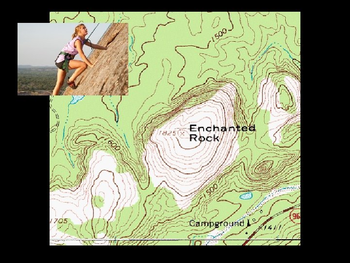
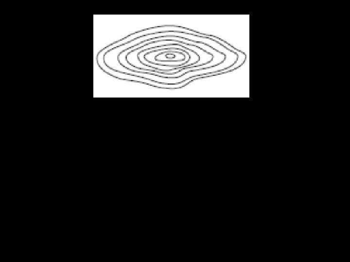
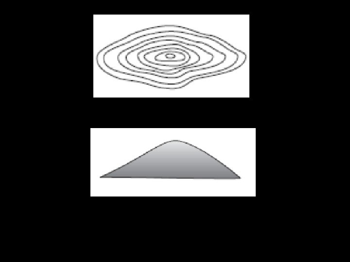
Enchanted Rock

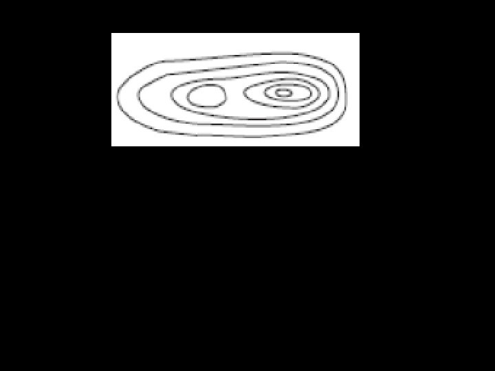
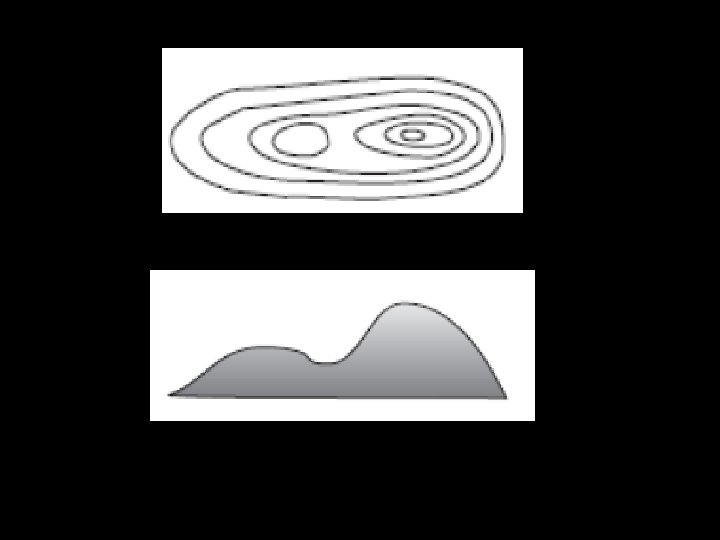
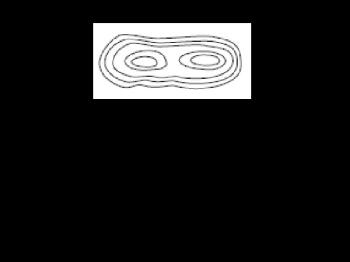
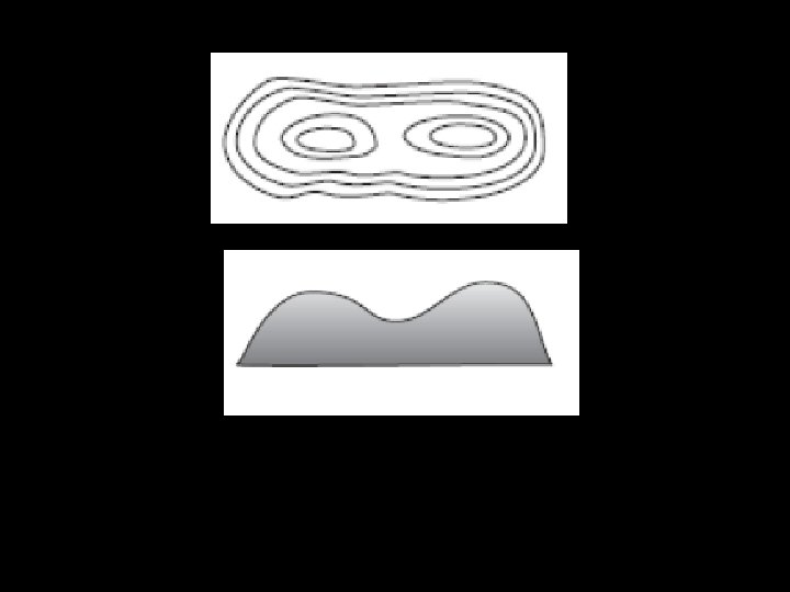
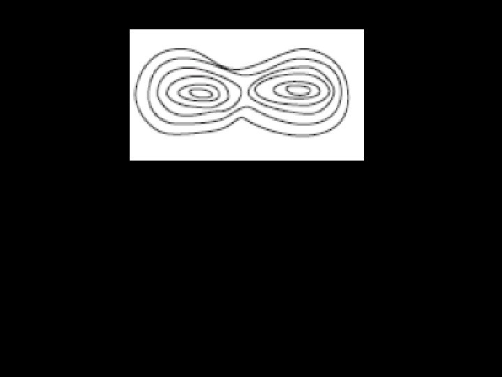
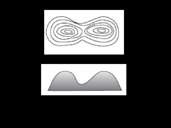
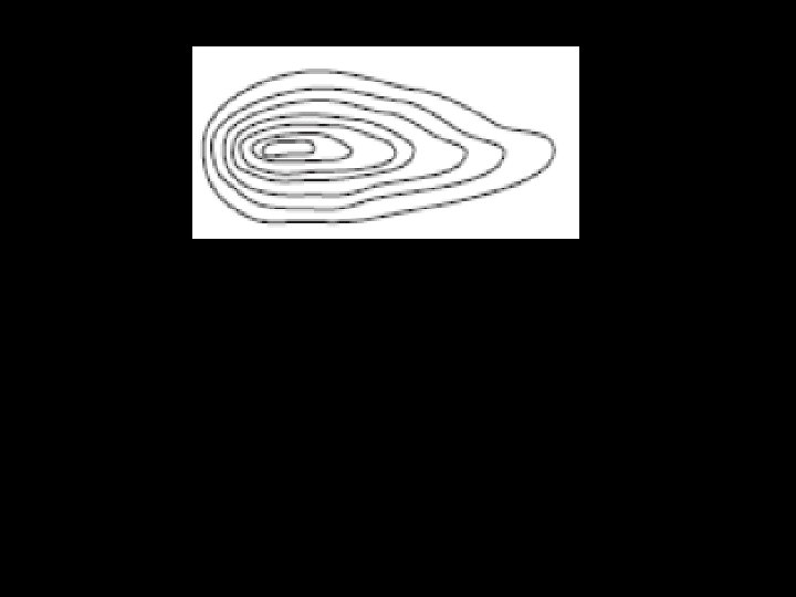
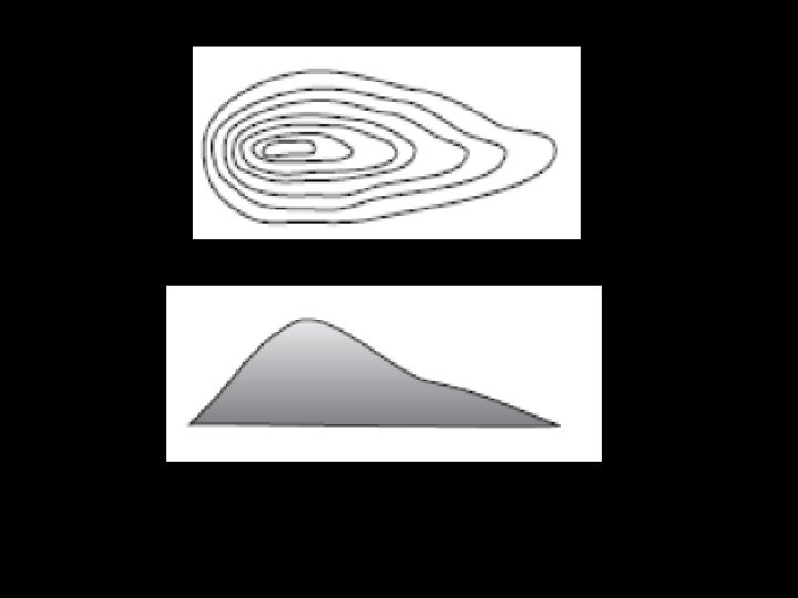
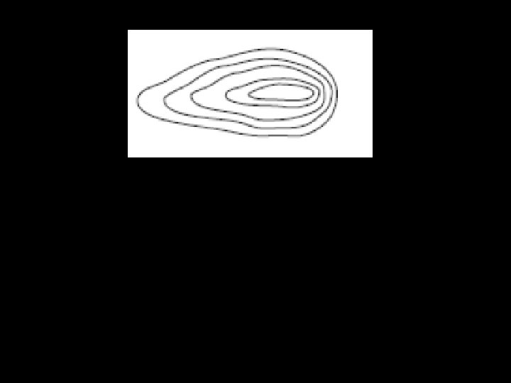
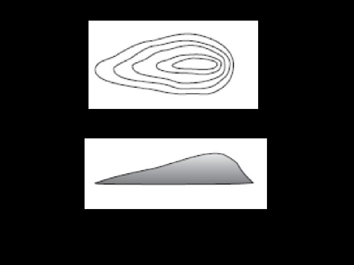
CONTOUR MAPS TOPOGRAPHIC MAPS • A map that shows the shape/elevation of the land surface.

ELEVATION-The height above sea level.

CONTOUR LINES • Every point on a line is the same elevation • Lines that are closer together steeper • Lines that are farther apart flatter

Elevation – 500 ft.

FLATTER STEEPER

CONTOUR INTERVALS • The change in elevation between contour lines. What is the contour interval? C. I. = _______

CONTOUR INTERVALS • The change in elevation between contour lines. What is the contour interval? C. I. = _20 ft. __ What is the elevation of the star?

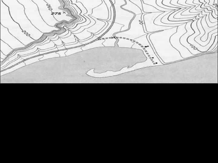
RULE OF V’s show the location of rivers, streams, or valleys

What direction does the water run down? How do you know?

Depression Contours – Show where elevation is dropping

PEAK – HIGHEST POINT OF ELEVATION
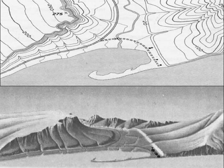

How are topographic maps created? Each section of ground is photographed from two different angles to provide a stereoscopic threedimensional image that can be converted into contour lines.
- Slides: 52