
Weather The Atmosphere and Beyond 1 Weather refers
Weather The Atmosphere and Beyond 1
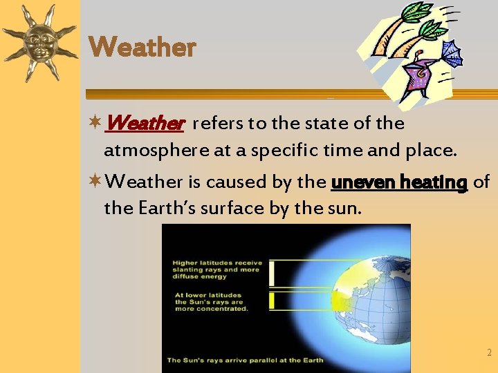
Weather refers to the state of the atmosphere at a specific time and place. Weather is caused by the uneven heating of the Earth’s surface by the sun. 2
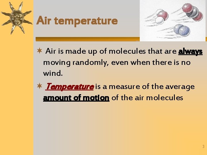
Air temperature Air is made up of molecules that are always moving randomly, even when there is no wind. Temperature is a measure of the average amount of motion of the air molecules 3
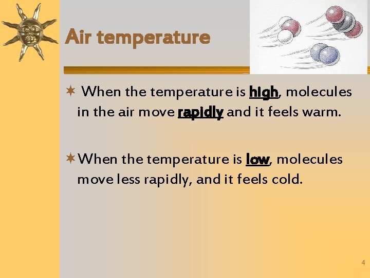
Air temperature When the temperature is high, molecules in the air move rapidly and it feels warm. When the temperature is low, molecules move less rapidly, and it feels cold. 4
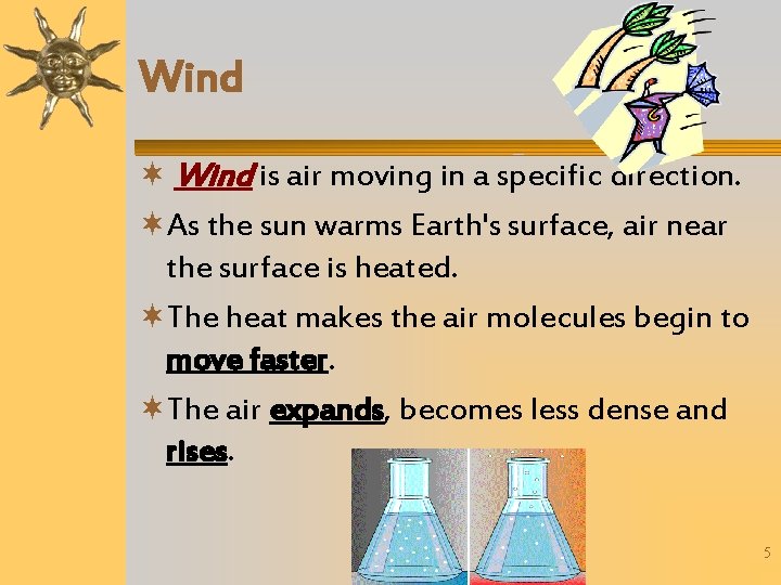
Wind is air moving in a specific direction. As the sun warms Earth's surface, air near the surface is heated. The heat makes the air molecules begin to move faster. The air expands, becomes less dense and rises. 5
Weather Cold air is heavier than warm air, so the cold air moves downward. Warmer air rises as it is displaced This sets up patterns of air circulation in the atmosphere 6
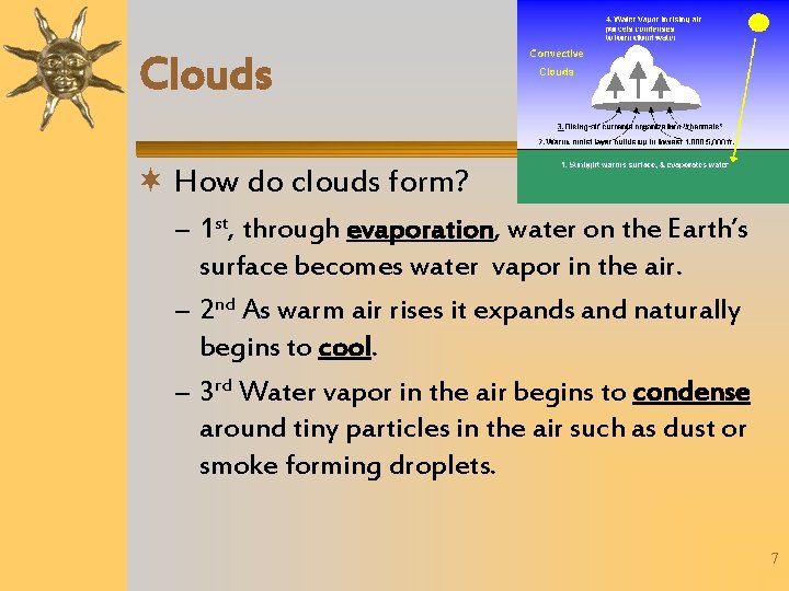
Clouds How do clouds form? – 1 st, through evaporation, water on the Earth’s surface becomes water vapor in the air. – 2 nd As warm air rises it expands and naturally begins to cool. – 3 rd Water vapor in the air begins to condense around tiny particles in the air such as dust or smoke forming droplets. 7
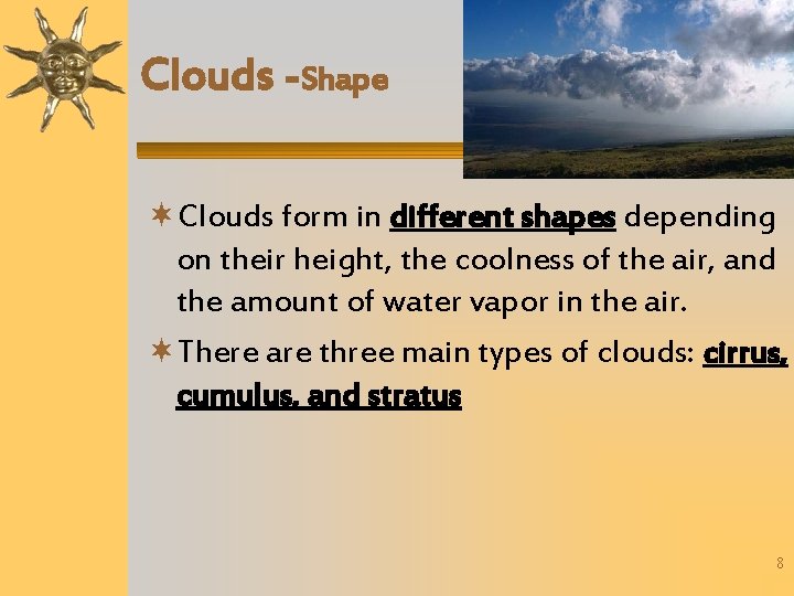
Clouds -Shape Clouds form in different shapes depending on their height, the coolness of the air, and the amount of water vapor in the air. There are three main types of clouds: cirrus, cumulus, and stratus 8
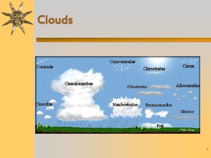
Clouds 9
Clouds-Shape Cirrus clouds appear fibrous or curly. They are high, thin, white, feathery clouds made of ice crystals. Cirrus clouds are normally associated with fair weather, but may sometimes signal approaching storms 10
Clouds- Shape Cumulus clouds are masses of puffy, white clouds often with flat bases. They sometimes tower to great heights and can be associated with thunderstorms. 11
Clouds- Shape Stratus clouds form layers, or smooth even sheets across the sky. They usually form at low altitudes and may be seen in fair weather or in rain and snow. When air reaches its dew point near the ground, it may form the status cloud called fog 12
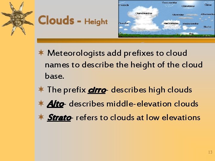
Clouds - Height Meteorologists add prefixes to cloud names to describe the height of the cloud base. The prefix cirro- describes high clouds Alto- describes middle-elevation clouds Strato- refers to clouds at low elevations 13
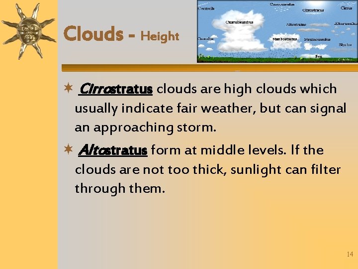
Clouds - Height Cirrostratus clouds are high clouds which usually indicate fair weather, but can signal an approaching storm. Altostratus form at middle levels. If the clouds are not too thick, sunlight can filter through them. 14
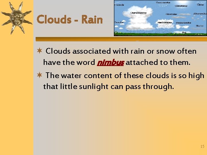
Clouds - Rain Clouds associated with rain or snow often have the word nimbus attached to them. The water content of these clouds is so high that little sunlight can pass through. 15
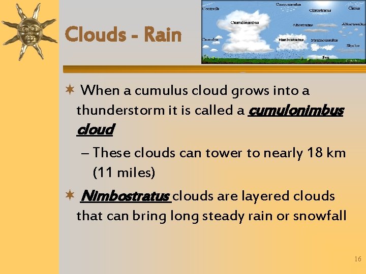
Clouds - Rain When a cumulus cloud grows into a thunderstorm it is called a cumulonimbus cloud – These clouds can tower to nearly 18 km (11 miles) Nimbostratus clouds are layered clouds that can bring long steady rain or snowfall 16
Discussion Questions What are three main types of cloud shapes? – Cirrus, Cumulus, Stratus What are three classifications of cloud height, and what do they mean? – Cirro- high clouds – Alto- mid level clouds – Strato- low clouds 17
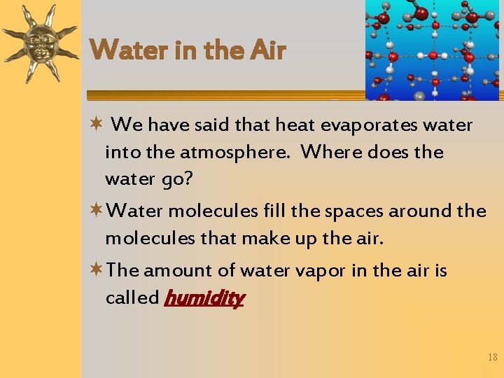
Water in the Air We have said that heat evaporates water into the atmosphere. Where does the water go? Water molecules fill the spaces around the molecules that make up the air. The amount of water vapor in the air is called humidity 18
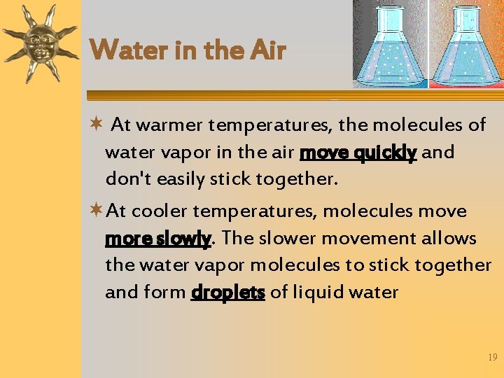
Water in the Air At warmer temperatures, the molecules of water vapor in the air move quickly and don't easily stick together. At cooler temperatures, molecules move more slowly. The slower movement allows the water vapor molecules to stick together and form droplets of liquid water 19
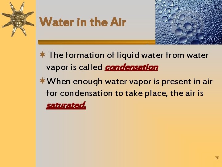
Water in the Air The formation of liquid water from water vapor is called condensation When enough water vapor is present in air for condensation to take place, the air is saturated. 20
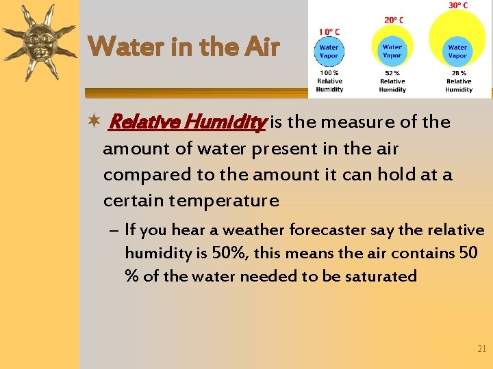
Water in the Air Relative Humidity is the measure of the amount of water present in the air compared to the amount it can hold at a certain temperature – If you hear a weather forecaster say the relative humidity is 50%, this means the air contains 50 % of the water needed to be saturated 21
Discussion Question Why can more water vapor be present in warm air than in cold air? – The air molecules are spread further apart in warm air, therefore there is more room for water molecules to fill the gaps. 22
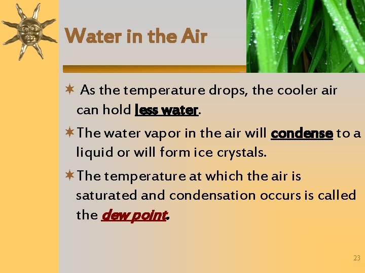
Water in the Air As the temperature drops, the cooler air can hold less water. The water vapor in the air will condense to a liquid or will form ice crystals. The temperature at which the air is saturated and condensation occurs is called the dew point. 23
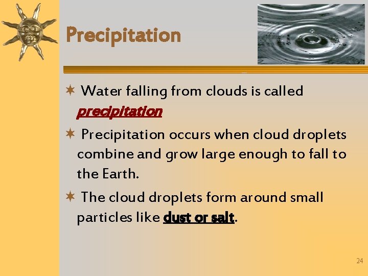
Precipitation Water falling from clouds is called precipitation Precipitation occurs when cloud droplets combine and grow large enough to fall to the Earth. The cloud droplets form around small particles like dust or salt. 24
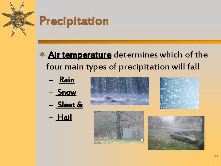
Precipitation Air temperature determines which of the four main types of precipitation will fall – – Rain Snow Sleet & Hail 25
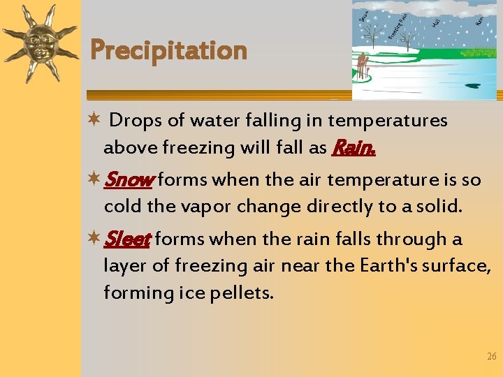
Precipitation Drops of water falling in temperatures above freezing will fall as Rain. Snow forms when the air temperature is so cold the vapor change directly to a solid. Sleet forms when the rain falls through a layer of freezing air near the Earth's surface, forming ice pellets. 26
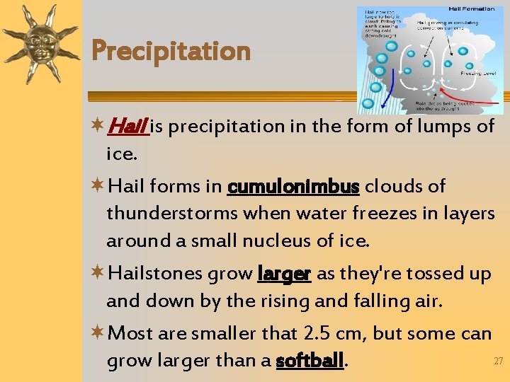
Precipitation Hail is precipitation in the form of lumps of ice. Hail forms in cumulonimbus clouds of thunderstorms when water freezes in layers around a small nucleus of ice. Hailstones grow larger as they're tossed up and down by the rising and falling air. Most are smaller that 2. 5 cm, but some can 27 grow larger than a softball.
Discussion Question What are the four main types of precipitation? – – Rain Snow Sleet & Hail 28
Weather Changes Because of the movement of air and moisture in the atmosphere, the weather constantly changes 29
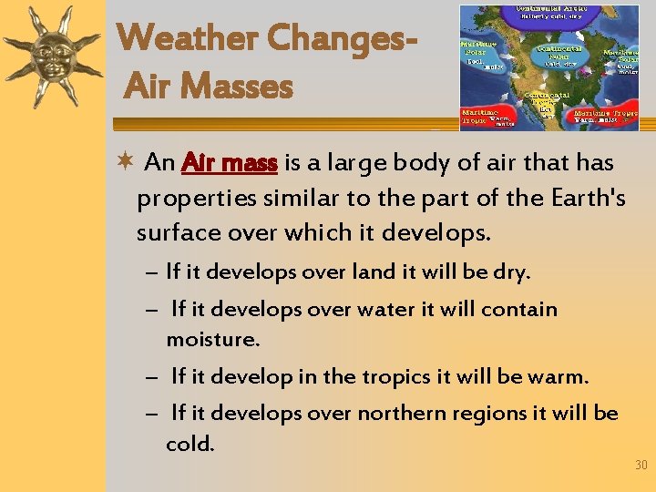
Weather Changes. Air Masses An Air mass is a large body of air that has properties similar to the part of the Earth's surface over which it develops. – If it develops over land it will be dry. – If it develops over water it will contain moisture. – If it develop in the tropics it will be warm. – If it develops over northern regions it will be cold. 30
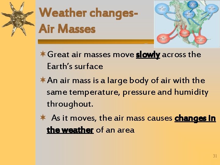
Weather changes. Air Masses Great air masses move slowly across the Earth’s surface An air mass is a large body of air with the same temperature, pressure and humidity throughout. As it moves, the air mass causes changes in the weather of an area 31
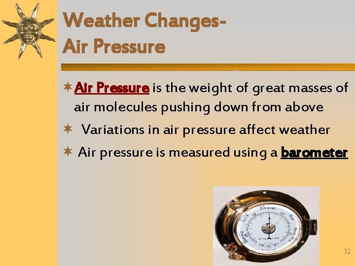
Weather Changes. Air Pressure is the weight of great masses of air molecules pushing down from above Variations in air pressure affect weather Air pressure is measured using a barometer 32
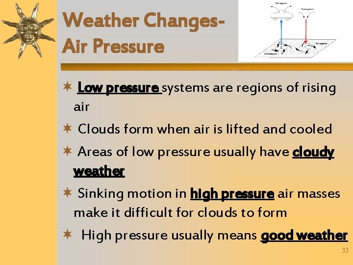
Weather Changes. Air Pressure Low pressure systems are regions of rising air Clouds form when air is lifted and cooled Areas of low pressure usually have cloudy weather Sinking motion in high pressure air masses make it difficult for clouds to form High pressure usually means good weather 33
Fronts A front is a line or boundary between air masses of different density, moisture, or temperature. The air masses clash along the front, so weather along a front is often stormy. 34
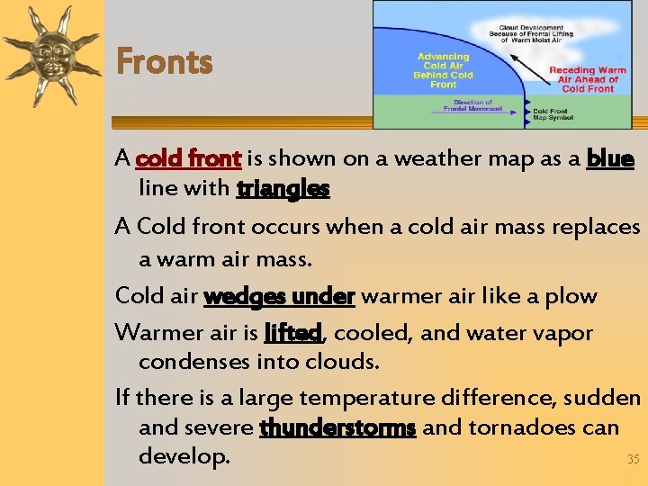
Fronts A cold front is shown on a weather map as a blue line with triangles A Cold front occurs when a cold air mass replaces a warm air mass. Cold air wedges under warmer air like a plow Warmer air is lifted, cooled, and water vapor condenses into clouds. If there is a large temperature difference, sudden and severe thunderstorms and tornadoes can 35 develop.
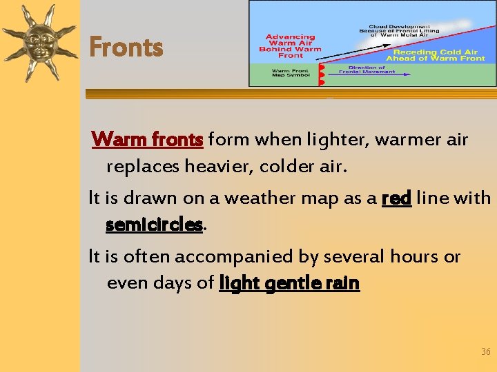
Fronts Warm fronts form when lighter, warmer air replaces heavier, colder air. It is drawn on a weather map as a red line with semicircles. It is often accompanied by several hours or even days of light gentle rain 36
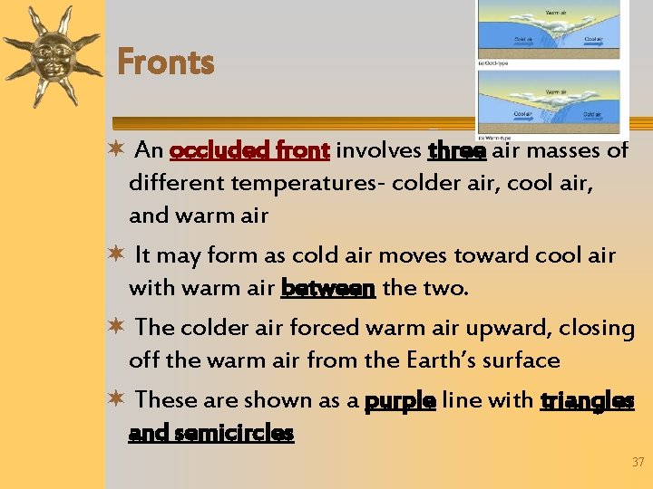
Fronts An occluded front involves three air masses of different temperatures- colder air, cool air, and warm air It may form as cold air moves toward cool air with warm air between the two. The colder air forced warm air upward, closing off the warm air from the Earth’s surface These are shown as a purple line with triangles and semicircles 37
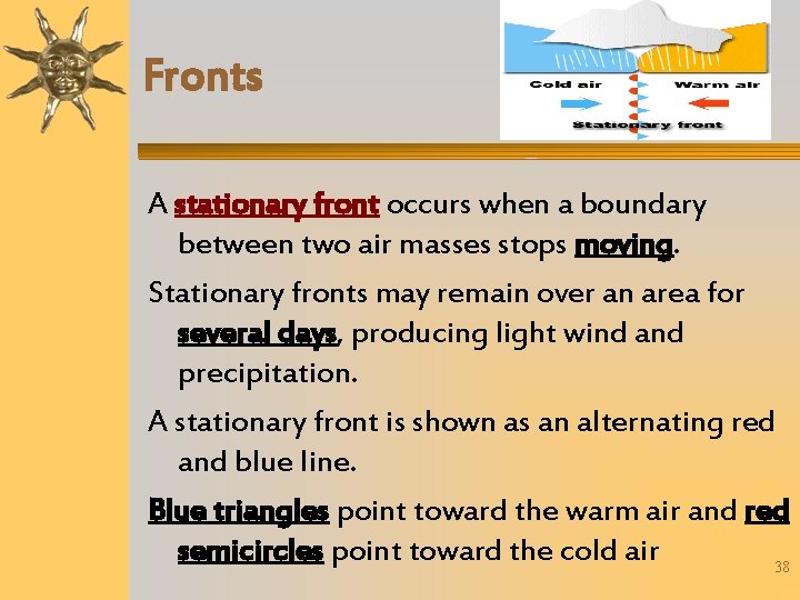
Fronts A stationary front occurs when a boundary between two air masses stops moving. Stationary fronts may remain over an area for several days, producing light wind and precipitation. A stationary front is shown as an alternating red and blue line. Blue triangles point toward the warm air and red semicircles point toward the cold air 38
Discussion Question What are the four types of fronts? – – Cold Front Warm Front Occluded Front Stationary Front 39
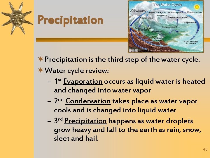
Precipitation is the third step of the water cycle. Water cycle review: – 1 st Evaporation occurs as liquid water is heated and changed into water vapor – 2 nd Condensation takes place as water vapor cools and is changed into liquid water – 3 rd Precipitation happens as water droplets grow heavy and fall to the earth as rain, snow, sleet and hail. 40
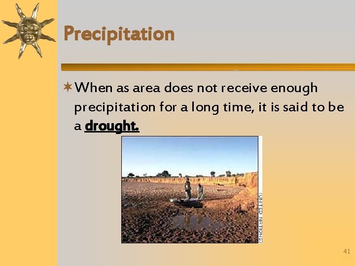
Precipitation When as area does not receive enough precipitation for a long time, it is said to be a drought. 41
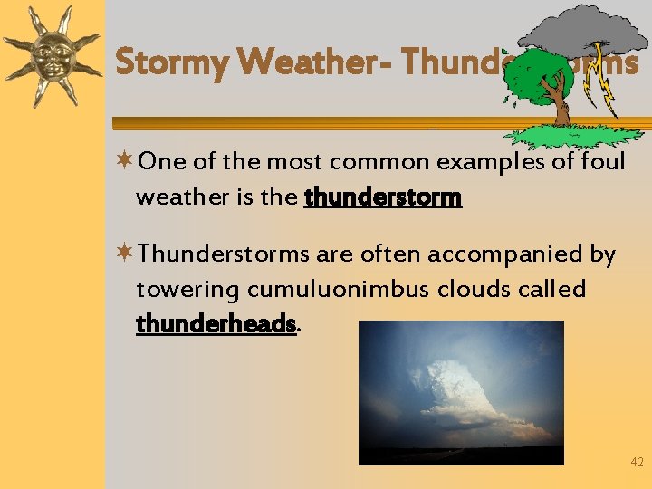
Stormy Weather- Thunderstorms One of the most common examples of foul weather is the thunderstorm Thunderstorms are often accompanied by towering cumuluonimbus clouds called thunderheads. 42
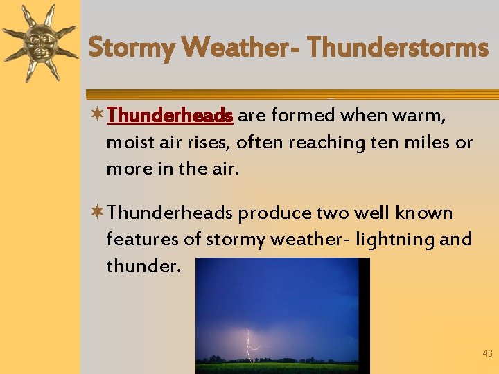
Stormy Weather- Thunderstorms Thunderheads are formed when warm, moist air rises, often reaching ten miles or more in the air. Thunderheads produce two well known features of stormy weather- lightning and thunder. 43
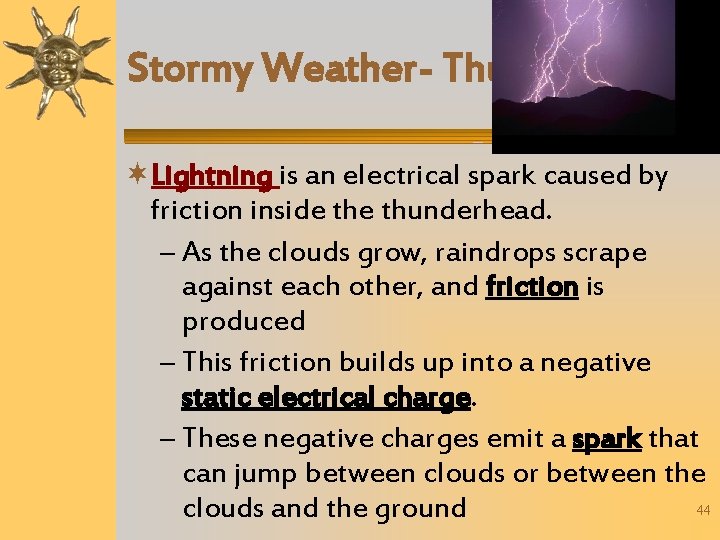
Stormy Weather- Thunderstorms Lightning is an electrical spark caused by friction inside thunderhead. – As the clouds grow, raindrops scrape against each other, and friction is produced – This friction builds up into a negative static electrical charge. – These negative charges emit a spark that can jump between clouds or between the 44 clouds and the ground
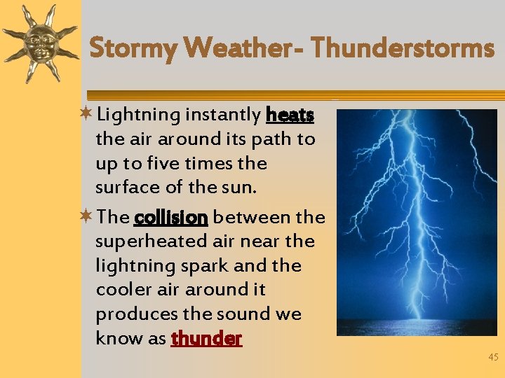
Stormy Weather- Thunderstorms Lightning instantly heats the air around its path to up to five times the surface of the sun. The collision between the superheated air near the lightning spark and the cooler air around it produces the sound we know as thunder 45
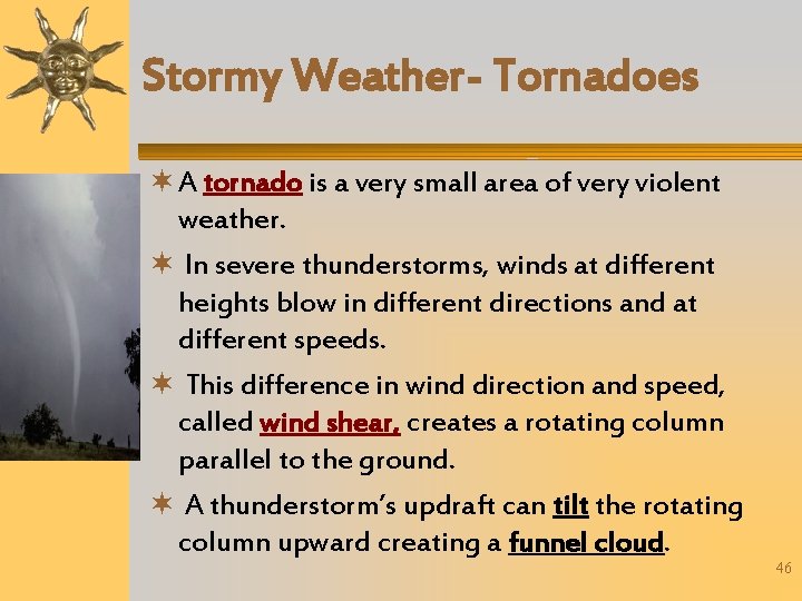
Stormy Weather- Tornadoes A tornado is a very small area of very violent weather. In severe thunderstorms, winds at different heights blow in different directions and at different speeds. This difference in wind direction and speed, called wind shear, creates a rotating column parallel to the ground. A thunderstorm’s updraft can tilt the rotating column upward creating a funnel cloud. 46
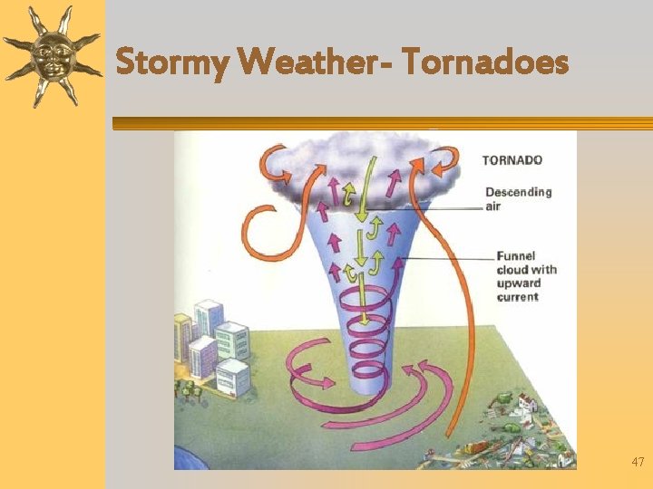
Stormy Weather- Tornadoes 47
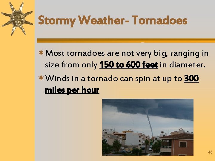
Stormy Weather- Tornadoes Most tornadoes are not very big, ranging in size from only 150 to 600 feet in diameter. Winds in a tornado can spin at up to 300 miles per hour 48
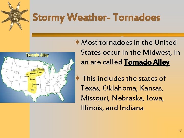
Stormy Weather- Tornadoes Most tornadoes in the United States occur in the Midwest, in an are called Tornado Alley This includes the states of Texas, Oklahoma, Kansas, Missouri, Nebraska, Iowa, Illinois, and Indiana 49
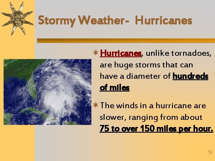
Stormy Weather- Hurricanes, unlike tornadoes, are huge storms that can have a diameter of hundreds of miles The winds in a hurricane are slower, ranging from about 75 to over 150 miles per hour. 50
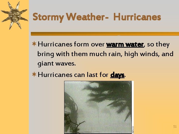
Stormy Weather- Hurricanes form over warm water, so they bring with them much rain, high winds, and giant waves. Hurricanes can last for days. 51
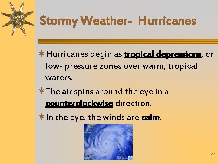
Stormy Weather- Hurricanes begin as tropical depressions, or low- pressure zones over warm, tropical waters. The air spins around the eye in a counterclockwise direction. In the eye, the winds are calm. 52
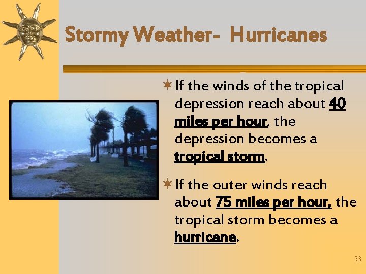
Stormy Weather- Hurricanes If the winds of the tropical depression reach about 40 miles per hour, the depression becomes a tropical storm. If the outer winds reach about 75 miles per hour, the tropical storm becomes a hurricane. 53
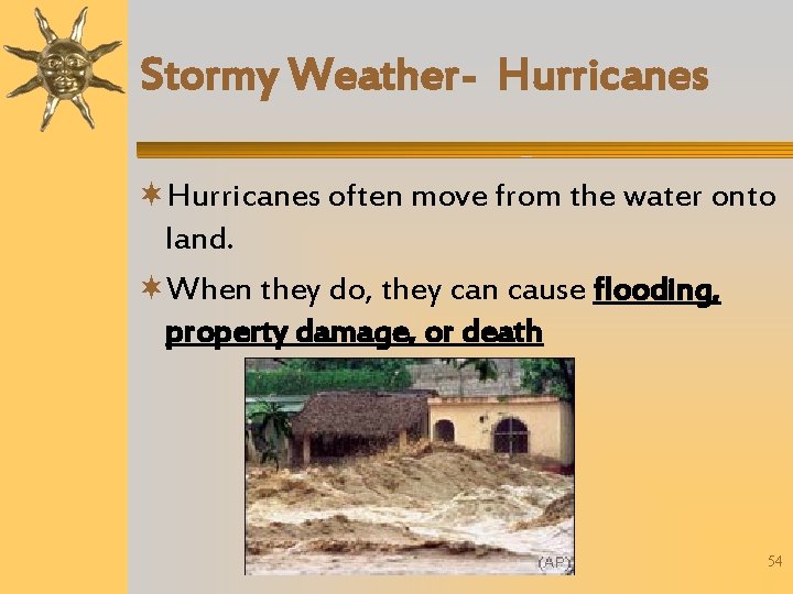
Stormy Weather- Hurricanes often move from the water onto land. When they do, they can cause flooding, property damage, or death 54
Discussion Question Compare diameter and wind speed of tornadoes and hurricanes. – Tornadoes range in size from only 150 to 600 feet, but can reach speeds up to 300 mph – Hurricanes can reach hundreds of miles across, but reach speeds of 75 to 150 mph 55
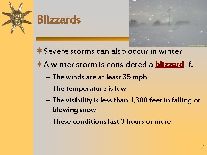
Blizzards Severe storms can also occur in winter. A winter storm is considered a blizzard if: – The winds are at least 35 mph – The temperature is low – The visibility is less than 1, 300 feet in falling or blowing snow – These conditions last 3 hours or more. 56
Severe Weather Safety Severe weather watches are issued when conditions are favorable for severe thunderstorms, tornadoes, floods, blizzards and hurricanes During a watch stay tuned to a radio or TV station reporting the weather 57
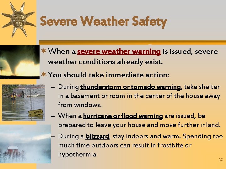
Severe Weather Safety When a severe weather warning is issued, severe weather conditions already exist. You should take immediate action: – During thunderstorm or tornado warning, take shelter in a basement or room in the center of the house away from windows. – When a hurricane or flood warning are issued, be prepared to leave your house and move further inland. – During a blizzard, stay indoors and warm. Spending too much time outdoors can result in frostbite or hypothermia 58
Discussion Question What is the difference between a severe weather watch and a warning? – During a watch, conditions are favorable for a severe weather event – During a warning, the severe weather event already exists 59
Weather Forecasting The Sun, water, and air all work together to produce weather. People who study these factors and predict the weather are called meteorologists. 60
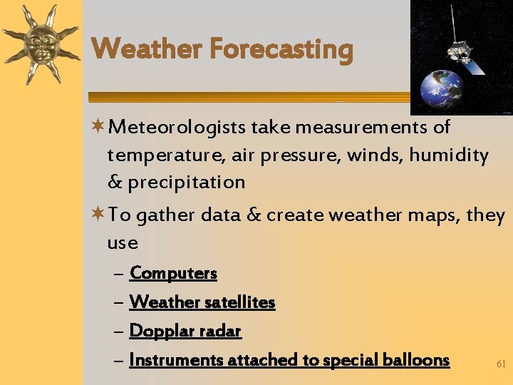
Weather Forecasting Meteorologists take measurements of temperature, air pressure, winds, humidity & precipitation To gather data & create weather maps, they use – – Computers Weather satellites Dopplar radar Instruments attached to special balloons 61
Weather Forecasting Meterologists cannot always predict the weather accurately because conditions can change rapidly The National Weather Service depends on two sources for its information – Data collected from the upper atmosphere – And data collected from Earth's surface 62
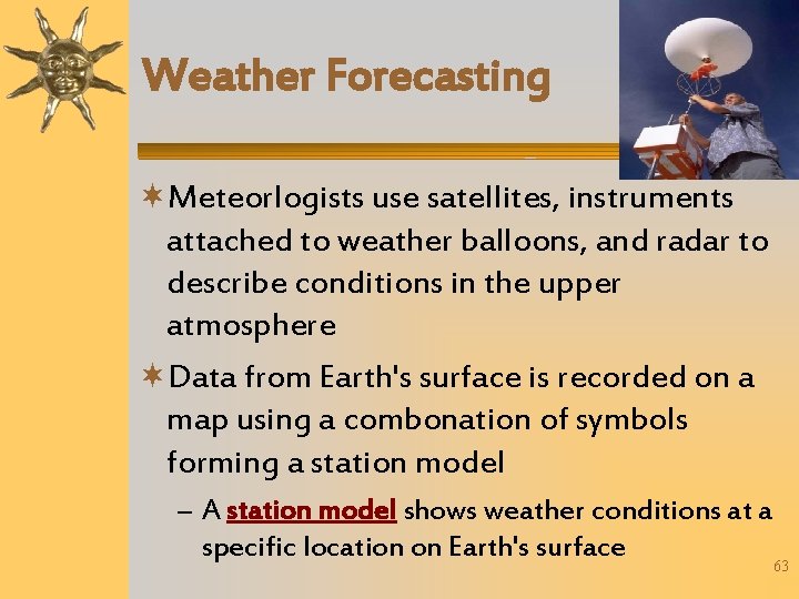
Weather Forecasting Meteorlogists use satellites, instruments attached to weather balloons, and radar to describe conditions in the upper atmosphere Data from Earth's surface is recorded on a map using a combonation of symbols forming a station model – A station model shows weather conditions at a specific location on Earth's surface 63
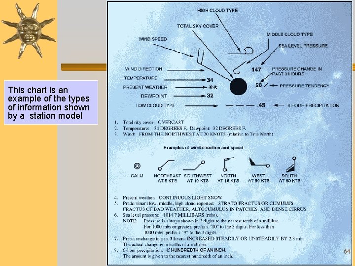
This chart is an example of the types of information shown by a station model 64
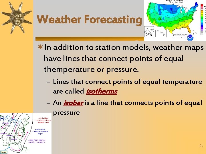
Weather Forecasting In addition to station models, weather maps have lines that connect points of equal themperature or pressure. – Lines that connect points of equal temperature are called isotherms – An isobar is a line that connects points of equal pressure 65
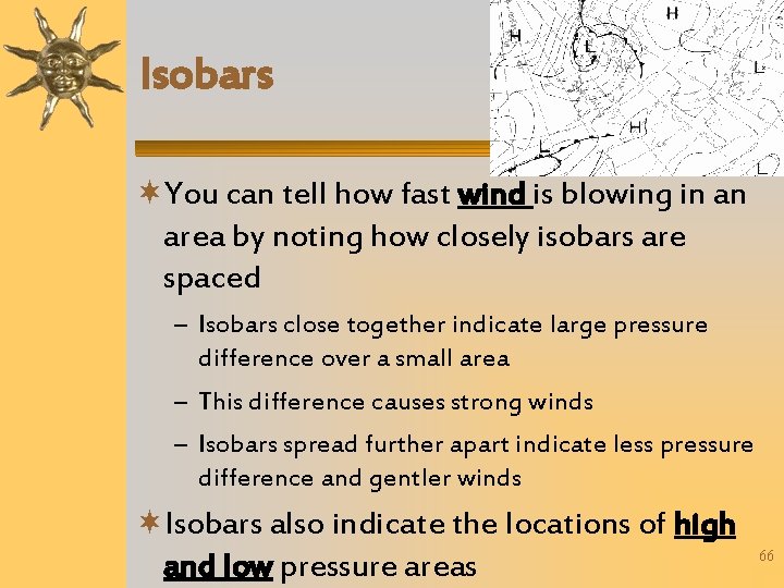
Isobars You can tell how fast wind is blowing in an area by noting how closely isobars are spaced – Isobars close together indicate large pressure difference over a small area – This difference causes strong winds – Isobars spread further apart indicate less pressure difference and gentler winds Isobars also indicate the locations of high and low pressure areas 66
Discussion Question How do isobars indicate wind speed? – Isobars close together indicate large pressure difference over a small area which creates strong winds – Isobars spread further apart indicate less pressure difference and gentler winds 67
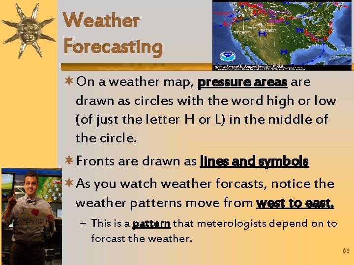
Weather Forecasting On a weather map, pressure areas are drawn as circles with the word high or low (of just the letter H or L) in the middle of the circle. Fronts are drawn as lines and symbols As you watch weather forcasts, notice the weather patterns move from west to east. – This is a pattern that meterologists depend on to forcast the weather. 68
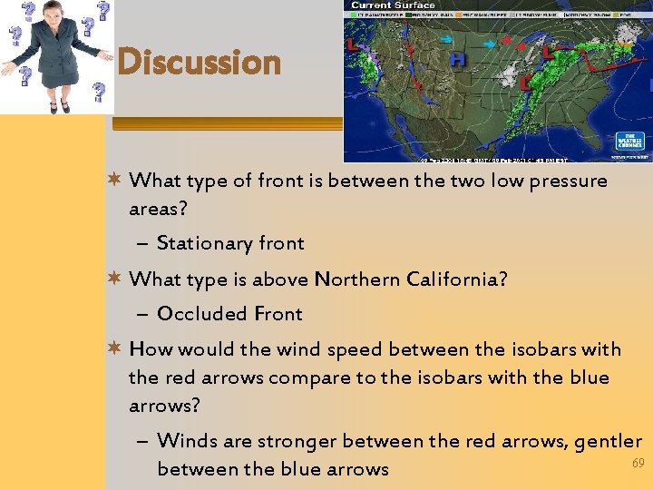
Discussion What type of front is between the two low pressure areas? – Stationary front What type is above Northern California? – Occluded Front How would the wind speed between the isobars with the red arrows compare to the isobars with the blue arrows? – Winds are stronger between the red arrows, gentler 69 between the blue arrows
- Slides: 69