
Weather Briefings Wisconsin Balloon Group March 11 2006
Weather Briefings Wisconsin Balloon Group March 11, 2006 Brad Temeyer Brad. Temeyer@noaa. gov
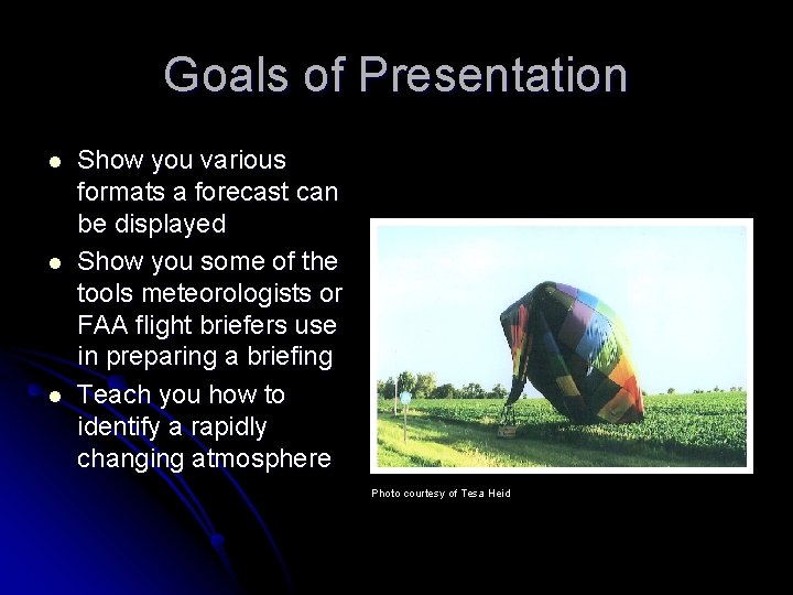
Goals of Presentation l l l Show you various formats a forecast can be displayed Show you some of the tools meteorologists or FAA flight briefers use in preparing a briefing Teach you how to identify a rapidly changing atmosphere Photo courtesy of Tesa Heid
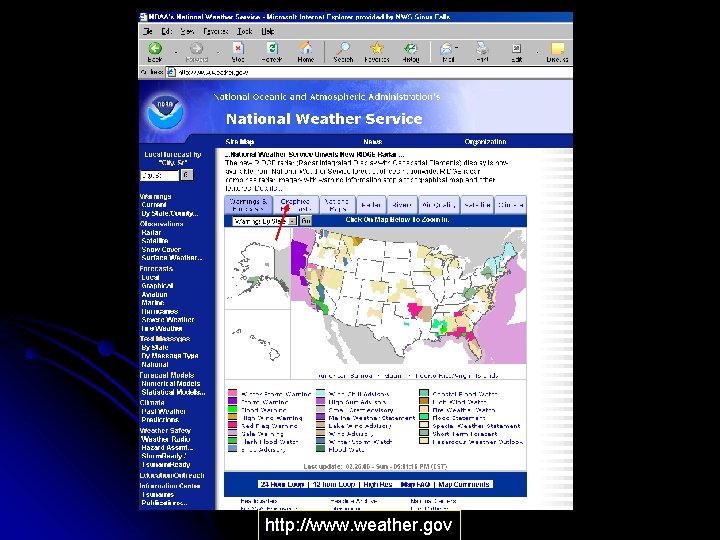
http: //www. weather. gov
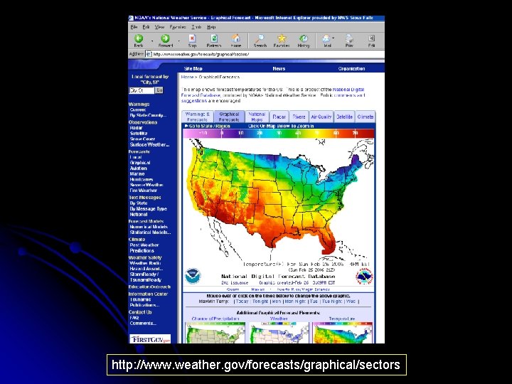
http: //www. weather. gov/forecasts/graphical/sectors
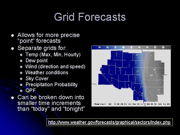
Grid Forecasts l l Allows for more precise “point” forecasts Separate grids for: l l l l Temp (Max, Min, Hourly) Dew point Wind (direction and speed) Weather conditions Sky Cover Precipitation Probability QPF Can be broken down into smaller time increments than “today” and “tonight” http: //www. weather. gov/forecasts/graphical/sectors/index. php
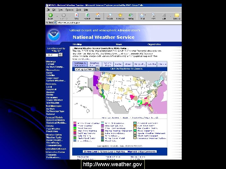
http: //www. weather. gov
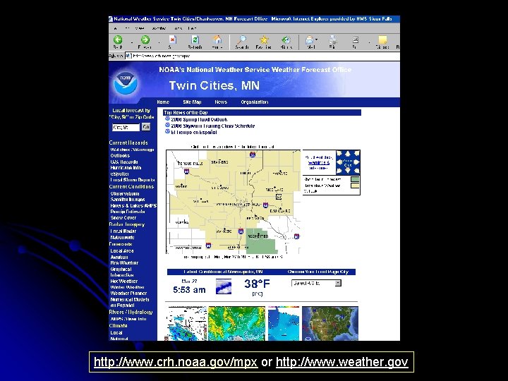
http: //www. crh. noaa. gov/mpx or http: //www. weather. gov
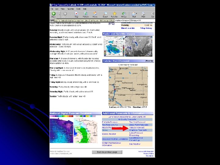
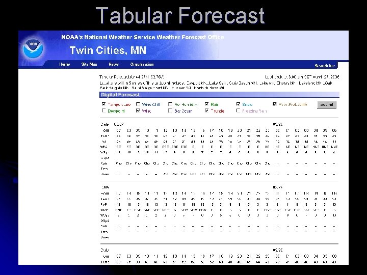
Tabular Forecast
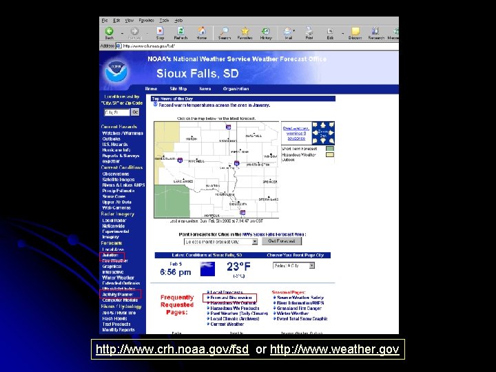
http: //www. crh. noaa. gov/fsd or http: //www. weather. gov
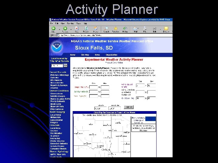
Activity Planner
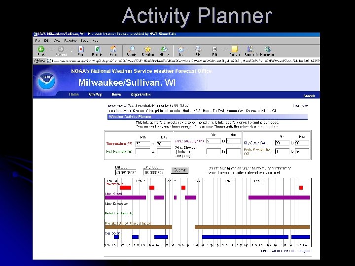
Activity Planner
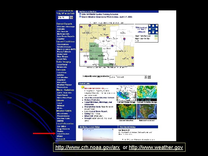
http: //www. crh. noaa. gov/arx or http: //www. weather. gov
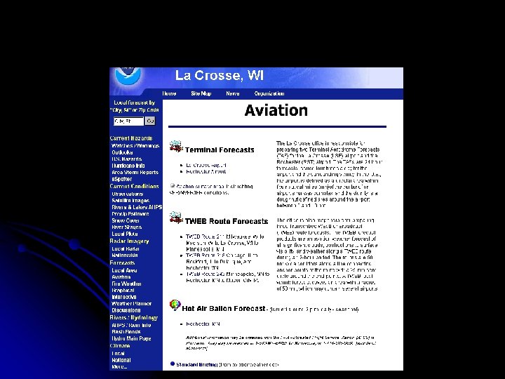
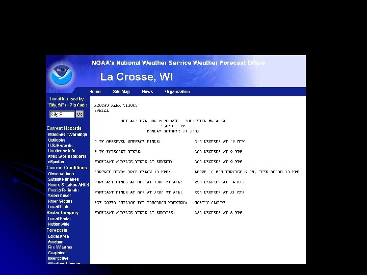
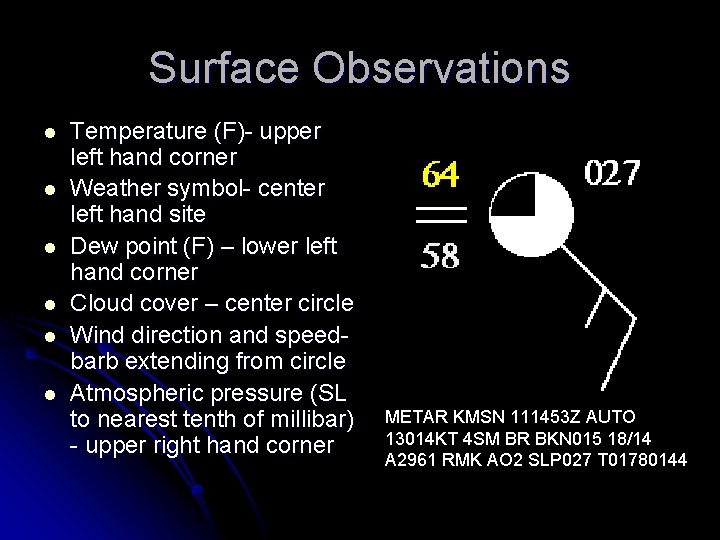
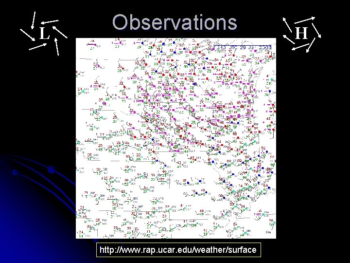
Surface Observations l l l Temperature (F)- upper left hand corner Weather symbol- center left hand site Dew point (F) – lower left hand corner Cloud cover – center circle Wind direction and speedbarb extending from circle Atmospheric pressure (SL to nearest tenth of millibar) - upper right hand corner METAR KMSN 111453 Z AUTO 13014 KT 4 SM BR BKN 015 18/14 A 2961 RMK AO 2 SLP 027 T 01780144
L Observations http: //www. rap. ucar. edu/weather/surface H
Satellites and Radar
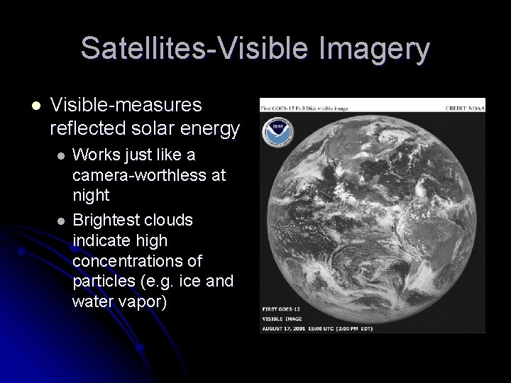
Satellites-Visible Imagery l Visible-measures reflected solar energy l l Works just like a camera-worthless at night Brightest clouds indicate high concentrations of particles (e. g. ice and water vapor)
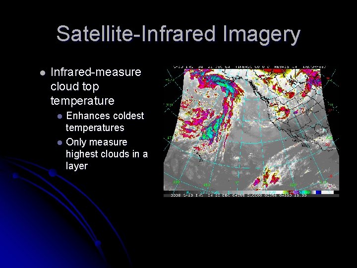
Satellite-Infrared Imagery l Infrared-measure cloud top temperature Enhances coldest temperatures l Only measure highest clouds in a layer l
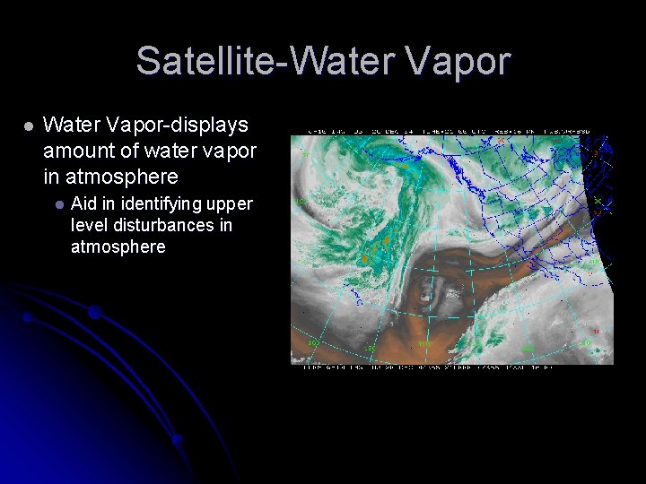
Satellite-Water Vapor l Water Vapor-displays amount of water vapor in atmosphere l Aid in identifying upper level disturbances in atmosphere
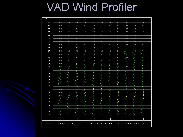
VAD Wind Profiler
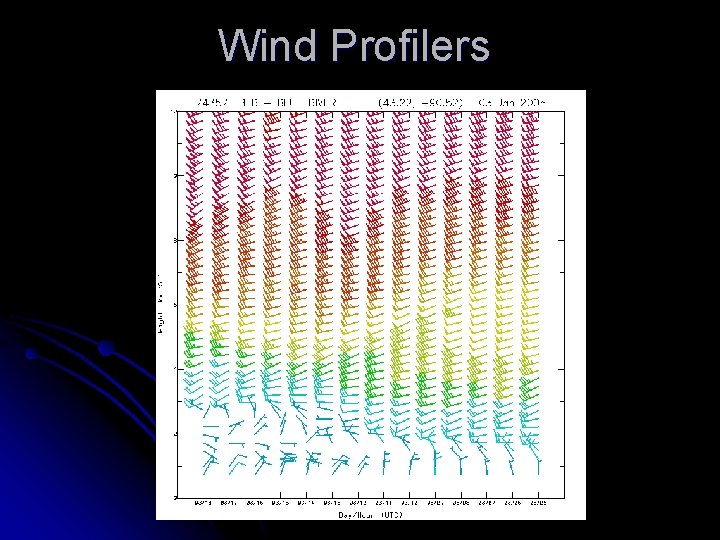
Wind Profilers
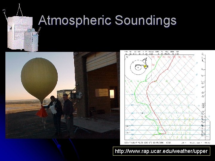
Atmospheric Soundings http: //www. rap. ucar. edu/weather/upper
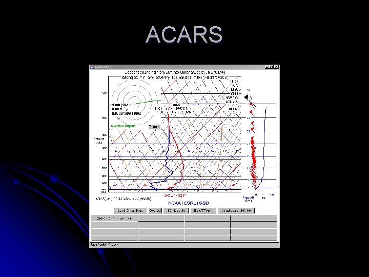
ACARS
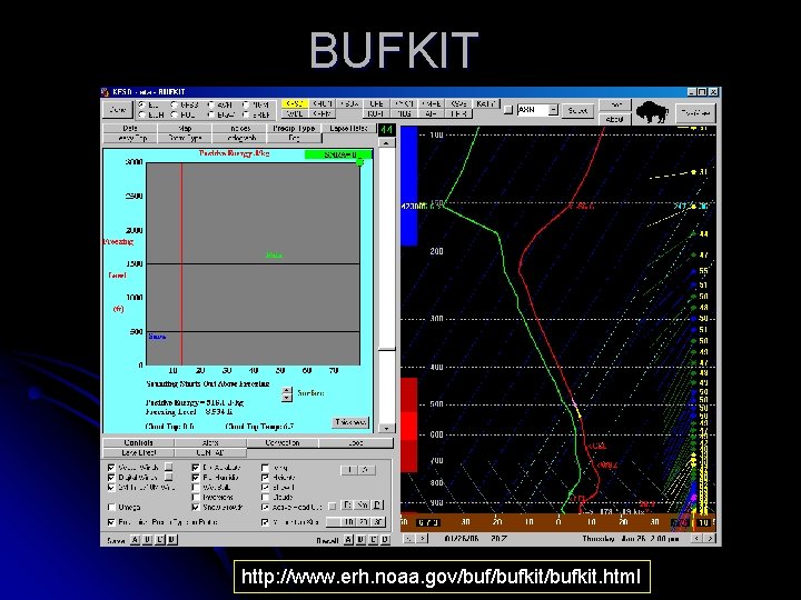
BUFKIT http: //www. erh. noaa. gov/bufkit/bufkit. html
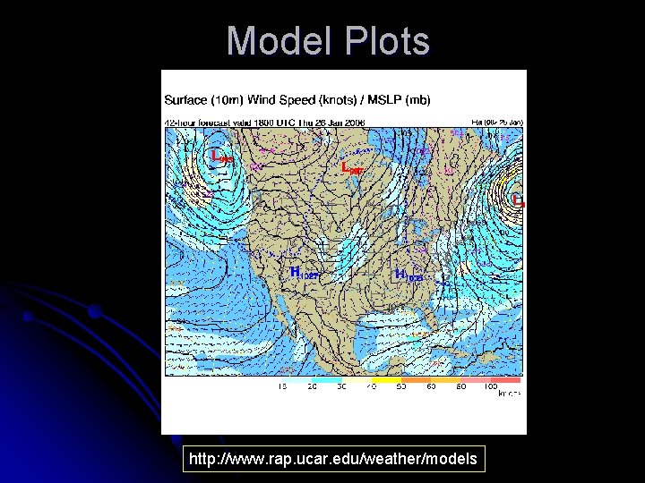
Model Plots http: //www. rap. ucar. edu/weather/models
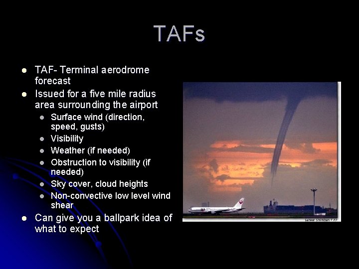
TAFs l l TAF- Terminal aerodrome forecast Issued for a five mile radius area surrounding the airport l l l l Surface wind (direction, speed, gusts) Visibility Weather (if needed) Obstruction to visibility (if needed) Sky cover, cloud heights Non-convective low level wind shear Can give you a ballpark idea of what to expect
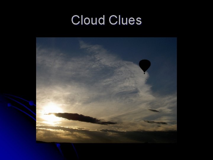
Cloud Clues
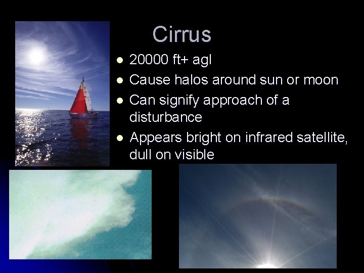
Cirrus l l 20000 ft+ agl Cause halos around sun or moon Can signify approach of a disturbance Appears bright on infrared satellite, dull on visible
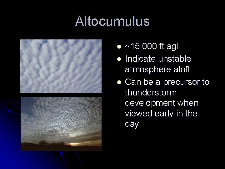
Altocumulus l l l ~15, 000 ft agl Indicate unstable atmosphere aloft Can be a precursor to thunderstorm development when viewed early in the day
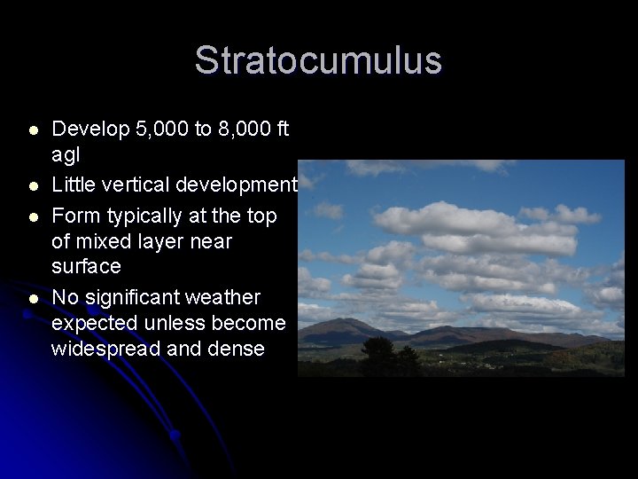
Stratocumulus l l Develop 5, 000 to 8, 000 ft agl Little vertical development Form typically at the top of mixed layer near surface No significant weather expected unless become widespread and dense
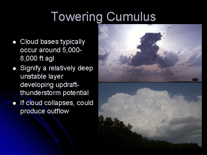
Towering Cumulus l l l Cloud bases typically occur around 5, 0008, 000 ft agl Signify a relatively deep unstable layer developing updraftthunderstorm potential If cloud collapses, could produce outflow
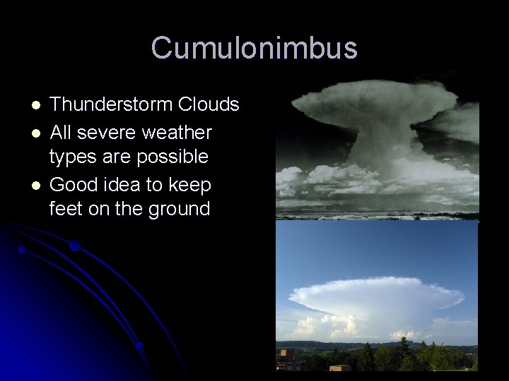
Cumulonimbus l l l Thunderstorm Clouds All severe weather types are possible Good idea to keep feet on the ground
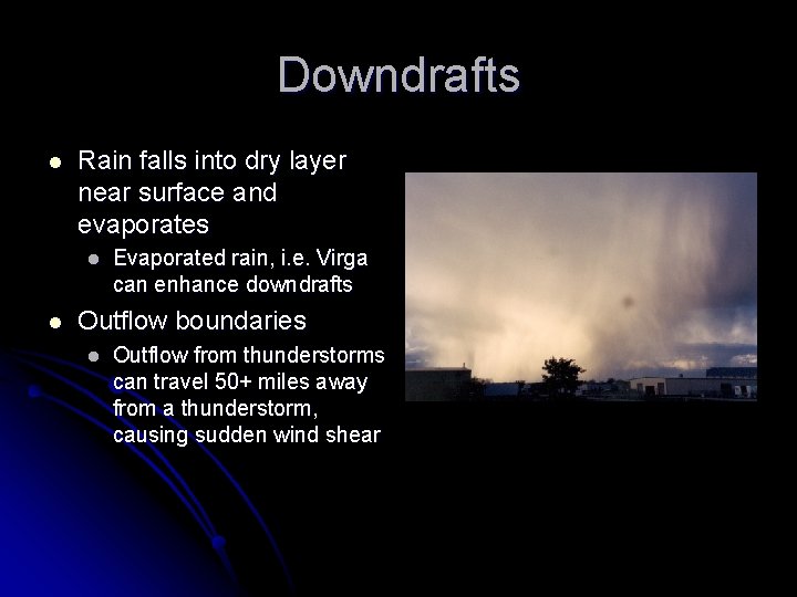
Downdrafts l Rain falls into dry layer near surface and evaporates l l Evaporated rain, i. e. Virga can enhance downdrafts Outflow boundaries l Outflow from thunderstorms can travel 50+ miles away from a thunderstorm, causing sudden wind shear
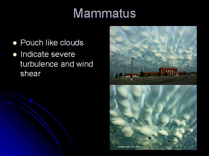
Mammatus l l Pouch like clouds Indicate severe turbulence and wind shear
Thanks for inviting me! Questions?
- Slides: 37