Weather a specialist service Mountain Weather Information Service
- Slides: 6

Weather - a specialist service Mountain Weather Information Service www. mwis. org. uk App is Mountain Forecast Viewer

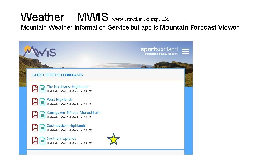
Weather – MWIS www. mwis. org. uk Mountain Weather Information Service but app is Mountain Forecast Viewer

Weather – MWIS www. mwis. org. uk

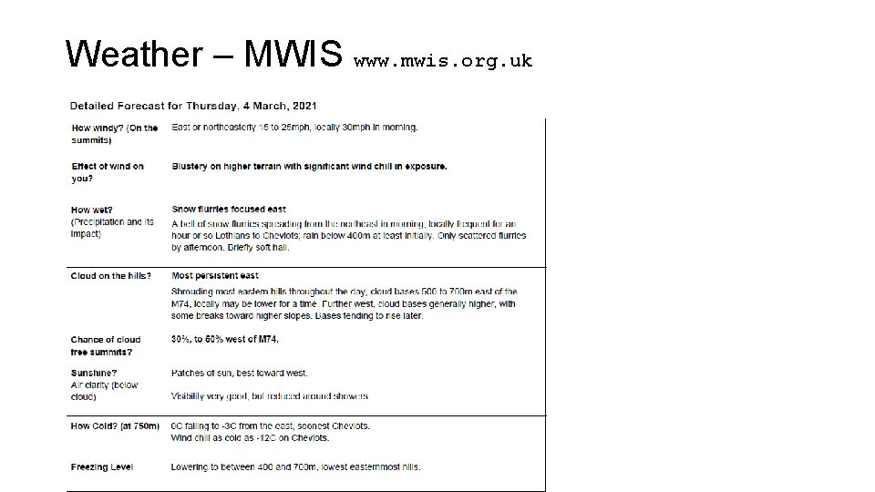
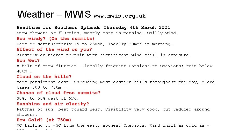
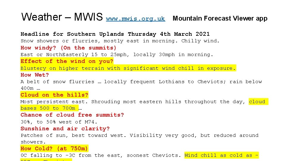
Weather – MWIS www. mwis. org. uk Headline for Southern Uplands Thursday 4 th March 2021 Snow showers or flurries, mostly east in morning. Chilly wind. How windy? (On the summits) East or North. Easterly 15 to 25 mph, locally 30 mph in morning. Effect of the wind on you? Blustery on higher terrain with significant wind chill in exposure. How Wet? A belt of snow flurries … locally frequent Lothians to Cheviots; rain below 400 m … Cloud on the hills? Most persistent east. Shrouding most eastern hills throughout the day, cloud bases 500 to 700 m … Chance of cloud free summits? 30%, to 50% west of M 74. Sunshine and air clarity? Patches of sun, best toward west. Visibility very good, but reduced around showers. How Cold? (at 750 m) 0 C falling to -3 C from the east, soonest Cheviots. Wind chill as cold as -

Weather – MWIS www. mwis. org. uk Mountain Forecast Viewer app Headline for Southern Uplands Thursday 4 th March 2021 Snow showers or flurries, mostly east in morning. Chilly wind. How windy? (On the summits) East or North. Easterly 15 to 25 mph, locally 30 mph in morning. Effect of the wind on you? Blustery on higher terrain with significant wind chill in exposure. How Wet? A belt of snow flurries … locally frequent Lothians to Cheviots; rain below 400 m … Cloud on the hills? Most persistent east. Shrouding most eastern hills throughout the day, cloud bases 500 to 700 m … Chance of cloud free summits? 30%, to 50% west of M 74. Sunshine and air clarity? Patches of sun, best toward west. Visibility very good, but reduced around showers. How Cold? (at 750 m) 0 C falling to -3 C from the east, soonest Cheviots. Wind chill as cold as -

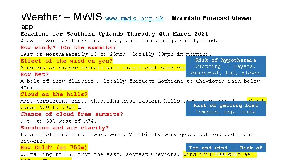
Weather – MWIS www. mwis. org. uk Mountain Forecast Viewer app Headline for Southern Uplands Thursday 4 th March 2021 Snow showers or flurries, mostly east in morning. Chilly wind. How windy? (On the summits) East or North. Easterly 15 to 25 mph, locally 30 mph in morning. Risk of hypothermia Effect of the wind on you? - layers, Blustery on higher terrain with significant wind chill Clothing in exposure. windproof, hat, gloves How Wet? A belt of snow flurries … locally frequent Lothians to Cheviots; … rain below 400 m … Cloud on the hills? Most persistent east. Shrouding most eastern hills throughout the day, cloud Risk of getting lost bases 500 to 700 m … Compass, map, route Chance of cloud free summits? card … 30%, to 50% west of M 74. Sunshine and air clarity? Patches of sun, best toward west. Visibility very good, but reduced around showers. Ice and wind - Risk of How Cold? (at 750 m) 0 C falling to -3 C from the east, soonest Cheviots. Wind chillfalling as cold as -