Ways to Show the Earth Part 3 A


 Mercator Projection – Type of projection used on")


- Slides: 17
Ways to Show the Earth – Part 3
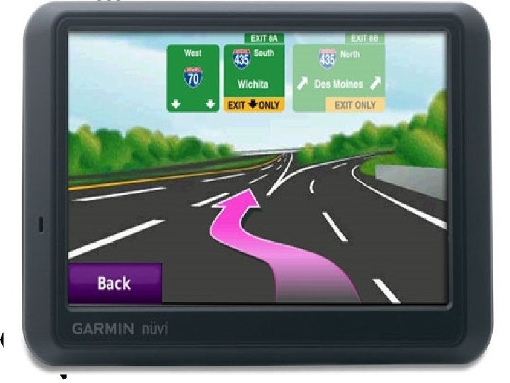
A. Explore Your World • Cartographer – Mapmaker • Able to make very accurate maps of the earth’s surface • Geographic Information System – Use satellites to pinpoint one’s exact location – Also called GPS
B. Differences of Maps and Globes • Globe – Most accurate model of the earth shown in three dimensions • Globe’s roundness makes it more accurate than a map • Maps – Show the world in two dimensions and are less accurate than globes
Question Time • Why would somebody use a globe? • Why would somebody use a map? • What is a better source of information, a globe or a map?
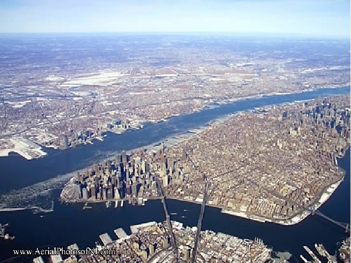
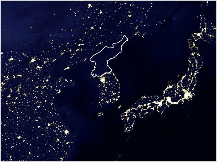
C. Photographs • Aerial Photographs – Photos of the Earth taken from the air • Satellite Images – Photos of the earth taken from space
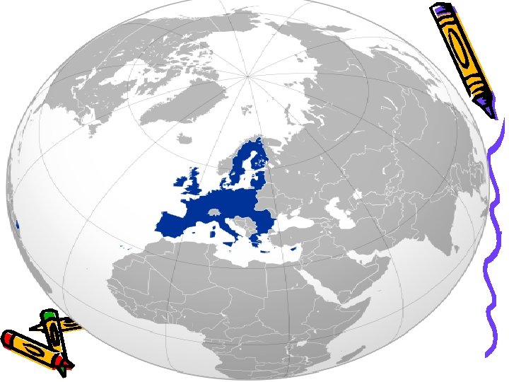
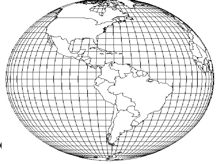
D. Map Projections • Map Projections – Earth’s curved surface shown on a flat surface • Dozens of projections • All projections distort the earth in some ways • Make some places look bigger or smaller than they really are
E. Types of Projections • 1) Mercator Projection – Type of projection used on maps for over 400 years • Makes the land at the top and bottom of the maps appear larger than they really are • 2) Robinson Projection – Projection used today that gives a more accurate picture of the world
Mercator Projection
Robinson Projection