
Water Erosion Ch 13 Modern Earth Science p
- Slides: 24
Water & Erosion Ch. 13 Modern Earth Science p. 242 - 255
Section 13. 1 – The Water Cycle – Origin of the Earth’s water supply has puzzled individuals for centuries – Initially it was believed that rivers like the Nile and Danube could be supplied by rain alone, but with new technology scientists can accurately measure the amount of water received by the Earth and the amount being carried in the rivers • Discovered that the Earth receives 5 times more water than is being carried in the rivers
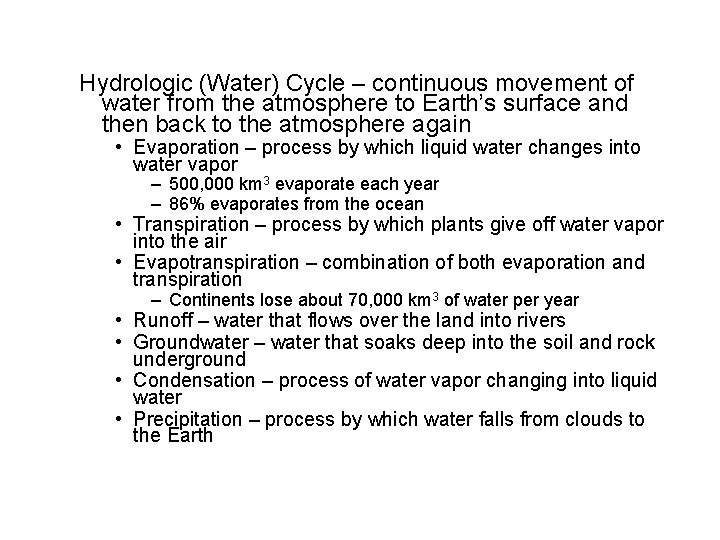
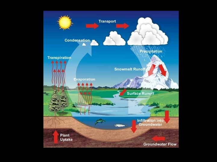
Hydrologic (Water) Cycle – continuous movement of water from the atmosphere to Earth’s surface and then back to the atmosphere again • Evaporation – process by which liquid water changes into water vapor – 500, 000 km 3 evaporate each year – 86% evaporates from the ocean • Transpiration – process by which plants give off water vapor into the air • Evapotranspiration – combination of both evaporation and transpiration – Continents lose about 70, 000 km 3 of water per year • Runoff – water that flows over the land into rivers • Groundwater – water that soaks deep into the soil and rock underground • Condensation – process of water vapor changing into liquid water • Precipitation – process by which water falls from clouds to the Earth
• Water Budget – result of continuous cycling of water through the processes of evaporation, condensation and precipitation – Overall the water budget of the planet is balanced – Local water budget of a particular area is usually not balanced – Local water budgets can be seasonal
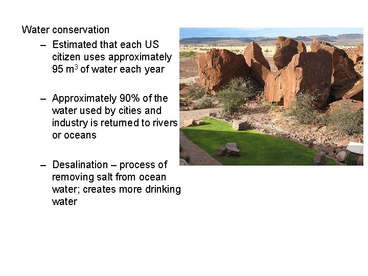
Water conservation – Estimated that each US citizen uses approximately 95 m 3 of water each year – Approximately 90% of the water used by cities and industry is returned to rivers or oceans – Desalination – process of removing salt from ocean water; creates more drinking water
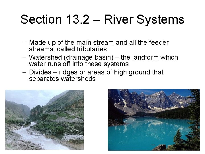
Section 13. 2 – River Systems – Made up of the main stream and all the feeder streams, called tributaries – Watershed (drainage basin) – the landform which water runs off into these systems – Divides – ridges or areas of high ground that separates watersheds
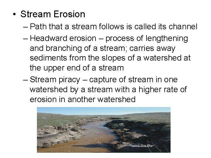
• Stream Erosion – Path that a stream follows is called its channel – Headward erosion – process of lengthening and branching of a stream; carries away sediments from the slopes of a watershed at the upper end of a stream – Stream piracy – capture of stream in one watershed by a stream with a higher rate of erosion in another watershed
• Stream Load – Materials carried by a stream is called the stream load, includes particles such as soil, loose rock fragments and dissolved minerals • Stream load has three forms – Suspended load – consists of fine sand silt particles that are suspended in the water due to its velocity – Bed Load – composed of larger materials, coarse sand gravel, moves by rolling, sliding or saltation (short jumps) – Dissolved Load – mineral matter transported in liquid solution
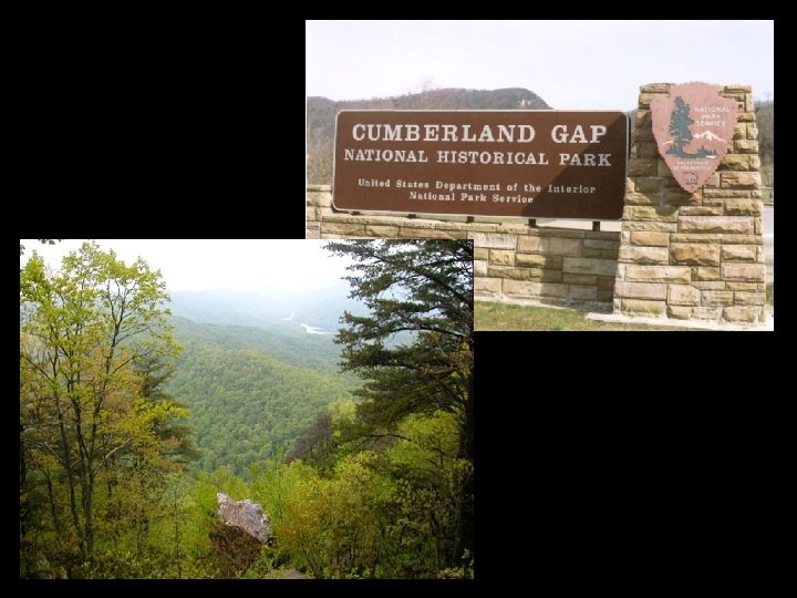
• Discharge & Gradient – Discharge – volume of water moved at a given time; the faster a stream flows the higher the discharge – Gradient – steepness of the slope; higher gradient means a larger discharge • Gradient is steep near the headwaters of a stream • Water & Wind Gaps – Water gap – when land is uplifted and streams are eroded downwards a water gap is formed – Wind gap – when land is uplifted faster than a stream can erode it water evacuates its previous channel to create a wind gap
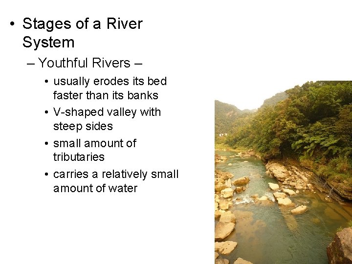
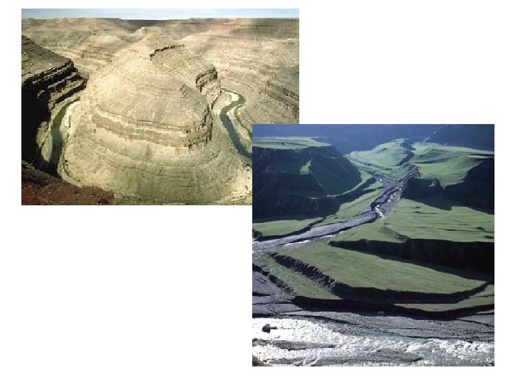
• Stages of a River System – Youthful Rivers – • usually erodes its bed faster than its banks • V-shaped valley with steep sides • small amount of tributaries • carries a relatively small amount of water
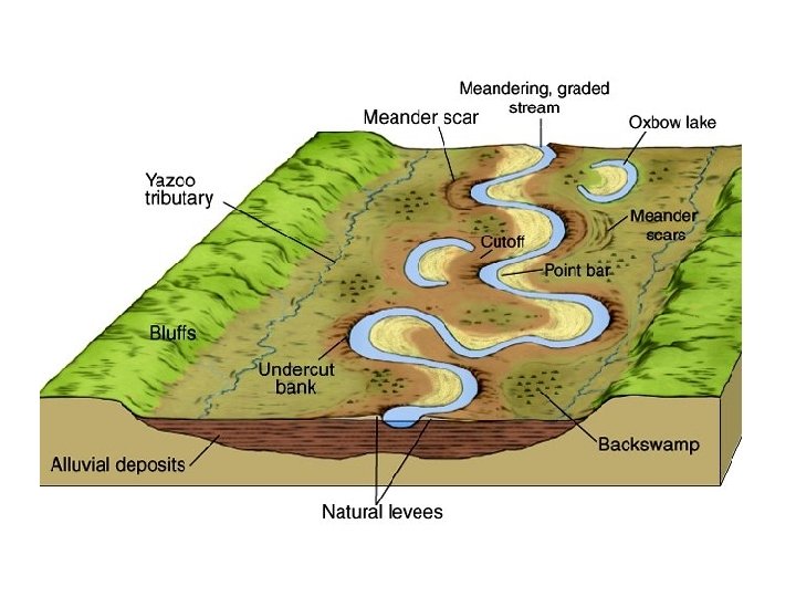
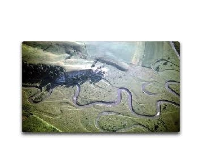
– Mature Rivers • well established tributaries • carries a larger volume of water • doesn’t deepen its bed, but erosion occurs along valley walls • low gradient tends to curve back and forth across a flat valley floor • meanders form across the valley floor when the stream channel is shifted to towards the outside bank • oxbow lake – lake formed when a meander becomes so curved that it almost forms a loop
– Old Rivers – • • • low gradient slower than a mature river doesn’t erode the land more meanders develop few tributaries – Rejuvenated Rivers – • gradient has increased due to a lifting of the land • results in the formation of steplike terraces along both sides of the river valley
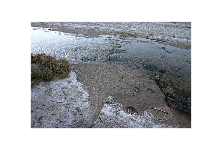
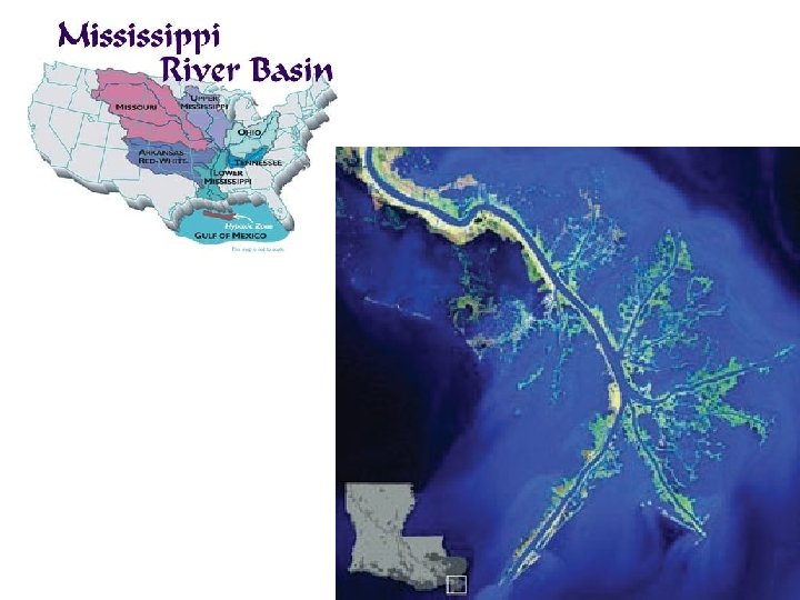
Section 13. 3 – Stream deposition – the total load of a stream is greatest when a large volume of water is moving swiftly – as the velocity is reduced the ability of the stream to carry sediments is lessened – Deltas and Alluvial Fans • delta – fan shaped deposit at the mouth of a stream; tip of the fan is facing upstream • alluvial fan – load is deposited on land with the tip of the mound facing upstream
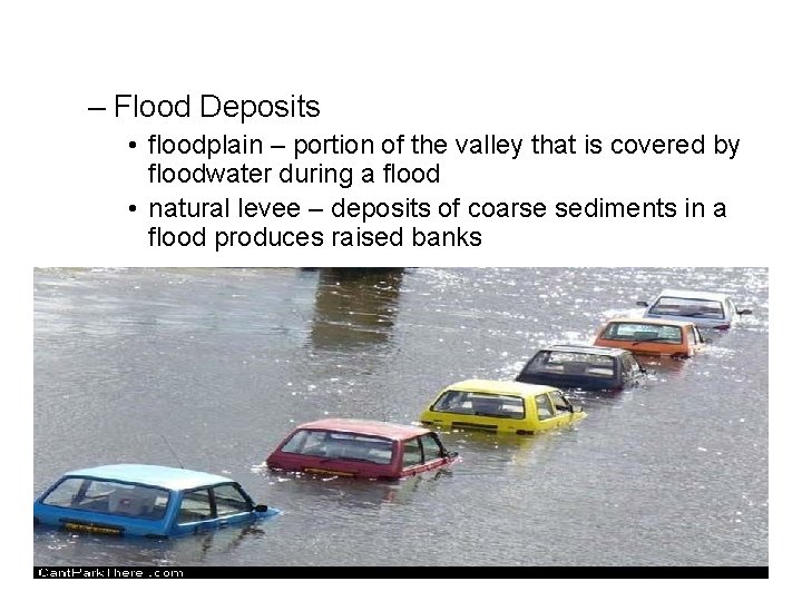
– Flood Deposits • floodplain – portion of the valley that is covered by floodwater during a flood • natural levee – deposits of coarse sediments in a flood produces raised banks
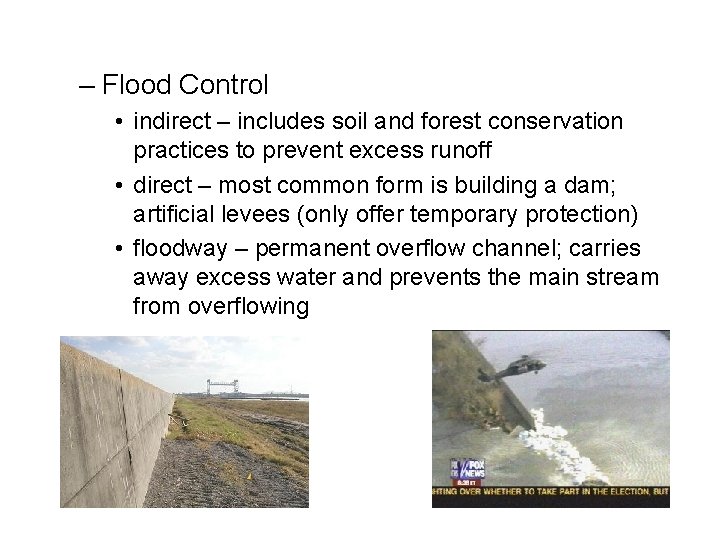
– Flood Control • indirect – includes soil and forest conservation practices to prevent excess runoff • direct – most common form is building a dam; artificial levees (only offer temporary protection) • floodway – permanent overflow channel; carries away excess water and prevents the main stream from overflowing