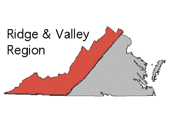
Virginias Physiographic Provinces Valley and Ridge Coastal Plain


- Slides: 42
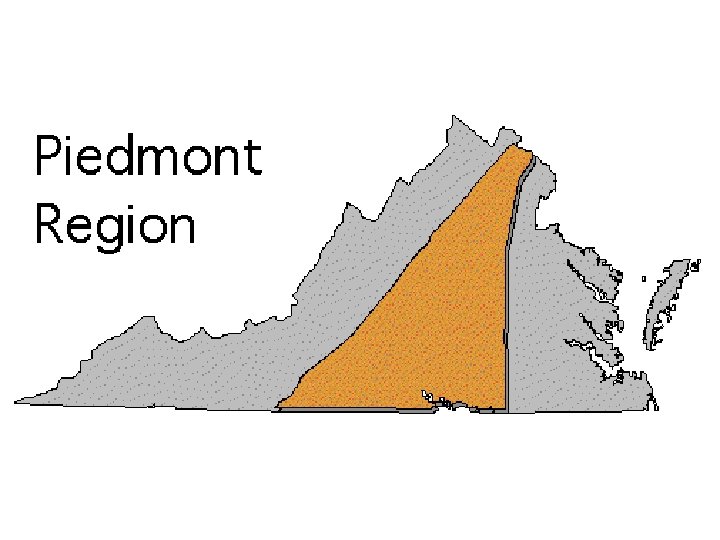
Virginia’s Physiographic Provinces Valley and Ridge Coastal Plain Appalachian Plateau Piedmont Blue Ridge
Coastal Plain Fall Line Piedmont Coastal Plain
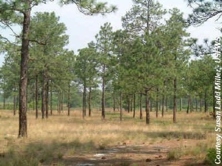
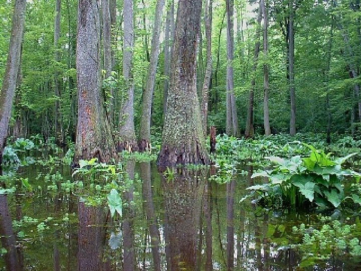
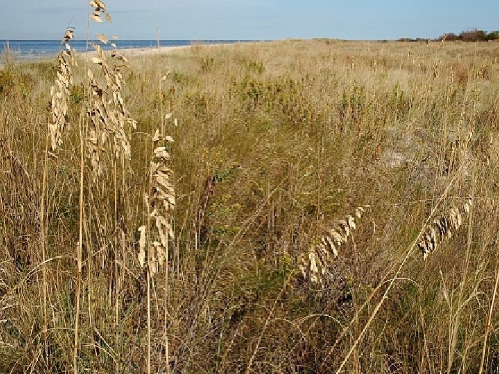
Characteristics of the Coastal Plain • Rivers are affected by the tides • Flat, marshy or wooded land • Youngest rocks in Virginia formed from deposited sediments from eroded Appalachian Mountains • Horizontal layers of clays and sediments • Surrounds the Chesapeake Bay • Bordered on the west by the Fall Line and the Piedmont Region.
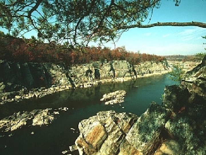
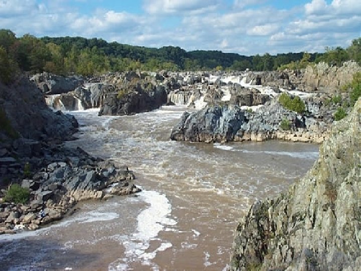
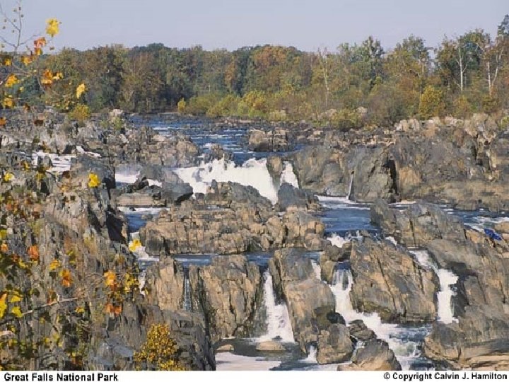
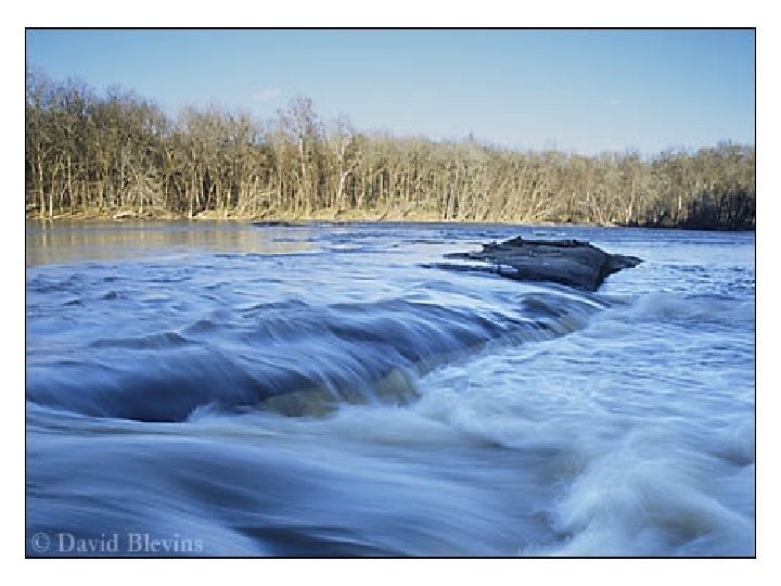
The Fall Line • Point where rivers drop down from the resistant, metamorphic rocks of the Piedmont onto the flat sedimentary rocks of the Coastal Plain. • Barrier to ships moving up the rivers of coastal Virginia. Therefore, many important cities of VA are on the Fall Line.
Fall Line
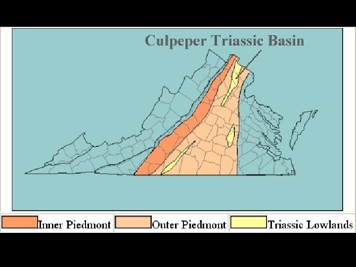
The Piedmont • Formed during the collision between Africa and North America • Foothills of the Appalachians • Rolling metamorphic hills and valleys • Triassic basins found in this region • Eastern boundary is Fall Line; Western boundary is the Blue Ridge.
Rock quarry with exposed Triassic basin lava rock
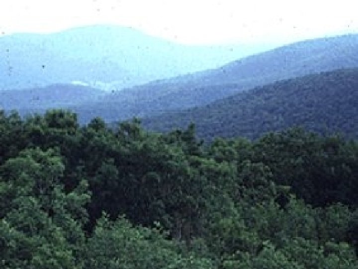
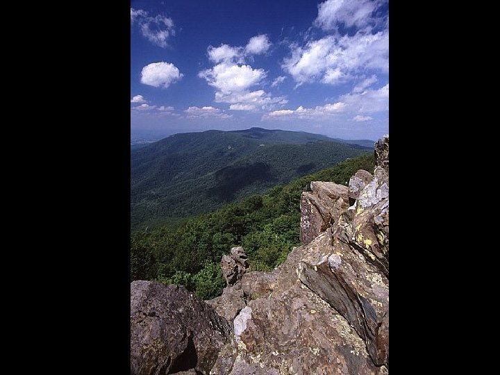
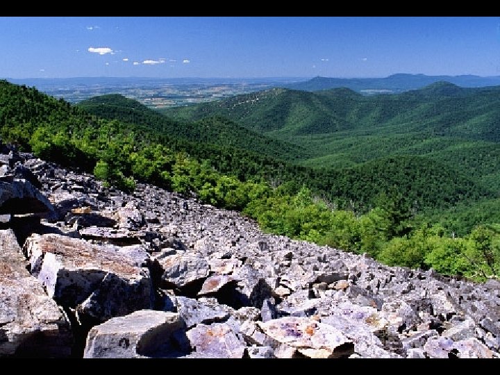
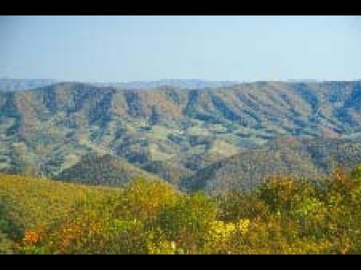
The Blue Ridge Province • Highest elevation province of Virginia • Consists of the north-south trending Blue Ridge Mountains • Separates Valley and Ridge Province from the Piedmont
Blue Ridge Valley and Ridge Province Piedmont
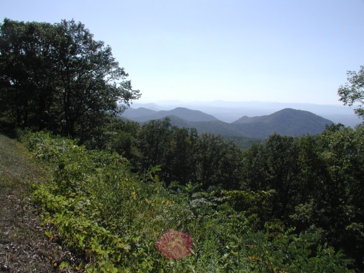
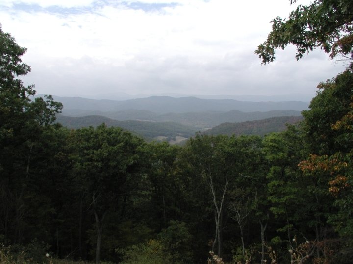
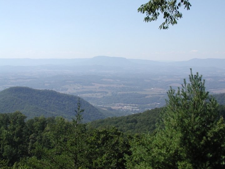
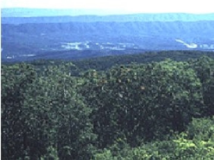
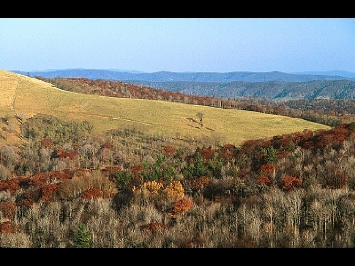
The Valley and Ridge Province • Long, narrow ridges separated by equally long valleys • Ridges are made of hard, resistant rock • Valleys are softer, more easily eroded rock • Linear pattern is created by intense folding & faulting during continental collision • Limestone areas have karst topography & many caverns • Rivers trend north and south • Bordered by Blue Ridge and Appalachian Plateau
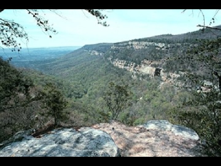
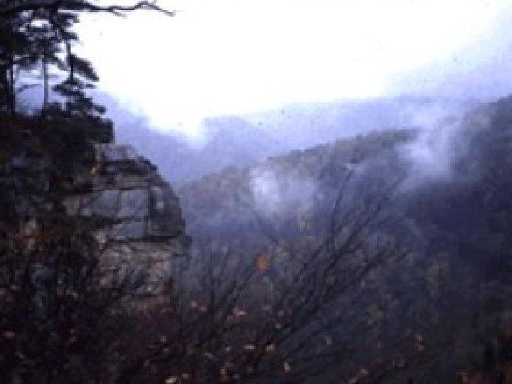
Appalachian Plateau • Flat or nearly flat sedimentary rocks of Paleozoic age (225 - 500 million years old) • Very high, relatively flat relief • Coal deposits abundant • Not folded when Africa collided with North America
Appalachian Plateau
Main coal fields in Virginia
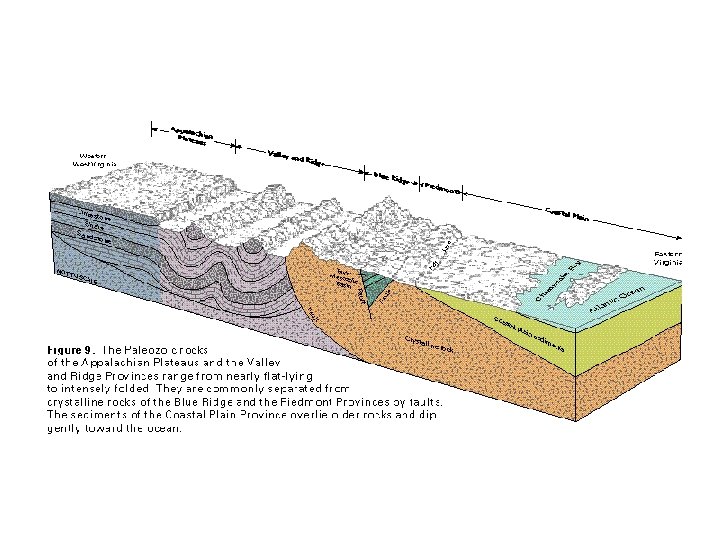
Physiographic Cross-section of Virginia