
Using Avenza Maps In Forest Mangement Chris Fife


- Slides: 17
Using Avenza Maps In Forest Mangement Chris Fife Public Affairs Manager FRA Forestry Forum Brewer, Maine 3 -1 -18
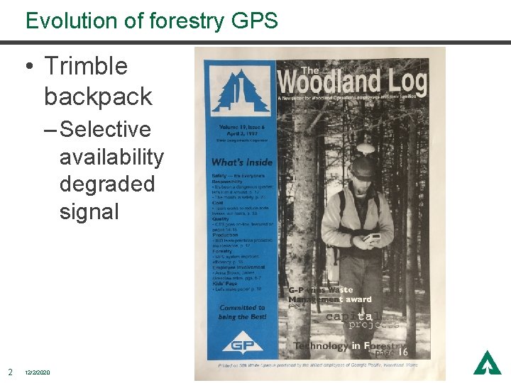
Evolution of forestry GPS • Trimble backpack – Selective availability degraded signal 2 12/2/2020
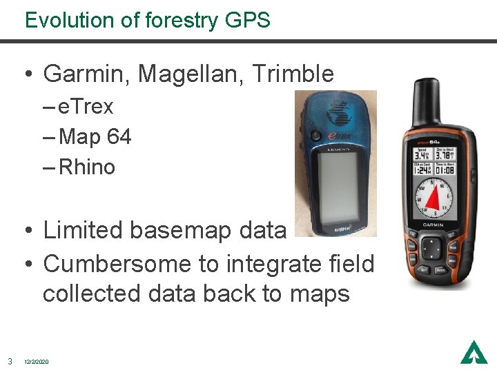
Evolution of forestry GPS • Garmin, Magellan, Trimble – e. Trex – Map 64 – Rhino • Limited basemap data • Cumbersome to integrate field collected data back to maps 3 12/2/2020
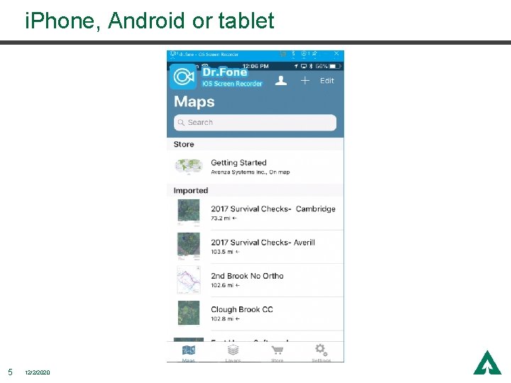
What is Avenza Maps? • Mapping app for phones and tablets • Allows user to view PDF format maps in the field • No cell service or internet required in the field • Pro version allows user to upload unlimited custom maps (limited by space on device) 4 12/2/2020
i. Phone, Android or tablet 5 12/2/2020
Improved Efficiency • Planning • Communication • Tracking activities 6 12/2/2020
Planning • Quickly generate simple recon maps with the info you need – Harvest block/ownership boundaries – Streams and SMZ layout • Locating landings, skid trails and crossings • Capture of tracks to create final harvest map 7 12/2/2020
Recon maps Li. DAR streams for layout 8 12/2/2020
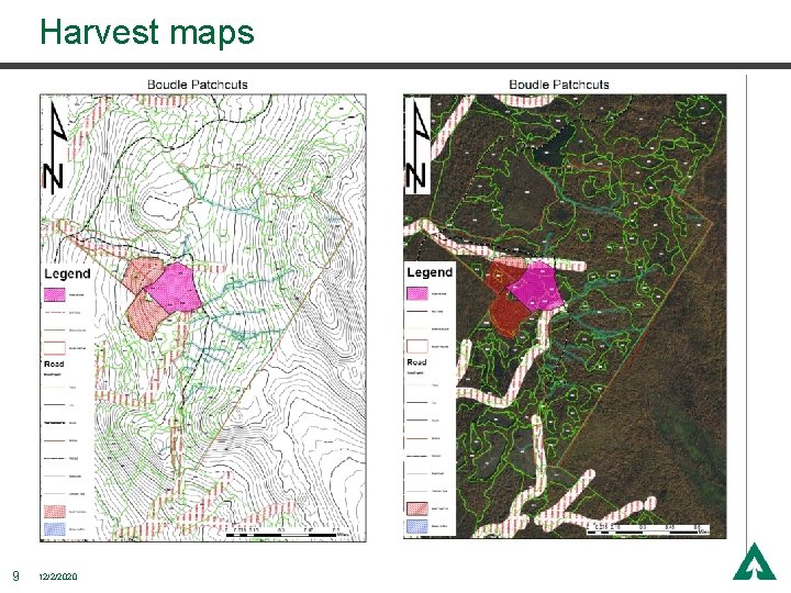
Harvest maps 9 12/2/2020
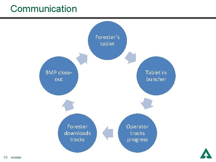
Communication Forester’s tablet BMP closeout Forester downloads tracks 10 12/2/2020 Tablet in buncher Operator tracks progress
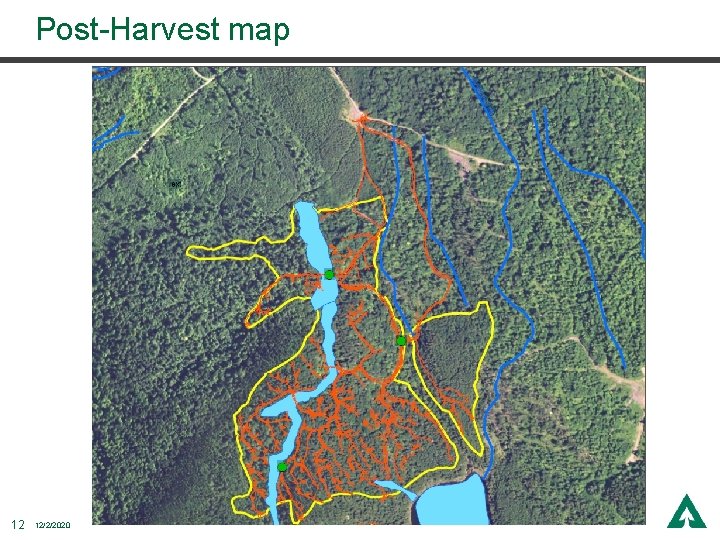
Tracking Activities • Track can be easily saved to show where harvest occurred – Improve skidding efficiency – Update stands – Answer questions from regulators/stakeholders – Target BMP closeout work 11 12/2/2020
Post-Harvest map 12 12/2/2020
Advantages • Additional check when operating in dark or poor visibility • Can have multiple maps of the same area; contour, aerial image, forest type • Easy to embed photos 13 12/2/2020
Lessons Learned • Slow performance if too many maps on device • Cellular capable device has best accuracy • Need additional power source – battery backup or hardwire in equipment • External antenna needed for use in equipment – Garmin Glo, Bad Elf 14 12/2/2020
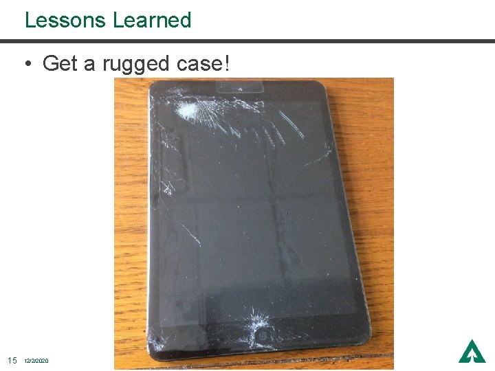
Lessons Learned • Get a rugged case! 15 12/2/2020
Thank You 17 12/2/2020