Using a Portable GPS To Determine Distance to

Using a Portable GPS To Determine Distance to the Centerline in the Field Ted Blank IOTA Conference Carson City, NV September, 2017

80 km te n e C e n r Li You have chosen a chord, calculated the distance, perhaps even visited the site or checked it out on Google Street View.

However, upon getting close to your site, you find out that the road you chose is closed due to flood damage! X X 80 km

There’s another road that crosses your chord, but how will you know when you are the proper distance from the center line? X X ?

You will need a portable GPS unit which can display “Off-Course Distance” • Garmin GPSMap 64 • Garmin e. Trex 10, 20, 30 • Garmin “Montana” • Garmin “Oregon”

Use Occult 4’s option to export the path of the centerline in “GPX” format.
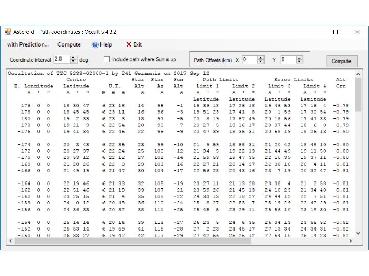

Track File

Edit the “Track File” Open. TRX file in Wordpad Five “track segments” First segment is center line Keep this segment. (Trim to <250 points) Delete the other four segments, which represent the 1 -sigma and 2 -sigma lines

Be careful not to delete these last two lines Save file

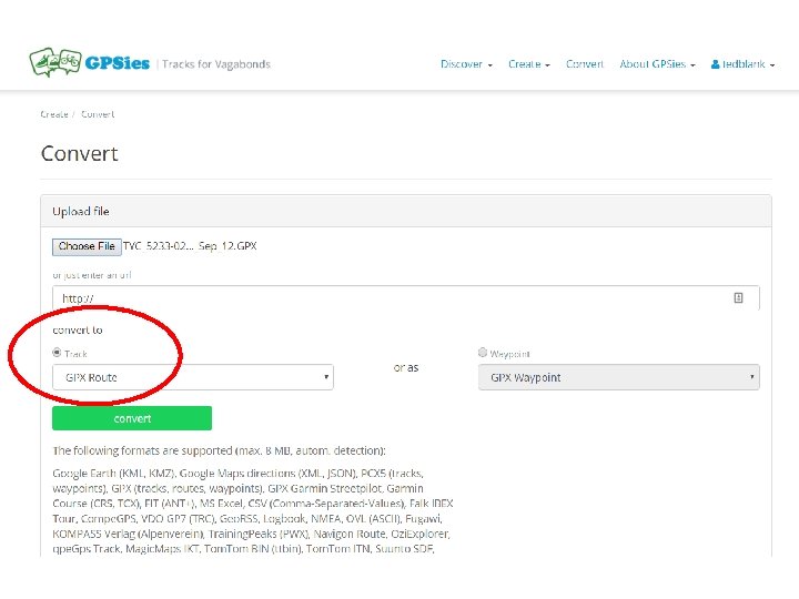
Convert the Track File to a “Route File” using website: www. gpsies. com/convert. do - Register (free) - Select “Convert” from GPS Track to GPS Route

Download and install free Garmin “Basecamp” software

Import your “route” file into Basecamp, and plug in your portable device

Device Route File

Select and use the “Route” you have just downloaded to the handheld device. Set up the device to display the “Off Course” distance on the map. You will now know your perpendicular distance to the center line at all times.
- Slides: 17