
Use of UNLOCODE by IMO Hakan Demirlioglu Geneva
Use of UN/LOCODE by IMO Hakan Demirlioglu Geneva, November 2017
IMO mission: safe, secure and efficient shipping on clean oceans
Contents Use of UN/LOCODE by IMO • IMO at a short glance • Use of UN/LOCODE by IMO • Data synchronization of the UN/LOCODE releases by IMO 3
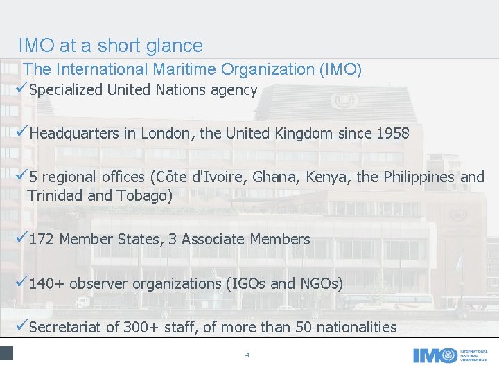
IMO at a short glance The International Maritime Organization (IMO) üSpecialized United Nations agency üHeadquarters in London, the United Kingdom since 1958 ü 5 regional offices (Côte d'Ivoire, Ghana, Kenya, the Philippines and Trinidad and Tobago) ü 172 Member States, 3 Associate Members ü 140+ observer organizations (IGOs and NGOs) üSecretariat of 300+ staff, of more than 50 nationalities 4
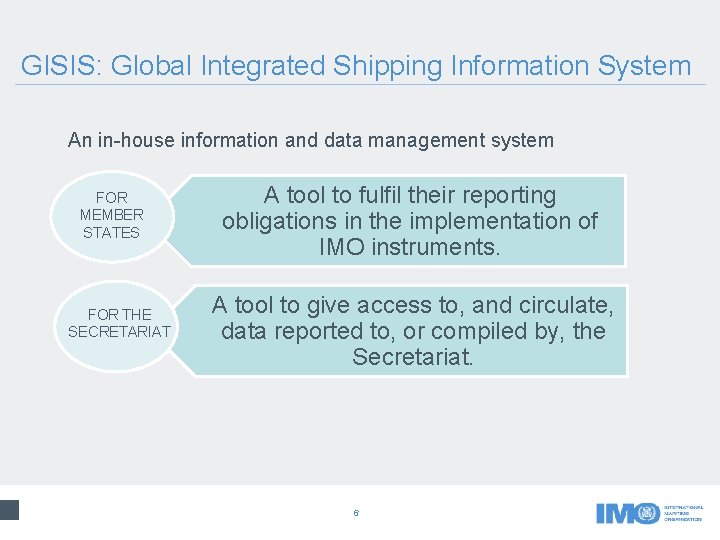
GISIS: Global Integrated Shipping Information System An in-house information and data management system FOR MEMBER STATES FOR THE SECRETARIAT A tool to fulfil their reporting obligations in the implementation of IMO instruments. A tool to give access to, and circulate, data reported to, or compiled by, the Secretariat. 6
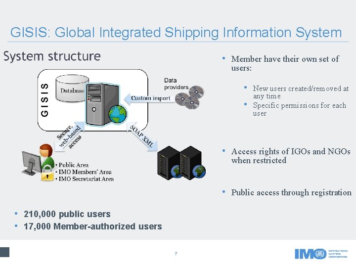
GISIS: Global Integrated Shipping Information System • Member have their own set of users: • New users created/removed at • any time Specific permissions for each user • Access rights of IGOs and NGOs when restricted • Public access through registration • 210, 000 public users • 17, 000 Member-authorized users 7
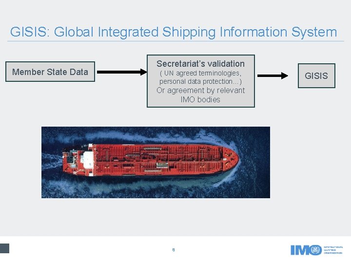
GISIS: Global Integrated Shipping Information System Member State Data Secretariat’s validation ( UN agreed terminologies, personal data protection…) Or agreement by relevant IMO bodies 8 GISIS
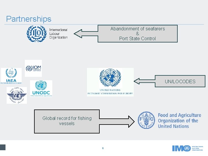
Partnerships Abandonment of seafarers & Port State Control UN/LOCODES Global record for fishing vessels 9
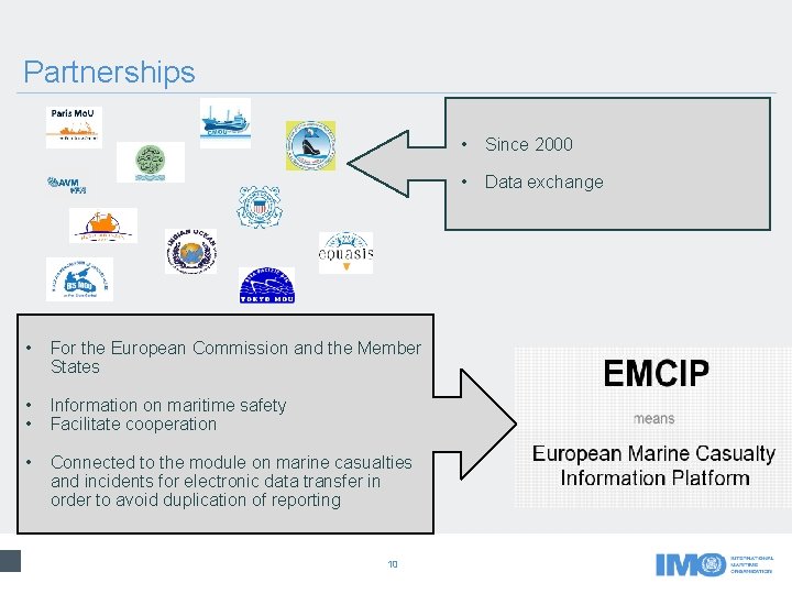
Partnerships • For the European Commission and the Member States • • Information on maritime safety Facilitate cooperation • Connected to the module on marine casualties and incidents for electronic data transfer in order to avoid duplication of reporting 10 • Since 2000 • Data exchange
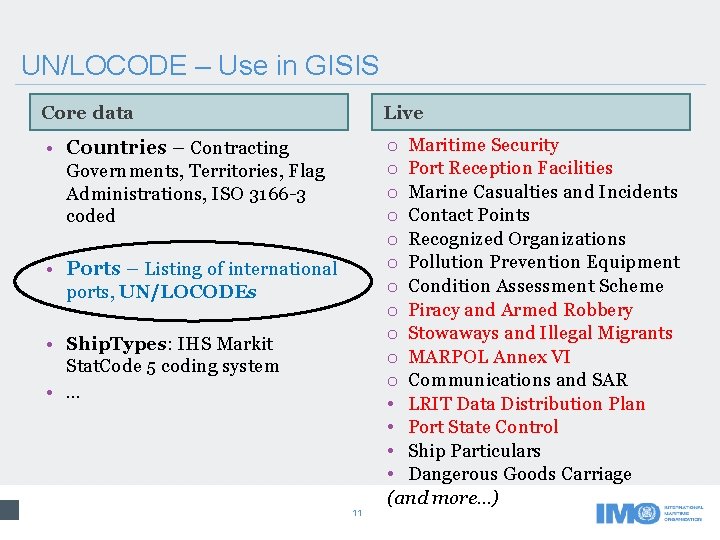
UN/LOCODE – Use in GISIS Core data Live • Countries – Contracting o Maritime Security o Port Reception Facilities o Marine Casualties and Incidents o Contact Points o Recognized Organizations o Pollution Prevention Equipment o Condition Assessment Scheme o Piracy and Armed Robbery o Stowaways and Illegal Migrants o MARPOL Annex VI o Communications and SAR • LRIT Data Distribution Plan • Port State Control • Ship Particulars • Dangerous Goods Carriage (and more. . . ) Governments, Territories, Flag Administrations, ISO 3166 -3 coded • Ports – Listing of international ports, UN/LOCODEs • Ship. Types: IHS Markit Stat. Code 5 coding system • … 11
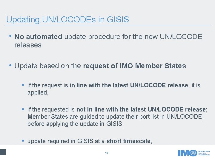
Updating UN/LOCODEs in GISIS • No automated update procedure for the new UN/LOCODE releases • Update based on the request of IMO Member States • if the request is in line with the latest UN/LOCODE release, it is applied, • if the requested is not in line with the latest UN/LOCODE release; Member States are guided to update their port list in UN/LOCODE, before applying the update in GISIS, • update required in GISIS at a short timescale, 13
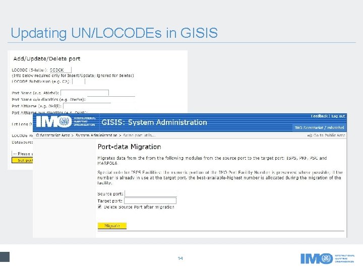
Updating UN/LOCODEs in GISIS 14
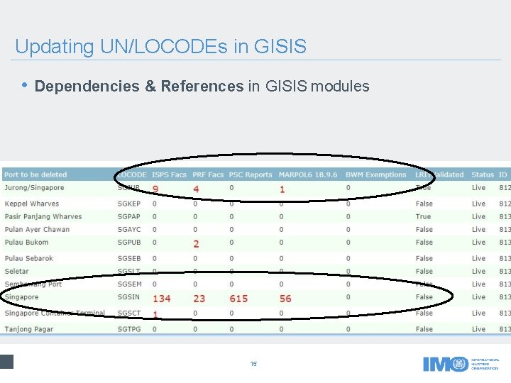
Updating UN/LOCODEs in GISIS • Dependencies & References in GISIS modules 15
Conclusion • Consequences of the changes in UN/LOCODE should be considered carefully • Divergence between the latest UN/LOCODE release and the list of ports used in GISIS • Automatic updating of changes in UN/LOCODE (e. g. using XML) • A clean-up process is required at IMO 16
Any questions? Email media@imo. org International Maritime Organization 4 Albert Embankment London SE 1 7 SR United Kingdom twitter. com/imohq Tel: +44 (0)20 7735 7611 Fax: +44 (0)20 7587 3210 Email: info@imo. org www. imo. org facebook. com/imohq youtube. com/imohq flickr. com/photos/ imo-un/collections
- Slides: 15