Update from Oregon Wildlife Linkage Workshops 2007 Oregon


- Slides: 24
Update from Oregon Wildlife Linkage Workshops, 2007 Oregon Chapter of The Wildlife Society February 14, 2008 – Salishan Resort, Oregon
Oregon Conservation Strategy • Charting the course for conservation • All states have now completed Wildlife Action Plans • Unprecedented opportunity to work across ecoregions and to work with federal partners
Six Key Conservation Issues • Land use changes • Invasive species • Changes in fire, flood regimes • Water quality and quantity • Institutional barriers to voluntary conservation • Barriers to fish and wildlife movement
Oregon Wildlife Movement Strategy • ODFW, ODOT co-lead • ODFW’s role: Identify wildlife priorities
Roads impact wildlife in several ways: Habitat loss Direct mortality Indirect impacts RIP Habitat lost Animals die Reduce habitat quality Reduced population size Reduced population persistence Diagram modified, with permission from Jaeger et al. , Ecological Modelling 185 (2005) 329– 348
Linkages Working definition: “Best place to provide for animal movement needs, with an emphasis on areas Linkage areas that cross roads” • ODFW convened four workshops in 2007 – Review session at The Wildlife Society – Bend, Roseburg, La Grande, & Alsea
ODFW linkage workshops • Convened expertise from agency, conservation organization, and private sectors • Breakout sessions worked with existing maps and with GIS • Product: Identified linkage areas that cross transportation corridors throughout the state
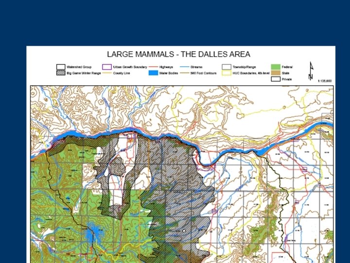
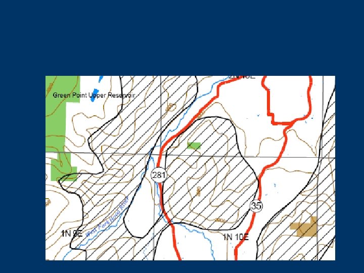
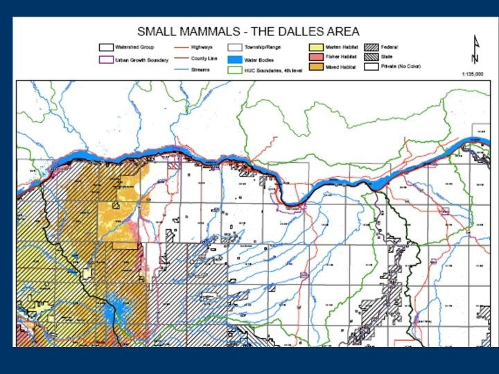
Linkage workshop focal species list • Large mammals – – Elk Mule deer Black-tailed deer Columbian white-tailed deer – Pronghorn – Black bear • Small & medium sized mammals – – Fisher Marten Western gray squirrel White tailed jackrabbit
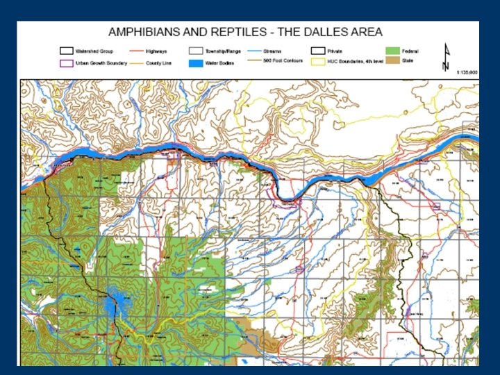
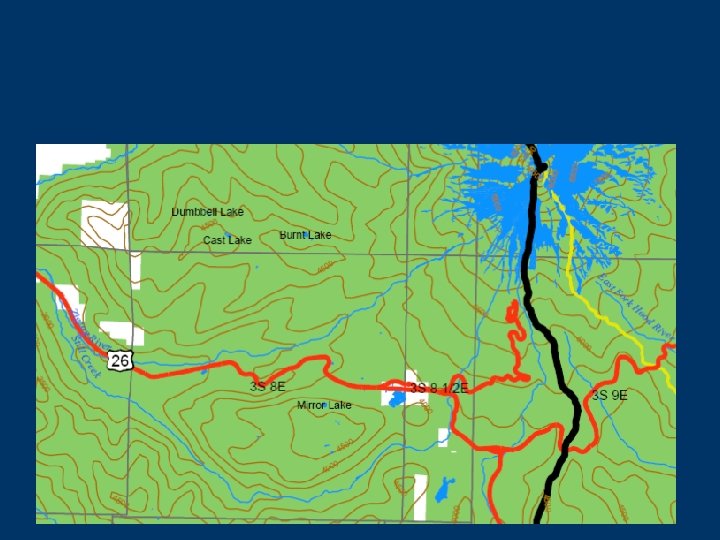
Linkage workshop focal species list, continued • Reptiles • Amphibians – Painted turtle – Western pond turtle – Western rattlesnake (in the Willamette ecoregion only) – – – – Columbia spotted frog Oregon spotted frog Tailed frog (inland & coastal) Red-legged frog Western toad Cascades frog Foothill yellow legged frog • In practice: Identified herp areas based on habitat
Existing datasets • • Strategy habitats Conservation Strategy priority habitats Vegetation type Strategy species modeled distribution Land ownership Roads, highways Waterbodies, streams ODFW big game winter range
Linkage ID: Focal species: Linkage data form, page 1 of 2: Provide brief description (i. e. , general habitat type; land cover; land ownership; drainage): 1. What type of linkage is provided for the focal species (Check all that apply): ___ Landscape – level linkage ___ Migratory link ___ Population link (provides for genetic interchange) ___ Complementary habitat (daily or seasonal movements) ___ Historic or previously functioning linkage (“missing linkage”) ___ Imminently missing linkage ___ Connectivity choke-point ___ Other 2. What are the most significant barriers to animal movement within the linkage area: __ Development (i. e. , urbanization; planned changes in zoning) __ Roadways __ Natural barriers (i. e. , lava beds; etc) ___ OHV trails ___ Vegetation management ___ Concrete median on highway ___ Other
Linkage data form, page 2 of 2: 3. Score the value of this linkage for this focal species [see definitions and criteria page for guidance]: 1 (low value) 2 3 4 5 (critical value) 4. Score the overall threat to connectivity 1 (no threat/secure) 2 3 4 5 (severe threat/loss imminent) 5. What specific opportunities are available to restore, establish or protect the linkage (i. e. , known local support for restoration, land management, or acquisition)? 6. What existing features facilitate animal movement through the linkage area (check all that apply): __Waterway __Riparian habitat __Continual habitat coverage __Underpass/bridge __Other
ODFW linkage dataset applications • In many cases, “flag” linkage areas to do further surveys to confirm • Work with ODOT and others to implement solutions
Implementation via ODFW/ODOT Liaison Program • Project driven • Provide a resource to assist with project scoping • Fine tune the passage questions • Develop site and species specific passage actions • Monitoring
Next steps: Data processing • Oregon linkage dataset represents Professional Opinion • Getting all into digital, GIS format • Can combine with modeling efforts, compare with Strategy’s COA’s Example data model: Oregon Landscape permeability work
Data processing timeline, February – May 2008: Task Who? By when? Finish data entry Portland State U. student volunteers All workshop participants + others PSU, ODFW February 15, 2008 By end of March, 2008 Peer review Update dataset More GIS Modeling? Early April 2008 <? > Partners welcome! Combine datasets ODFW, workgroup May 2008 with ODOT
Next steps: Regional coordination • Oregon’s linkage work • ODFW cannot do this is similar to efforts in alone! other states, regions – Opportunity for partners, including conservation throughout the U. S. organizations; hunters • Exploring opportunities groups; others to work with adjacent states • Western Governor’s Association initiative
Wildlife crossings summit 2008 • October 19 - 24, 2008 • Oregon Zoo • Many events planned, including – – – Kick-off event Symposia “Linking conservation data with transportation planning” workshop • Federal Highways – Defenders of Wildlife – Natureserve – Wildlife Crossings training – Field trip For more information: Suzanne. Rosen@oregonzoo. org
Acknowledgments • For more information: – Audrey Hatch, 541 – 757 – 4263 x 242; Audrey. C. Hatch@state. or. us www. dfw. state. or. us/conservationstrategy – www. oregonexplorer • Workshop participants • USFS, FHWA, ODOT, PSU for financial & in-kind contributions • Our thanks to the photographers: • Stephen Anderson • • • Jason Blazar Bruce Campbell Claire Fiegener Lori Hennings Bob Hooten Brome Mc. Creary • Michael Murphy • Tony Clevenger • Bruce Newhouse • Bruce Taylor • Jennifer Thompson • USFWS • Mindy Trask