Unmanned Aircraft Systems UAS The future of hurricane
: The future of hurricane research and reconnaissance flights? Michael L.")

 Puma Low Altitude Long Duration")
")


 Hurricane Frank Maiden TC flight of GH Short ferry")

 allows for “virtual” flying, track changes, coordination with")

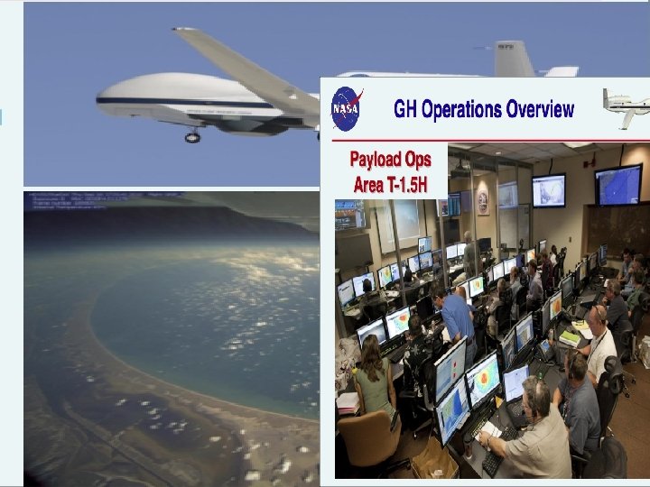
 and HAMSR imagery overlaid on satellite images (bottom) Successes")


- Slides: 21
Unmanned Aircraft Systems (UAS): The future of hurricane research and reconnaissance flights? Michael L. Black Hurricane Research Division NOAA-AOML Miami, Florida
Historical Aircraft AT 6 NOAA DC 6 NOAA Super Connie 1944 First flight Current Aircraft NASA ER 2 NOAA G-IV NASA DC 8 Air Force C-130 J Work horses NOAA P 3
The future for hurricane flights? Unmanned Aerial Vehicles (UAV) Puma Low Altitude Long Duration (LALE) Aerosonde Global Hawk High Altitude Long Duration (HALE)
Aerosonde Project NASA&NOAA - flew into TS Ophelia and Hurricane Noel Slow (60 mph) yet can fly Small (10 ft) light (30 lb. ) close to ocean surface and launched from car stay airborne for up to 30 hrs Low cost: $50, 000
High Altitude Long Duration
GALE UAS Partnership with NOAA, Embry-Riddle U. , and Dynawerks Performance Attribute Copyright & Proprietary Information: ERAU & DWT Estimated Performance Mission Weight 8. 0 lb Cruise Speed 42 kts Dash Speed 110 kts Stall Speed 22 kts Mission Endurance 60 minutes Low Altitude Short Endurance (LASE)
GALE UAS Design Features Launches out of P 3 AXBT tube Command control from the P 3 Vehicle collapses within its own diameter for tube transport and launch Copyright & Proprietary Information: ERAU & DWT
GALE UAS: Flight testing late Spring 2011 Test missions Summer of 20111 GPS antenna and Autopilot MIST Sonde sensor Sat. Com antenna Copyright & Propietary Information: ERAU & DWT
The NASA Global Hawk: From the California Desert to the Arctic, the Central Pacific, or the Tropical Atlantic
Hurricane Earl Hurricane Karl TD Frank TS Mathew Pre-Karl
August 28 flight into (former) Hurricane Frank Maiden TC flight of GH Short ferry from Dryden at Edwards AFB, CA Limited convection Ideal proof of operations flight for GH and crew Pre-designed plan was a square-spiral Instead, made real time flight changes to target convection 13 -hr flight Tropical Low Frank
GH imagery from August 28 flight into tropical low Frank Swirl of low clouds near center Roll clouds in spiral bands south of center
NASA’s Real Time Mission Monitor (RTMM) allows for “virtual” flying, track changes, coordination with other aircraft
Hurricane Earl from 60, 000 feet
RTMM GH-DC 8 Coordination (top) and HAMSR imagery overlaid on satellite images (bottom) Successes from Earl Flight Ability to overfly a major hurricane Mission scientists able to work with GH pilots on real time track changes Coordination with other aircraft possible and effective All installed instruments worked well and most provided real-time data and/or imagery
Time-lapse Hurricane Earl imagery
Releasing dropwindsondes from the GH
Time Lapse of Hurricane Karl Flight
More HALE UAS for weather flights in the future? 21