UNGGIMWG on Marine Geospatial Information Introduction Established by

UN-GGIM-WG on Marine Geospatial Information

Introduction • Established by the Committee of Experts through UN-GGIM decision 7/111, noting the need for technical expertise and broad representation • Provides a high level forum to encourage enhanced global cooperation to address issues related to the availability and application of marine geospatial information – including inland water bodies and waterways, coastal zones, seas and oceans

Work Plan Highlights • Recognize Capacity Development Initiatives which may Benefit from WG Activities • Liaise with Relevant Organizations including IHO and GGIM Regional Entities • Recognize and endorse established standards for geospatial information in marine and inland waters • Produce Communications Plan • Produce Use Case Report – due in 2020
 marine geospatial information")
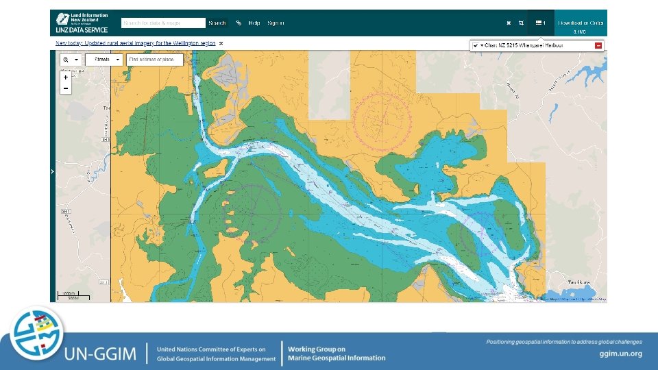
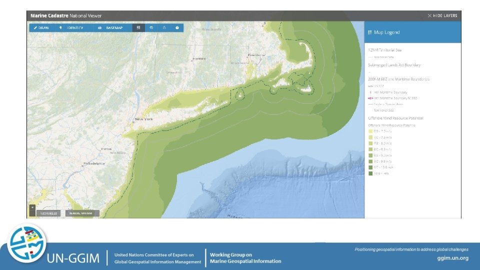
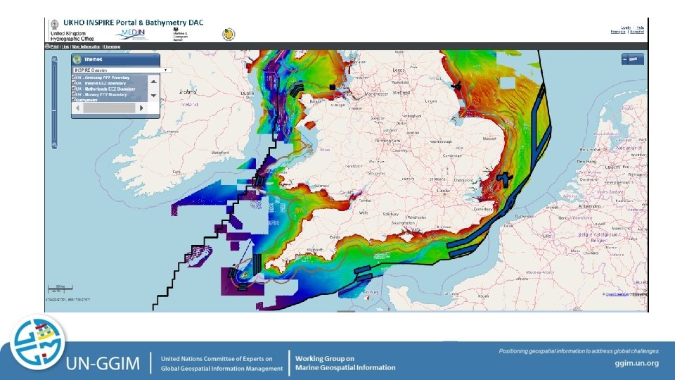
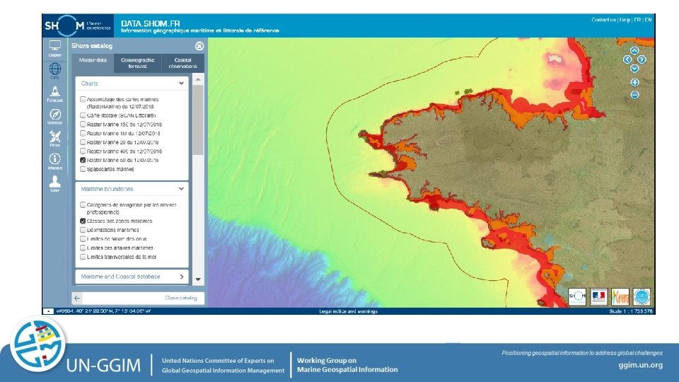
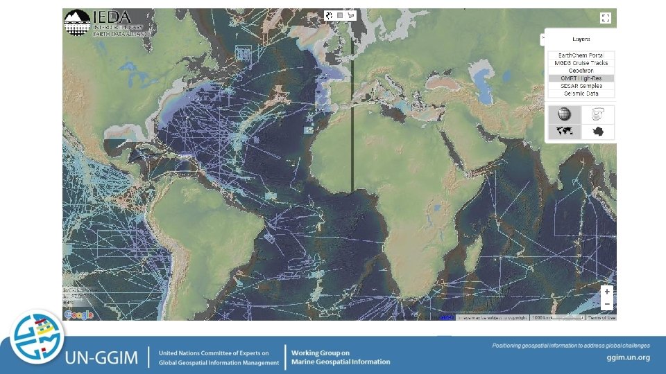
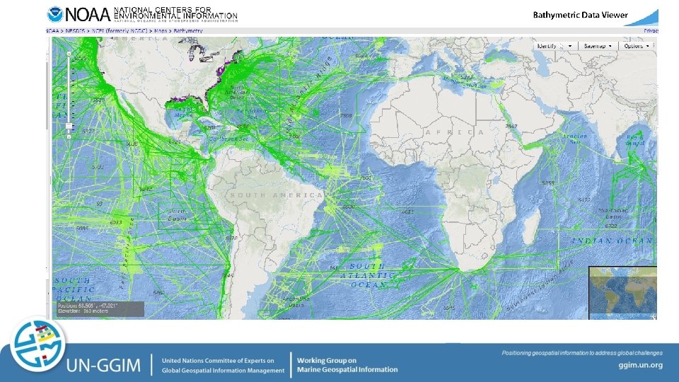
Use Case Report to show the benefits of open (readily available) marine geospatial information – examples… • Arctic Spatial Data Infrastructure • Data needed for determining where to best harvest wind energy and the associated economic impacts • Nautical charting data for use in mobile technology to assist small island reef fisherman

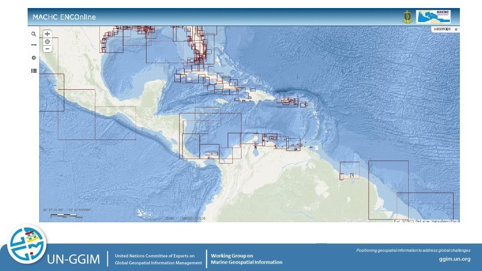

International Standards S-101 ENC S-102 Bathymetric Surface S-103 Sub-surface Navigation S-104 Water Level Information for Surface Navigation S-111 Surface Currents S-121 Maritime Limits and Boundaries S-122 Marine Protected Areas S-123 Radio S-124 Navigational Warnings S-125 Navigational Services S-126 Physical Environment S-127 Traffic Management S-128 Catalogues of Nautical S-129 Under Keel Clearance Management (UKCM) S-201 Aids to Navigation Information S-210 Inter-VTS Exchange S-230 Application Specific Messages S-240 DGNSS Station Almanac S-245 e. Loran ASF Data S-246 e. Loran Station Almanac S-247 Differential e. Loran Reference Station Almanac S-401 Inland ENC S-402 Bathymetric Inland ENC S-411 Ice Information S-412 Weather Overlay

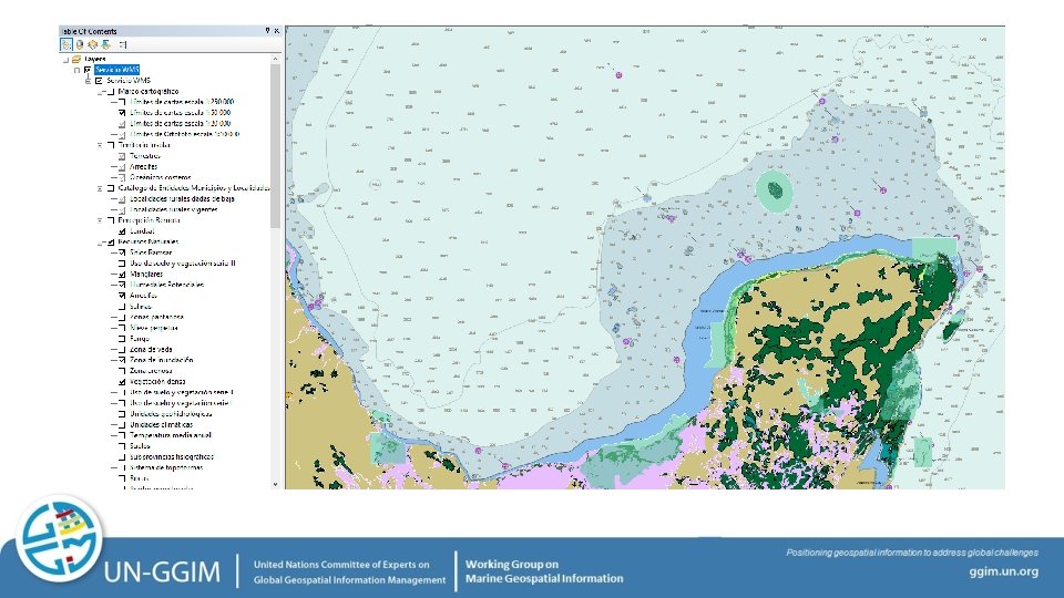
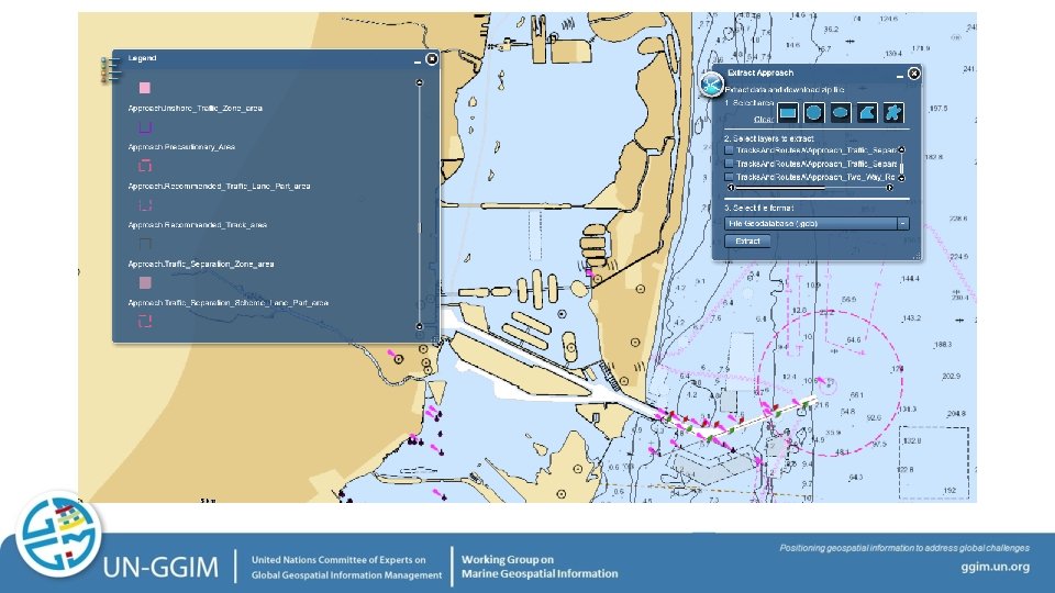
Data Layers – Export from S-57 Datasets

Strategic Development Goals

Membership – Current Composition 17 Member States 2 UN-GGIM Private Sector Network Members (Esri and Ocean Wise) The International Hydrographic Organization Division for Ocean Affairs and the Law of the Sea, Office of Legal Affairs, United Nations co-Chairs – Burkina Faso and United States of America

First Expert Meeting Scheduled in conjunction with the International Hydrographic Organization’s Marine Spatial Data Infrastructure Working Group and OGC March 7 – 9, 2019 Busan, Republic of Korea

Thank You John. Nyberg@noaa. gov
- Slides: 21