Understanding Maps The Language of Geography 4 Keys


- Slides: 18
Understanding Maps The Language of Geography
4 Keys to Understanding a Map ü TITLE – This describes the information it presents. ü LEGEND – This lists the symbols used on the map and identifies what each symbol represents. ü COMPASS ROSE – This shows the basic 4 directions – North, South East and West ü SCALE – Shows the actual distance between places on the map.
Types of Maps ü Physical – show the major physical features of an area, such as its rivers, mountains, vegetation, and elevation. ü Political – show major boundaries between countries or states. ü Thematic – show information relating to a specific theme, such as the spread of religion, climate, trade routes or industrial growth.
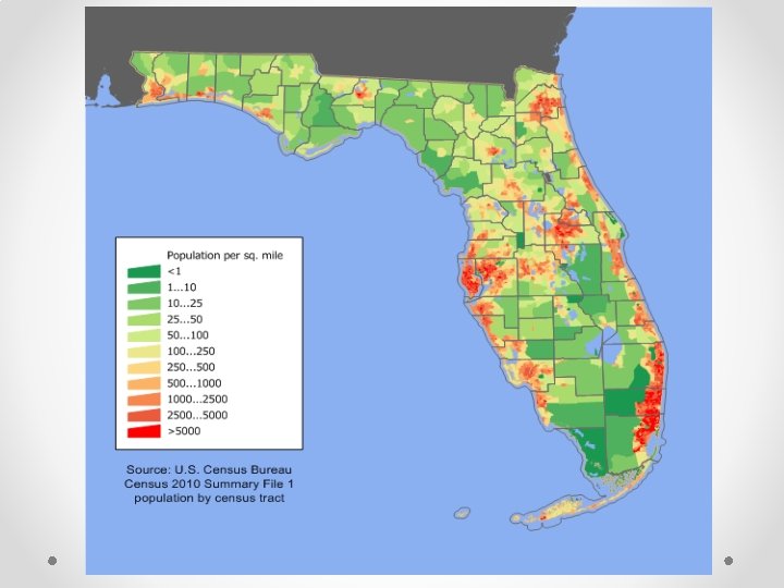
What type of map is this?
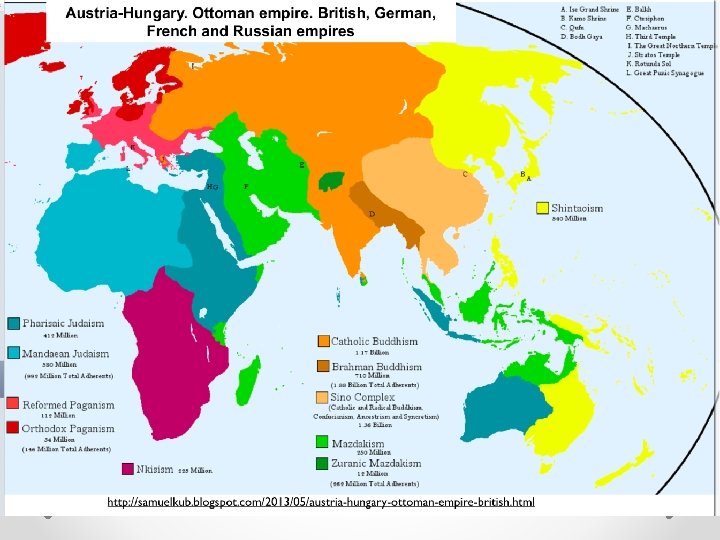
What type of map is this?
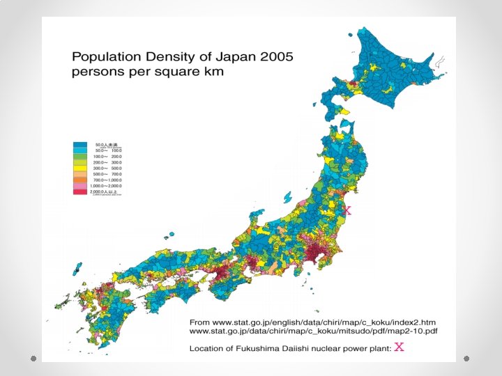
What type is this?
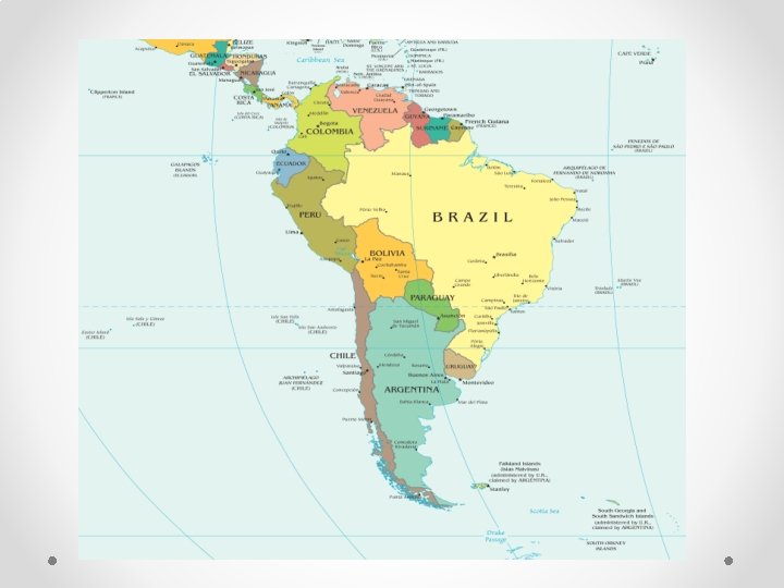
What type of map is this?
Comparing Maps
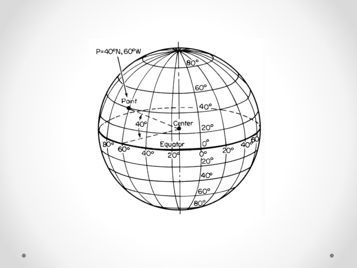
Location • Geographers have two sets of imaginary lines that make it possible to identify every location precisely on the earth’s surface. ü Latitudes are the imaginary horizontal lines that run parallel across the Earth. The Equator stretches around the middle of the earth and is identified as 0 degrees. ü Longitudes are imaginary lines that run up and down the earth. All longitude lines meet at the North and South Poles. The Prime Meridian is identified as 0 degrees.
What is Actual Location of Albuquerque, NM?
Quiz 1. Which feature would most likely appear on a physical map? a. Population density b. Capital cities c. Languages spoken d. Mountain ranges
2. Which question could a geographer best investigate with a series of maps? a. How religious beliefs influence popular customs? b. How economic events effect people’s savings rate? c. How the products made in an area change over time.
3. A primary reason that geographers study maps is to – a. Predict change in government policy b. Infer relationships between people and places c. Understand the time order in which an event unfolded. d. Appreciate the value systems of world cultures.