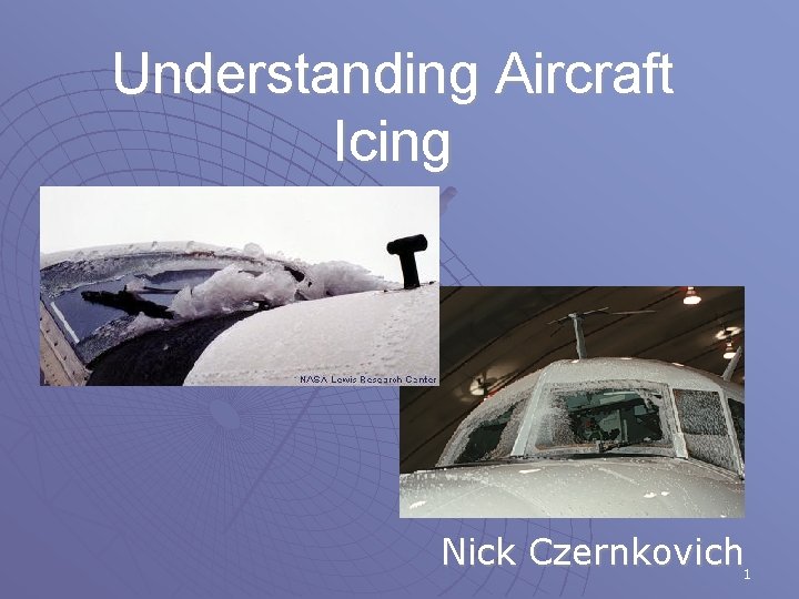
Understanding Aircraft Icing Nick Czernkovich 1 Aircraft Icing


- Slides: 70

Understanding Aircraft Icing Nick Czernkovich 1

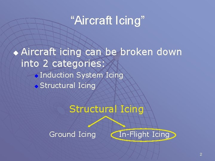
“Aircraft Icing” u Aircraft icing can be broken down into 2 categories: Induction System Icing u Structural Icing Ground Icing In-Flight Icing 2

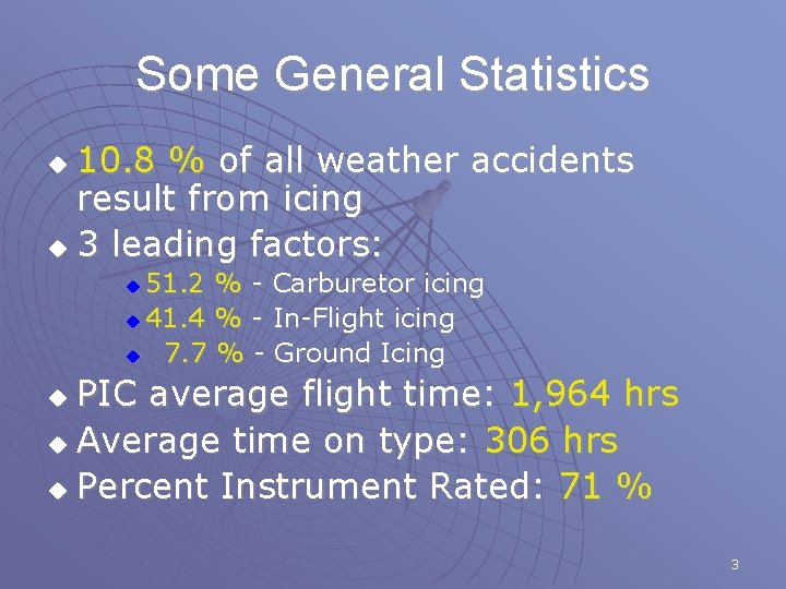
Some General Statistics 10. 8 % of all weather accidents result from icing u 3 leading factors: u 51. 2 % - Carburetor icing u 41. 4 % - In-Flight icing u 7. 7 % - Ground Icing u PIC average flight time: 1, 964 hrs u Average time on type: 306 hrs u Percent Instrument Rated: 71 % u 3

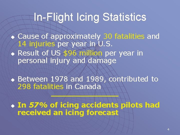
In-Flight Icing Statistics u u Cause of approximately 30 fatalities and 14 injuries per year in U. S. Result of US $96 million per year in personal injury and damage Between 1978 and 1989, contributed to 298 fatalities in Canada In 57% of icing accidents pilots had received an icing forecast 4

Pilot Awareness About Icing u One study concluded the following: • “…pilots do not understand the combined meteorological and aircraft conditions that cause structural ice…” • “[Pilots] have a poor understanding of the concept of collection efficiency that causes smaller parts of the airplane…to collect more ice than larger parts. ” • “All of the pilots surveyed have a very poor understanding of the specific effects ice has on the aerodynamics of the aircraft. ” (COMET Baseline Needs Assessment) 5

OUTLINE 1. 2. 3. 4. 5. 6. 7. Past Studies and Current Research Physics of Icing Environments Icing Certification and SLD Dynamics of Icing Flight Planning In-Flight Strategies NASA Icing Video (Control Anomalies) 6

Past Studies and Current Research 7

Recent Motivation u u u October 1994 crash of an ATR-72 near Roselawn, Indiana 1995, 1996/1997, 1997/1998, 1999/2000 – CFDE I/II/III and AIRS (respectively) AIRS – Improve ability to remotely sense icing regions u Better characterize icing environments u Improve ability to forecast icing conditions u Obtain measurements of aircraft performance in icing conditions u 8

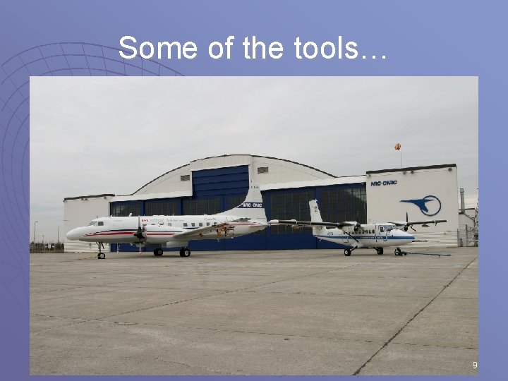
Some of the tools… 9

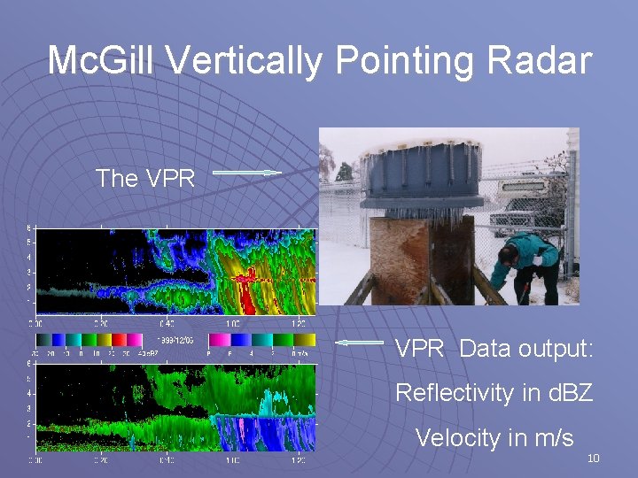
Mc. Gill Vertically Pointing Radar The VPR Data output: Reflectivity in d. BZ Velocity in m/s 10

Physics of Icing 11

Physical States (Phases) u Three physical states: • • • u u u Solid Liquid Vapour Water can exist in the atmosphere in all three phases Transition between phases takes place all the time, results in “Weather” Phase changes consume/release latent heat 12

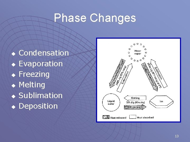
Phase Changes u u u Condensation Evaporation Freezing Melting Sublimation Deposition 13

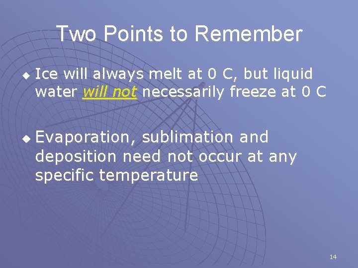
Two Points to Remember u u Ice will always melt at 0 C, but liquid water will not necessarily freeze at 0 C Evaporation, sublimation and deposition need not occur at any specific temperature 14

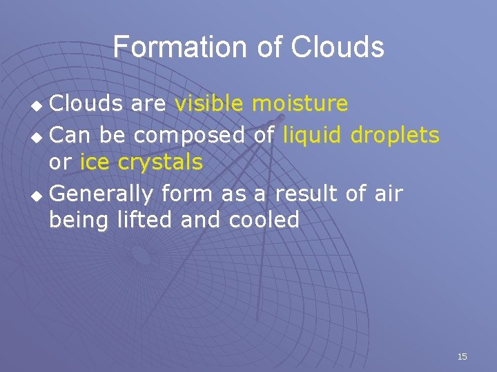
Formation of Clouds are visible moisture u Can be composed of liquid droplets or ice crystals u Generally form as a result of air being lifted and cooled u 15

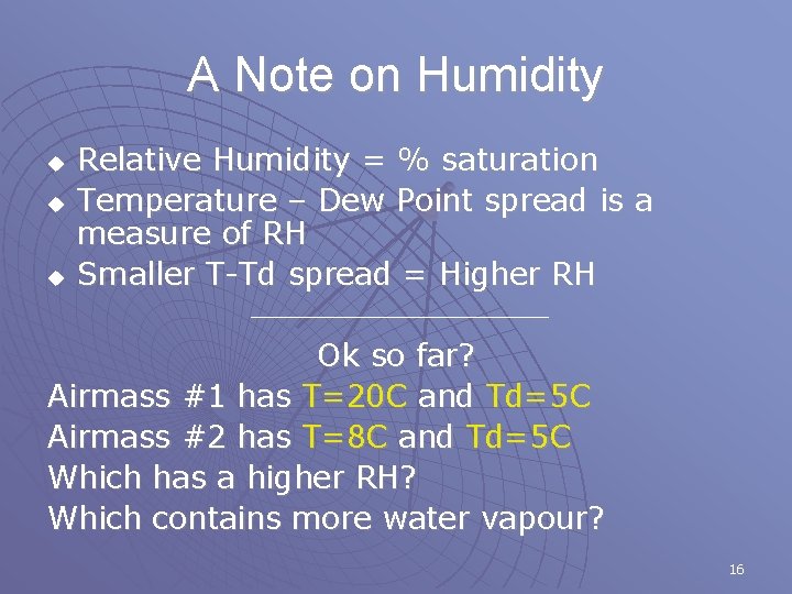
A Note on Humidity u u u Relative Humidity = % saturation Temperature – Dew Point spread is a measure of RH Smaller T-Td spread = Higher RH Ok so far? Airmass #1 has T=20 C and Td=5 C Airmass #2 has T=8 C and Td=5 C Which has a higher RH? Which contains more water vapour? 16

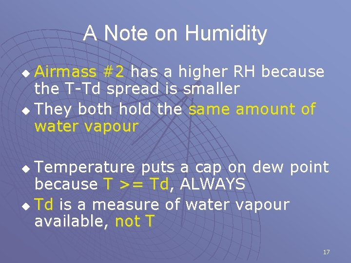
A Note on Humidity Airmass #2 has a higher RH because the T-Td spread is smaller u They both hold the same amount of water vapour u Temperature puts a cap on dew point because T >= Td, ALWAYS u Td is a measure of water vapour available, not T u 17

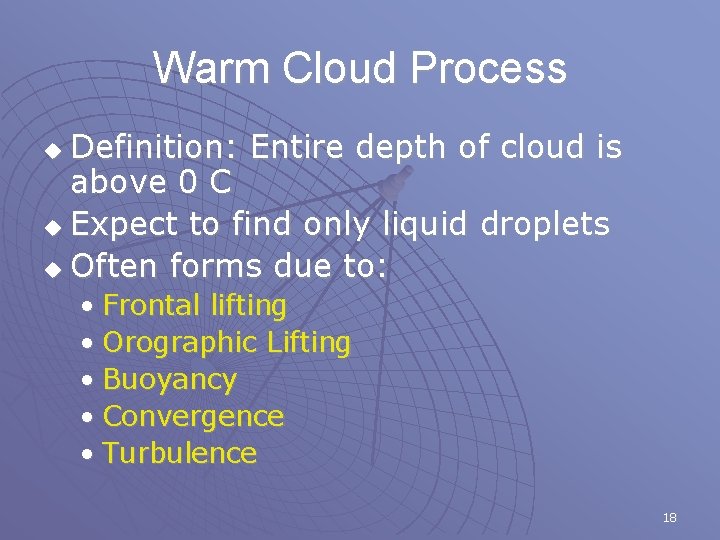
Warm Cloud Process Definition: Entire depth of cloud is above 0 C u Expect to find only liquid droplets u Often forms due to: u • Frontal lifting • Orographic Lifting • Buoyancy • Convergence • Turbulence 18

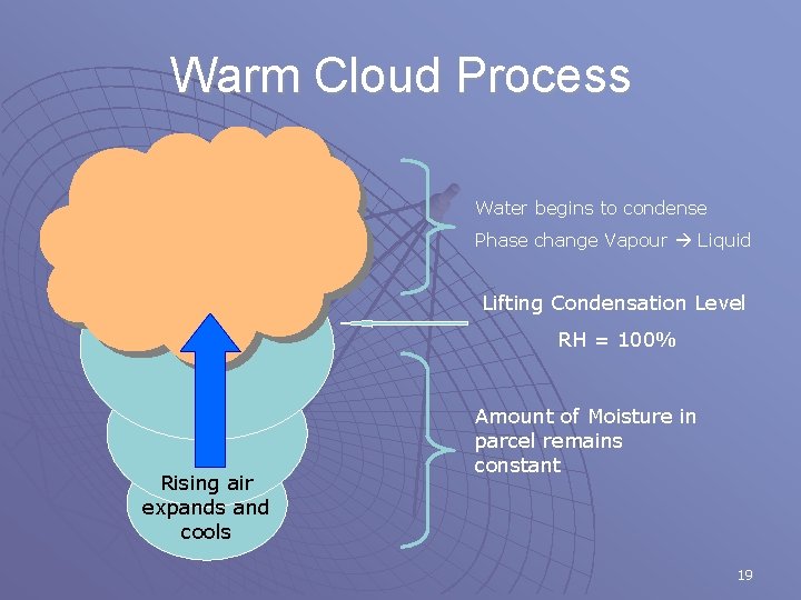
Warm Cloud Process Water begins to condense Phase change Vapour Liquid Lifting Condensation Level RH = 100% Rising air expands and cools Amount of Moisture in parcel remains constant 19

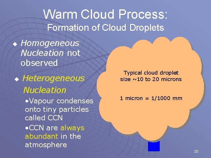
Warm Cloud Process: Formation of Cloud Droplets u u Homogeneous Nucleation not observed Heterogeneous Nucleation • Vapour condenses onto tiny particles called CCN • CCN are always abundant in the atmosphere Typical cloud droplet size ~10 to 20 microns 1 micron = 1/1000 mm 20

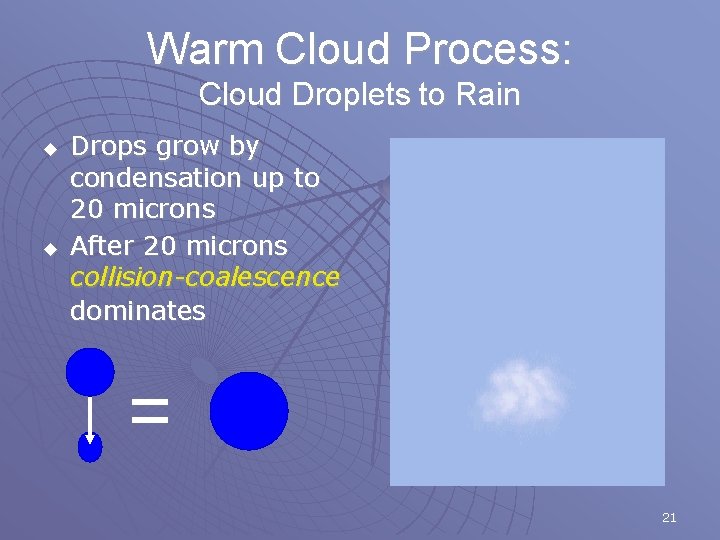
Warm Cloud Process: Cloud Droplets to Rain u u Drops grow by condensation up to 20 microns After 20 microns collision-coalescence dominates 21

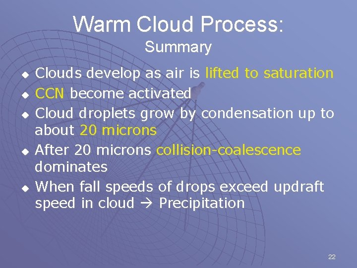
Warm Cloud Process: Summary u u u Clouds develop as air is lifted to saturation CCN become activated Cloud droplets grow by condensation up to about 20 microns After 20 microns collision-coalescence dominates When fall speeds of drops exceed updraft speed in cloud Precipitation 22

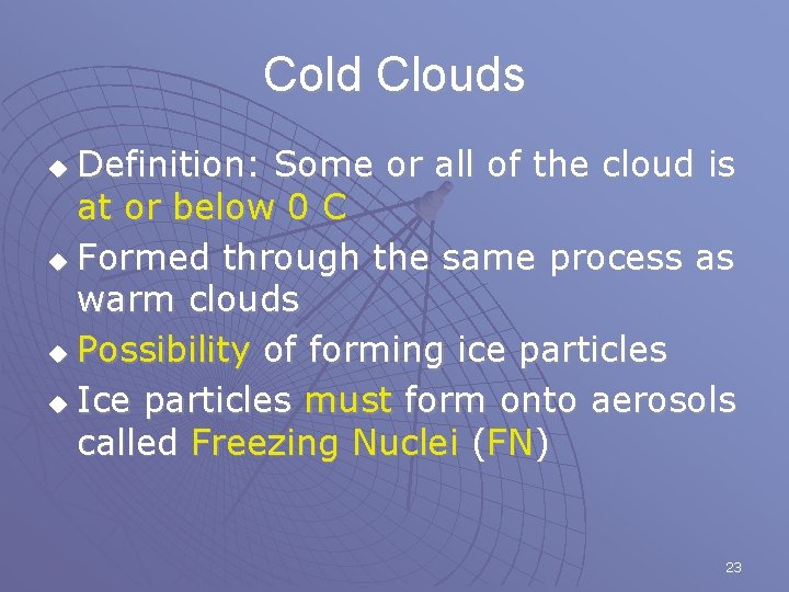
Cold Clouds Definition: Some or all of the cloud is at or below 0 C u Formed through the same process as warm clouds u Possibility of forming ice particles u Ice particles must form onto aerosols called Freezing Nuclei (FN) u 23

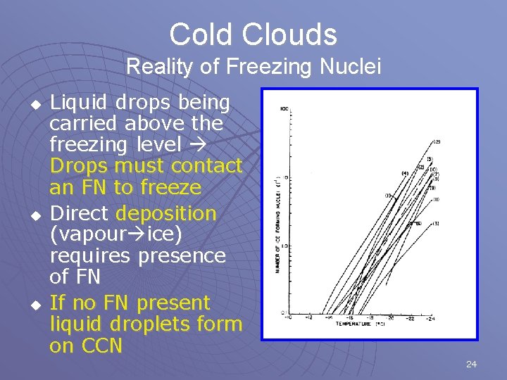
Cold Clouds Reality of Freezing Nuclei u u u Liquid drops being carried above the freezing level Drops must contact an FN to freeze Direct deposition (vapour ice) requires presence of FN If no FN present liquid droplets form on CCN 24

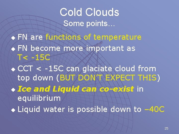
Cold Clouds Some points… FN are functions of temperature u FN become more important as T< -15 C u CCT < -15 C can glaciate cloud from top down (BUT DON’T EXPECT THIS) u Ice and Liquid can co-exist in equilibrium u Liquid water is possible down to – 40 C u 25

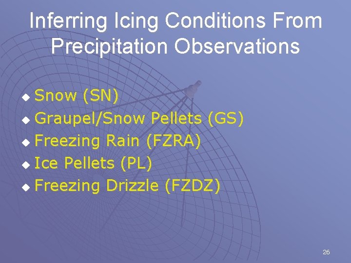
Inferring Icing Conditions From Precipitation Observations Snow (SN) u Graupel/Snow Pellets (GS) u Freezing Rain (FZRA) u Ice Pellets (PL) u Freezing Drizzle (FZDZ) u 26

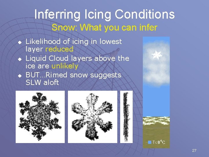
Inferring Icing Conditions Snow: What you can infer u u u Likelihood of icing in lowest layer reduced Liquid Cloud layers above the ice are unlikely BUT…Rimed snow suggests SLW aloft 27

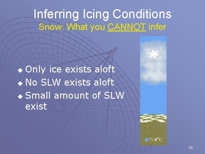
Inferring Icing Conditions Snow: What you CANNOT infer Only ice exists aloft u No SLW exists aloft u Small amount of SLW exist u 28

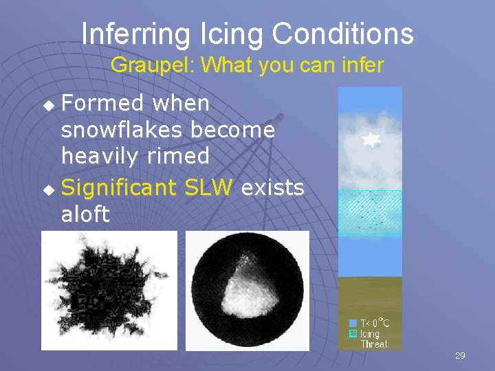
Inferring Icing Conditions Graupel: What you can infer Formed when snowflakes become heavily rimed u Significant SLW exists aloft u 29

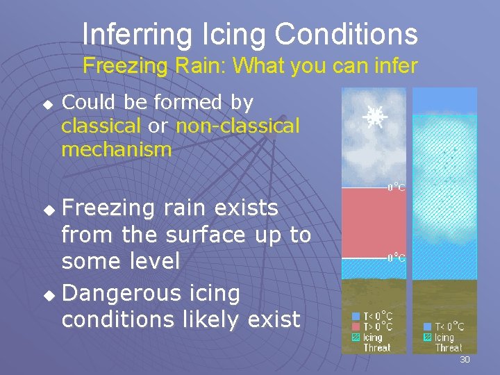
Inferring Icing Conditions Freezing Rain: What you can infer u Could be formed by classical or non-classical mechanism Freezing rain exists from the surface up to some level u Dangerous icing conditions likely exist u 30

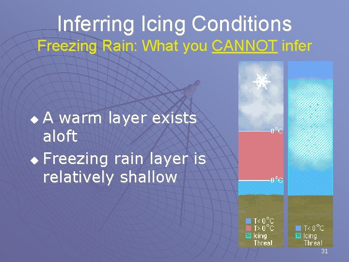
Inferring Icing Conditions Freezing Rain: What you CANNOT infer A warm layer exists aloft u Freezing rain layer is relatively shallow u 31

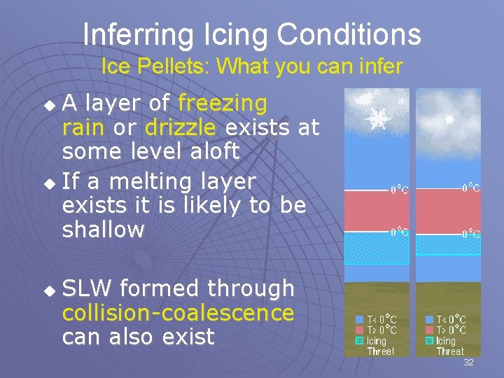
Inferring Icing Conditions Ice Pellets: What you can infer A layer of freezing rain or drizzle exists at some level aloft u If a melting layer exists it is likely to be shallow u u SLW formed through collision-coalescence can also exist 32

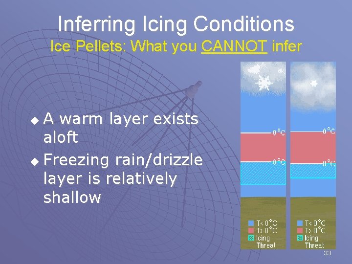
Inferring Icing Conditions Ice Pellets: What you CANNOT infer A warm layer exists aloft u Freezing rain/drizzle layer is relatively shallow u 33

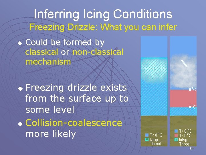
Inferring Icing Conditions Freezing Drizzle: What you can infer u Could be formed by classical or non-classical mechanism Freezing drizzle exists from the surface up to some level u Collision-coalescence more likely u 34

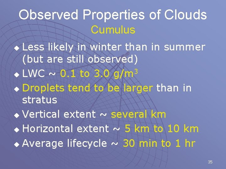
Observed Properties of Clouds Cumulus Less likely in winter than in summer (but are still observed) u LWC ~ 0. 1 to 3. 0 g/m 3 u Droplets tend to be larger than in stratus u Vertical extent ~ several km u Horizontal extent ~ 5 km to 10 km u Average lifecycle ~ 30 min to 1 hr u 35

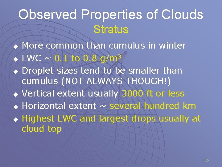
Observed Properties of Clouds Stratus u u u More common than cumulus in winter LWC ~ 0. 1 to 0. 8 g/m 3 Droplet sizes tend to be smaller than cumulus (NOT ALWAYS THOUGH!) Vertical extent usually 3000 ft or less Horizontal extent ~ several hundred km Highest LWC and largest drops usually at cloud top 36

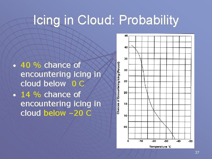
Icing in Cloud: Probability 40 % chance of encountering icing in cloud below 0 C • 14 % chance of encountering icing in cloud below – 20 C • 37

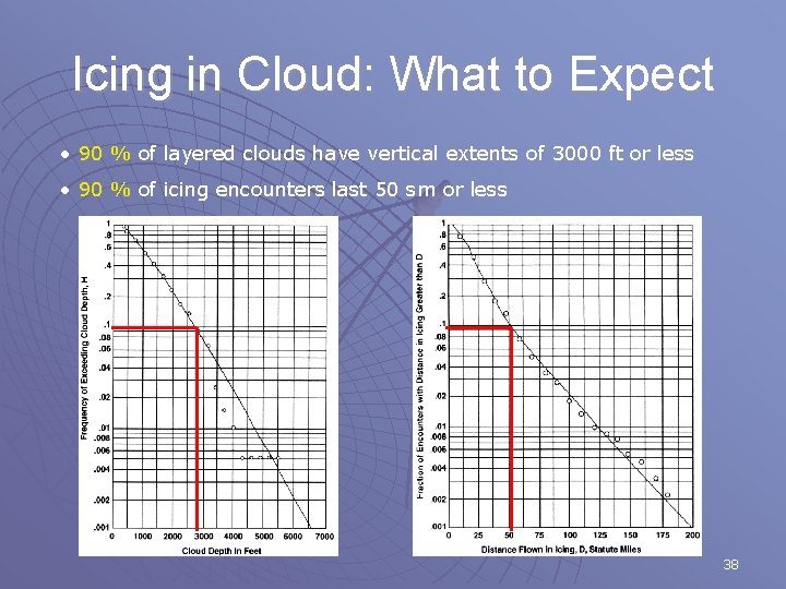
Icing in Cloud: What to Expect • 90 % of layered clouds have vertical extents of 3000 ft or less • 90 % of icing encounters last 50 sm or less 38

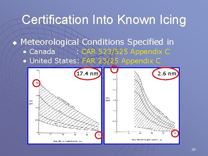
Certification Into Known Icing u Meteorological Conditions Specified in • Canada : CAR 523/525 Appendix C • United States: FAR 23/25 Appendix C 17. 4 nm 2. 6 nm 39

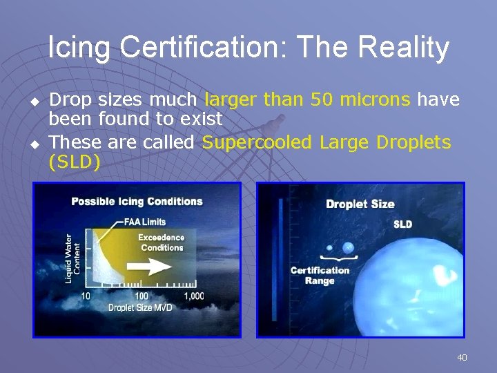
Icing Certification: The Reality u u Drop sizes much larger than 50 microns have been found to exist These are called Supercooled Large Droplets (SLD) 40

Dynamics of Icing 41

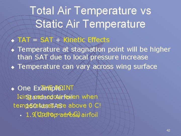
Total Air Temperature vs Static Air Temperature u TAT = SAT + Kinetic Effects Temperature at stagnation point will be higher than SAT due to local pressure increase Temperature can vary across wing surface u THE POINT One Example: u u Icing can occur even when • Standard Airfoil temperatures are above 0 C! • 150 kts TAS to ~across +4 C) airfoil • 1. 9(Up C drop 42

Types of Icing Clear (Glaze) u Rime u Mixed u 43

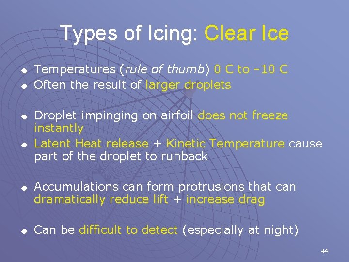
Types of Icing: Clear Ice u u u Temperatures (rule of thumb) 0 C to – 10 C Often the result of larger droplets Droplet impinging on airfoil does not freeze instantly Latent Heat release + Kinetic Temperature cause part of the droplet to runback Accumulations can form protrusions that can dramatically reduce lift + increase drag Can be difficult to detect (especially at night) 44

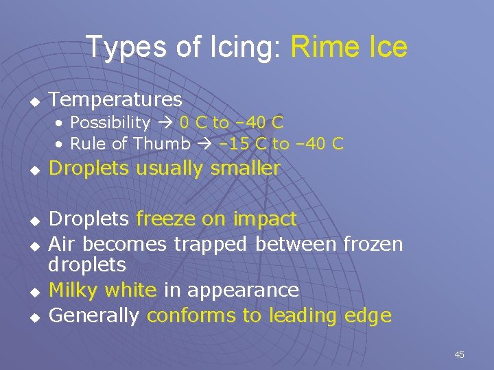
Types of Icing: Rime Ice u Temperatures • Possibility 0 C to – 40 C • Rule of Thumb – 15 C to – 40 C u u u Droplets usually smaller Droplets freeze on impact Air becomes trapped between frozen droplets Milky white in appearance Generally conforms to leading edge 45

Types of Icing: Mixed u u Temperatures (rule of thumb) – 10 C to – 15 C Encompasses a continuum between Rime and Clear Can form protrusions like Clear Ice but more white in colour Should be treated with the same level of caution 46

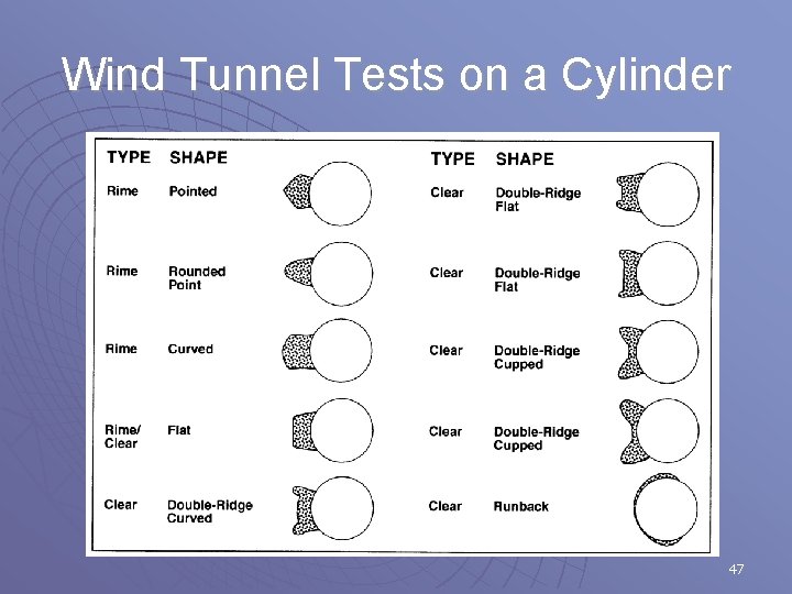
Wind Tunnel Tests on a Cylinder 47

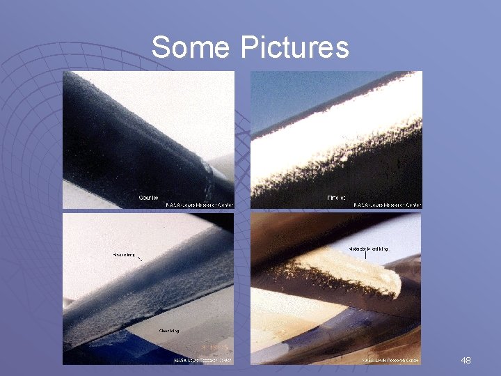
Some Pictures 48

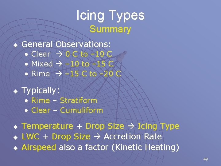
Icing Types Summary u General Observations: • • • u Typically: • • u u u Clear 0 C to – 10 C Mixed – 10 to – 15 C Rime – 15 C to – 20 C Rime – Stratiform Clear – Cumuliform Temperature + Drop Size Icing Type LWC + Drop Size Accretion Rate Airspeed also a factor (Kinetic Heating) 49

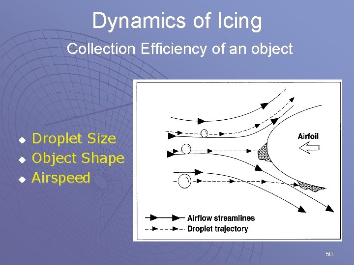
Dynamics of Icing Collection Efficiency of an object u u u Droplet Size Object Shape Airspeed 50

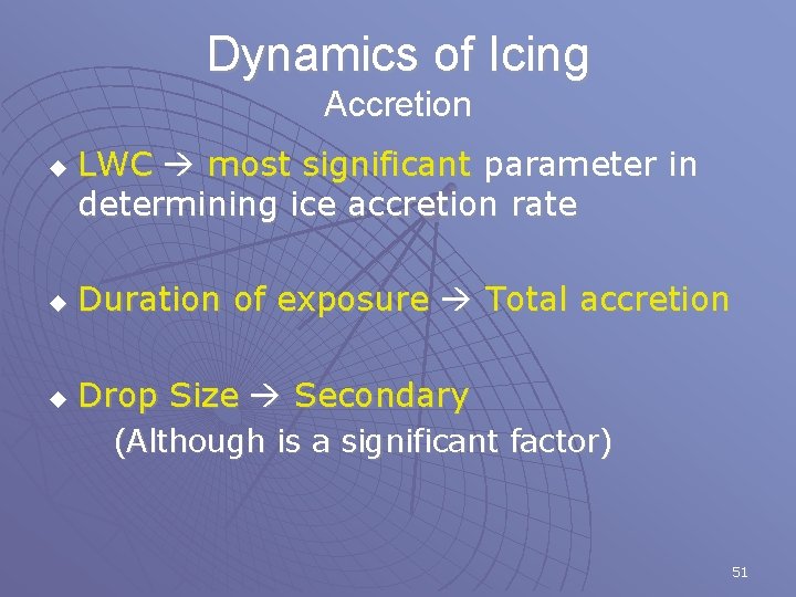
Dynamics of Icing Accretion u LWC most significant parameter in determining ice accretion rate u Duration of exposure Total accretion u Drop Size Secondary (Although is a significant factor) 51

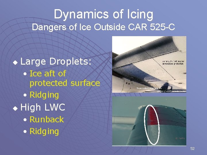
Dynamics of Icing Dangers of Ice Outside CAR 525 -C u Large Droplets: • Ice aft of protected surface • Ridging u High LWC • Runback • Ridging 52

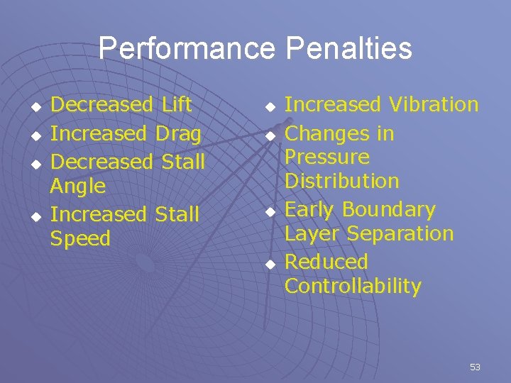
Performance Penalties u u Decreased Lift Increased Drag Decreased Stall Angle Increased Stall Speed u u Increased Vibration Changes in Pressure Distribution Early Boundary Layer Separation Reduced Controllability 53

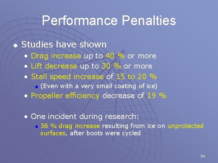
Performance Penalties u Studies have shown • • • Drag increase up to 40 % or more Lift decrease up to 30 % or more Stall speed increase of 15 to 20 % u (Even with a very small coating of ice) • Propeller efficiency decrease of 19 % • One incident during research: u 36 % drag increase resulting from ice on unprotected surfaces, after boots were cycled 54

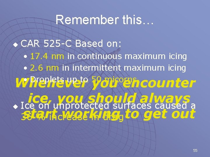
Remember this… u CAR 525 -C Based on: • 17. 4 nm in continuous maximum icing • 2. 6 nm in intermittent maximum icing • Droplets up to 50 micorns Whenever you encounter ice, you should always u Ice on unprotected surfaces caused a start working 36 % increase in drag to get out 55

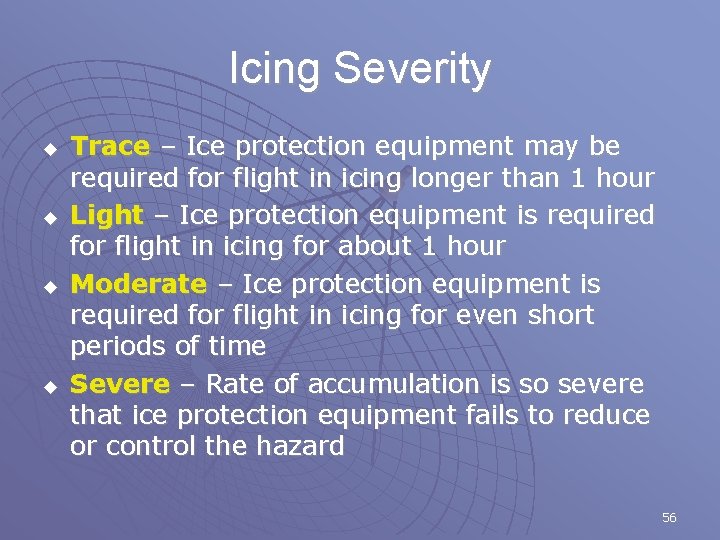
Icing Severity u u Trace – Ice protection equipment may be required for flight in icing longer than 1 hour Light – Ice protection equipment is required for flight in icing for about 1 hour Moderate – Ice protection equipment is required for flight in icing for even short periods of time Severe – Rate of accumulation is so severe that ice protection equipment fails to reduce or control the hazard 56

Flight Planning 57

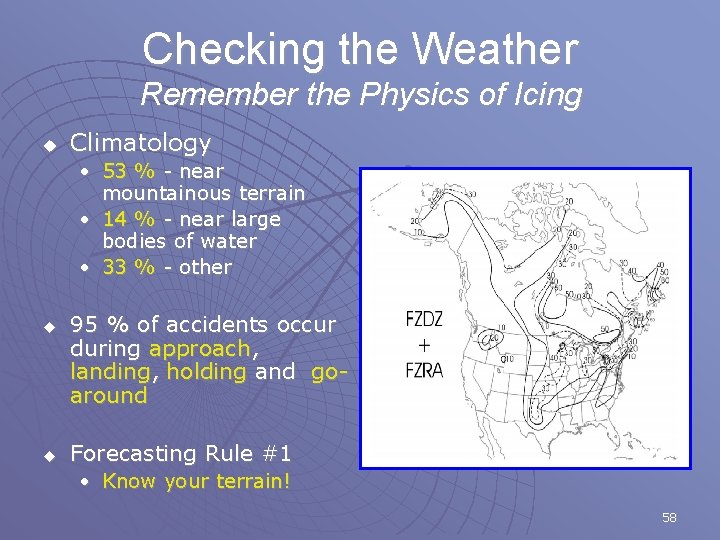
Checking the Weather Remember the Physics of Icing u Climatology • 53 % - near mountainous terrain • 14 % - near large bodies of water • 33 % - other u u 95 % of accidents occur during approach, landing, holding and goaround Forecasting Rule #1 • Know your terrain! 58

Checking the Weather Get the “BIG” Picture u Review Surface Analysis • Low Pressure Areas (Cyclones) • Fronts (Warm/Cold/Occluded) • Observe winds, look for areas of lift (Fronts, Terrain, Convergence, etc. . ) u Review the Upper Air Charts 59

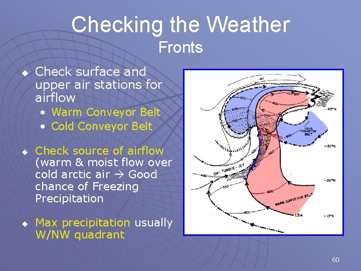
Checking the Weather Fronts u Check surface and upper air stations for airflow • Warm Conveyor Belt • Cold Conveyor Belt u u Check source of airflow (warm & moist flow over cold arctic air Good chance of Freezing Precipitation Max precipitation usually W/NW quadrant 60

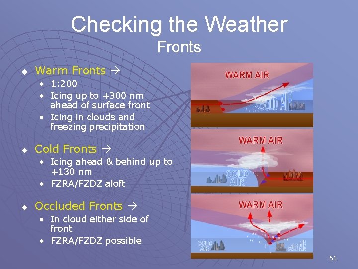
Checking the Weather Fronts u Warm Fronts • 1: 200 • Icing up to +300 nm ahead of surface front • Icing in clouds and freezing precipitation u Cold Fronts • Icing ahead & behind up to +130 nm • FZRA/FZDZ aloft u Occluded Fronts • In cloud either side of front • FZRA/FZDZ possible 61

Checking the Weather u Forecast Information • Graphical Area Forecasts (GFA) • Terminal Area Forecasts (TAF) • AIRMETS • SIGMETS u Observations • METARs • PIREPS MAKE SURE EVERYTHING AGREES! IF IT DOESN’T, UNDERSTAND WHY 62

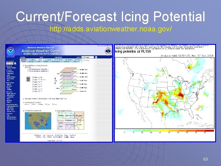
Current/Forecast Icing Potential http: //adds. aviationweather. noaa. gov/ 63

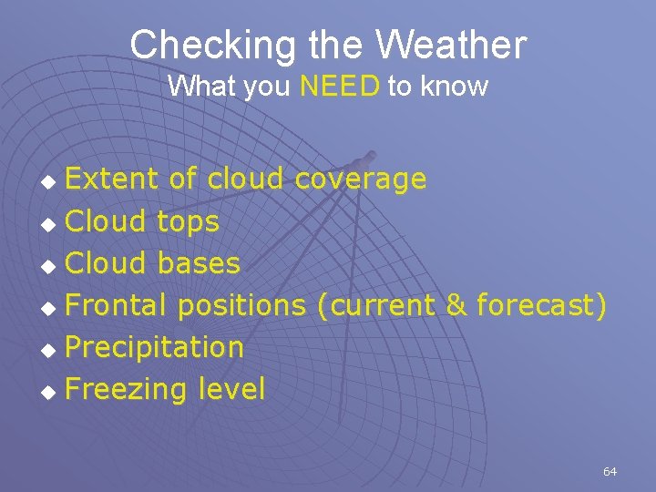
Checking the Weather What you NEED to know Extent of cloud coverage u Cloud tops u Cloud bases u Frontal positions (current & forecast) u Precipitation u Freezing level u 64

Filing the Flight Plan A Few Things to Remember ALWAYS HAVE AN OUT FOR EVERY PHASE OF THE FLIGHT! u Piston aircraft Reduced thrust margin • Usually cruise at 75 -85% power u u Iced wing will not climb as efficiently Be mindful of MEA Penetrate fronts at a 90 degree angle Fly on LEEWARD side of mountain ranges 65

Monitoring the Weather Don’t make it your last priority! u u A change in weather may warrant the cancellation of your flight Update Weather and Reassess your outs • PIREPS (Icing) • METARS (Clouds, Precipitation, Fronts) • Forecasts (Make sure they are holding) Canada (126. 7 MHz) & US (122. 0 MHz) 66

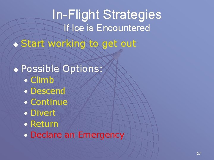
In-Flight Strategies If Ice is Encountered u Start working to get out u Possible Options: • Climb • Descend • Continue • Divert • Return • Declare an Emergency 67

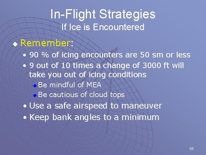
In-Flight Strategies If Ice is Encountered u Remember: • 90 % of icing encounters are 50 sm or less • 9 out of 10 times a change of 3000 ft will take you out of icing conditions Be mindful of MEA u Be cautious of cloud tops u • Use a safe airspeed to maneuver • Keep bank angles to a minimum 68

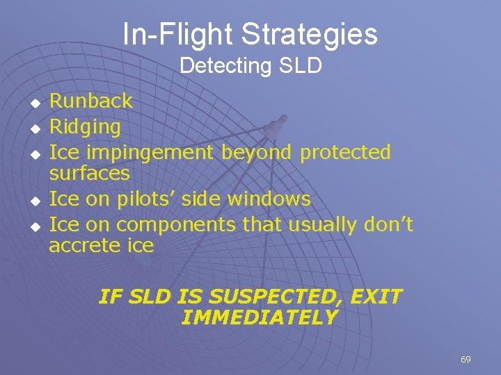
In-Flight Strategies Detecting SLD u u u Runback Ridging Ice impingement beyond protected surfaces Ice on pilots’ side windows Ice on components that usually don’t accrete ice IF SLD IS SUSPECTED, EXIT IMMEDIATELY 69

NASA Icing Video: Control Anomalies 70