TYPES of CLOUDS Stratocumulus Clouds Low lumpy layer
- Slides: 11

TYPES of CLOUDS

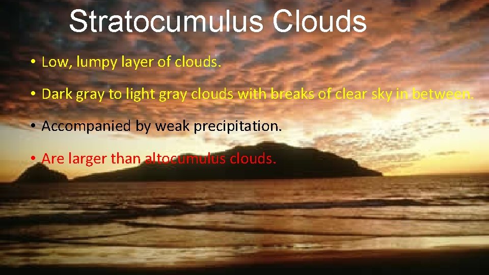
Stratocumulus Clouds • Low, lumpy layer of clouds. • Dark gray to light gray clouds with breaks of clear sky in between. • Accompanied by weak precipitation. • Are larger than altocumulus clouds.

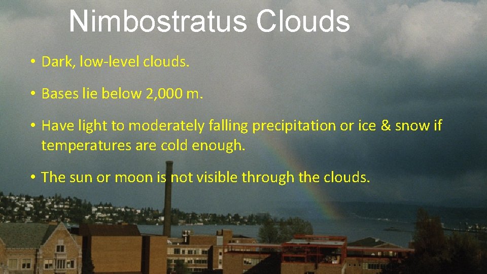
Nimbostratus Clouds • Dark, low-level clouds. • Bases lie below 2, 000 m. • Have light to moderately falling precipitation or ice & snow if temperatures are cold enough. • The sun or moon is not visible through the clouds.

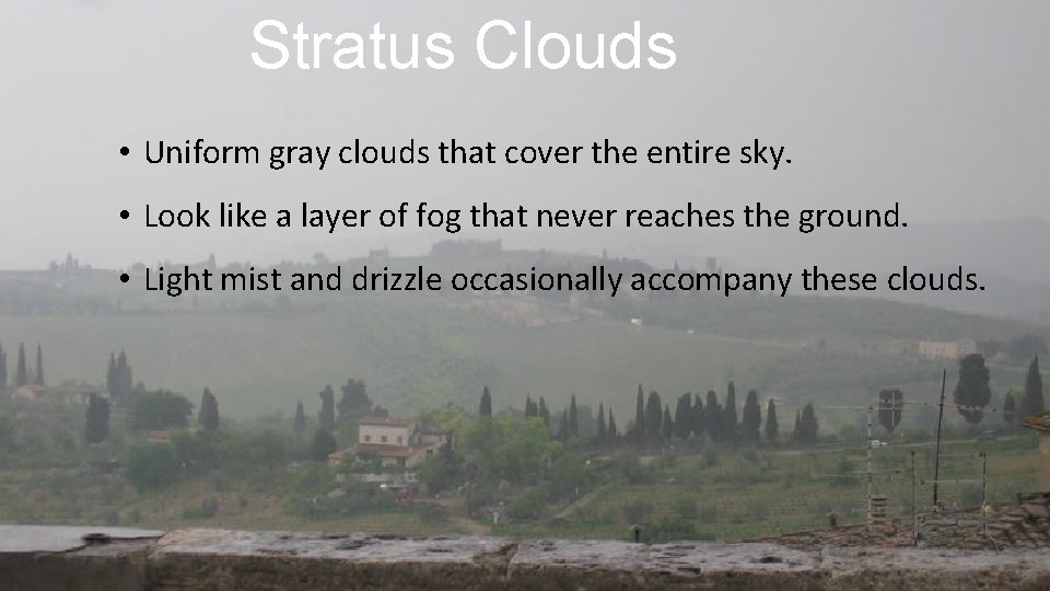
Stratus Clouds • Uniform gray clouds that cover the entire sky. • Look like a layer of fog that never reaches the ground. • Light mist and drizzle occasionally accompany these clouds.

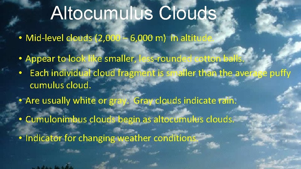
Altocumulus Clouds • Mid-level clouds (2, 000 – 6, 000 m) in altitude. • Appear to look like smaller, less-rounded cotton balls. • Each individual cloud fragment is smaller than the average puffy cumulus cloud. • Are usually white or gray. Gray clouds indicate rain. • Cumulonimbus clouds begin as altocumulus clouds. • Indicator for changing weather conditions.

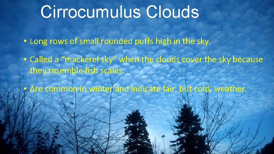
Cirrocumulus Clouds • Long rows of small rounded puffs high in the sky. • Called a “mackerel sky” when the clouds cover the sky because they resemble fish scales. • Are common in winter and indicate fair, but cold, weather.

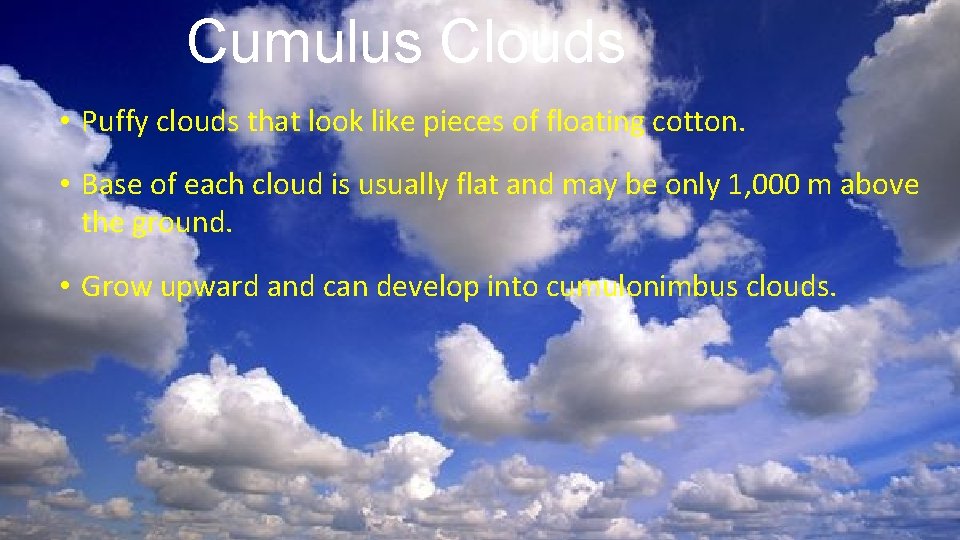
Cumulus Clouds • Puffy clouds that look like pieces of floating cotton. • Base of each cloud is usually flat and may be only 1, 000 m above the ground. • Grow upward and can develop into cumulonimbus clouds.

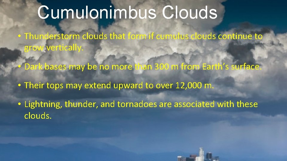
Cumulonimbus Clouds • Thunderstorm clouds that form if cumulus clouds continue to grow vertically. • Dark bases may be no more than 300 m from Earth’s surface. • Their tops may extend upward to over 12, 000 m. • Lightning, thunder, and tornadoes are associated with these clouds.

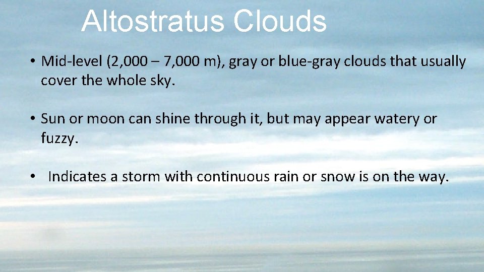
Altostratus Clouds • Mid-level (2, 000 – 7, 000 m), gray or blue-gray clouds that usually cover the whole sky. • Sun or moon can shine through it, but may appear watery or fuzzy. • Indicates a storm with continuous rain or snow is on the way.

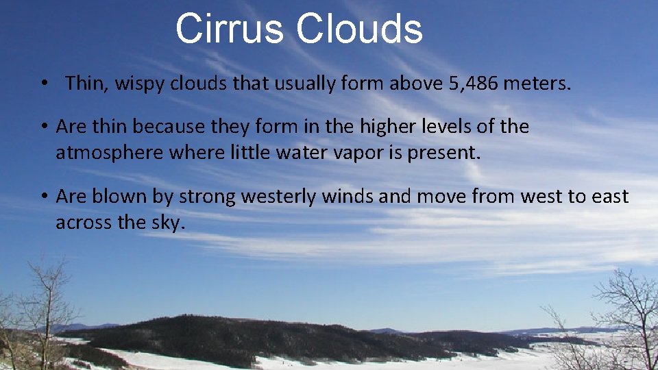
Cirrus Clouds • Thin, wispy clouds that usually form above 5, 486 meters. • Are thin because they form in the higher levels of the atmosphere where little water vapor is present. • Are blown by strong westerly winds and move from west to east across the sky.

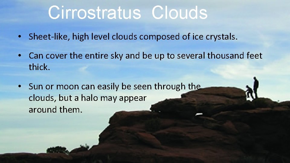
Cirrostratus Clouds • Sheet-like, high level clouds composed of ice crystals. • Can cover the entire sky and be up to several thousand feet thick. • Sun or moon can easily be seen through the clouds, but a halo may appear around them.