Tropical Cyclone Processing for the CFS Reanalysis Bob
Tropical Cyclone Processing for the CFS Reanalysis Bob Kistler

NWP TC Review • tcvital files – Worldwide observations of TC’s • Tropical Storm Relocation – TC in guess is located and bodily moved to tcvital location • Bogus vortex winds – If TC not found in guess, bogus vortex wind profiles are created to “spin-up” storm in GSI
tcvitals • NHC 16 L NOEL • Formatted storm text message 20071101 0000 229 N 0785 W 360 015 0995 1008 0334 26 093 0185 -999 0185 D identification, location, movement, strength • historical sources 1. 2. 3. 4. Mike Fiorino’s bogus wind profiles HURDAT archive /nwprod archive Mike Fiorino’s “mdeck” merge of 1, 2, 3
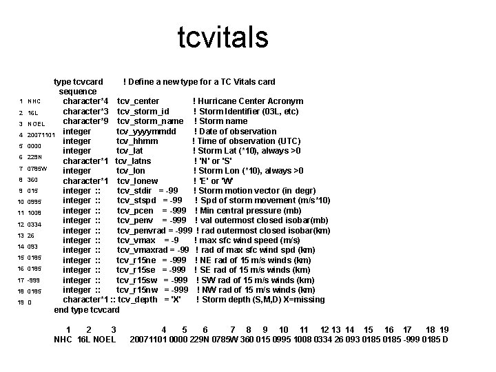
tcvitals 1 2 3 4 5 6 7 8 9 10 11 12 13 14 15 16 17 18 19 type tcvcard ! Define a new type for a TC Vitals card sequence NHC character*4 tcv_center ! Hurricane Center Acronym character*3 tcv_storm_id ! Storm Identifier (03 L, etc) 16 L character*9 tcv_storm_name ! Storm name NOEL tcv_yyyymmdd ! Date of observation 20071101 integer tcv_hhmm ! Time of observation (UTC) 0000 integer tcv_lat ! Storm Lat (*10), always >0 229 N character*1 tcv_latns ! 'N' or 'S' 0785 W integer tcv_lon ! Storm Lon (*10), always >0 360 character*1 tcv_lonew ! 'E' or 'W' 015 integer : : tcv_stdir = -99 ! Storm motion vector (in degr) integer : : tcv_stspd = -99 ! Spd of storm movement (m/s*10) 0995 integer : : tcv_pcen = -999 ! Min central pressure (mb) 1008 integer : : tcv_penv = -999 ! val outermost closed isobar(mb) 0334 integer : : tcv_penvrad = -999 ! rad outermost closed isobar(km) 26 integer : : tcv_vmax = -9 ! max sfc wind speed (m/s) 093 integer : : tcv_vmaxrad = -99 ! rad of max sfc wind spd (km) 0185 integer : : tcv_r 15 ne = -999 ! NE rad of 15 m/s winds (km) 0185 integer : : tcv_r 15 se = -999 ! SE rad of 15 m/s winds (km) -999 integer : : tcv_r 15 sw = -999 ! SW rad of 15 m/s winds (km) integer : : tcv_r 15 nw = -999 ! NW rad of 15 m/s winds (km) 0185 character*1 : : tcv_depth = 'X' ! Storm depth (S, M, D) X=missing D end type tcvcard 1 2 3 NHC 16 L NOEL 4 5 6 7 8 9 10 11 12 13 14 15 16 17 18 19 20071101 0000 229 N 0785 W 360 015 0995 1008 0334 26 093 0185 -999 0185 D
Hurricane Initializations in NCEP Numerical Models Qingfu Liu Acknowledgement: Naomi Surgi Steve Lord Hua-Lu Pan EMC/NCEP/NOAA/SAIC
Brief History of Hurricane Forecast in NCEP global model (GFS) • Prior to 1995, no storm genesis in NCEP global model. Bogus data are added in 1989. tropical storms in the initial conditions defined by the bogus data weakened and becomes open wave in medium range forecast • In Oct. 1995, the newly implemented version of the NCEP global model started to generate and deepen tropical storms. The new version not only forecast real storm genesis, but also created many false storms. The false storms passed to next cycle through first guess, and continue to develop and lead to many bad forecast in a row. • In 2000, cloud momentum mixing was added to the simplified Arakawa-Schubert scheme, significantly suppressed the false storm formation
• Two vortices in the global analysis Storms existing in the first guess often are weak and large compared to the observed storms, and the center located away from the real storm center. Adding bogus storm data (and forcing the GSI to accept the data) will often lead to two vortices in the same region, one from the first guess and the other from the bogus data. This two vortices interact each other and often leads to very bad forecast. • Prompted development of TC relocation
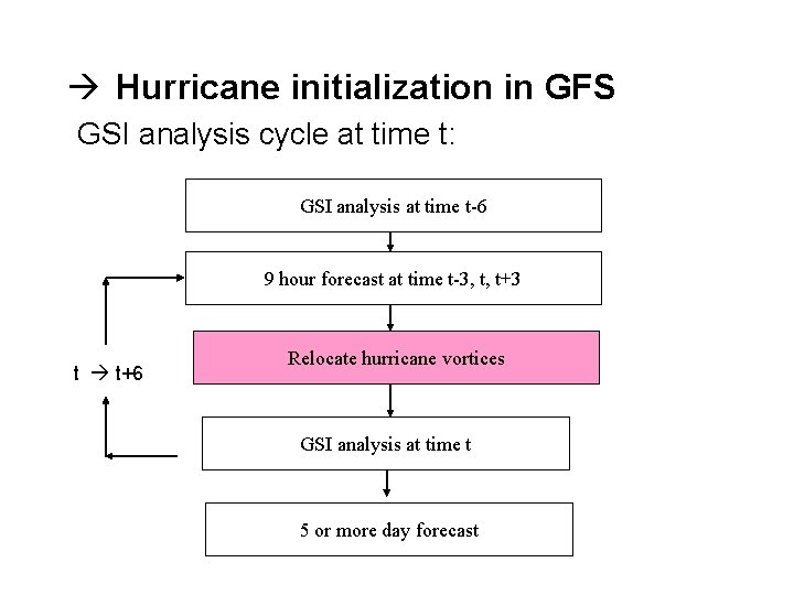
Hurricane initialization in GFS GSI analysis cycle at time t: GSI analysis at time t-6 9 hour forecast at time t-3, t, t+3 t t+6 Relocate hurricane vortices GSI analysis at time t 5 or more day forecast
Hurricane Relocation in GFS • Locate vortex center in t-3, t and t+3 forecast fields TC vital message lon, lat, max surface wind, min central press, etc. Tracker software 700 & 850 mb: max relative vorticity, min wind speed and min geopotential height sea-level press • Separate hurricane vortex from environmental fields • Relocate hurricane vortex to the observed storm position (divergence, vorticity, surface pressure, temperature, and mixing ratio) • If the storm is too weak in the forecast fields, storm bogus data will be added in GSI analysis
Advantages Compared to Storm Bogus • Removes the possibility of double vortices in the analysis field • Guess field is more consistent with observation data, and less data are rejected • Model generated vortex is more consistent with model dynamics, and less adjustment needed once forecast starts • Hurricane dynamic structures, such as tilted hurricane vortex in shear or baroclinic environment, will be maintained in hurricane relocation
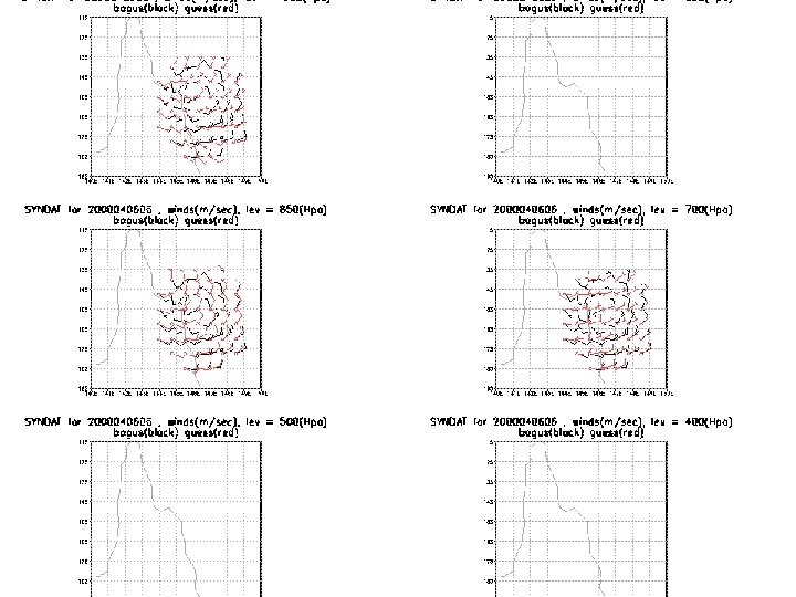
Bogus vortex winds • Program SYNDATA – – requires full tcvital report • i. e central p, max wind, radius max winds • Will fail with incomplete HURDAT or Fiorino report – 2 nd execution performs QC near TC vortex • Flag non-representative reports – central pressure reports – dropwindsone winds
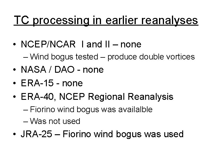
TC processing in earlier reanalyses • NCEP/NCAR I and II – none – Wind bogus tested – produce double vortices • NASA / DAO - none • ERA-15 - none • ERA-40, NCEP Regional Reanalysis – Fiorino wind bogus was availalble – Was not used • JRA-25 – Fiorino wind bogus was used
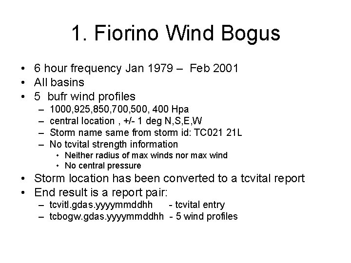
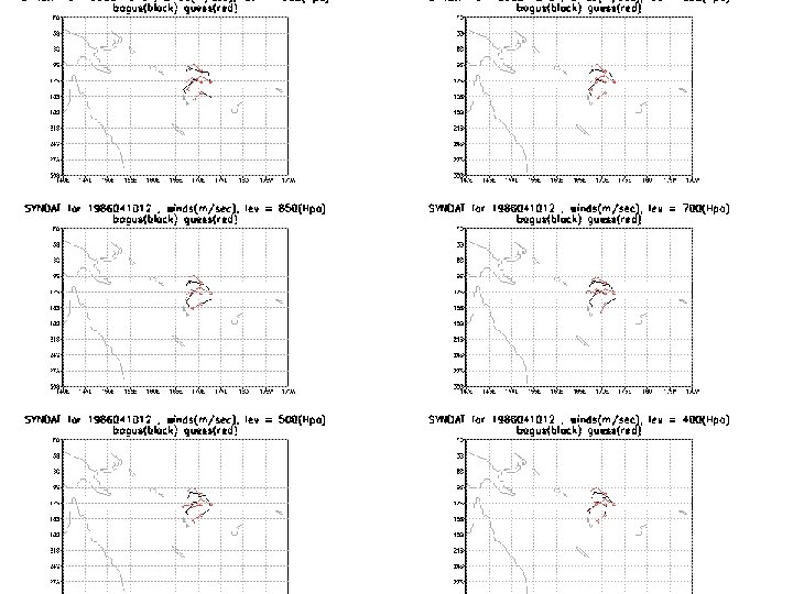
1. Fiorino Wind Bogus • 6 hour frequency Jan 1979 – Feb 2001 • All basins • 5 bufr wind profiles – – 1000, 925, 850, 700, 500, 400 Hpa central location , +/- 1 deg N, S, E, W Storm name same from storm id: TC 021 21 L No tcvital strength information • Neither radius of max winds nor max wind • No central pressure • Storm location has been converted to a tcvital report • End result is a report pair: – tcvitl. gdas. yyyymmddhh - tcvital entry – tcbogw. gdas. yyyymmddhh - 5 wind profiles
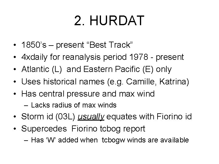
2. HURDAT • • • 1850’s – present “Best Track” 4 xdaily for reanalysis period 1978 - present Atlantic (L) and Eastern Pacific (E) only Uses historical names (e. g. Camille, Katrina) Has central pressure and max wind – Lacks radius of max winds • Storm id (03 L) usually equates with Fiorino id • Supercedes Fiorino tcbog report – Has ‘W’ added when tcbogw winds are available
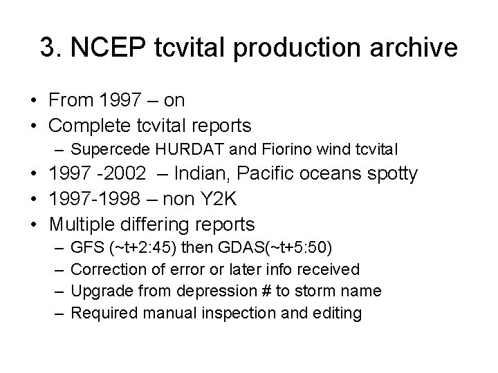
3. NCEP tcvital production archive • From 1997 – on • Complete tcvital reports – Supercede HURDAT and Fiorino wind tcvital • 1997 -2002 – Indian, Pacific oceans spotty • 1997 -1998 – non Y 2 K • Multiple differing reports – – GFS (~t+2: 45) then GDAS(~t+5: 50) Correction of error or later info received Upgrade from depression # to storm name Required manual inspection and editing
Bogus vortex winds • New program: TCBOG_SYNDATA – Alternative to existing SYNDATA • Runs identical QC of central p. , drop. winds – invoked for incomplete tcvital records • Hurdat reports marked “W” • Fiorino tcvital reports – If relocation indicates vortex spin-up: • matches tcvitl and tcbogw reports • Converts the tcbogw profiles for input to GSI
Fiorino “mdeck” • Just received on Monday, 11/05/2007 – Awaiting comparison with existing sets • Fills a gap in production archive – missing Jan – Mar 2002 • Merge of historical best tracks – HURDAT/TCVITAL type files for all basins – Contains historical names
- Slides: 20