
Trimble Quantm Haul Road Optimization Presenters Name Overview

Trimble Quantm Haul Road Optimization Presenters Name
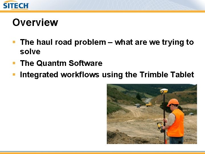
Overview § The haul road problem – what are we trying to solve § The Quantm Software § Integrated workflows using the Trimble Tablet

Haul roads § The main consideration is optimal grade – Reduce fuel consumption – Reduce tire wear – Reduce machine wear § Two main consideration for haul roads – Maintenance, performing analysis on existing haul roads to maintain or improve haul road grade – Site expansion, preforming analysis to create and select new haul roads
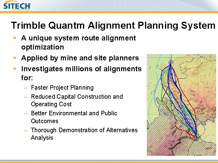
Trimble Quantm Alignment Planning System § A unique system route alignment optimization § Applied by mine and site planners § Investigates millions of alignments for: – Faster Project Planning – Reduced Capital Construction and Operating Cost – Better Environmental and Public Outcomes – Thorough Demonstration of Alternatives Analysis

Trimble Quantm Alignment Planning System § Enables the simultaneous consideration of multiple factors during the alternatives analysis phase: – – Environmental Engineering Economic/Cost Community

Trimble Quantm Desktop Applications § Planning of haul roads for mining and construction § Traditional alignment planning § Estimation and initial management of project earthworks and mass haul § Design construct value engineering § Alternative analysis during construction
Trimble Quantm Desktop § Key feature – Vertical Optimization – Import CAD road design (horizontal only or 3 D) § If 3 D, quantity and construction cost of the alignment is calculated – Manual creation and editing horizontal alignment – Vertical optimization of existing design if 3 D alignment imported – Vertical optimization and creation of vertical design for 2 D or manual 2 D alignment – Study are size, 10 km x 10 km or 20 km x 20 km licenses § Why buy Desktop? – – Entry level solution – scalable to Premium and Service products Manual creation of geometric alignments with quantities and costs Vertical-only optimization, horizontal held fixed Assists earthworks and costs by manipulating vertical of existing alignment

Trimble Quantm Desktop Premium § Key features – Full Optimization – Full horizontal and vertical optimization capabilities in addition to Desktop version § Unseeded - Free to roam optimizations § Seeded - Optimize from initial alignment both horizontally and vertically § Realignment - optimize based on minimizing deviation from existing centreline – 10 x 10, or 20 x 20 km licenses § Why buy Desktop Premium? – Proven capabilities of the Quantm service on the users PC – Optimize existing concept designs vertically – Conduct full scoping, feasibility and final alignment studies, from defining corridors to detailed 3 D alignments

Trimble Quantm Haul Road Optimization How It Works

Trimble Quantm Desktop Overview Project Data Digital Terrain Model (DTM) Quantm generates optimized alignments for review Land Use Constraints Unit Construction Costs Operator reviews alignments Alignment Geometry Road/rail/river Crossing Rules Geology Operator makes changes and resubmits

Study Area – Mountainous Terrain (5 -8 km Road) • • Digital Terrain Model Geometric Parameters Costs Constraints
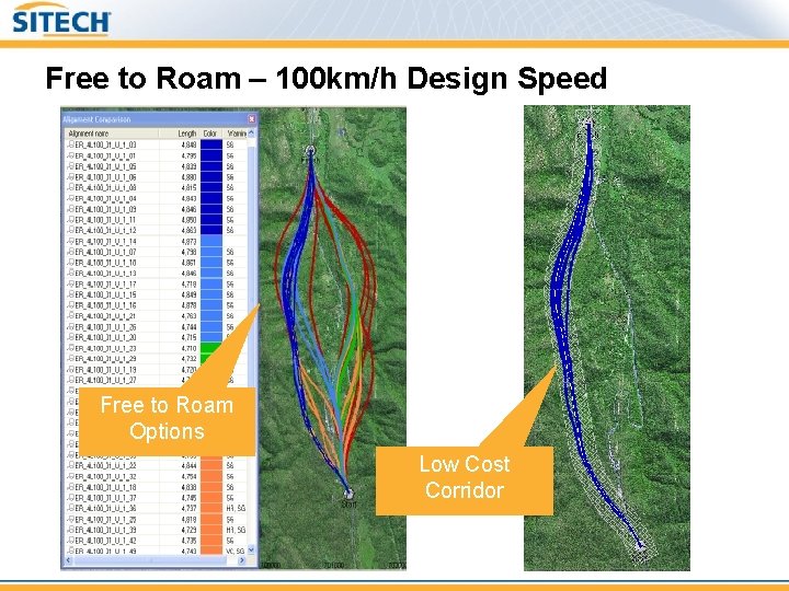
Free to Roam – 100 km/h Design Speed Free to Roam Options Low Cost Corridor

Comparing Haul Roads Comparing Quantm Developed existing Initial haul road Option
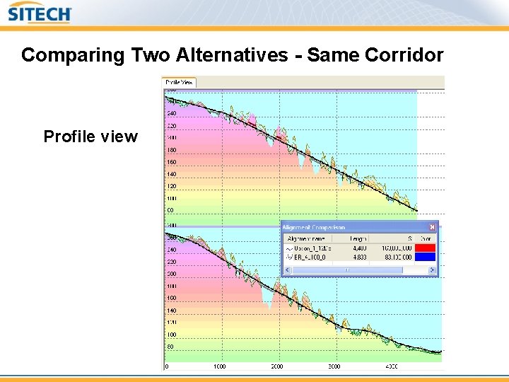
Comparing Two Alternatives - Same Corridor Profile view
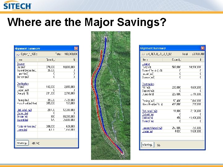
Where are the Major Savings?

Trimble Quantm Haul Road Optimization Haul Road Construction

Infield Haul road definition Quantm Desktop SCS 900 *. ttm; *. pro; *. dxf *. ttm; *. dc Alignments, *. ttm; *. pro; *. dxf *. svd; *. svl Grade Control *. tag Business Center - HCE
In field Haul road workflow 1. Use SCS 900 to collect existing Topo information and features. 2. Transfer TTM surface and feature data from SCS 900 to Quantm Desktop (on Tablet) § § Maintenance applications collect existing centreline of haul road for vertical optimization, in addition to site features. New haul roads collect any features (streams, water features etc) 3. Switch to Quantm Desktop and perform optimization 4. Transfer resulting haul alignments back to SCS 900 for stakeout
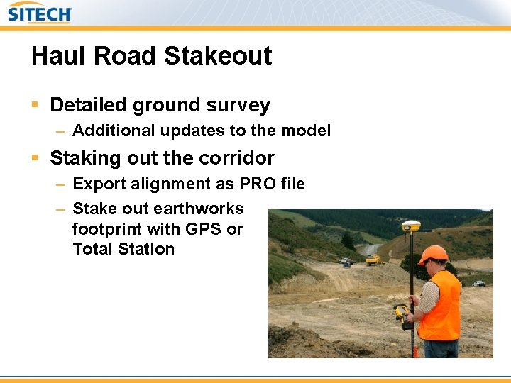
Haul Road Stakeout § Detailed ground survey – Additional updates to the model § Staking out the corridor – Export alignment as PRO file – Stake out earthworks footprint with GPS or Total Station
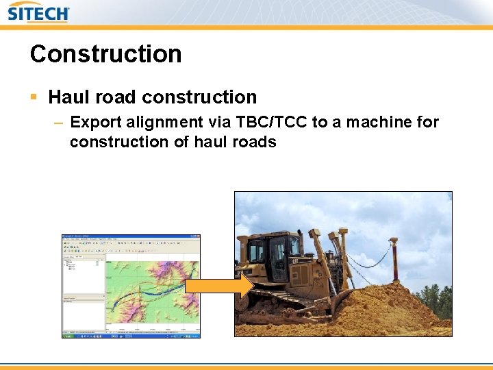
Construction § Haul road construction – Export alignment via TBC/TCC to a machine for construction of haul roads

Thank you
- Slides: 21