
Tracking threatened seabirds in the Namibian Islands Marine
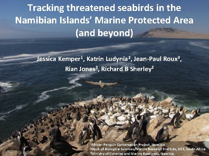
Tracking threatened seabirds in the Namibian Islands’ Marine Protected Area (and beyond) Jessica Kemper 1, Katrin Ludynia 2, Jean-Paul Roux 3, Rian Jones 3, Richard B Sherley 2 1 African Penguin Conservation Project, Namibia of Biological Sciences/Marine Research Institute, UCT, South Africa 3 Ministry of Fisheries and Marine Resources, Namibia 2 Dept.
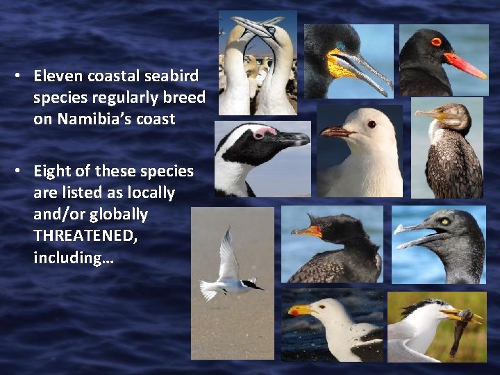
• Eleven coastal seabird species regularly breed on Namibia’s coast • Eight of these species are listed as locally and/or globally THREATENED, including…
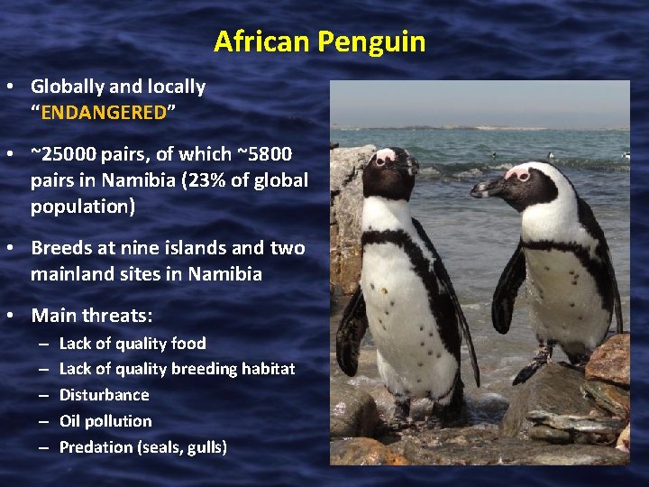
African Penguin • Globally and locally “ENDANGERED” • ~25000 pairs, of which ~5800 pairs in Namibia (23% of global population) • Breeds at nine islands and two mainland sites in Namibia • Main threats: – – – Lack of quality food Lack of quality breeding habitat Disturbance Oil pollution Predation (seals, gulls)
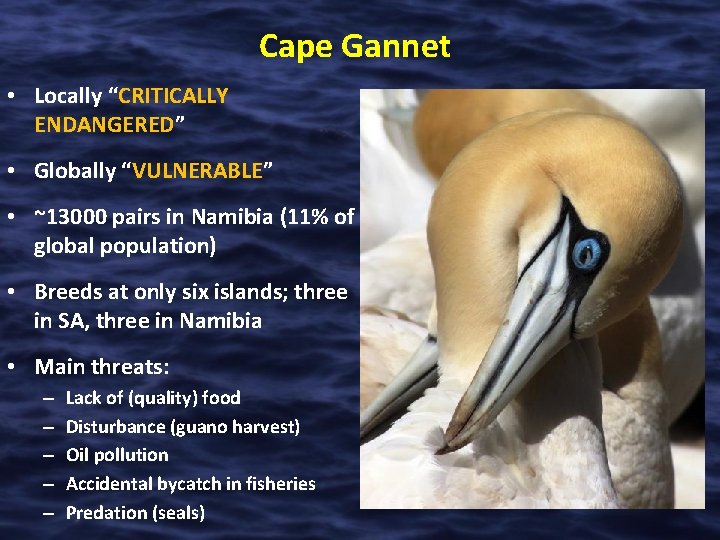
Cape Gannet • Locally “CRITICALLY ENDANGERED” • Globally “VULNERABLE” • ~13000 pairs in Namibia (11% of global population) • Breeds at only six islands; three in SA, three in Namibia • Main threats: – – – Lack of (quality) food Disturbance (guano harvest) Oil pollution Accidental bycatch in fisheries Predation (seals)
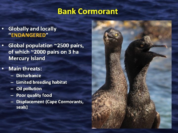
Bank Cormorant • Globally and locally “ENDANGERED” • Global population ~2500 pairs, of which ~2000 pairs on 3 ha Mercury Island • Main threats: – – – Disturbance Limited breeding habitat Oil pollution Poor quality food Displacement (Cape Cormorants, seals)
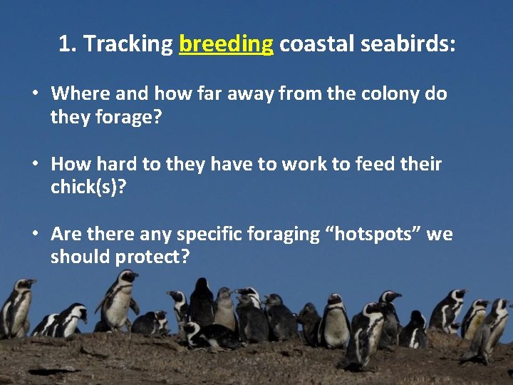
1. Tracking breeding coastal seabirds: • Where and how far away from the colony do they forage? • How hard to they have to work to feed their chick(s)? • Are there any specific foraging “hotspots” we should protect?
African Penguins: Using GPS Tdlog data loggers: • Devices made by earth&OCEAN technologies (expensive but reliable) • Records position at sea every 2 -15 minutes, accuracy 10 -20 m • Temperature and pressure sensors allow analysis of dive profiles, i. e. how often, how long, how deep birds dive during foraging trips • Device design evolving, getting smaller, lighter, more reliable and efficient
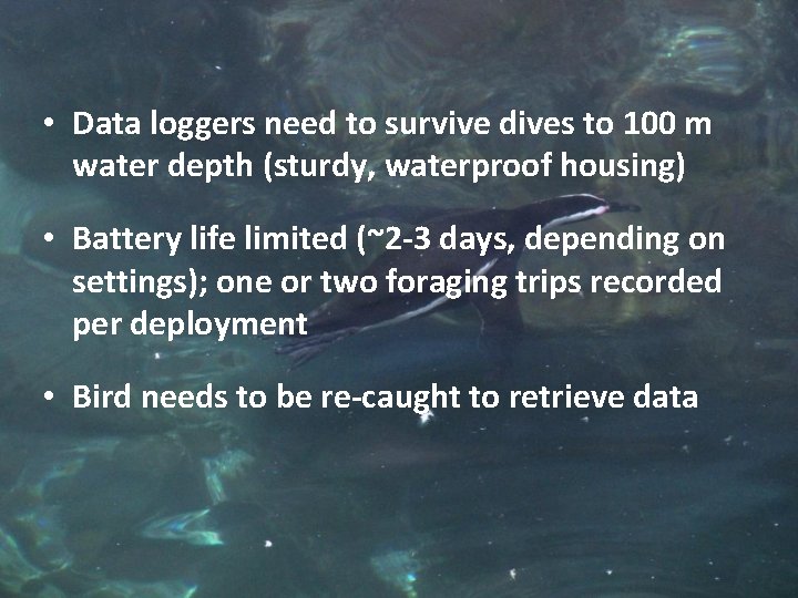
• Data loggers need to survive dives to 100 m water depth (sturdy, waterproof housing) • Battery life limited (~2 -3 days, depending on settings); one or two foraging trips recorded per deployment • Bird needs to be re-caught to retrieve data
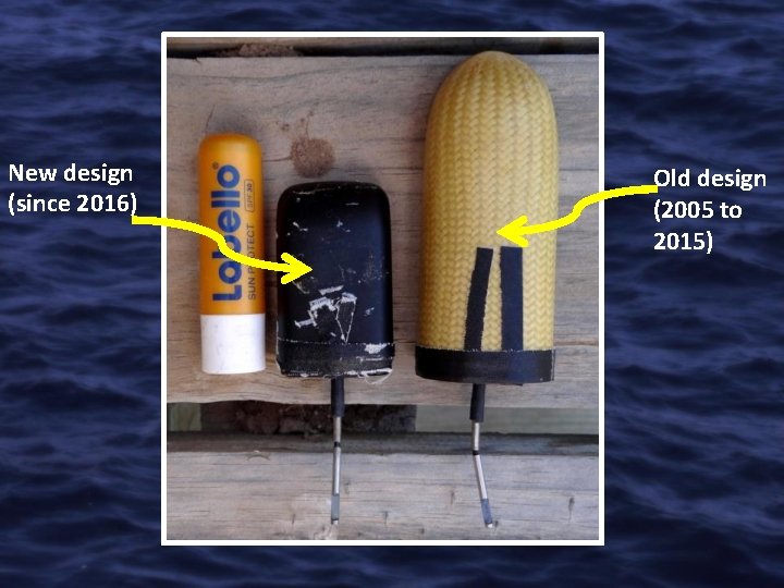
New design (since 2016) Old design (2005 to 2015)
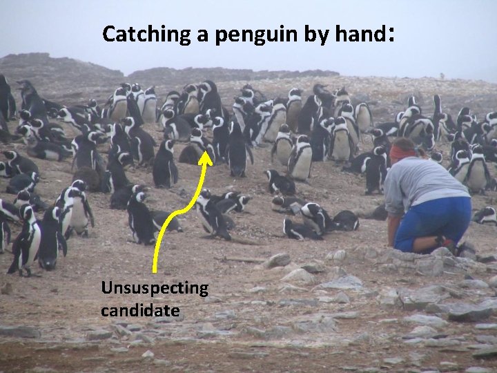
Catching a penguin by hand: Unsuspecting candidate
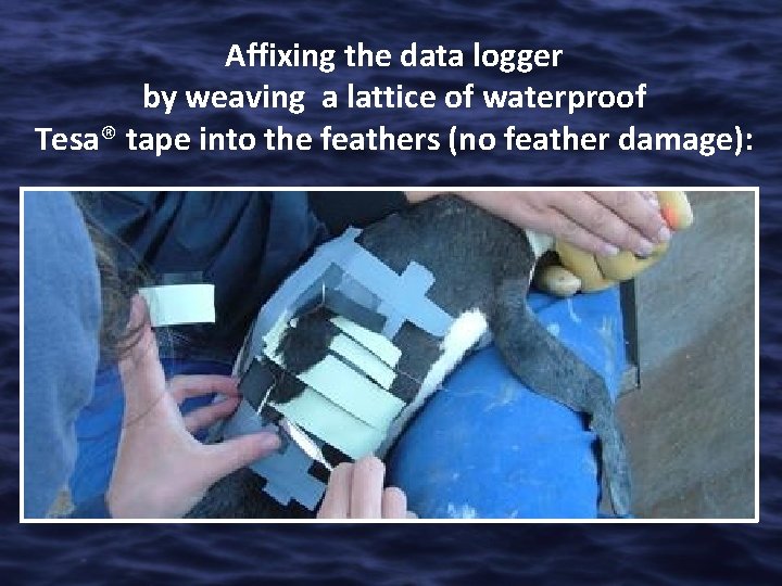
Affixing the data logger by weaving a lattice of waterproof Tesa® tape into the feathers (no feather damage):
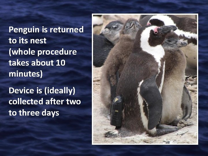
Penguin is returned to its nest (whole procedure takes about 10 minutes) Device is (ideally) collected after two to three days
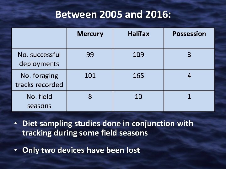
Between 2005 and 2016: Mercury Halifax Possession No. successful deployments 99 109 3 No. foraging tracks recorded 101 165 4 No. field seasons 8 10 1 • Diet sampling studies done in conjunction with tracking during some field seasons • Only two devices have been lost
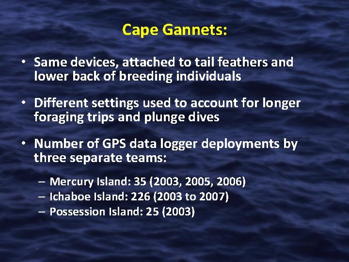
Cape Gannets: • Same devices, attached to tail feathers and lower back of breeding individuals • Different settings used to account for longer foraging trips and plunge dives • Number of GPS data logger deployments by three separate teams: – Mercury Island: 35 (2003, 2005, 2006) – Ichaboe Island: 226 (2003 to 2007) – Possession Island: 25 (2003)
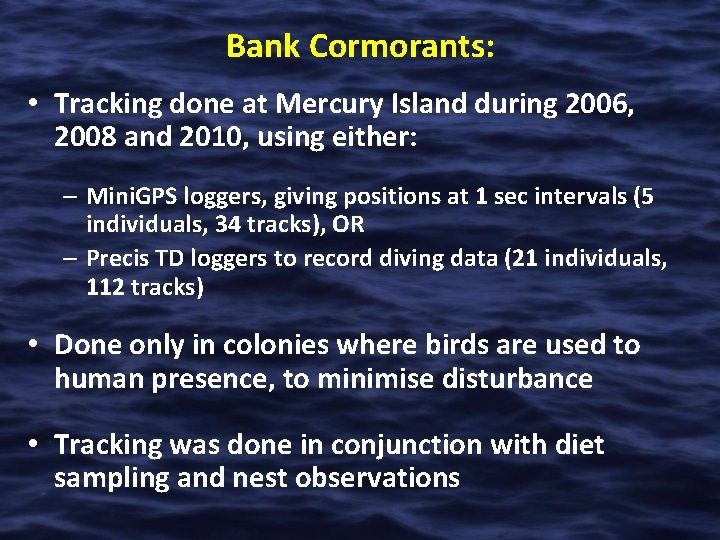
Bank Cormorants: • Tracking done at Mercury Island during 2006, 2008 and 2010, using either: – Mini. GPS loggers, giving positions at 1 sec intervals (5 individuals, 34 tracks), OR – Precis TD loggers to record diving data (21 individuals, 112 tracks) • Done only in colonies where birds are used to human presence, to minimise disturbance • Tracking was done in conjunction with diet sampling and nest observations
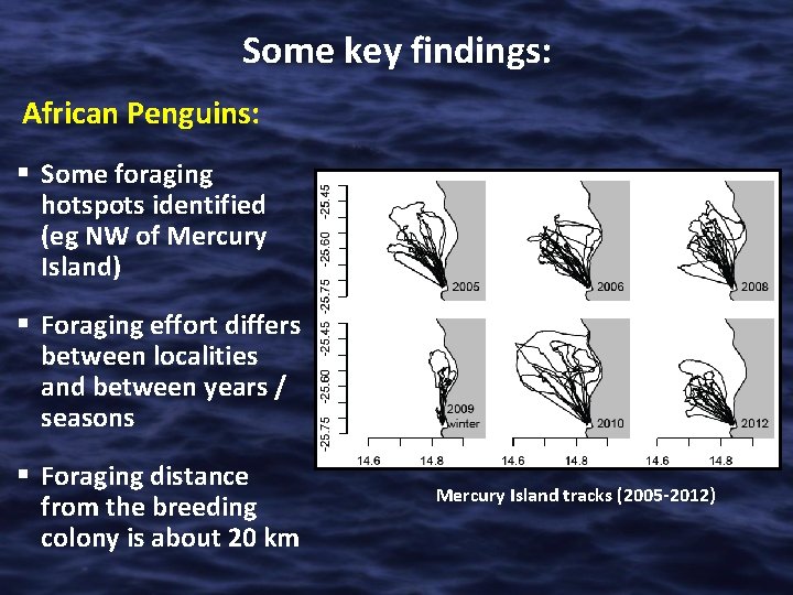
Some key findings: African Penguins: § Some foraging hotspots identified (eg NW of Mercury Island) § Foraging effort differs between localities and between years / seasons § Foraging distance from the breeding colony is about 20 km Mercury Island tracks (2005 -2012)
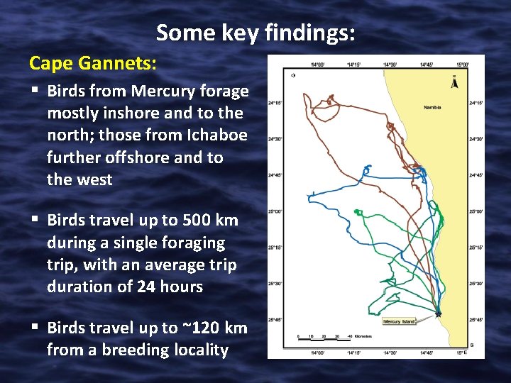
Some key findings: Cape Gannets: § Birds from Mercury forage mostly inshore and to the north; those from Ichaboe further offshore and to the west § Birds travel up to 500 km during a single foraging trip, with an average trip duration of 24 hours § Birds travel up to ~120 km from a breeding locality
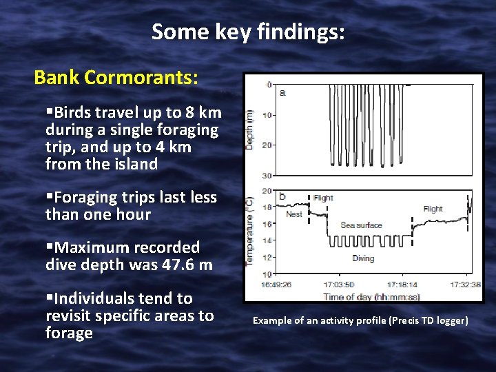
Some key findings: Bank Cormorants: §Birds travel up to 8 km during a single foraging trip, and up to 4 km from the island §Foraging trips last less than one hour §Maximum recorded dive depth was 47. 6 m §Individuals tend to revisit specific areas to forage Example of an activity profile (Precis TD logger)
Designing the Namibian Islands’ Marine Protected Area (NIMPA) Principal aim of the NIMPA is to protect: breeding sites key foraging areas/ranges of Nambia’s threatened coastal seabirds
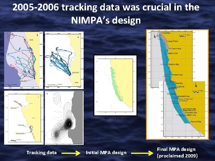
2005 -2006 tracking data was crucial in the NIMPA’s design Tracking data Initial MPA design Final MPA design (proclaimed 2009)
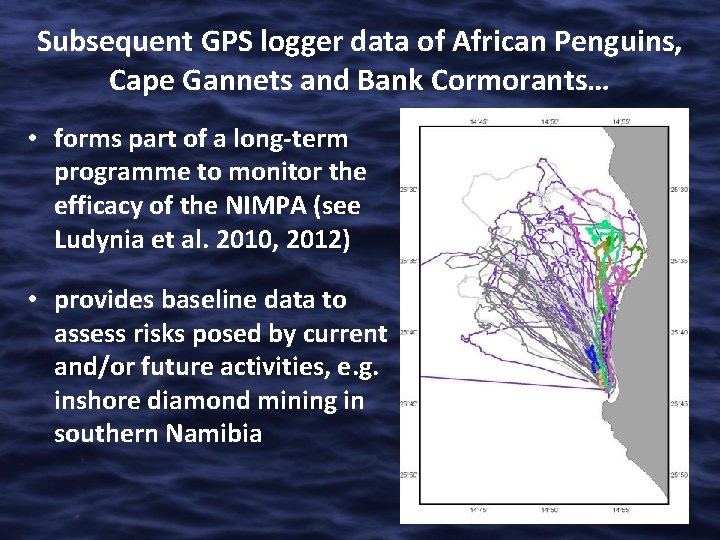
Subsequent GPS logger data of African Penguins, Cape Gannets and Bank Cormorants… • forms part of a long-term programme to monitor the efficacy of the NIMPA (see Ludynia et al. 2010, 2012) • provides baseline data to assess risks posed by current and/or future activities, e. g. inshore diamond mining in southern Namibia
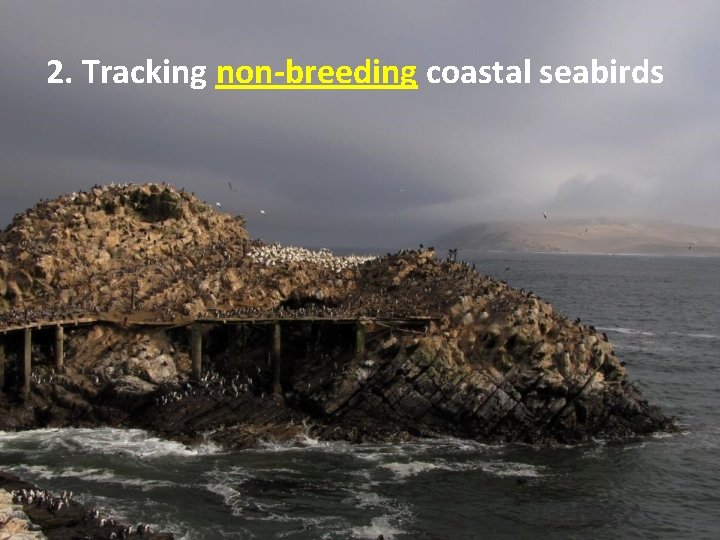
2. Tracking non-breeding coastal seabirds
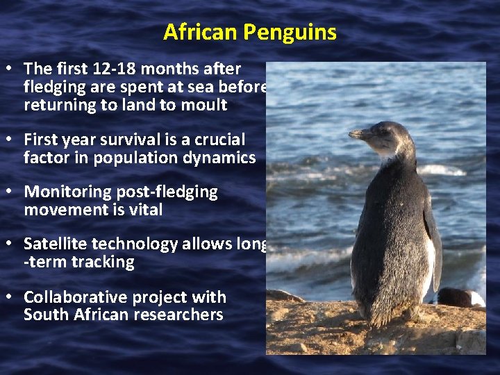
African Penguins • The first 12 -18 months after fledging are spent at sea before returning to land to moult • First year survival is a crucial factor in population dynamics • Monitoring post-fledging movement is vital • Satellite technology allows long -term tracking • Collaborative project with South African researchers
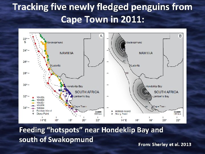
Tracking five newly fledged penguins from Cape Town in 2011: Feeding “hotspots” near Hondeklip Bay and south of Swakopmund From: Sherley et al. 2013
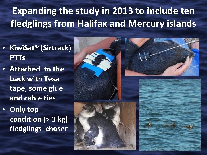
Expanding the study in 2013 to include ten fledglings from Halifax and Mercury islands • Kiwi. Sat® (Sirtrack) PTTs • Attached to the back with Tesa tape, some glue and cable ties • Only top condition (> 3 kg) fledglings chosen
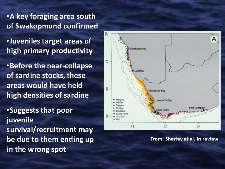
• A key foraging area south of Swakopmund confirmed • Juveniles target areas of high primary productivity • Before the near-collapse of sardine stocks, these areas would have held high densities of sardine • Suggests that poor juvenile survival/recruitment may be due to them ending up in the wrong spot From: Sherley et al. in review
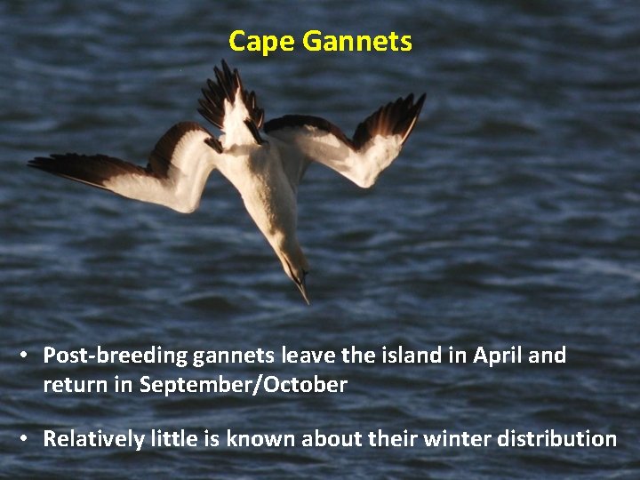
Cape Gannets • Post-breeding gannets leave the island in April and return in September/October • Relatively little is known about their winter distribution
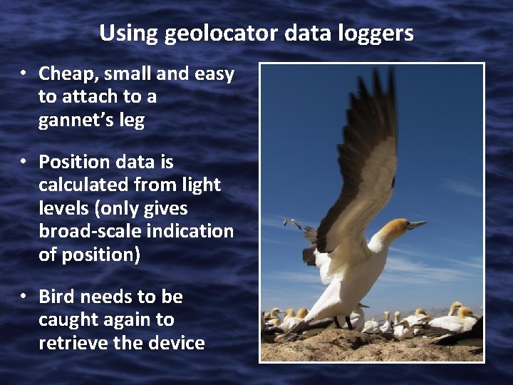
Using geolocator data loggers • Cheap, small and easy to attach to a gannet’s leg • Position data is calculated from light levels (only gives broad-scale indication of position) • Bird needs to be caught again to retrieve the device
Pilot project (2013) • 20 chick-rearing gannets from Mercury Island 8 birds from Ichaboe Island were equipped • 16 devices from Mercury Island none from Ichaboe Island were retrieved after winter • Analysis of collected data is ongoing (watch this space…)
Conclusions • Extremely valuable insights have been gained so far from tracking some of our threatened coastal seabirds • Tracking, particularly of African Penguins, continues • The growing time series can (and should) be used for – Marine spatial management planning – Conservation management – Fisheries management (EAF )
A big thank you to: • MFMR • NACOMA • Namdeb • University of Kiel • CNRS • NNF • Shell Namibia Upstream BV • British Ornithologists’ Union • Percy Fitzpatrick Institute, UCT • Department of Environmental Affairs, SA • Seacode Research Group For further information or publication reprints contact me on jkemper 01@gmail. com
- Slides: 31