Topography How to create and read a topographical


- Slides: 11
Topography How to create and read a topographical map
Calhoun
BASICS Contour lines are lines drawn on a map connecting points of equal elevation. If you walk along a contour line you neither gain or lose elevation. Contour Lines show elevation.
New Orleans Tombs
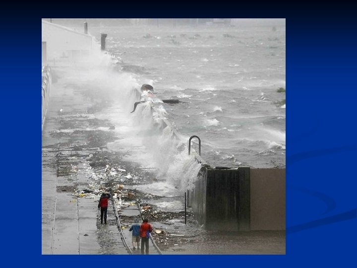
High Water Table
With practice we can picture topography by looking at the map even without the cross profile. That is the power of topographic maps
A common use for a topographic map is to determine the elevation at a specified locality. The map below is an enlargement of the map of the island from above. Each of the letters from A to E represent locations for which we wish to determine elevation. Use the map and determine (or estimate) the elevation of each of the 5 points. (Assume elevations are given in feet)
• Point A = 700 • Point B = 740 • Point C ~ 770 • Point c is not directly on a contour line. But by counting up from 700 we can • see it lies between the 760 and 780 contour lines. Because it is in the middle of the two we can estimate its elevation as 770. • Point D = 820 • Point D is outside the interval between the two measured contours. • While it may seem obvious that it is 20 above the 800 contour, how do we know the • slope hasn't changed and the elevation has started to back down? • We can tell because if the slope stated back down we would need to repeat the 800 contour. • Because the contour under point D is not an index • contour it can not be the 800 contour, so must be 820.
Gentle Slope vs. Steep Slope Gentle Slope n Slowly changes elevation n Lines are far apart Steep Slope n Quickly changes elevation n Lines close together
8. Reading a FLAT Topographic Map E. F. G. H. What is the interval of this map? 20 ft The closer the lines, the steeper the landform. The farther away the lines are, the flatter the landform. FLAT Label the steepest and flattest parts of this map. STEEP