Topographic Maps Earth Science Presentation Topography Topography The


- Slides: 22
Topographic Maps Earth Science Presentation
Topography ► Topography § The shape of a surface, including its relief and the relative position of features.
Topography ► Relief – refers to the difference in the highest and lowest elevations on the map. § An area with ‘low’ relief would be relatively flat, § An area with ‘high’ relief would be more rugged LOW RELIEF HIGH RELIEF
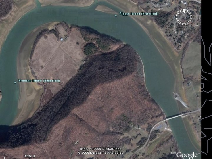
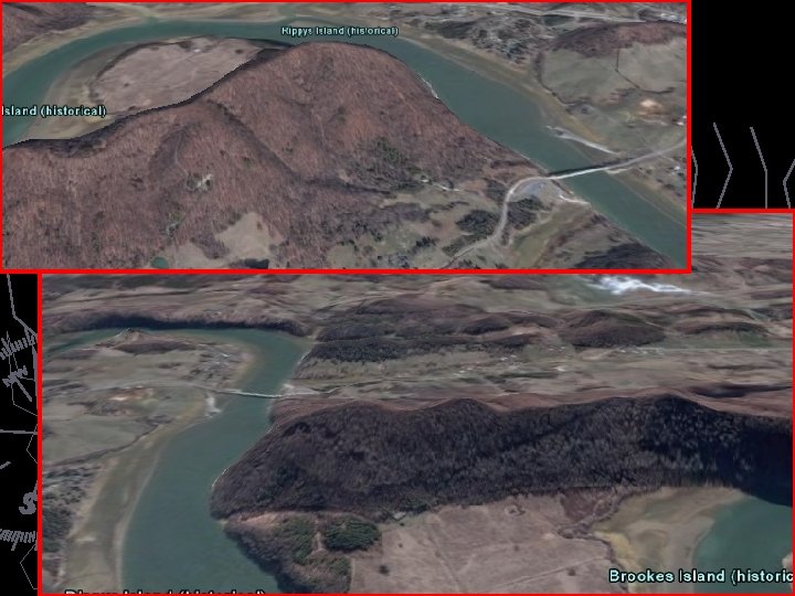
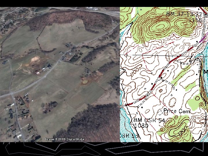
Topographic Maps ► Topographic Map § – a map that uses contour lines to show the changes of elevation at Earth’s surface; § - shows natural features such as lakes and streams § - shows cultural features such as cities, schools, dams, etc.
Topographic Maps ► Contour Lines § A line on a map that connects points of equal elevation. § Elevation refers to height above or below sea level. 50 0 Contour line 40 0 Index contour Contour Interval = 20 feet
Topographic Maps ► Contour Interval – C. I. § The difference in elevation between two side-by -side contour lines. 1250 § 1250 – 1200 = 50 § 50 feet every 5 lines § 50/5 = 10 feet per line § Contour Interval = 10 ft. 120 0
Topographic Maps ► Index Contour § Every 5 th line is darker than the others. § Indicates the elevation. 1250 § Helps determine the C. I. 120 0
Reading Contour Lines 1250 130 0 125 0 120 0 0 Which slope is steepest?
Reading Contour Lines 1250 130 0 125 0 120 0 0 The closer the contours are to each other, the steeper the terrain.
Rules for Topo maps: 1. Contour lines close around hills and basins or depressions. MAP VIEW CROSS SECTION
Rules for Topo maps: 1. Contour lines close around hills and basins or depressions. 1220 1230 122 121 120 0 Hachures – short lines at right angles to the contour lines that indicate depressions. Elevations of hachured contour lines are equal to the adjacent non-hachured line. Usually indicate sink holes, quarries, or other areas of subsidence.
Rules for Topo Maps: 2. Contour lines never cross. ► If they did it would mean a spot would have two elevations.
Rules for Topo Maps: 3. Contours form V’s that point upstream when crossing creeks.
Contour lines V upstream and water flows downstream.
Maps ► Map Legend § Explanation of meaning of symbols used on a map.