Three Basic Land Survey Systems or Cadastral and

Three Basic Land Survey Systems, or Cadastral, and a Review of Selected Agriculture Terms Cadastral System Longlot Metes and Bounds Township and Range or Rectangular Survey

Place this into the lesson for 2019 • https: //www. youtube. com/watch? v=YCS 1_9 U wne 0

• OBJECTIVE: Understand be able to distinguish between and employ the different types of land survey systems.

Cadastre or Cadastral A public record, survey, or map of the value, extent, and ownership of land as a basis of taxation. http: //www. thefreedictionary. com/Cadastral

3 Types of Rural Settlement Patterns http: //www. 3 dgeography. co. uk/settlement-patterns • Clustered • Dispersed • Linear

Turn to map on page 327

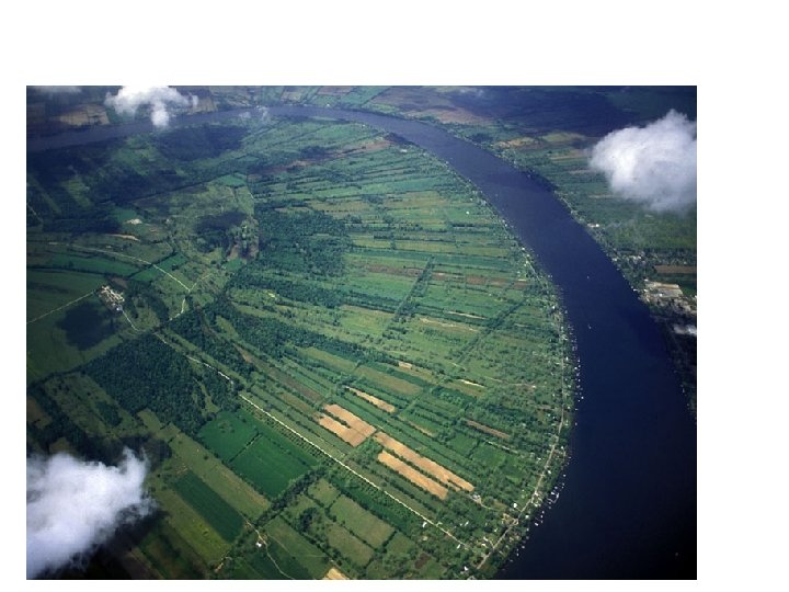

Long-lot Survey System 1. French 2. elongated in appearance 3. mostly found along bodies of water
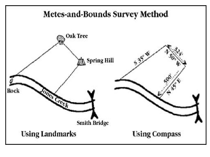
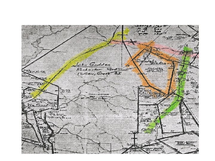
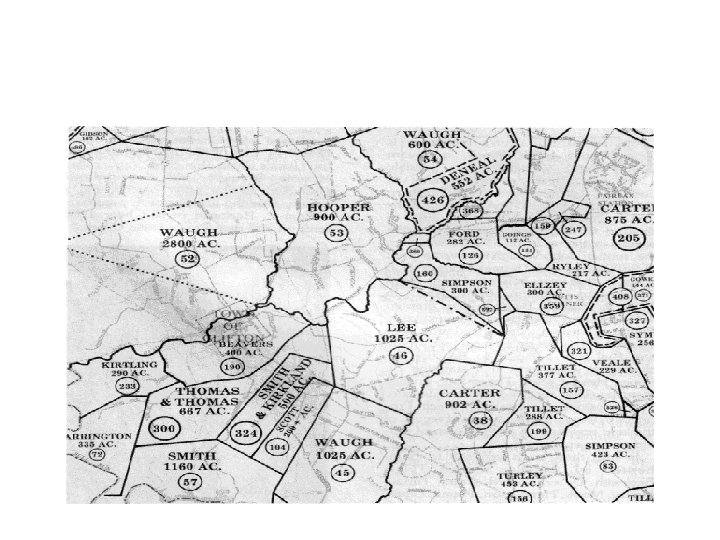

Metes and Bounds 1. Primarily used east of the Mississippi River and mid-Atlantic 2. Use of landmarks in measurements 3. Measured in paces and feet 4. Generally irregular in appearance – not as geometric in most cases
 3.")
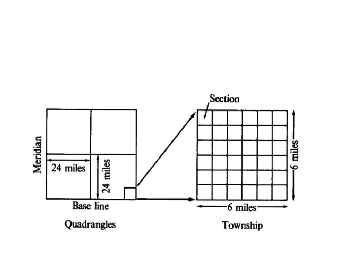
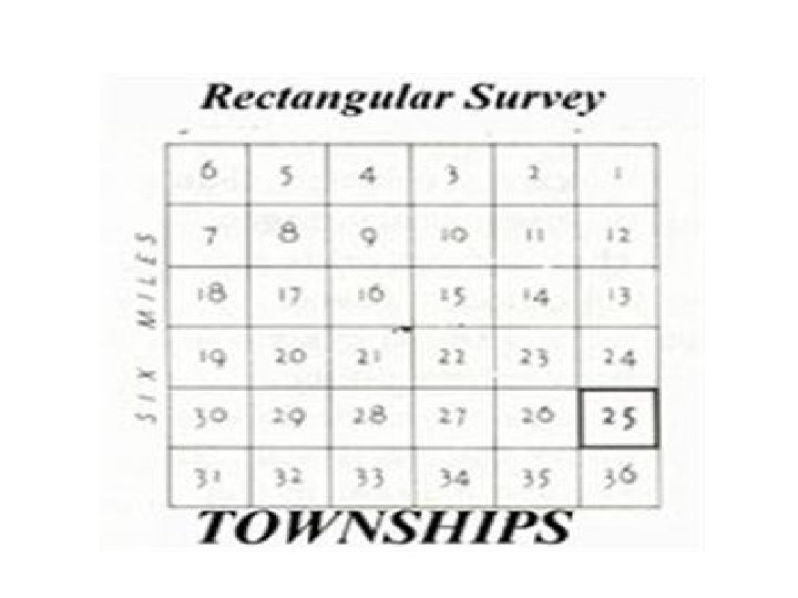
Township and Range 1. Thomas Jefferson 2. Used after the Louisiana Purchase (1803) 3. Geometric and use of longitude and latitude 4. West of Mississippi River

Let’s compare Boston and Phoenix

Examples of what this looks like on maps as the US expanded

What about Russ Vegas?
- Slides: 19