
Think Like a Geographer Geographers ask the questions
- Slides: 34
Think Like a Geographer
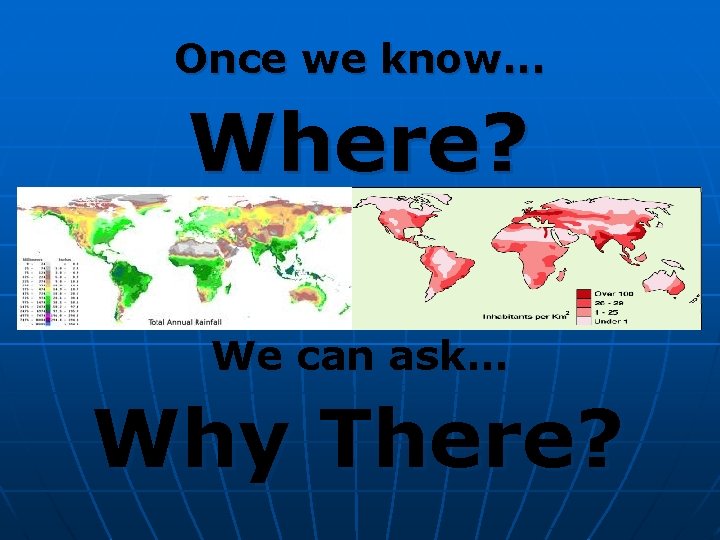
Geographers ask the questions. . . Where? and Why There?
What tools do you need to … Think Like a Geographer?
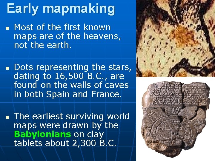
Early mapmaking n n n Most of the first known maps are of the heavens, not the earth. Dots representing the stars, dating to 16, 500 B. C. , are found on the walls of caves in both Spain and France. The earliest surviving world maps were drawn by the Babylonians on clay tablets about 2, 300 B. C.
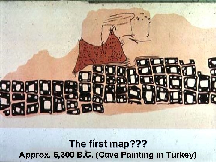
The first map? ? ? Approx. 6, 300 B. C. (Cave Painting in Turkey)
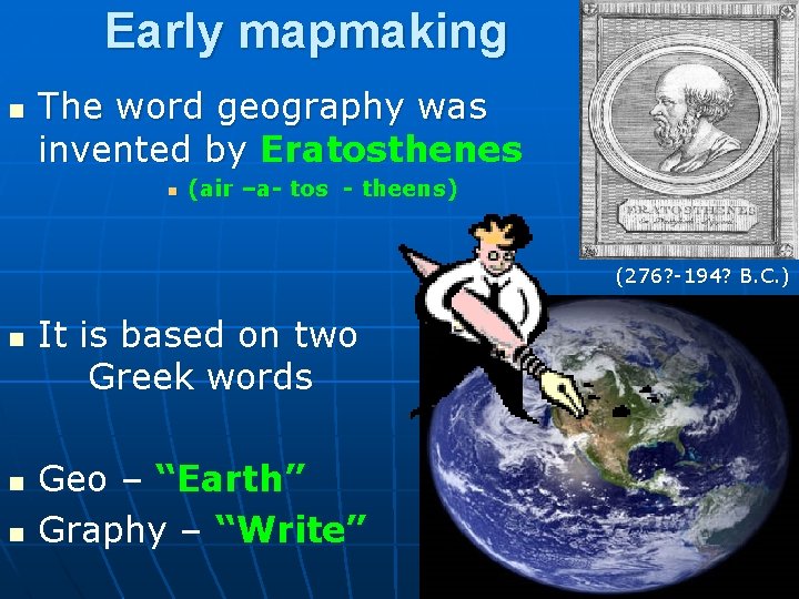
Early mapmaking n The word geography was invented by Eratosthenes n (air –a- tos - theens) (276? -194? B. C. ) n n n It is based on two Greek words Geo – “Earth” Graphy – “Write”
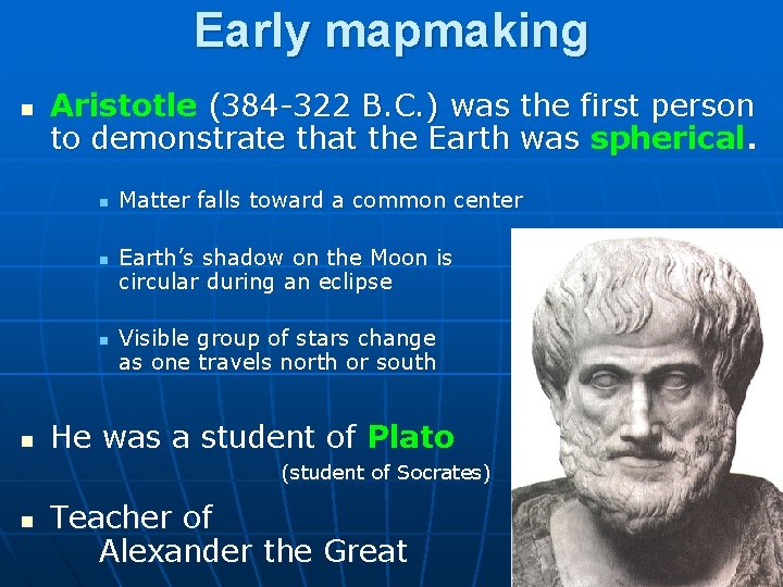
Early mapmaking n Aristotle (384 -322 B. C. ) was the first person to demonstrate that the Earth was spherical. n n Matter falls toward a common center Earth’s shadow on the Moon is circular during an eclipse Visible group of stars change as one travels north or south He was a student of Plato (student of Socrates) n Teacher of Alexander the Great
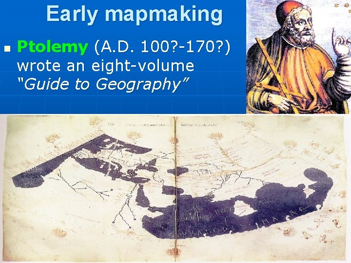
Early mapmaking n Ptolemy (A. D. 100? -170? ) wrote an eight-volume “Guide to Geography”
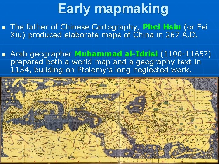
Early mapmaking n n The father of Chinese Cartography, Phei Hsiu (or Fei Xiu) produced elaborate maps of China in 267 A. D. Arab geographer Muhammad al-Idrisi (1100 -1165? ) prepared both a world map and a geography text in 1154, building on Ptolemy’s long neglected work.
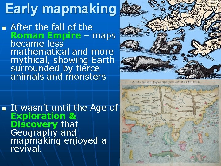
Early mapmaking n n After the fall of the Roman Empire – maps became less mathematical and more mythical, showing Earth surrounded by fierce animals and monsters It wasn’t until the Age of Exploration & Discovery that Geography and mapmaking enjoyed a revival.
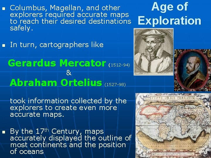
n n Columbus, Magellan, and other explorers required accurate maps to reach their desired destinations safely. In turn, cartographers like Gerardus Mercator (1512 -94) & Abraham Ortelius (1527 -98) took information collected by the explorers to create even more accurate maps. n By the 17 th Century, maps accurately displayed the outline of most continents and the position of oceans Age of Exploration
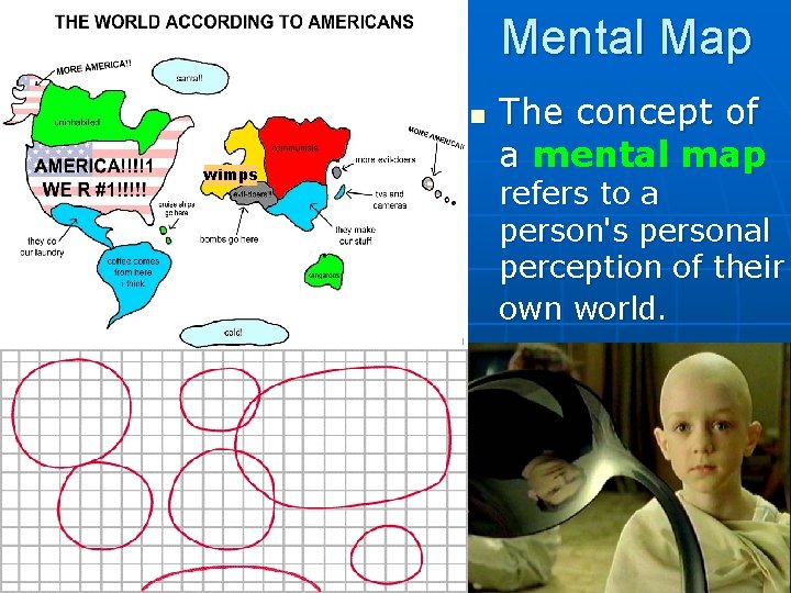
Mental Map n wimps The concept of a mental map refers to a person's personal perception of their own world.
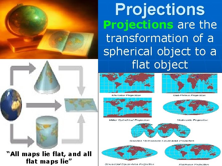
Projections are the transformation of a spherical object to a flat object “All maps lie flat, and all flat maps lie”
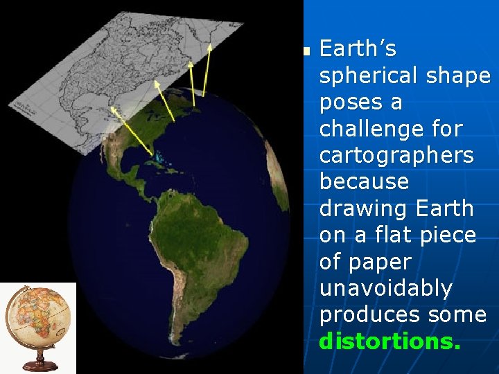
n Earth’s spherical shape poses a challenge for cartographers because drawing Earth on a flat piece of paper unavoidably produces some distortions.
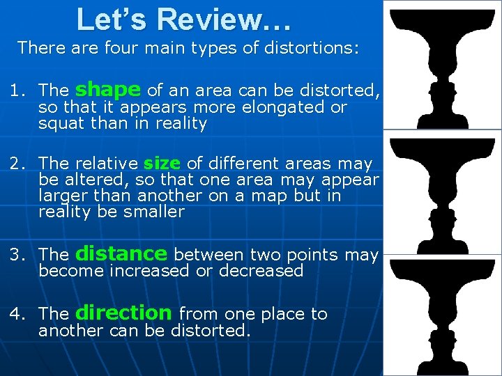
Let’s Review… There are four main types of distortions: 1. The shape of an area can be distorted, so that it appears more elongated or squat than in reality 2. The relative size of different areas may be altered, so that one area may appear larger than another on a map but in reality be smaller 3. The distance between two points may become increased or decreased 4. The direction from one place to another can be distorted.
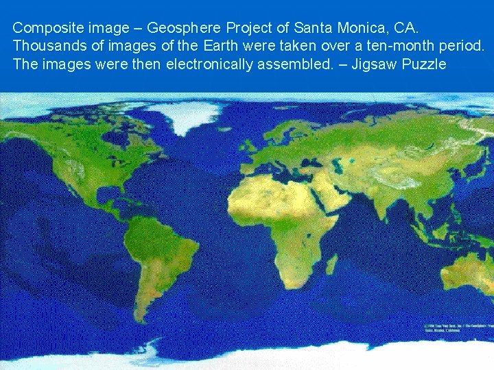
Composite image – Geosphere Project of Santa Monica, CA. Thousands of images of the Earth were taken over a ten-month period. The images were then electronically assembled. – Jigsaw Puzzle
INTERMISSION Check out this scene from the West Wing. Why does it matter what type of map projection Americans use? http: //www. youtube. com/watch? v=n 8 z. BC 2 dv. ERM
All “Good” maps have 5 parts! Title n Date n Compass n Key / Legend n Scale n
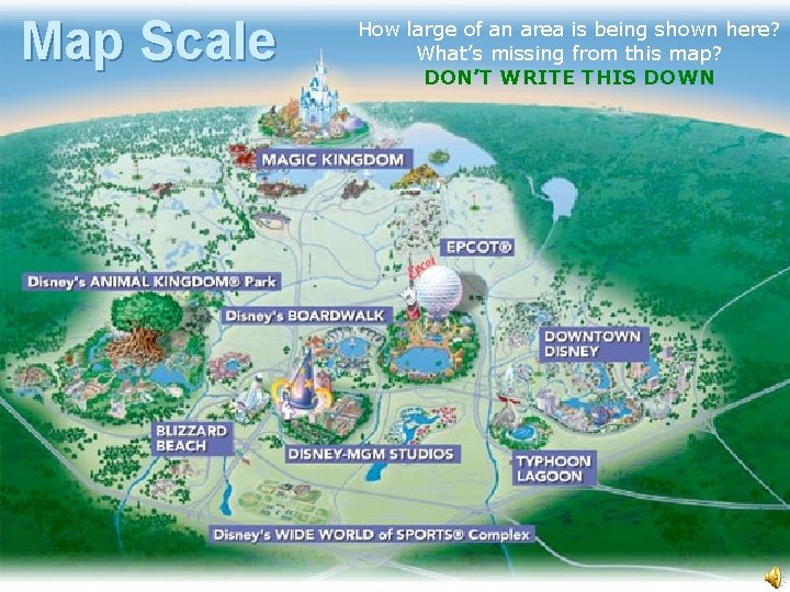
Map Scale How large of an area is being shown here? What’s missing from this map? DON’T WRITE THIS DOWN
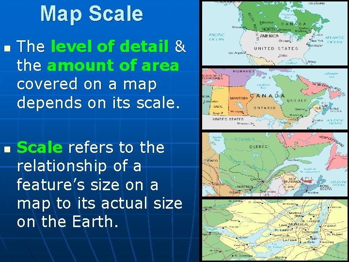
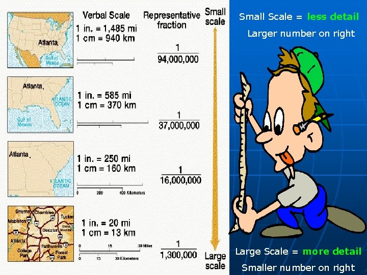
Map Scale n n The level of detail & the amount of area covered on a map depends on its scale. Scale refers to the relationship of a feature’s size on a map to its actual size on the Earth.
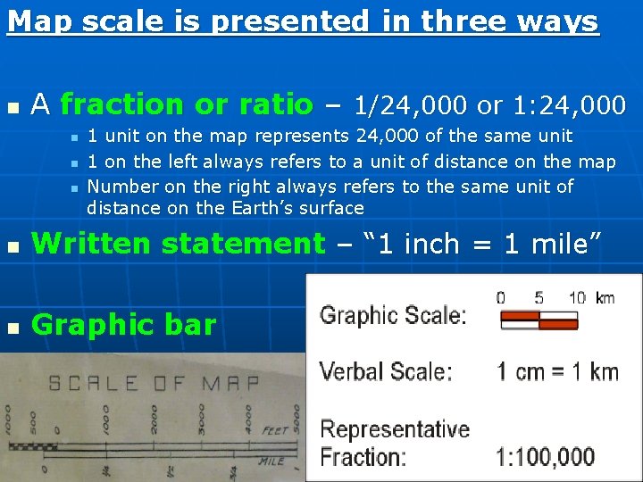
Map scale is presented in three ways n A fraction or ratio – 1/24, 000 or 1: 24, 000 n n n 1 unit on the map represents 24, 000 of the same unit 1 on the left always refers to a unit of distance on the map Number on the right always refers to the same unit of distance on the Earth’s surface n Written statement – “ 1 inch = 1 mile” n Graphic bar
Small Scale = less detail Larger number on right Large Scale = more detail Smaller number on right
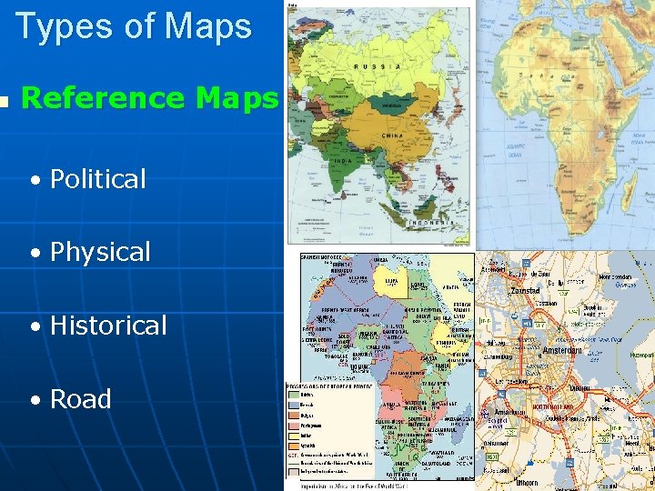
n Types of Maps Reference Maps • Political • Physical • Historical • Road
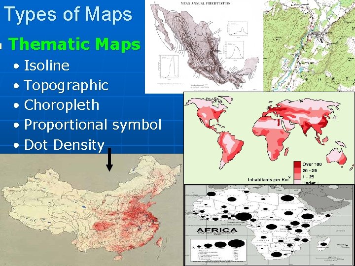
n Types of Maps Thematic Maps • Isoline • Topographic • Choropleth • Proportional symbol • Dot Density
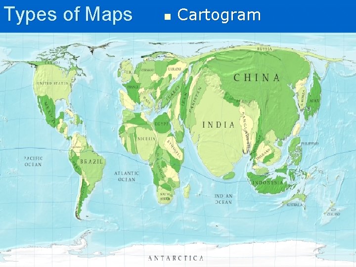
Types of Maps n Cartogram
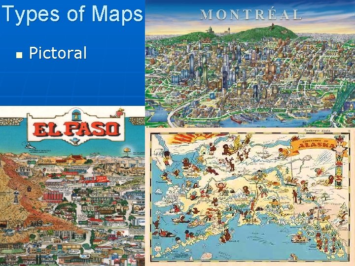
Types of Maps n Pictoral
Thinking Like a Geographer has not changed… but our tools have!
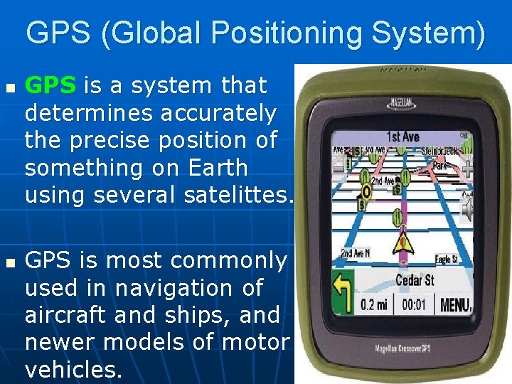
GPS (Global Positioning System) n n GPS is a system that determines accurately the precise position of something on Earth using several satelittes. GPS is most commonly used in navigation of aircraft and ships, and newer models of motor vehicles.
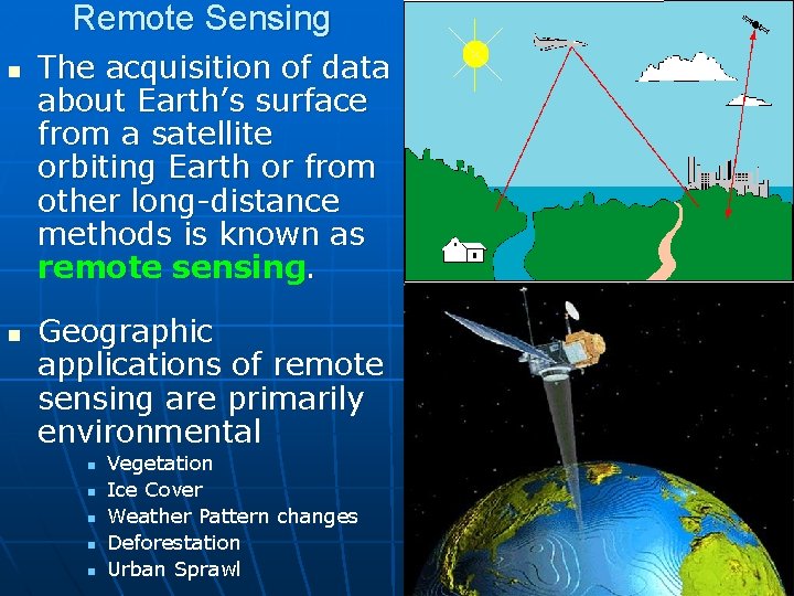
Remote Sensing n n The acquisition of data about Earth’s surface from a satellite orbiting Earth or from other long-distance methods is known as remote sensing. Geographic applications of remote sensing are primarily environmental n n n Vegetation Ice Cover Weather Pattern changes Deforestation Urban Sprawl
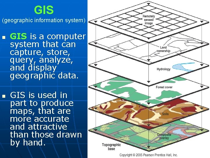
GIS (geographic information system) n n GIS is a computer system that can capture, store, query, analyze, and display geographic data. GIS is used in part to produce maps, that are more accurate and attractive than those drawn by hand.
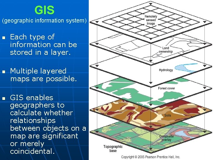
GIS (geographic information system) n n n Each type of information can be stored in a layer. Multiple layered maps are possible. GIS enables geographers to calculate whether relationships between objects on a map are significant or merely coincidental.
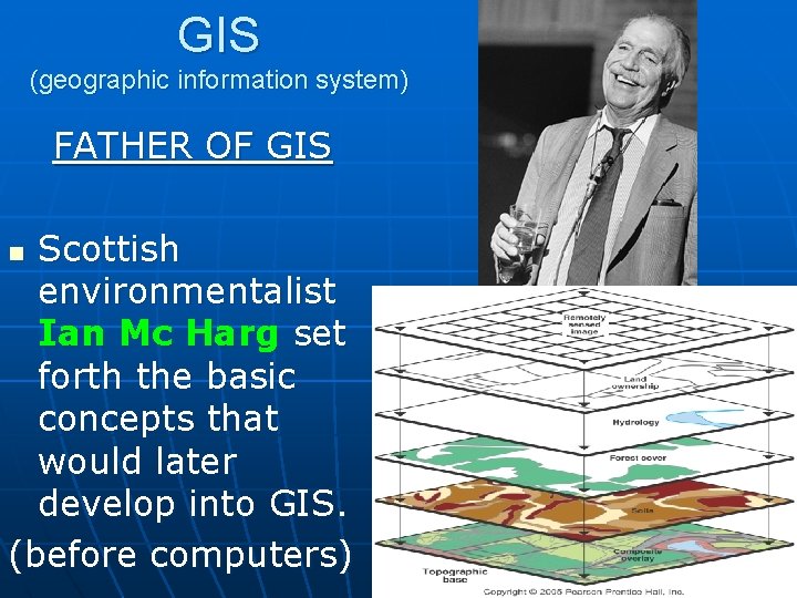
GIS (geographic information system) FATHER OF GIS Scottish environmentalist Ian Mc Harg set forth the basic concepts that would later develop into GIS. (before computers) n
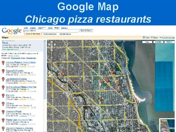
Google Map Chicago pizza restaurants
Once we know. . . Where? We can ask. . . Why There?