
The World of Geography The Five Themes Objective
The World of Geography The Five Themes Objective: SWBAT -Describe the components of the Five Themes of Geography by taking guided notes and completing select partner activities.

How we study geography? Human Geography • Human Geography is anything human/man made. It includes population, culture, infrastructure, technology, development, etc. Physical Geography • Physical Geography relates to things found in nature such as: natural resources, bodies of water, climate, or landforms.

Location • There are two ways to think about location: 1. absolute location – describes the place’s exact position on the Earth. 2. relative location – explains where a place is by describing places near it.
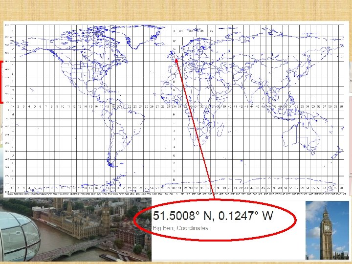
Absolute Location: Big Ben, UK
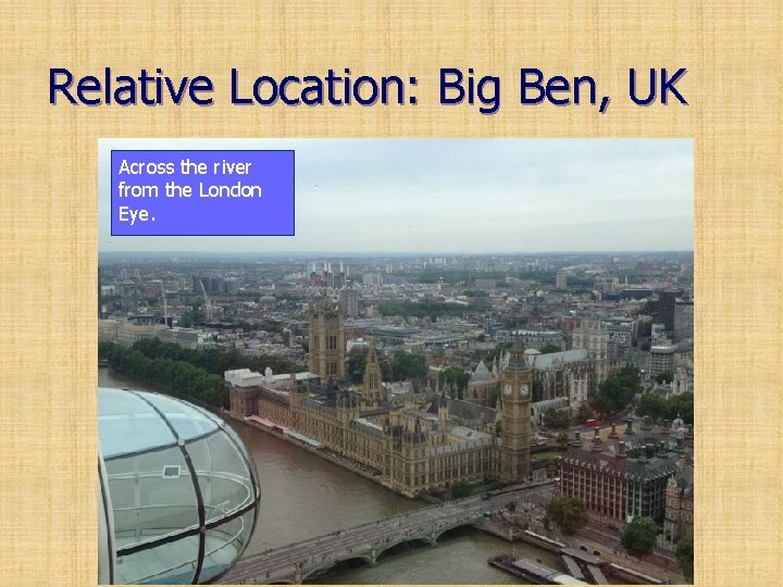
Relative Location: Big Ben, UK Across the river from the London Eye.
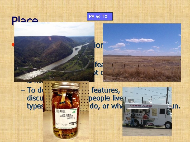
Place PA vs TX • This includes a location’s physical and human features. – To describe physical features, you might say that the climate is hot or cold or that the land is hilly. – To describe human features, you might discuss how many people live there, what types of work they do, or what they do for fun.
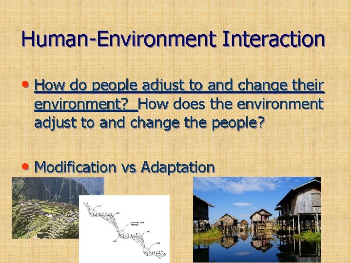
Human-Environment Interaction • How do people adjust to and change their environment? How does the environment adjust to and change the people? • Modification vs Adaptation
Regions • A region has a unifying characteristic, like – climate – land – population – History – Religion – Language Most regions are generally defined by these three factors. • On maps, geographers use color and shape or special symbols to show regions.

Maps help geographers determine relationships between people and places. The Geographer’s Tools • Globes and Maps: – As people explored the Earth, they collected information about it. – Mapmakers wanted to present this information correctly. – The best way was to put it on a globe, a round. Distribution ball that Temperature Map represented the Earth.
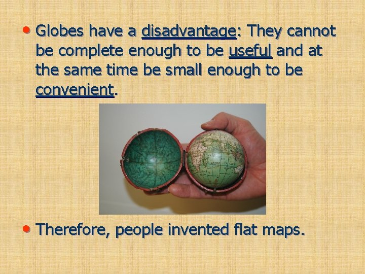
• Globes have a disadvantage: They cannot be complete enough to be useful and at the same time be small enough to be convenient. • Therefore, people invented flat maps.
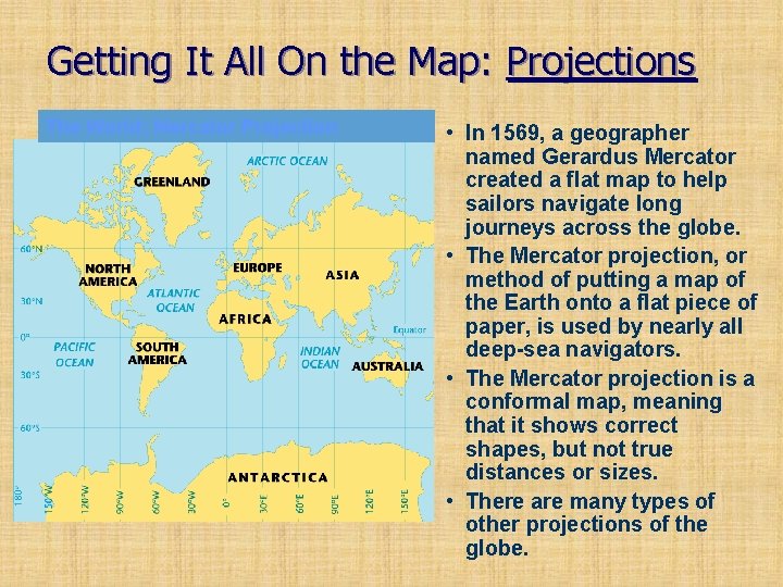
Getting It All On the Map: Projections The World: Mercator Projection • In 1569, a geographer named Gerardus Mercator created a flat map to help sailors navigate long journeys across the globe. • The Mercator projection, or method of putting a map of the Earth onto a flat piece of paper, is used by nearly all deep-sea navigators. • The Mercator projection is a conformal map, meaning that it shows correct shapes, but not true distances or sizes. • There are many types of other projections of the globe.
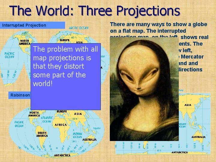
The World: Three Projections Interrupted Projection The problem with all map projections is that they distort some part of the world! Robinson Projection There are many ways to show a globe on a flat map. The interrupted projection map, on the left, shows real sizes and shapes of continents. The Robinson Projection, below left, shows size accurately. The Mercator projection, below, shows land oceans areas and correct directions accurately Mercator Projection
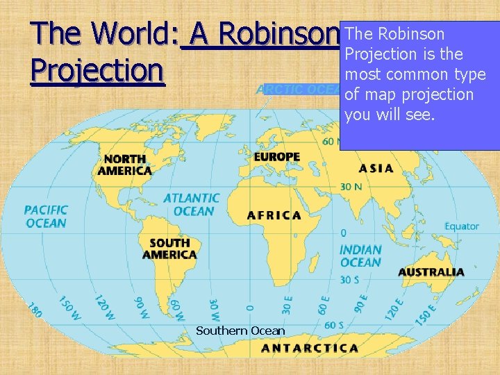
The World: A Robinson The Robinson Projection is the most common type Projection ARCTIC OCEAN of map projection you will see. Southern Ocean
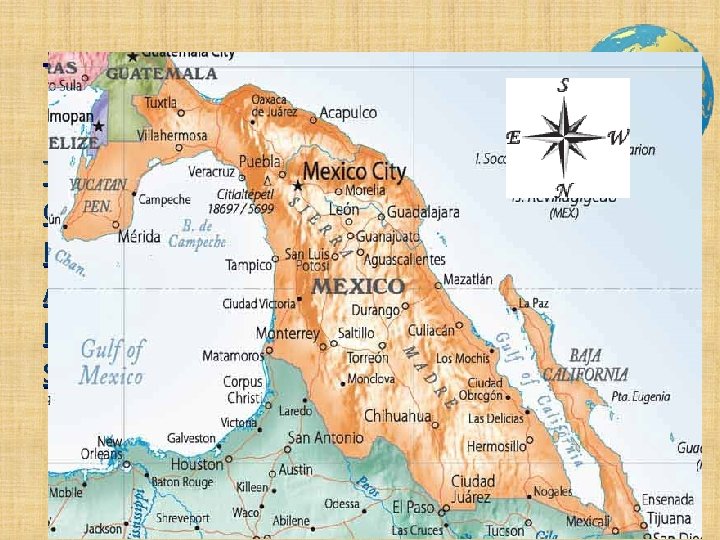
The Parts of a Map T=Title O=Orientation D=Date A=Author L=Legend S=Scale
GIS/GPS Reading Homework • Excerpts and Questions • Current Event Card • Quiz Monday
- Slides: 15