
The World of Geography Owl Teacher com What
- Slides: 37
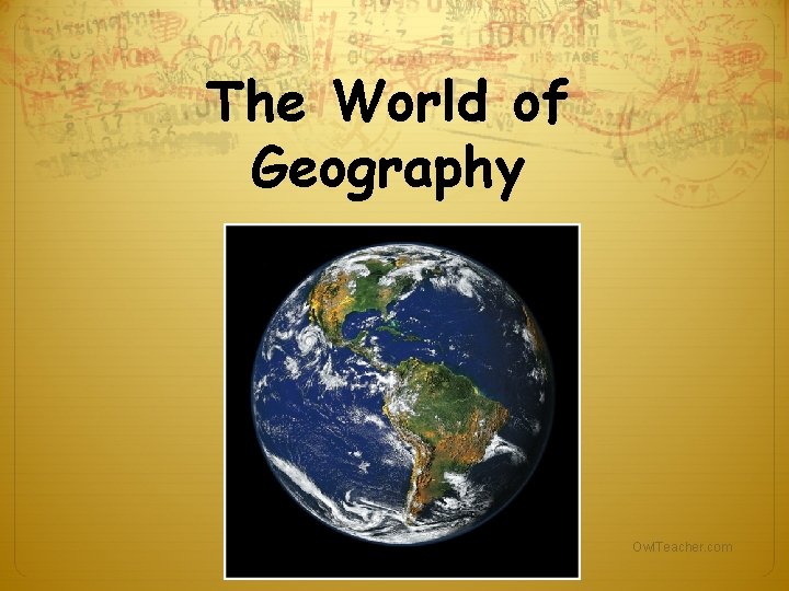
The World of Geography Owl. Teacher. com
What is Geography? *It is the study of our earth; our home. OR *Anything that can be mapped! Owl. Teacher. com
*Geography mixes up the physical and human aspects of our world into one field of study. *Geography shows the relationship between people and the environment. Owl. Teacher. com
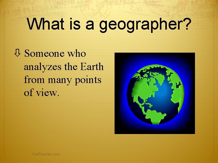
What is a geographer? Someone who analyzes the Earth from many points of view. Owl. Teacher. com
The Five Themes of Geography There are five ways to look at the earth When geographers work, they are guided by two basic questions: 1) Where are things located? 2) Why are they there? To find these answers, geographers use five themes to organize information Owl. Teacher. com
Some of the things that geographers study: oceans plant life landforms people how the Earth and its people affect each other Owl. Teacher. com
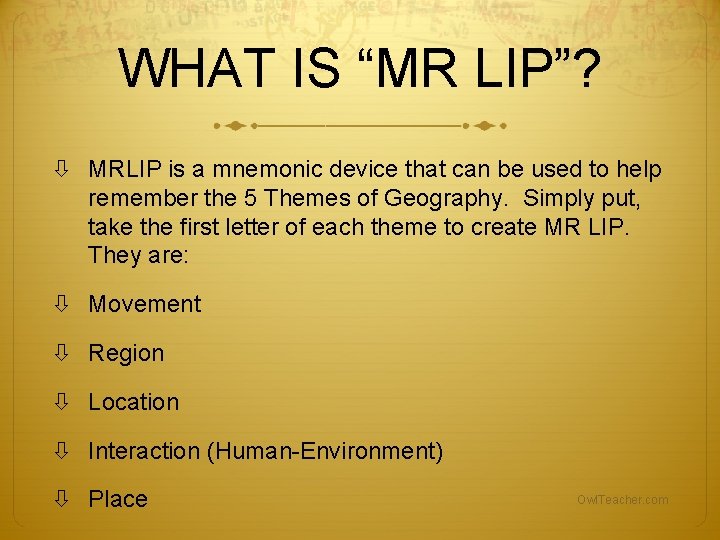
WHAT IS “MR LIP”? MRLIP is a mnemonic device that can be used to help remember the 5 Themes of Geography. Simply put, take the first letter of each theme to create MR LIP. They are: Movement Region Location Interaction (Human-Environment) Place Owl. Teacher. com
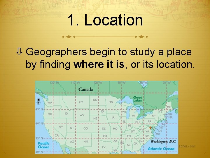
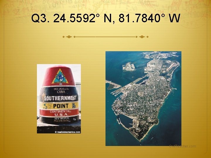
1. Location Geographers begin to study a place by finding where it is, or its location. Owl. Teacher. com
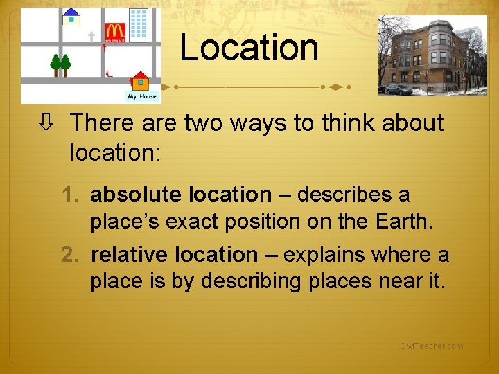
Location There are two ways to think about location: 1. absolute location – describes a place’s exact position on the Earth. 2. relative location – explains where a place is by describing places near it. Owl. Teacher. com
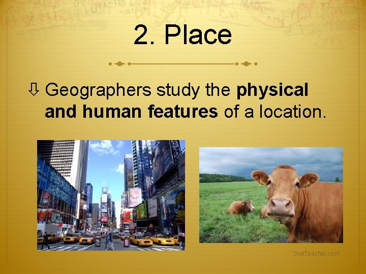
2. Place Geographers study the physical and human features of a location. Owl. Teacher. com
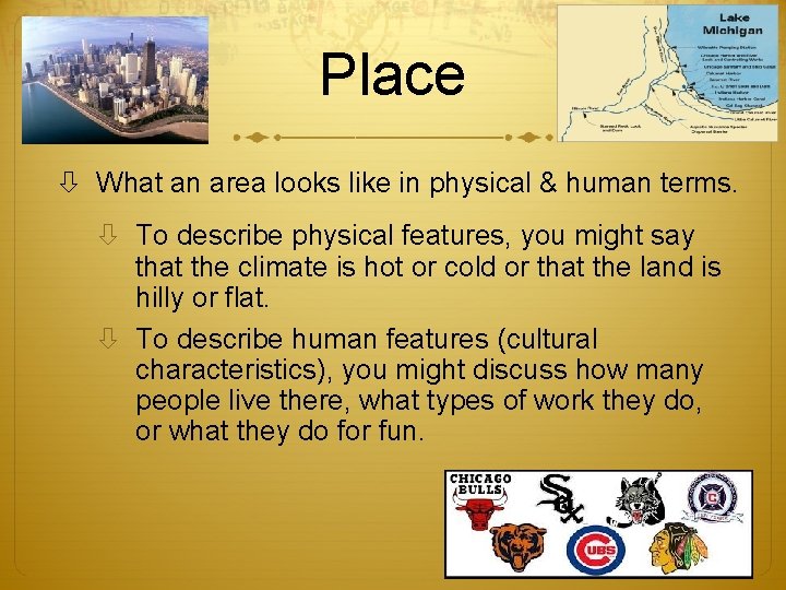
Place What an area looks like in physical & human terms. To describe physical features, you might say that the climate is hot or cold or that the land is hilly or flat. To describe human features (cultural characteristics), you might discuss how many people live there, what types of work they do, or what they do for fun. Owl. Teacher. com
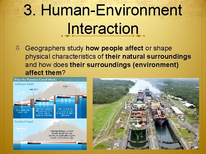
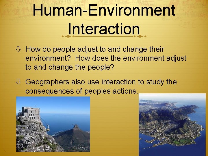
3. Human-Environment Interaction Geographers study how people affect or shape physical characteristics of their natural surroundings and how does their surroundings (environment) affect them? Owl. Teacher. com
Human-Environment Interaction How do people adjust to and change their environment? How does the environment adjust to and change the people? Geographers also use interaction to study the consequences of peoples actions. Owl. Teacher. com
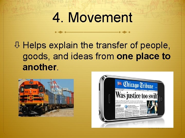
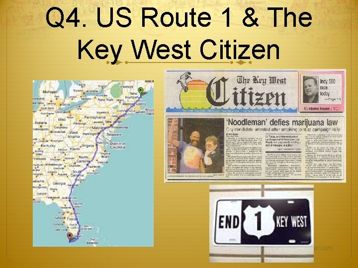
4. Movement Helps explain the transfer of people, goods, and ideas from one place to another. Owl. Teacher. com
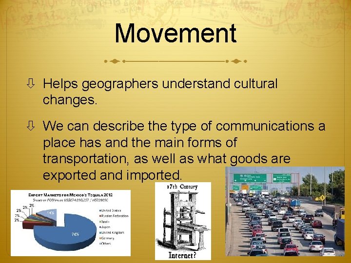
Movement Helps geographers understand cultural changes. We can describe the type of communications a place has and the main forms of transportation, as well as what goods are exported and imported. Owl. Teacher. com
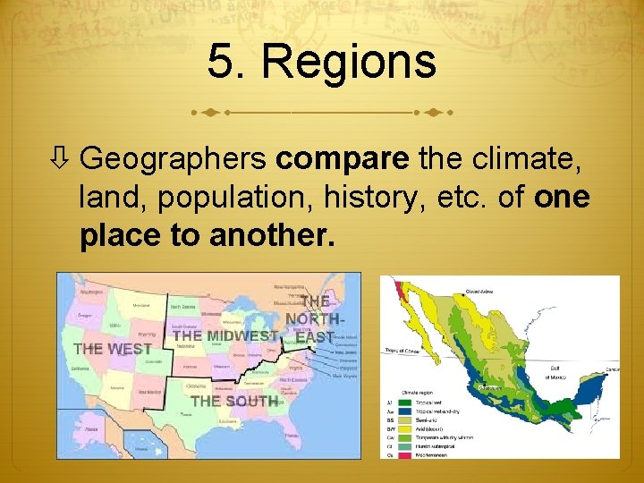
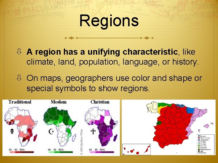
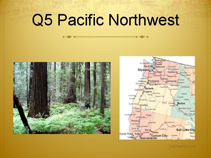
5. Regions Geographers compare the climate, land, population, history, etc. of one place to another. Owl. Teacher. com
Regions A region has a unifying characteristic, like climate, land, population, language, or history. On maps, geographers use color and shape or special symbols to show regions. Owl. Teacher. com
Quick 5 Themes Quiz Number your paper 1 to 5. After each of the following slides, write down one of the following 5 Themes of Geography Location Place Movement Human & Environment Interaction Region Owl. Teacher. com
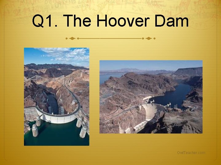
Q 1. The Hoover Dam Owl. Teacher. com
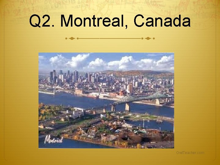
Q 2. Montreal, Canada Owl. Teacher. com
Q 3. 24. 5592° N, 81. 7840° W Owl. Teacher. com
Q 4. US Route 1 & The Key West Citizen Owl. Teacher. com
Q 5 Pacific Northwest Owl. Teacher. com
How did you do? 1. Human-Environment Interaction—Hoover Dam 2. Place—Montreal 3. Location—Key West coordinates & Southernmost Point Monument. 4. Movement—Newspaper & Highway 5. Region—Pacific Northwest Owl. Teacher. com
The Geographer’s Tools Globes and Maps: As people explored the Earth, they collected information about it. Mapmakers wanted to present this information correctly. The best way was to put it on a globe, a round ball that represented the Earth. Owl. Teacher. com
Because globes are not practical or easy to use to carry, flat maps were invented. However, the earth is round a map is flat. Mapmakers had to find ways to make maps accurate. Owl. Teacher. com
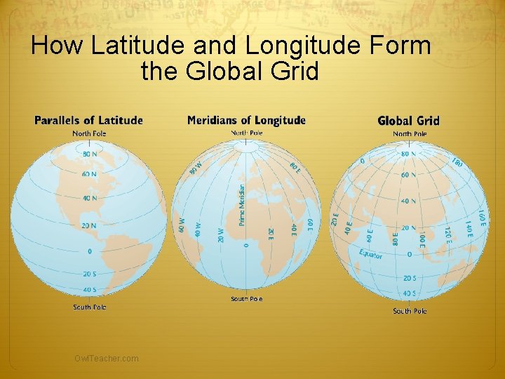
How Latitude and Longitude Form the Global Grid Owl. Teacher. com
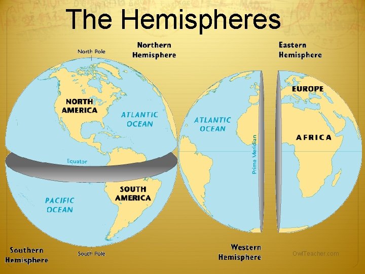
The Hemispheres Owl. Teacher. com
Globes and Maps The most accurate way to present information on the islands, continents, and bodies of water of the world is to put it all on a globe, a round ball like the Earth itself. The only difference between a globe and the Earth itself is the scale, or size, represented on the globe. Owl. Teacher. com
Globes have a disadvantage: They cannot be complete enough to be useful and at the same time be small enough to be convenient. Therefore, people invented flat maps. Owl. Teacher. com
Maps try to show the Earth, which is round, on a flat surface. This causes distortion, or a change in accuracy of the shapes and distances of places. It is impossible to show the Earth on a flat surface without some distortion. Owl. Teacher. com
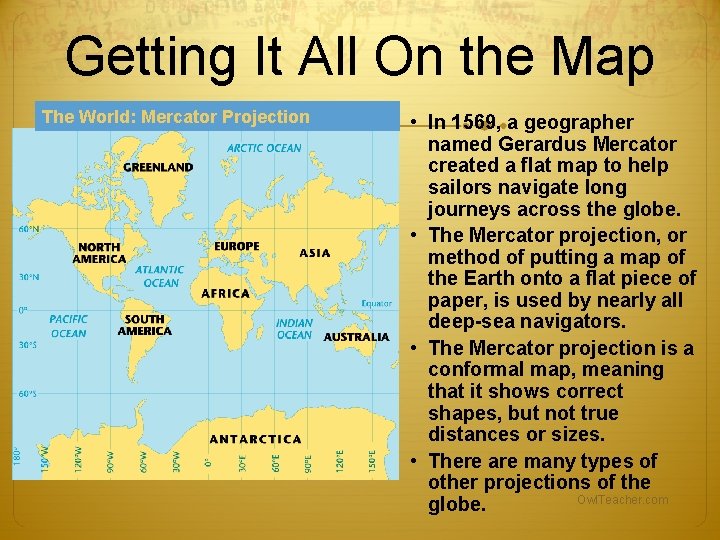
Getting It All On the Map The World: Mercator Projection • In 1569, a geographer named Gerardus Mercator created a flat map to help sailors navigate long journeys across the globe. • The Mercator projection, or method of putting a map of the Earth onto a flat piece of paper, is used by nearly all deep-sea navigators. • The Mercator projection is a conformal map, meaning that it shows correct shapes, but not true distances or sizes. • There are many types of other projections of the Owl. Teacher. com globe.
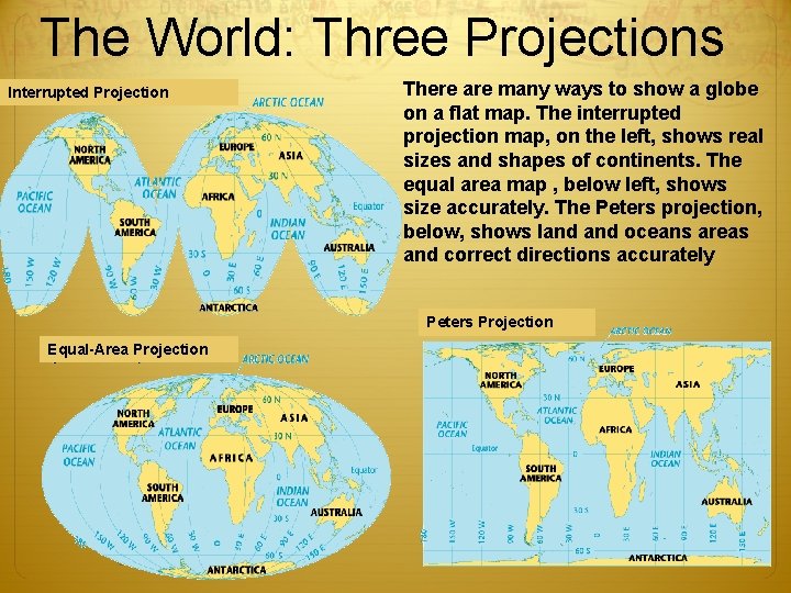
The World: Three Projections Interrupted Projection There are many ways to show a globe on a flat map. The interrupted projection map, on the left, shows real sizes and shapes of continents. The equal area map , below left, shows size accurately. The Peters projection, below, shows land oceans areas and correct directions accurately Peters Projection Equal-Area Projection Owl. Teacher. com
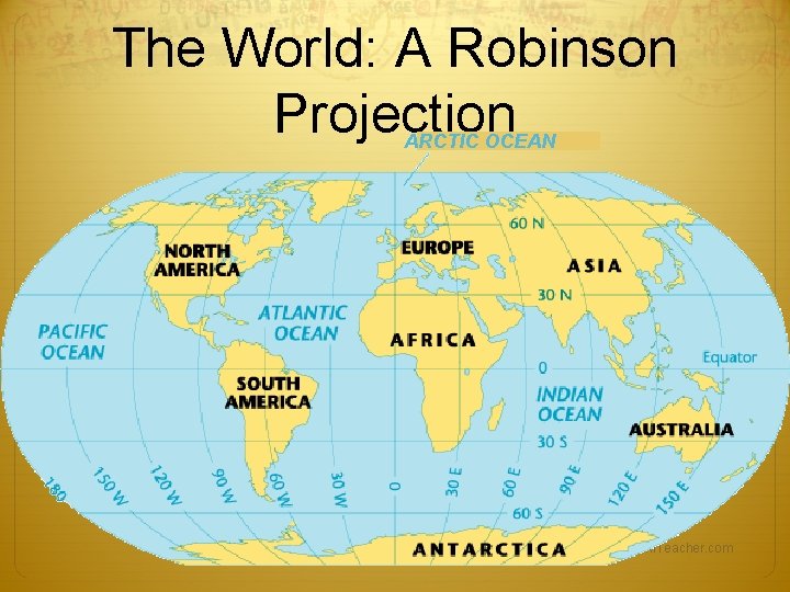
The World: A Robinson Projection ARCTIC OCEAN Owl. Teacher. com
http: //thetruesize. com Owl. Teacher. com
The Parts of a Map Compass Rose A compass rose is a model of a compass. It tells the cardinal directions, which are north, south, east, and west. Scale The scale on a map tells you the relative distance on the map to the real world. For example, a map’s scale may tell you that one inch on the map equals one mile in the real world. Owl. Teacher. com
Key The key, or legend, on a map explains what the symbols on a map represent, such as triangles representing trees. Grids Some maps use a grid of parallels and meridians. On a map of a small area, letters and numbers are often used to help you find your location. Owl. Teacher. com