The success story of Himawari8 Does R 2
- Slides: 24

The success story of Himawari-8: Does R 2 O really mean “Risks to Overcome”? A Presentation Satellite Proving Ground / User Readiness Meeting, 12 May 2016 Jordan J. Gerth Assistant Researcher, Liaison to NWS Pacific Region Cooperative Institute for Meteorological Satellite Studies University of Wisconsin at Madison Bill D. Ward Environmental and Scientific Services Division Chief National Weather Service Pacific Region Headquarters

Where America’s Day Begins • Guam’s “day one” was 4 December 2015. • The NWS Guam forecast office was ready on “day one” due to foresight at NWS Pacific Region Headquarters earlier in the year. • This presentation will outline the challenge, discuss risks and solutions, highlight ongoing issues, and make recommendations for upcoming new generation satellites based on the experience. 12 May 2016 2

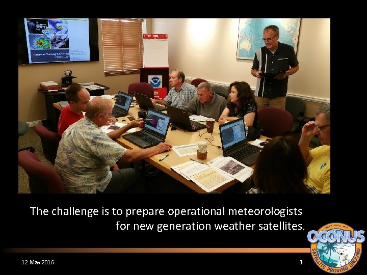
The challenge is to prepare operational meteorologists for new generation weather satellites. 12 May 2016 3

The Challenge • Practically, this means building capacity. – Ensuring technical systems are capable of delivering and displaying imagery and products at the full spatial, spectral, and temporal resolution – Infusing imagery and products into the operational forecast process – Integrating new satellite data into predictive models (numerical weather prediction and otherwise) 12 May 2016 4

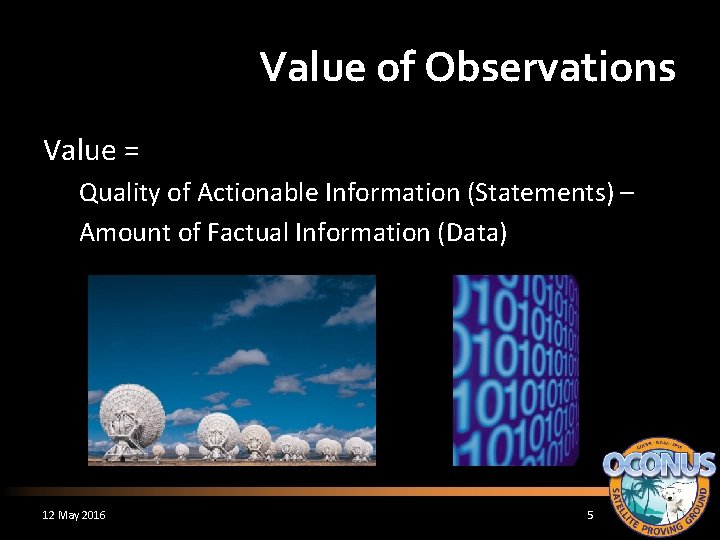
Value of Observations Value = Quality of Actionable Information (Statements) – Amount of Factual Information (Data) 12 May 2016 5

Value of Observations • Value decreases when data increases without impacting a decision process. • In this era of “big data”, the amount of data is endlessly increasing. • Unfortunately, the time duration allocated to make a decision is generally fixed. • Modernizing weather forecast services hinges on the practitioner leveraging the right data at the right time. 12 May 2016 6

Risk Ensure consistency and reliability of Himawari imagery data flow to the forecast offices in Pacific Region. Provide derived satellite products to the field offices in Pacific Region. 12 May 2016 7

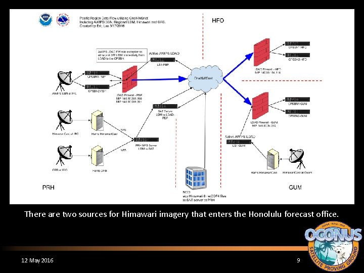
Solution Procure a satellite processing server to handle incoming Himawari imagery from multiple sources and convert to necessary formats. Himawari. Cast (antenna delivery) Himawari. Cloud (terrestrial delivery) Use real-time imagery coupled with CSPP Geo to create quantitative products for operations. 12 May 2016 8

There are two sources for Himawari imagery that enters the Honolulu forecast office. 12 May 2016 9

Solution To decrease the impact of an interrupted data feed to operations, an AWIPS bundle was configured to display the lesser-resolution Himawari. Cast imagery behind the full-resolution Himawari. Cloud tile imagery. 12 May 2016 10

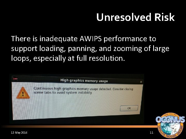
Unresolved Risk There is inadequate AWIPS performance to support loading, panning, and zooming of large loops, especially at full resolution. 12 May 2016 11

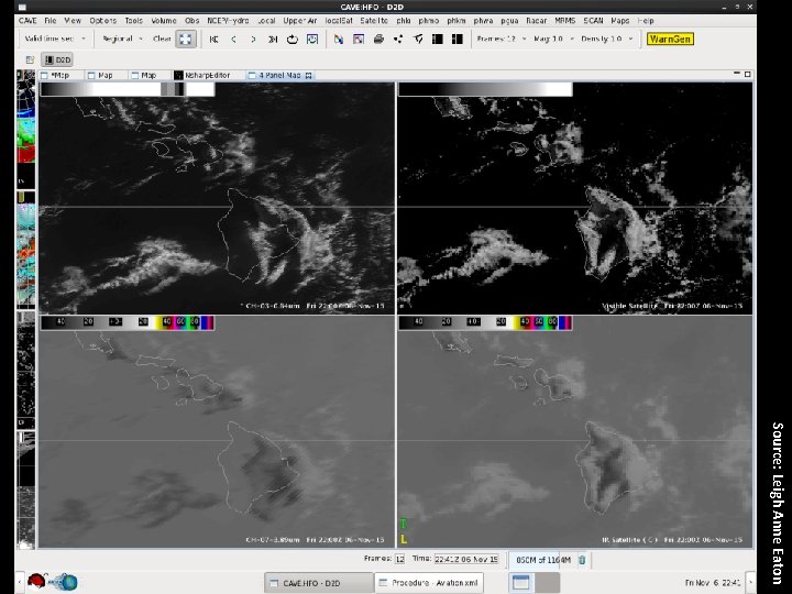
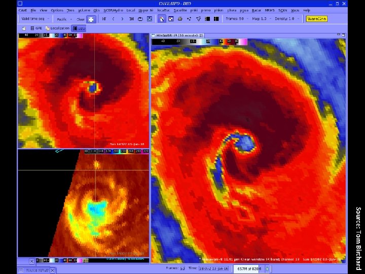
Risk There was little validation of the AWIPS data-todisplay value mapping and geostationary map projection prior to operational use. We are hampered by our ability to innovate on AWIPS for accommodating features that would improve the forecaster experience. 12 May 2016 12

Source: Leigh Anne Eaton

Source: Tom Birchard

Solution/Workaround Remap imagery to conventional projections with Mc. IDAS and provide it to AWIPS and N-AWIPS for location-sensitive applications. 12 May 2016 15

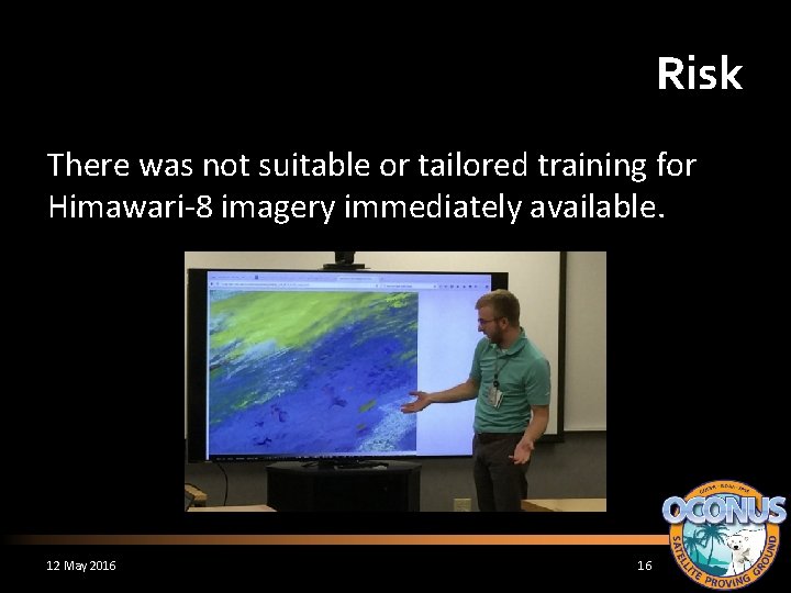
Risk There was not suitable or tailored training for Himawari-8 imagery immediately available. 12 May 2016 16

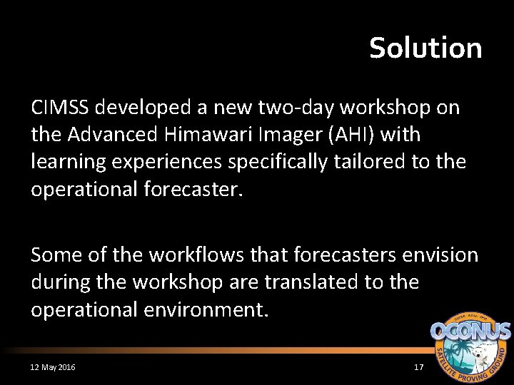
Solution CIMSS developed a new two-day workshop on the Advanced Himawari Imager (AHI) with learning experiences specifically tailored to the operational forecaster. Some of the workflows that forecasters envision during the workshop are translated to the operational environment. 12 May 2016 17

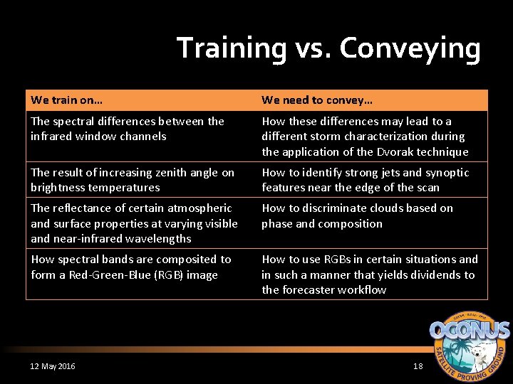
Training vs. Conveying We train on… We need to convey… The spectral differences between the infrared window channels How these differences may lead to a different storm characterization during the application of the Dvorak technique The result of increasing zenith angle on brightness temperatures How to identify strong jets and synoptic features near the edge of the scan The reflectance of certain atmospheric and surface properties at varying visible and near-infrared wavelengths How to discriminate clouds based on phase and composition How spectral bands are composited to form a Red-Green-Blue (RGB) image How to use RGBs in certain situations and in such a manner that yields dividends to the forecaster workflow 12 May 2016 18

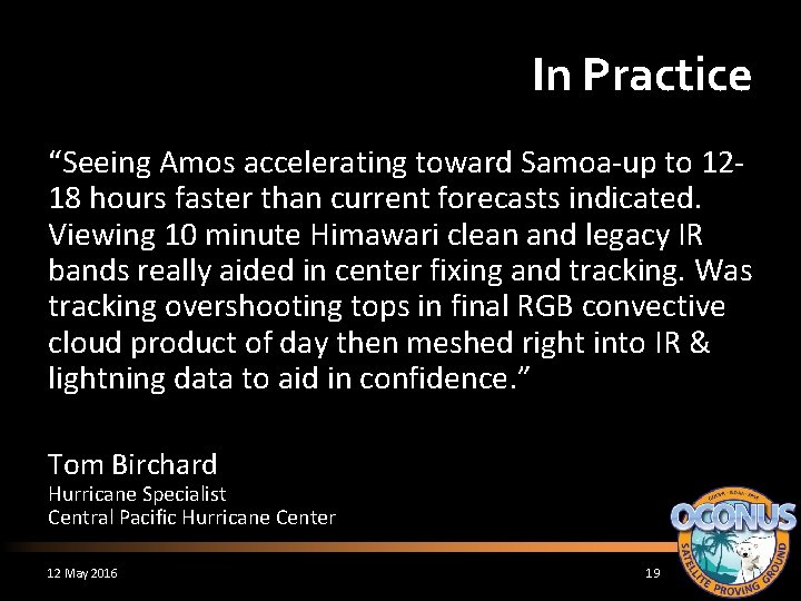
In Practice “Seeing Amos accelerating toward Samoa-up to 1218 hours faster than current forecasts indicated. Viewing 10 minute Himawari clean and legacy IR bands really aided in center fixing and tracking. Was tracking overshooting tops in final RGB convective cloud product of day then meshed right into IR & lightning data to aid in confidence. ” Tom Birchard Hurricane Specialist Central Pacific Hurricane Center 12 May 2016 19

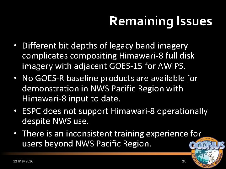
Remaining Issues • Different bit depths of legacy band imagery complicates compositing Himawari-8 full disk imagery with adjacent GOES-15 for AWIPS. • No GOES-R baseline products are available for demonstration in NWS Pacific Region with Himawari-8 input to date. • ESPC does not support Himawari-8 operationally despite NWS use. • There is an inconsistent training experience for users beyond NWS Pacific Region. 12 May 2016 20

“All Weather” Total Precipitable Water on Grid 175 (covering Guam) One of the outputs from Jun Li’s GOES-R Risk Reduction Project 12 May 2016 21

Recommendations • Operational software applications must be able to display new generation satellite imagery seamlessly at the temporal frequency and duration that the user desires. – Test and innovate before and during the post-launch period • Methods to reach users with training materials should be diverse and expansive. – Learning about the capabilities of new generation satellites will not occur in one sitting 12 May 2016 22

Recommendations • We must consider the entire forecaster workflow as part of the training experience and technical implementation. Training content and capabilities of technical systems must be aligned. – Proving ground demonstrations can sometimes be too narrowly focused on the new and not as much on the existing. • Success requires reliance on a system of systems. Ensure the avenues are in place to work across organizational and technical boundaries. 12 May 2016 23

Questions? Comments? Jordan Gerth Jordan. Gerth@noaa. gov A Presentation