
The Role of a Primary Charting Authority MACHC
- Slides: 22
The Role of a Primary Charting Authority MACHC Hydro Awareness Seminar, 26 November 2018 Lucy Fieldhouse, UKHO International Training & Capacity Building Manager
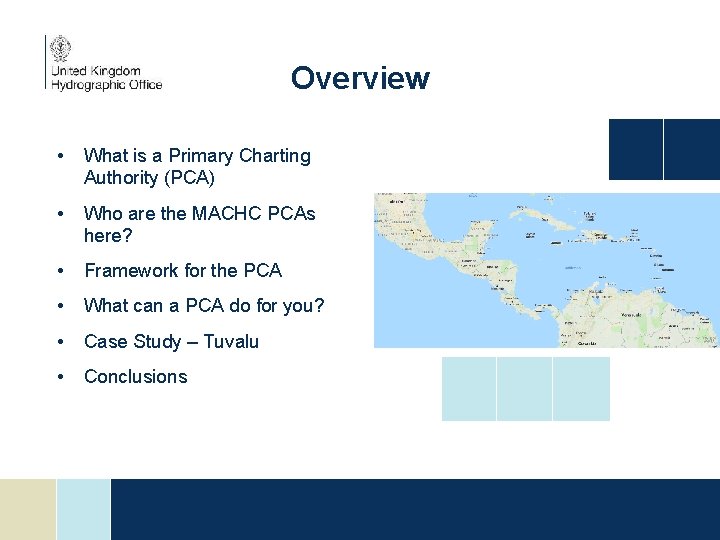
Overview • What is a Primary Charting Authority (PCA) • Who are the MACHC PCAs here? • Framework for the PCA • What can a PCA do for you? • Case Study – Tuvalu • Conclusions
What is a PCA? • There is no internationally accepted definition of a Primary Charting Authority • However, functionally the term refers to the role that an established hydrographic office, or charting authority can fulfil for another nation • The functions provided by the PCA are based on the need of the other nation • Quite often these are formalised by some kind of agreement.
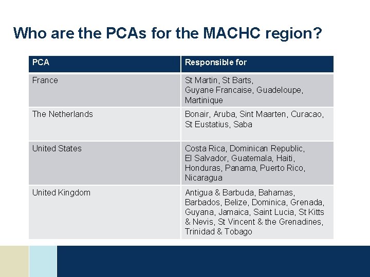
Who are the PCAs for the MACHC region? PCA Responsible for France St Martin, St Barts, Guyane Francaise, Guadeloupe, Martinique The Netherlands Bonair, Aruba, Sint Maarten, Curacao, St Eustatius, Saba United States Costa Rica, Dominican Republic, El Salvador, Guatemala, Haiti, Honduras, Panama, Puerto Rico, Nicaragua United Kingdom Antigua & Barbuda, Bahamas, Barbados, Belize, Dominica, Grenada, Guyana, Jamaica, Saint Lucia, St Kitts & Nevis, St Vincent & the Grenadines, Trinidad & Tobago
Framework for the PCA SOLAS Chapter V Regulation 2: "Nautical chart" or "nautical publication" is a special-purpose map or book, or a specially compiled database from which such a map or book is derived, that is issued officially by or on the authority of a Government, authorized Hydrographic Office or other relevant government institution and is designed to meet the requirements of marine navigation.
Framework for the PCA IHO Publication S 4 B-611. 7 – Notice to Mariners (NM) originated by authorities concerning waters which are not their national charting responsibility should not normally be acted upon without obtaining corroboration from the national charting authority, if there is one. In certain circumstances, another hydrographic office may act as the ‘primary’ charting authority, for example where: • there is no national hydrographic office; or • where the responsible national agency, which does not itself produce charts, has agreed. In such cases, NM issued by the primary charting hydrographic office in those waters may be regarded as authoritative.
Framework for the PCA – INT Charts IHO Publication S 11 Article 3. 11. 1 - In most cases, the allocation of Producer Nations for INT charts will be a fairly straightforward process. For most medium- and large-scale INT charts, the Producer Nation will be the IHO Member State with responsibility for charting the waters covered by these charts. There will, however, be some exceptions. (For further information, see S-4 A-203). IHO Publication S 4 A-203 PRODUCERS A-203. 1 Producers of medium- and largescale international charts will normally be the hydrographic offices with a national responsibility for the waters concerned.
What does/can a PCA do for you? • Assist in meeting SOLAS obligations for hydrographic services • Provide charting services • Provide hydrographic surveying services • Provide technical assistance and advice • Advocate for support However, the above is only possible with 2 way Communication!
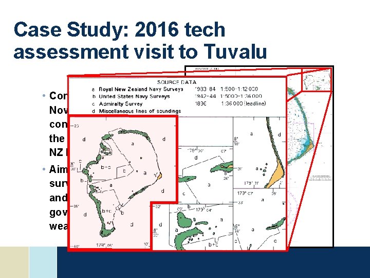
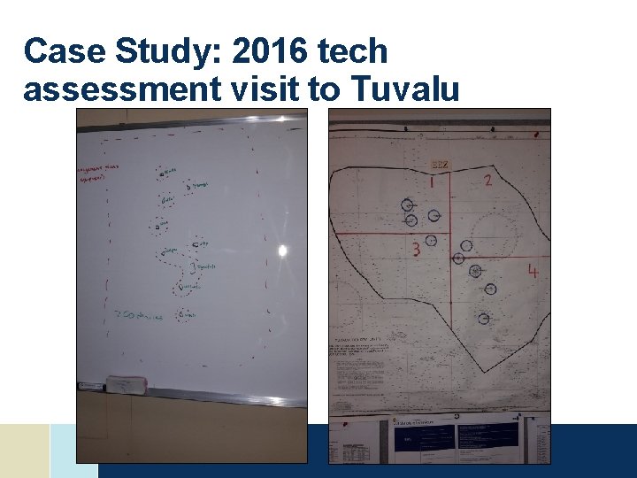
Case Study: 2016 tech assessment visit to Tuvalu • Conducted in Early November in conjunction with the IHO, SPC, and NZ MFAT • Aim: to assess survey priorities and hydrographic governance weaknesses
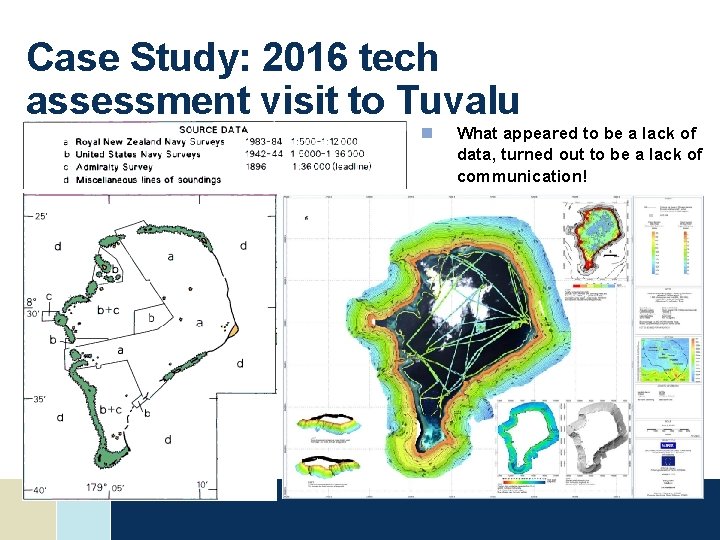
Case Study: 2016 tech assessment visit to Tuvalu n What appeared to be a lack of data, turned out to be a lack of communication!
Case Study: 2016 tech assessment visit to Tuvalu
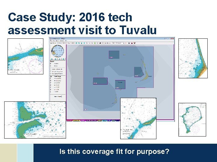
Case Study: 2016 tech assessment visit to Tuvalu Is this coverage fit for purpose?
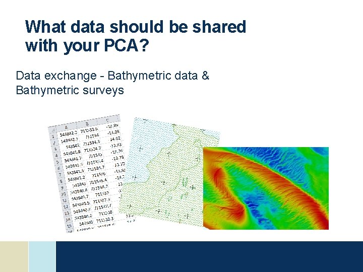
What data should be shared with your PCA? Data exchange - Bathymetric data & Bathymetric surveys
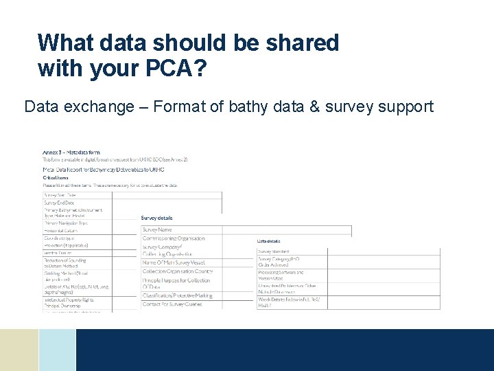
What data should be shared with your PCA? Data exchange – Format of bathy data & survey support
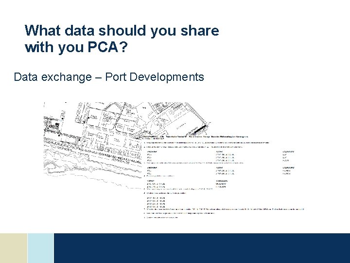
What data should you share with you PCA? Data exchange – Port Developments
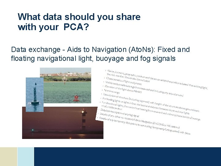
What data should you share with your PCA? Data exchange - Aids to Navigation (Ato. Ns): Fixed and floating navigational light, buoyage and fog signals
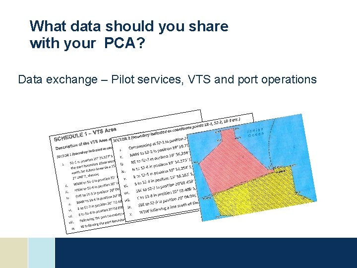
What data should you share with your PCA? Data exchange – Pilot services, VTS and port operations
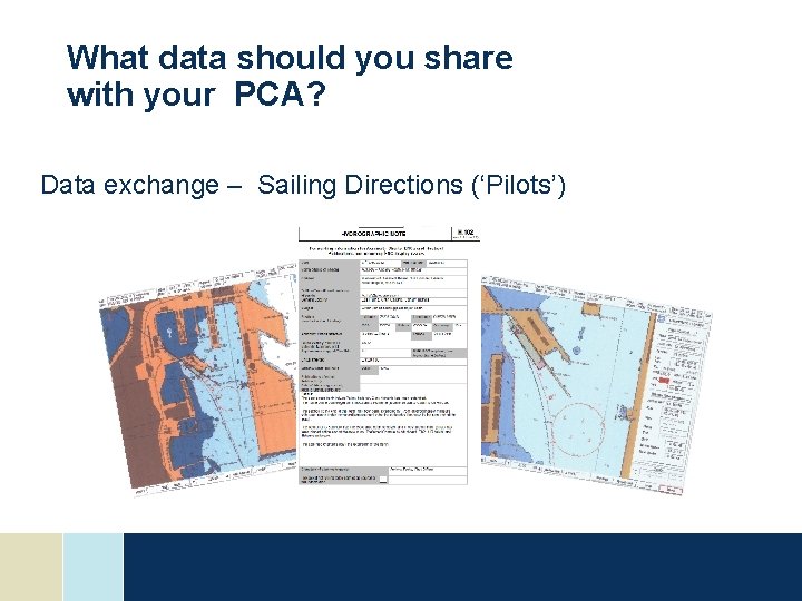
What data should you share with your PCA? Data exchange – Sailing Directions (‘Pilots’)
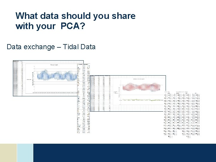
What data should you share with your PCA? Data exchange – Tidal Data
What data should you share with your PCA? Data exchange – Topographic information Data sent through hydrographic notes
Conclusions • A PCA can assist a nation in meeting obligations, but does not absolve the nation of those obligations • Determine what is needed and establish formal arrangements through a bilateral to establish accountability framework – review as necessary • Use your PCA and engage with them actively • A good PCA arrangement should reflect a partnership
22 Supplying the right data in the correct format helps the PCA keep your charts and publications up to date whilst ensuring you are meeting international treaty obligations Thank You