
The RAMOTSWA Project Overview Links to Workshop Objectives
The RAMOTSWA Project: Overview & Links to Workshop Objectives Jonathan Lautze (IWMI) Transboundary Aquifer Workshop, 6 March, Gaborone
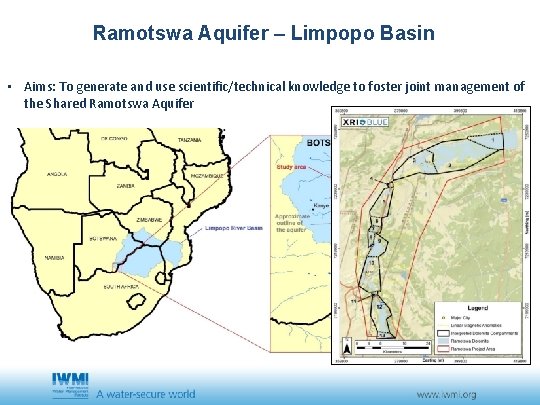
Ramotswa Aquifer – Limpopo Basin • Aims: To generate and use scientific/technical knowledge to foster joint management of the Shared Ramotswa Aquifer
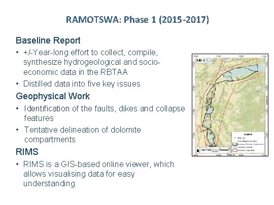
RAMOTSWA: Phase 1 (2015 -2017) Baseline Report • +/-Year-long effort to collect, compile, synthesize hydrogeological and socioeconomic data in the RBTAA • Distilled data into five key issues Geophysical Work • Identification of the faults, dikes and collapse features • Tentative delineation of dolomite compartments RIMS • RIMS is a GIS-based online viewer, which allows visualising data for easy understanding
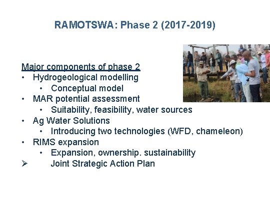
RAMOTSWA: Phase 2 (2017 -2019) Major components of phase 2 • Hydrogeological modelling • Conceptual model • MAR potential assessment • Suitability, feasibility, water sources • Ag Water Solutions • Introducing two technologies (WFD, chameleon) • RIMS expansion • Expansion, ownership. sustainability Ø Joint Strategic Action Plan
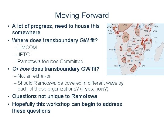
Moving Forward • A lot of progress, need to house this somewhere • Where does transboundary GW fit? – LIMCOM – JPTC – Ramotswa-focused Committee • Or how does transboundary GW fit? – Not an either-or – Should Ramotswa be covered in different ways by each of these organizations? (if yes, how? ) • Questions not unique to Ramotswa • Hopefully this workshop can begin to address these questions
Thank You Project website: http: //ramotswa. iwmi. org/
- Slides: 6