The Private Pilot Class 8 Weather Weather Services


















- Slides: 70

The Private Pilot

• Class 8 Weather & Weather Services, Beginning the Flight Plan

Objective: To cover the flight planning process from weather through charts and pilot calculations necessary for safe flight Introduction to the E 6 B.

Weather Reports and Published Forecasts (DUATS) http: //www. duats. com/

• AIRMET: Wx Conditions hazardous to small, single engine aircraft. • SIGMET: Wx Conditions hazardous to ALL aircraft. (Like Severe Icing, or Turbulence) • CONVECTIVE SIGMET: Tornados, embedded thunderstorms, hail 3/4 inch or greater diameter.

• AREA FORECASTS (FA) The aviation area forecast (FA) gives a picture of clouds, general weather conditions, and visual meteorological conditions (VMC) expected over a large area encompassing several states. • There are only six areas for which area forecasts are published in the contiguous 48 states. • Area forecasts are issued three times a day and are valid for 18 hours. This type of forecast gives information vital to en route operations as well as forecast information for smaller airports that do not have terminal forecasts.


Weather Briefings by Phone (800 -WX BRIEF) • Good Morning, I’d like to get a STANDARD VFR briefing for AIRCRAFT n 15 FA, A Grumman Trainer, AA-1 B, taking off out of KUNV (University Park) at 9 AM EDT, to KJST, DIRECT, at 6500.


When telephoning a weather briefing facility for preflight weather information, pilots should state A) the aircraft identification or the pilot's name. B) true airspeed. C) fuel on board.

When requesting weather information for the following morning, a pilot should request A) an outlook briefing. B) a standard briefing. C) an abbreviated briefing.

To get a complete weather briefing for the planned flight, the pilot should request A) a general briefing. B) an abbreviated briefing. C) a standard briefing.

Which type weather briefing should a pilot request, when departing within the hour, if no preliminary weather information has been received? A) Outlook briefing. B) Abbreviated briefing. C) Standard briefing.

Which type of weather briefing should a pilot request to supplement mass disseminated data? A) An outlook briefing. B) A supplemental briefing. C) An abbreviated briefing.

Other Charts and Sources of Wx Info

• • • METAR Winds reference TRUE North Peak Gusts are denoted by “G” Cloud Heights or visibility into an obscuration are reported with three digits in hundreds of feet. Visibility in Statute Miles (SM) CIG is the lowest broken or overcast obscuration in feet AGL VFR is 3 Miles vis, CIG 1000 or greater. RMK is Remarks considered significant to aviation operations.


(Refer to figure 12. ) Which of the reporting stations have VFR weather? A) All. B) KINK, KBOI, and KJFK. C) KINK, KBOI, and KLAX.

For aviation purposes, ceiling is defined as the height above the Earth's surface of the A) lowest reported obscuration and the highest layer of clouds reported as overcast. B) lowest broken or overcast layer or vertical visibility into an obscuration. C) lowest layer of clouds reported as scattered, broken, or thin.

(Refer to figure 12. ) The wind direction and velocity at KJFK is from A) 180° true at 4 knots. B) 180° magnetic at 4 knots. C) 040° true at 18 knots.

(Refer to figure 12. ) The remarks section for KMDW has RAB 35 listed. This entry means A) blowing mist has reduced the visibility to 1 -1/2 SM. B) rain began at 1835 Z. C) the barometer has risen. 35 inches Hg.

(Refer to figure 12. ) What are the current conditions depicted for Chicago Midway Airport (KMDW)? A) Sky 700 feet overcast, visibility 1 -1/2 SM, rain. B) Sky 7000 feet overcast, visibility 1 -1/2 SM, heavy rain. C) Sky 700 feet overcast, visibility 11, occasionally 2 SM, with rain.

• • PIREP - Pilot Reports: UA Sky = SK with the base and top. Wind Direction and Velocity are shown as “WV” and the direction, then speed. The last digit of the wind direction is dropped. • Turbulence is “TB” followed by “SVR”, “MDT”, or “LGT”. With the altitude of the layer • Icing is reported as “IC” followed by its intensity.


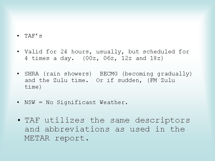
• TAF’s • Valid for 24 hours, usually, but scheduled for 4 times a day. (00 z, 06 z, 12 z and 18 z) • SHRA (rain showers) BECMG (becoming gradually) and the Zulu time. Or if sudden, (FM Zulu time) • NSW = No Significant Weather. • TAF utilizes the same descriptors and abbreviations as used in the METAR report.

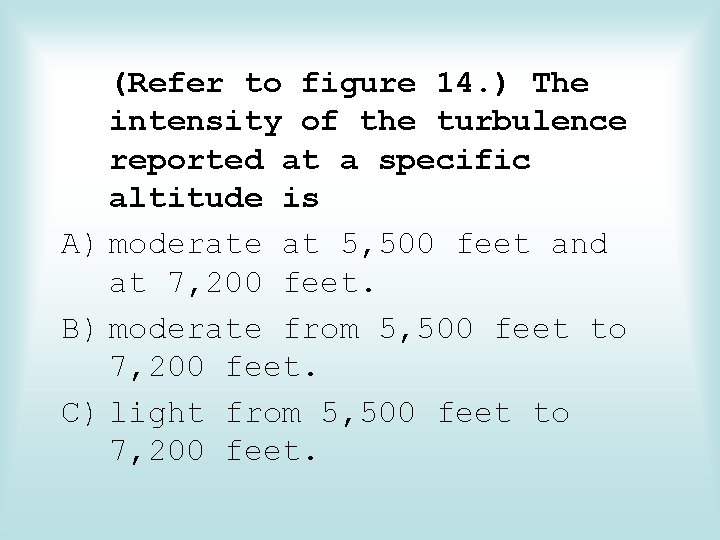
(Refer to figure 14. ) The intensity of the turbulence reported at a specific altitude is A) moderate at 5, 500 feet and at 7, 200 feet. B) moderate from 5, 500 feet to 7, 200 feet. C) light from 5, 500 feet to 7, 200 feet.

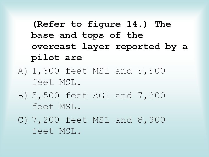
(Refer to figure 14. ) The base and tops of the overcast layer reported by a pilot are A) 1, 800 feet MSL and 5, 500 feet MSL. B) 5, 500 feet AGL and 7, 200 feet MSL. C) 7, 200 feet MSL and 8, 900 feet MSL.

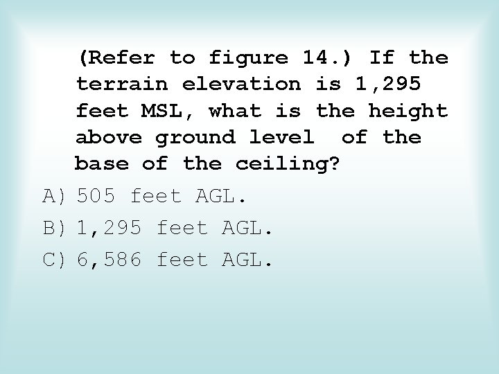
(Refer to figure 14. ) If the terrain elevation is 1, 295 feet MSL, what is the height above ground level of the base of the ceiling? A) 505 feet AGL. B) 1, 295 feet AGL. C) 6, 586 feet AGL.

(Refer to figure 14. ) The intensity and type of icing reported by a pilot is A) light to moderate. B) light to moderate clear. C) light to moderate rime.

(Refer to figure 14. ) The wind and temperature at 12, 000 feet MSL as reported by a pilot are A) 090° at 21 MPH and -9 °F. B) 080° at 21 knots and -7 °C. C) 090° at 21 knots and -9 °C.

(Refer to figure 15. ) What is the valid period for the TAF for KMEM? A) 1200 Z to 1200 Z. B) 1200 Z to 1800 Z. C) 1800 Z to 1800 Z.

(Refer to figure 15. ) In the TAF from KOKC, the clear sky becomes A) overcast at 2, 000 feet during the forecast period between 2200 Z and 2400 Z. B) overcast at 200 feet with a 40 percent probability of becoming overcast at 600 feet during the forecast period between 2200 Z and 2400 Z. C) overcast at 200 feet with the probability of becoming overcast at 400 feet during the forecast period between 2200 Z and 2400 Z.

(Refer to figure 15. ) During the time period from 0600 Z to 0800 Z, what visibility is forecast for KOKC? A) Greater than 6 statute miles. B) Possibly 6 statute miles. C) Not forecasted.

(Refer to figure 15. ) The only cloud type forecast in TAF reports is A) Nimbostratus. B) Cumulonimbus. C) Scattered cumulus.

(Refer to figure 15. ) Between 1000 Z and 1200 Z the visibility at KMEM is forecast to be? A) 1/2 statute mile. B) 3 statute miles. C) 6 statute miles.

• First two digits represent the wind direction to true north. 2 nd two are speed. • Temps above 24, 000 feet are assumed negative • Winds of 100 to 199 knots have a 50 added to the direction. (If wind direction is ABOVE 360, then subtract 50 to get the direction, and add 100 to the speed. ) • “Light and Variable” winds are coded as 9900 and less than 5 knots.

(Refer to figure 17. ) What wind is forecast for STL at 9, 000 feet? A) 230° true at 32 knots. B) 230° true at 25 knots. C) 230° magnetic at 25 knots.


WEATHER DEPICTION CHART details surface conditions as derived from METAR and other surface observations. Displays major fronts or areas of high and low pressure. Provides a graphic display of IFR, VFR, and MVFR (marginal VFR) weather.

Areas of IFR conditions(ceilings less than 1, 000 feet and visibility less than 3 miles) are shown by a hatched area outlined by a smooth line. MVFR regions (ceilings 1, 000 to 3, 000 feet, visibility 3 to 5 miles) are shown by a non-hatched area outlined by a smooth line. Areas of VFR (no ceiling or ceiling greater than 3, 000 feet and visibility greater than 5 miles) are not outlined.

(Refer to figure 18. ) What weather phenomenon is causing IFR conditions in central Oklahoma? A) Low visibility only. B) Low ceilings and visibility. C) Heavy rain showers.

(Refer to figure 18. ) The marginal weather in central Kentucky is due to low A) ceiling. B) visibility. C) ceiling and visibility.

(Refer to figure 18. ) Of what value is the Weather Depiction Chart to the pilot? A) For determining general weather conditions on which to base flight planning. B) For a forecast of cloud coverage, visibilities, and frontal activity. C) For determining frontal trends and air mass characteristics.

(Refer to figure 18. ) The IFR weather in northern Texas is due to A) intermittent rain. B) low ceilings. C) dust devils.

(Refer to figure 18. ) What is the status of the front that extends from Nebraska through the upper peninsula of Michigan? A) Stationary. B) Warm C) Cold.

(Refer to figure 18. ) According to the Weather Depiction Chart, the weather for a flight from southern Michigan to north Indiana is ceilings A) less than 1, 000 feet and/or visibility less than 3 miles. B) greater than 3, 000 feet and visibility greater than 5 miles. C) 1, 000 to 3, 000 feet and/or visibility 3 to 5 miles.


RADAR SUMMARY CHART is a graphically depicted collection of radar weather reports (SDs). • Published hourly at 35 minutes past the hour. • Displays areas of precipitation as well as information regarding the characteristics of the precipitation.

• Precipitation Intensity • Height of Tops • Movement of Cells • Type of Precipitation (No Cloud Info!)


(Refer to figure 19, area D. ) What is the direction and speed of movement of the cell? A) North at 17 knots. B) North at 17 MPH. C) South at 17 knots.

(Refer to figure 19, area B. ) What is the top for precipitation of the radar return? A) 24, 000 feet AGL. B) 24, 000 feet MSL. C) 2, 400 feet MSL.

(Refer to figure 19, area E. ) The top of the precipitation of the cell is A) 16, 000 feet AGL. B) 16, 000 feet MSL. C) 25, 000 feet MSL.


SIGNIFICANT WEATHER PROGNOSTIC CHARTS Significant Weather Prognostic Charts are available for low-level significant weather from the surface to FL 240 (24, 000 feet), also referred to as the 400 millibar level, and high-level significant weather from FL 250 to FL 600 (25, 000 to 60, 000 feet).

• Ceilings and Heights • VFR/IFR/MVFR • Turbulence • Freezing (Prognostic = Prediction) http: //www. snapflight. com/

(Refer to figure 20. ) Interpret the weather symbol depicted in Utah on the 12 -hour Significant Weather Prognostic Chart. A) Moderate turbulence, surface to 18, 000 feet. B) Thunderstorm tops at 18, 000 feet. C) Base of clear air turbulence, 18, 000 feet.

(Refer to figure 20. ) How are Significant Weather Prognostic Charts best used by a pilot? A) For overall planning at all altitudes. B) For determining areas to avoid (freezing levels and turbulence). C) For analyzing current frontal activity and cloud coverage.

(Refer to figure 20. ) At what altitude is the freezing level over the middle of Florida on the 12 hour Significant Weather Prognostic Chart? A) 4, 000 feet. B) 8, 000 feet. C) 12, 000 feet.

(Refer to figure 20. ) What weather is forecast for the Florida area just ahead of the stationary front during the first 12 hours? A) Ceiling 1, 000 to 3, 000 feet and/or visibility 3 to 5 miles with continuous precipitation. B) Ceiling 1, 000 to 3, 000 feet and/or visibility 3 to 5 miles with intermittent percipitation. C) Ceiling less than 1, 000 feet and/or visibility less than 3 miles with continuous precipitation.

TRANSCRIBED WEATHER BROADCAST (TWEB) A transcribed weather broadcast is a weather report transmitted continuously over selected navaids. On a sectional chart, a “T” in the upper right-hand corner of the navaid box indicates TWEB availability. TWEB weather usually consists of routeorientated data.

Aeronautical Charts & the Flight Computer E 6 B

(Refer to figure 22. ) What is the estimated time en route from Mercer County Regional Airport (area 3) to Minot International (area 1)? The wind is from 330° at 25 knots and the true airspeed is 100 knots. Add 3 -1/2 minutes for departure and climb-out. A) 44 minutes. B) 48 minutes. C) 52 minutes.


(Refer to figure 26. ) What is the estimated time en route for a flight from Denton Muni (area 1) to Addison (area 2)? The wind is from 200° at 20 knots, the true airspeed is 110 knots, and the magnetic variation is 7° east. A) 13 minutes. B) 16 minutes. C) 19 minutes.


(Refer to figure 22. ) An airship crosses over Minot VORTAC (area 1) at 1056 and over the creek 8 nautical miles south-southeast on Victor 15 at 1108. What should be the approximate position on Victor 15 at 1211? A) Over Lake Nettie National Wildlife Refuge. B) Crossing the road east of Underwood. C) Over the powerlines east of Washburn Airport.

(Refer to figure 22. ) Determine the magnetic heading for a flight from Mercer County Regional Airport (area 3) to Minot International (area 1). The wind is from 330° at 25 knots, the true airspeed is 100 knots, and the magnetic variation is 10° east. A) 002°. B) 012°. C) 352°.

TAKE A TEST