The Norwegian Pilot Guide Sailing Directions Anniken Puntervold


- Slides: 29
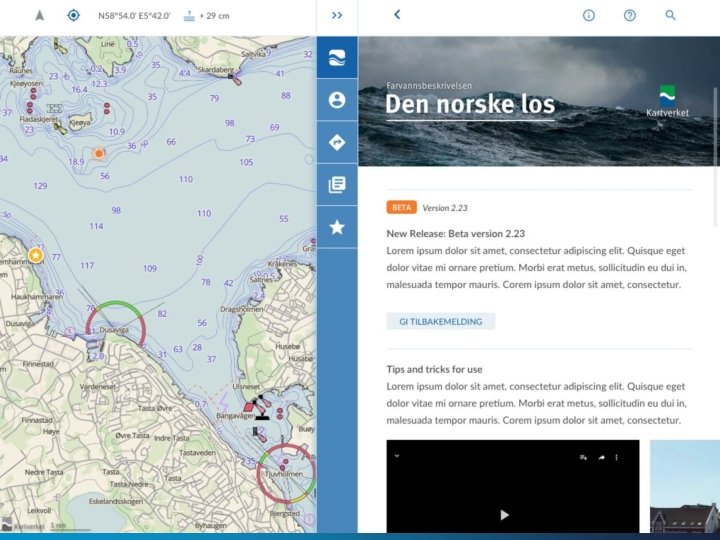
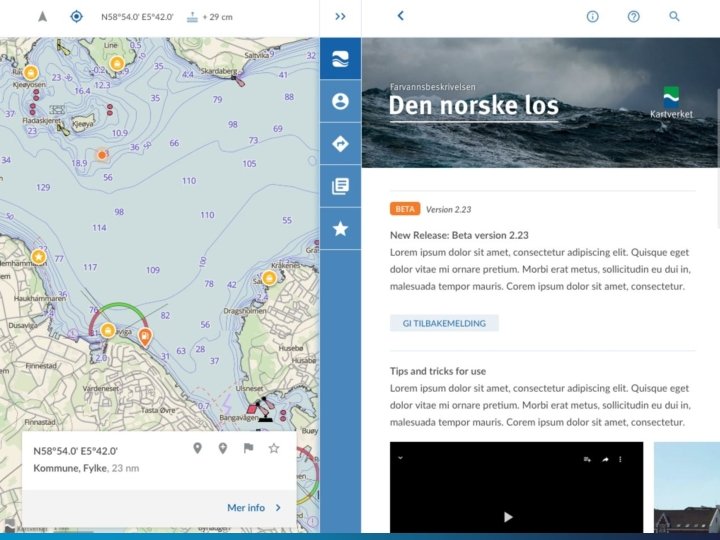
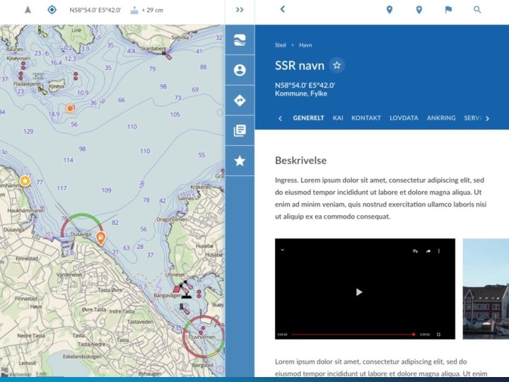
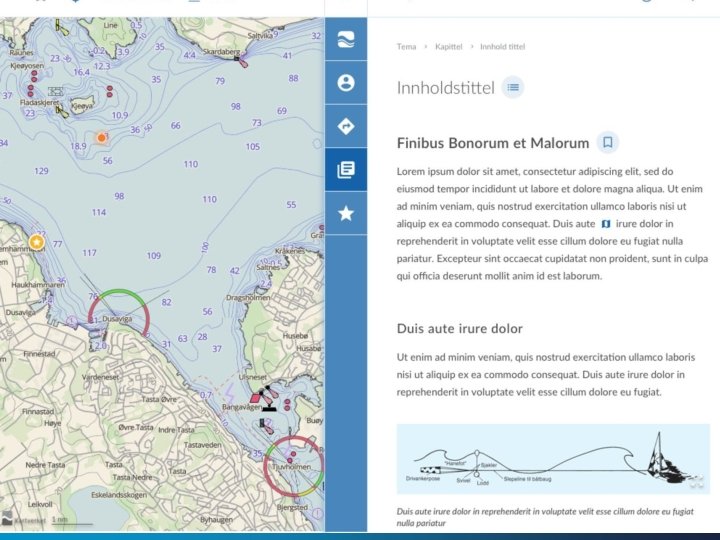
The Norwegian Pilot Guide – Sailing Directions Anniken Puntervold The Norwegian Mapping Authority Hydrographic Service New Hampshire, May 2017 PHOTO: PORT OF STAVANGER
Dataflow
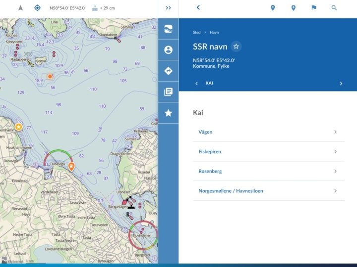
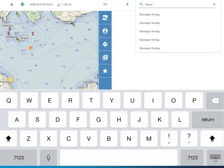
Place Names
Chart Sources
Chart Sources • The main challenge is to limit the total amount of data due to the need of an offline mode • http: //tools. geofabrik. de/calc/ • The higher resolution on the different sources, the more storage they demand • Find a balance between what to display and store
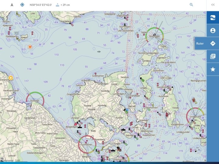
Chart Sources • Current data and detailing shown • The first screenshot shows bathymetry used in usage band 4, approach • On the second screenshot it is zoomed further in and usage band 5/6, harbor/berthing, appear
Chart Sources • Pure S-57 presentation – usage band NO 4
Chart Sources • Pure S-57 presentation – zoomed in to usage band NO 5
Chart Sources • Looking into the possibilities to implement even higher resolution land data (scale 1: 5000) and NHS primary data, which is the source for all S-57 products, also approx. scale 1: 5000. • This screenshot shows land data with scale 1: 5000, and NHS primary data without soundings and underwater rocks:
Chart Sources • • • Same area as the previous screenshot, zoomed in making soundings and underwater rocks appear. Equal detailed information as in usage band 5/6. Makes it possible to have the same details in areas where usage bands 5/6 not have been published.
Geonorge – geonorge. no • A governmental co-op for overview and access of public geodata and services • All partners must make their data available according to specified models • Each data owner administers their data and services • Data could be: • • Official chart data from the Norwegian Mapping Authority, including the NHS Statistics Norway, www. ssb. no Governmental departments etc. Data is offered as services(i. e. WMS, WFS) or complete datasets
External Sources
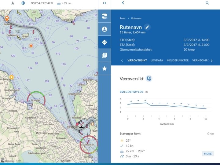
Distribution
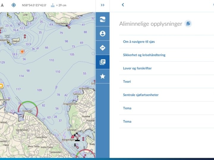
CMS
Approval – the Norwegian Mapping Authority
Tentative Timeline
Some Threat Scenarios
Question to NIPWG and IHO When we are digitizing the Norwegian pilot guide, we follow the guidelines from the IHO. • Do you know if there any rules for digital presentation of data and textual content? • Are there any concerns about using an application as one of the medias?
Thank you for your attention kveann@kartverket. no www. kartverket. no