
The NOPTILUS project overview A fullyautonomous navigation system

- Slides: 20
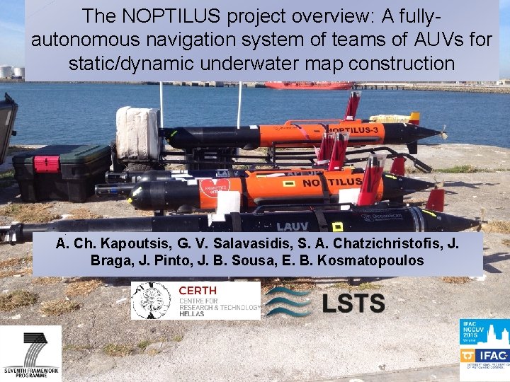
The NOPTILUS project overview: A fullyautonomous navigation system of teams of AUVs for static/dynamic underwater map construction A. Ch. Kapoutsis, G. V. Salavasidis, S. A. Chatzichristofis, J. Braga, J. Pinto, J. B. Sousa, E. B. Kosmatopoulos
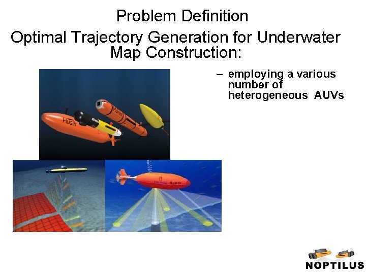
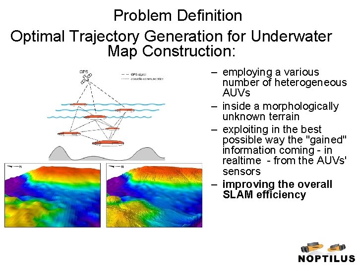
Problem Definition Optimal Trajectory Generation for Underwater Map Construction: – employing a various number of heterogeneous AUVs
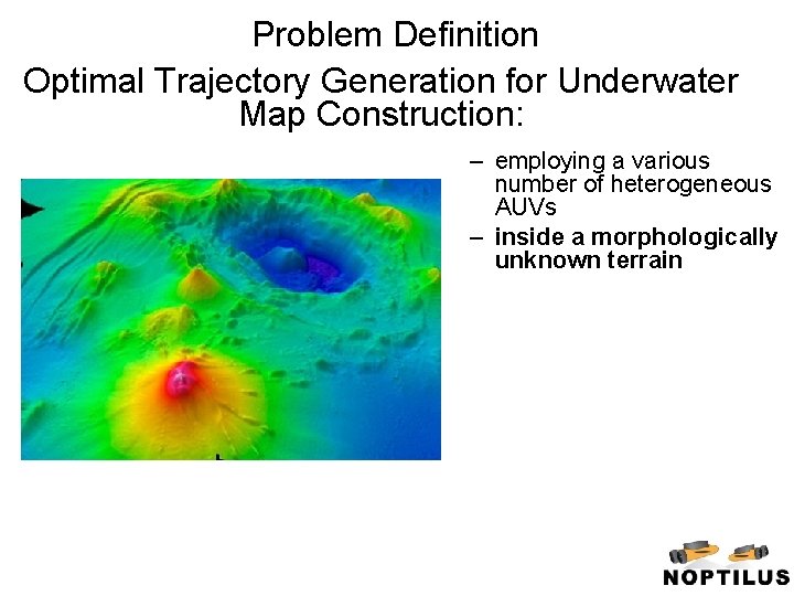
Problem Definition Optimal Trajectory Generation for Underwater Map Construction: – employing a various number of heterogeneous AUVs – inside a morphologically unknown terrain
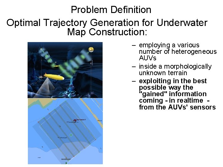
Problem Definition Optimal Trajectory Generation for Underwater Map Construction: – employing a various number of heterogeneous AUVs – inside a morphologically unknown terrain – exploiting in the best possible way the "gained" information coming - in realtime from the AUVs' sensors
Problem Definition Optimal Trajectory Generation for Underwater Map Construction: – employing a various number of heterogeneous AUVs – inside a morphologically unknown terrain – exploiting in the best possible way the "gained" information coming - in realtime - from the AUVs' sensors – improving the overall SLAM efficiency
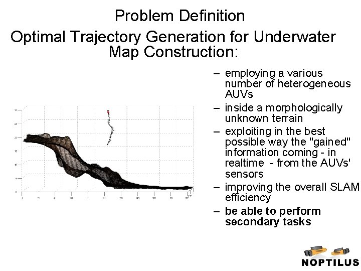
Problem Definition Optimal Trajectory Generation for Underwater Map Construction: – employing a various number of heterogeneous AUVs – inside a morphologically unknown terrain – exploiting in the best possible way the "gained" information coming - in realtime - from the AUVs' sensors – improving the overall SLAM efficiency – be able to perform secondary tasks
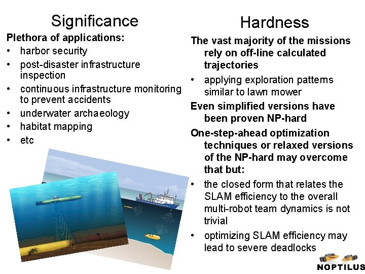
Significance Hardness Plethora of applications: • harbor security • post-disaster infrastructure inspection • continuous infrastructure monitoring to prevent accidents • underwater archaeology • habitat mapping • etc The vast majority of the missions rely on off-line calculated trajectories • applying exploration patterns similar to lawn mower Even simplified versions have been proven NP-hard One-step-ahead optimization techniques or relaxed versions of the NP-hard may overcome that but: • the closed form that relates the SLAM efficiency to the overall multi-robot team dynamics is not trivial • optimizing SLAM efficiency may lead to severe deadlocks
The proposed optimal-based control methodology • Based on PCAO, an optimal control-based approach • Extremely computational fast and efficient • Employs Bellman’s Principle (or, equivalently, the Hamilton-Jacobi-Bellman equation) • Optimality is guaranteed in cases of • Events/incidents (addition or removal of an AUV, an event identified by the situation understanding mechanism, etc) • Operator commands (e. g. , so as to modify the missions objectives) • Optimization-based: allows to interface with other modules (by appropriately modifying/revising the performance criterion) 8
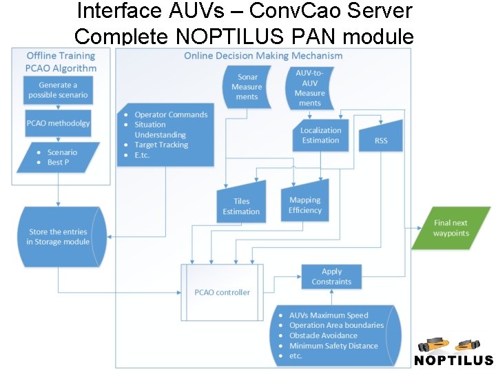
The proposed optimal-based control methodology The final PCAO-based NOPTILUS navigation module: • Employs a transformed version of the mapping accuracy/coverage • Automatic re-design in cases of events, incidents or operator commands • Interfaced to • Localization module • Underwater Acoustic Communication Maps • Situation Understanding Module • Operator Commands
Interface AUVs – Conv. Cao Server Complete NOPTILUS PAN module
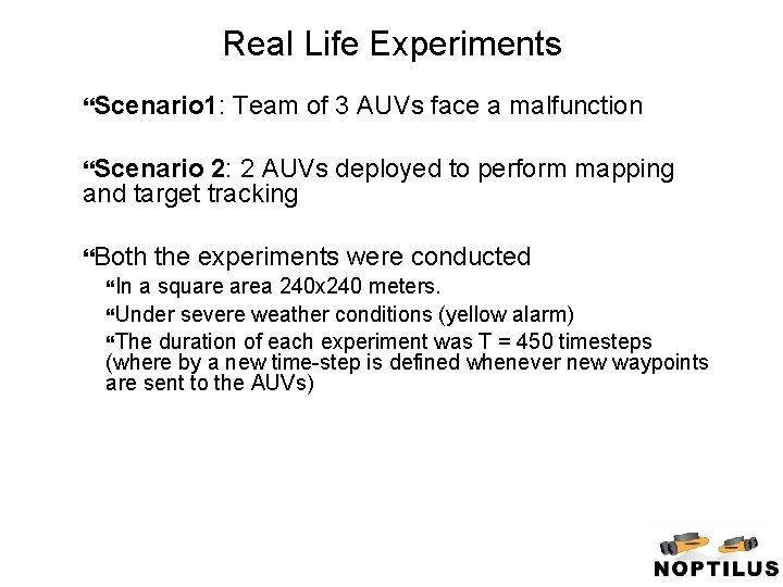
Real Life Experiments Scenario 1: Team of 3 AUVs face a malfunction Scenario 2: 2 AUVs deployed to perform mapping and target tracking Both In the experiments were conducted a square area 240 x 240 meters. Under severe weather conditions (yellow alarm) The duration of each experiment was T = 450 timesteps (where by a new time-step is defined whenever new waypoints are sent to the AUVs)
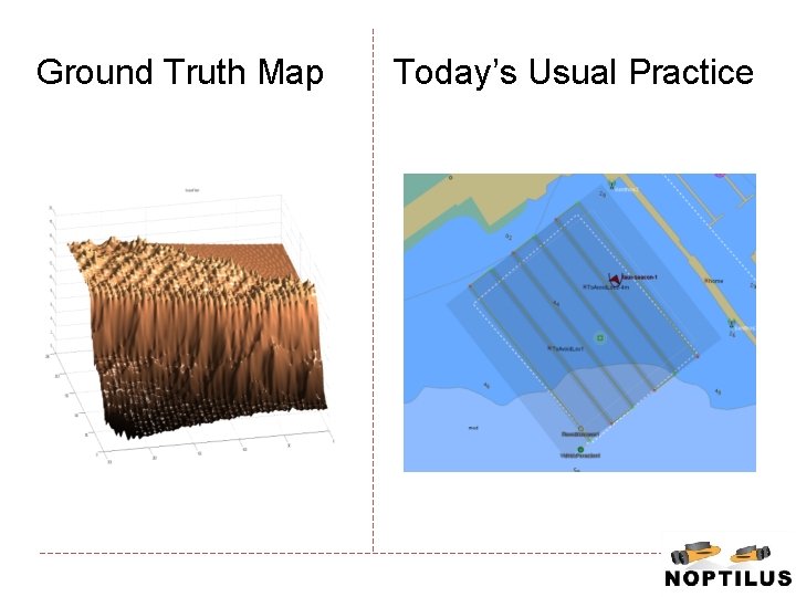
Ground Truth Map Today’s Usual Practice
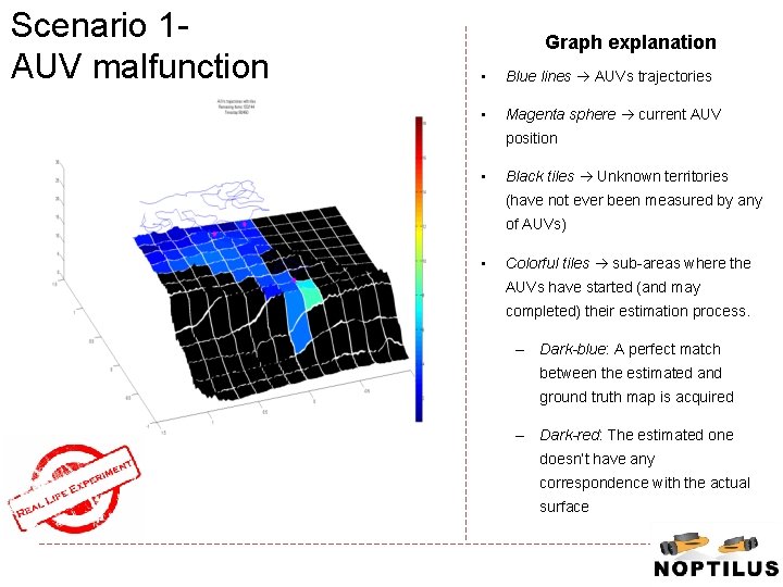
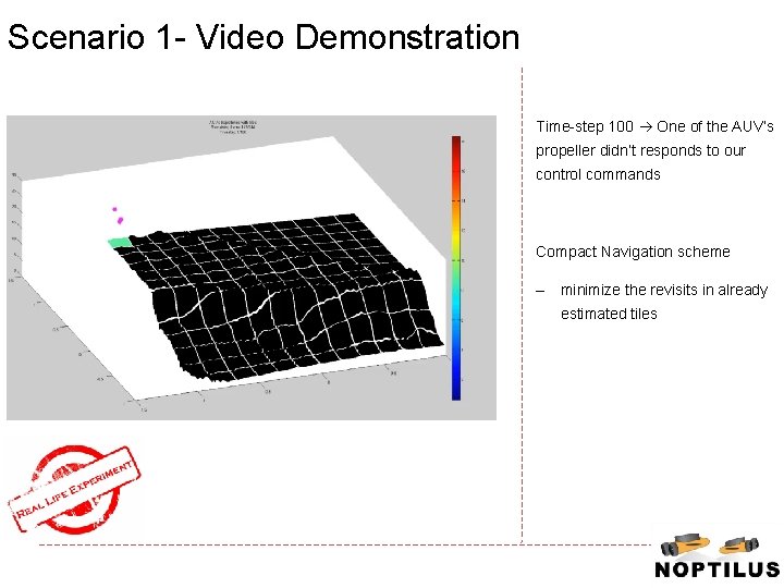
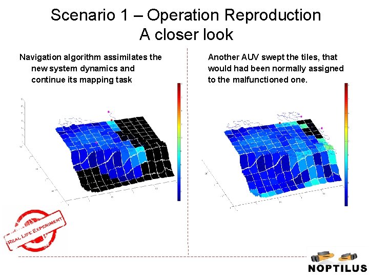
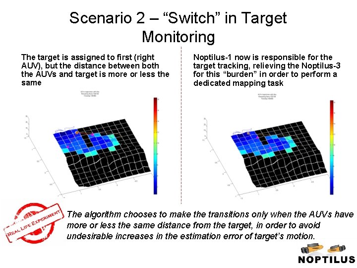
Scenario 1 AUV malfunction Graph explanation • Blue lines AUVs trajectories • Magenta sphere current AUV position • Black tiles Unknown territories (have not ever been measured by any of AUVs) • Colorful tiles sub-areas where the AUVs have started (and may completed) their estimation process. – Dark-blue: A perfect match between the estimated and ground truth map is acquired – Dark-red: The estimated one doesn’t have any correspondence with the actual surface
Scenario 1 - Video Demonstration Time-step 100 One of the AUV’s propeller didn’t responds to our control commands Compact Navigation scheme – minimize the revisits in already estimated tiles
Scenario 1 – Operation Reproduction A closer look Navigation algorithm assimilates the new system dynamics and continue its mapping task Another AUV swept the tiles, that would had been normally assigned to the malfunctioned one. 15
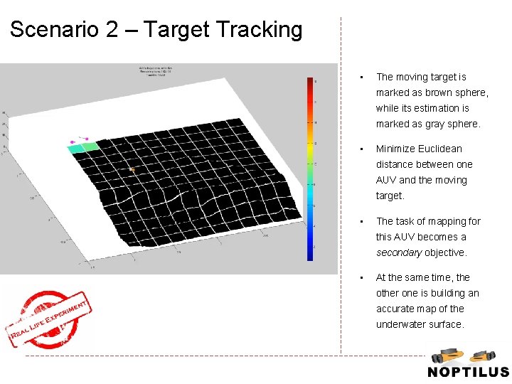
Scenario 2 – Target Tracking • The moving target is marked as brown sphere, while its estimation is marked as gray sphere. • Minimize Euclidean distance between one AUV and the moving target. • The task of mapping for this AUV becomes a secondary objective. • At the same time, the other one is building an accurate map of the underwater surface.
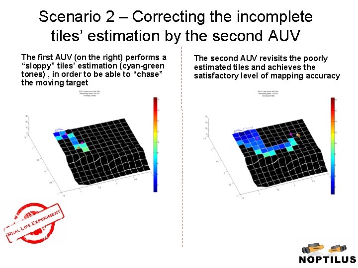
Scenario 2 – Correcting the incomplete tiles’ estimation by the second AUV The first AUV (on the right) performs a “sloppy” tiles’ estimation (cyan-green tones) , in order to be able to “chase” the moving target The second AUV revisits the poorly estimated tiles and achieves the satisfactory level of mapping accuracy
Scenario 2 – “Switch” in Target Monitoring The target is assigned to first (right AUV), but the distance between both the AUVs and target is more or less the same Noptilus-1 now is responsible for the target tracking, relieving the Noptilus-3 for this “burden” in order to perform a dedicated mapping task The algorithm chooses to make the transitions only when the AUVs have more or less the same distance from the target, in order to avoid undesirable increases in the estimation error of target’s motion.
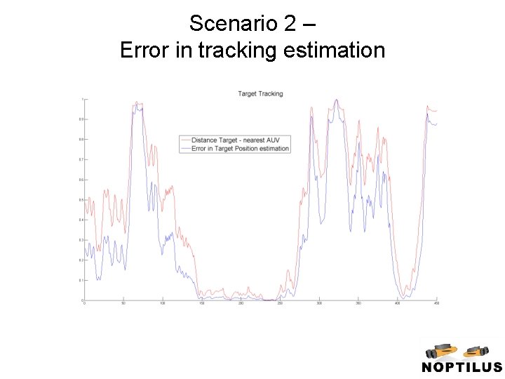
Scenario 2 – Error in tracking estimation
Conclusions Extend the basic PCAO-based methodology so as to incorporate: a revised version of the mapping efficiency information coming from other NOPTILUS modules PCAO’s superiority against other state-of-the-art optimization algorithms Ideal for real-life implementations utilizing heterogeneous vehicles independent of the SLAM methodology employed deal with various fault situations/events/operator commands