The Nippon Foundation GEBCO SEABED 2030 100 of

The Nippon Foundation – GEBCO SEABED 2030 100% of the Ocean Floor Mapped by 2030

Seabed 2030 Mission 100% of the Ocean Floor Mapped by 2030 To empower the world to make policy decisions, use the ocean sustainably and undertake scientific research based on detailed bathymetric information of the Earth’s seabed Supports United Nations Sustainable Development Goal 14 : to conserve and sustainably use the world’s oceans, seas and marine resources

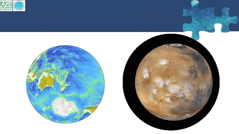
What does “ 100% mapped” mean? The GEBCO global terrain model grid � ship-track soundings + interpolation guided by satellite-derived gravity data � Includes regional grids which may be based on different interpolation models 18% of 30” cells have depth measurements 6% of 15” cells have depth measurements Real depth measurements Interpolated depth values Depth values derived from statistics of real depth values.

Target Grid Variable Resolution Target GEBCO Grid Depth-dependent Variable Resolution Depth Range Resolution % of ocean 0– 1500 m 100 × 100 m 13. 7 1500– 3000 m 200 × 200 m 11 3000– 5750 m 400 × 400 m 72. 6 5750– 11, 000 m 800 × 800 m 2. 7

Four Pillars of Seabed 2030 • Data Assembly and Coordination • Integrate and process existing data & identify data gaps to inform future mapping missions • Promote data sharing by encouraging contribution of data to the IHO DCDB • Create new data products – distribute through GEBCO • Global Community Engagement • Identify & engage stakeholders through community events, traditional & digital media • Consolidate Technical and Human Capacity • Explore and leverage new technology • Engage GEBCO Nippon Foundation Training Project Alumni • Cross-cutting area of Corporate Governance • Strong stakeholder communication • Legal and accounting standards

Working plan WP 1: Gathering, synthesizing, publishing bathymetric data Merging all available data into the high resolution ocean map WP 2: Development of standards, data assembly and delivery tools Developing the tools and systems to facilitate building and using the map. WP 3: Technology innovation Identifying and encouraging technical innovation in bathymetric mapping WP 4: Networking: map the gaps Future mapping expeditions to increase the coverage WP 5: Management Managing the project

Seabed 2030 Culture • Co-operation and Community Building • 3, 000 individuals, 40 organizations, 50 countries and growing • Coordination • • Initial Seabed 2030 focus on > 200 meters water depth Hydrographic Offices critical < 200 meters water depth • Crowdsourcing • Fishing boats, cargo, passenger and cruise ships, private yachts… • Credit and Attribution • Recognize data contributions, in-kind services, promotion, capacity building… https: //seabed 2030. gebco. net @seabed 2030

Seabed 2030 Governance & Operations SCRUM GEBCO Guiding Committee SCUFN TSCOM Advisory Group Project Team N Pacific & Arctic Ocean Atlantic & Indian Ocean Global Center Director + Center leads Southern Ocean South & West Pacific Review Panel

Operational since 1 st February 2018 From left to right: - Graham Allen (Establishment Team) - Vicki Ferrini (Regional Centre Lead) - Larry Mayer (Regional Center co-Lead) - Helen Snaith (Global Center Lead) - Boris Dorschel (Regional Center Lead) - Pauline Weatherall (Digital Atlas Manager) - Martin Jakobsson (Regional Center co-Lead) - Geoffroy Lamarche (Regional Center Lead) - Patrick Orr (Comms) - Henry Gilliver (Comms) New mapping technologies Illustration: Marine Dep. Malaysia Seabed 2030 Governance & Operations Leader Team

Seabed 2030 Governance & Operations Strategic Advisroy Group Advisory Group Dawn Wright Chief Scientist, ESRI Bjorn Jalving Executive VP, Konsberg Maritime Dr. Kilaparti Ramakrishna Head of Strategy, Green Climate Fund Yulia Zarayskaya NF-GEBCO Alumni Team Lead XPrize

Regional Approach SU BODC AWI UNH LDEO NIWA-GNS-LINZ • Regional stakeholders • Regional data assembly & coordination • Regional products feed into global GEBCO products • Follows successful model of GEBCO Regional Mapping approach

Data Sources Break down of the source of data types that the GEBCO grid is based on Grid cell type (30 arc-second) GEBCO_2014 New grid Interpolation guided by satellite-derived gravity data 66. 5% 62. 4% Interpolation guided by computer programme, e. g. GMT 14% 14. 3% Multibeam 9% 12. 4% Single beam 1. 9% 1. 8% Pre-generated grid 2. 7% 4. 3% Unidentified track type 3. 9% 2. 8% Isolated soundings, e. g. ENC soundings 0. 1% Contours 1. 9%
- Slides: 13