The Iowa Environmental Mesonet KCCI School Net National

- Slides: 1

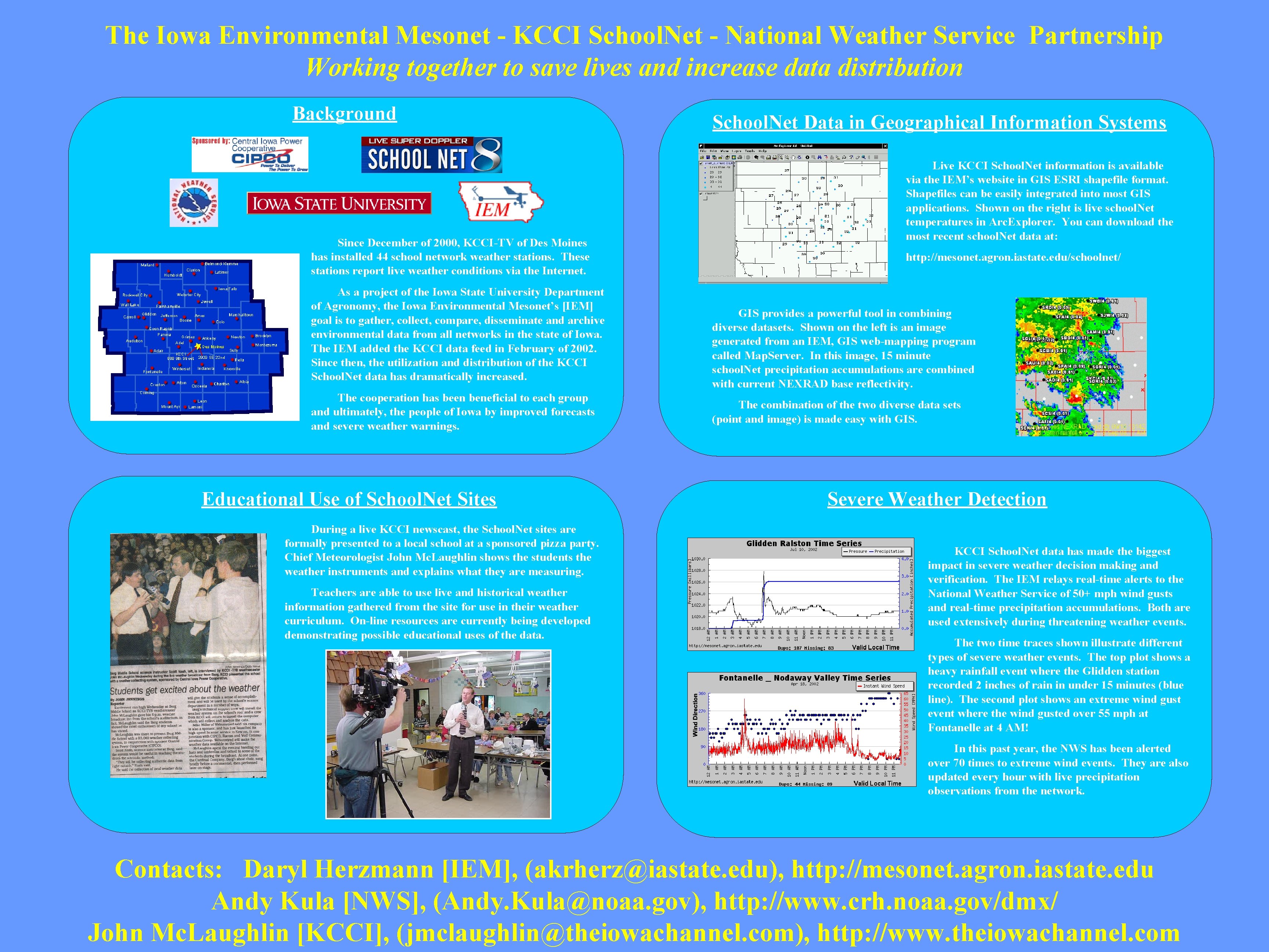
The Iowa Environmental Mesonet - KCCI School. Net - National Weather Service Partnership Working together to save lives and increase data distribution Background Since December of 2000, KCCI-TV of Des Moines has installed 44 school network weather stations. These stations report live weather conditions via the Internet. As a project of the Iowa State University Department of Agronomy, the Iowa Environmental Mesonet’s [IEM] goal is to gather, collect, compare, disseminate and archive environmental data from all networks in the state of Iowa. The IEM added the KCCI data feed in February of 2002. Since then, the utilization and distribution of the KCCI School. Net data has dramatically increased. The cooperation has been beneficial to each group and ultimately, the people of Iowa by improved forecasts and severe weather warnings. Educational Use of School. Net Sites During a live KCCI newscast, the School. Net sites are formally presented to a local school at a sponsored pizza party. Chief Meteorologist John Mc. Laughlin shows the students the weather instruments and explains what they are measuring. Teachers are able to use live and historical weather information gathered from the site for use in their weather curriculum. On-line resources are currently being developed demonstrating possible educational uses of the data. School. Net Data in Geographical Information Systems Live KCCI School. Net information is available via the IEM’s website in GIS ESRI shapefile format. Shapefiles can be easily integrated into most GIS applications. Shown on the right is live school. Net temperatures in Arc. Explorer. You can download the most recent school. Net data at: http: //mesonet. agron. iastate. edu/schoolnet/ GIS provides a powerful tool in combining diverse datasets. Shown on the left is an image generated from an IEM, GIS web-mapping program called Map. Server. In this image, 15 minute school. Net precipitation accumulations are combined with current NEXRAD base reflectivity. The combination of the two diverse data sets (point and image) is made easy with GIS. Severe Weather Detection KCCI School. Net data has made the biggest impact in severe weather decision making and verification. The IEM relays real-time alerts to the National Weather Service of 50+ mph wind gusts and real-time precipitation accumulations. Both are used extensively during threatening weather events. The two time traces shown illustrate different types of severe weather events. The top plot shows a heavy rainfall event where the Glidden station recorded 2 inches of rain in under 15 minutes (blue line). The second plot shows an extreme wind gust event where the wind gusted over 55 mph at Fontanelle at 4 AM! In this past year, the NWS has been alerted over 70 times to extreme wind events. They are also updated every hour with live precipitation observations from the network. Contacts: Daryl Herzmann [IEM], (akrherz@iastate. edu), http: //mesonet. agron. iastate. edu Andy Kula [NWS], (Andy. Kula@noaa. gov), http: //www. crh. noaa. gov/dmx/ John Mc. Laughlin [KCCI], (jmclaughlin@theiowachannel. com), http: //www. theiowachannel. com