The Geographical Position of Russia Our Country Is


, from Maly Krasnokholmsky Bridge.")


- Slides: 23
The Geographical Position of Russia Our Country Is So Wide, That We Can Speak About It All Night!
With a total area of 17 million square kilometers, Russia is the largest country in the world. It spans two continents (Europe and Asia) and borders Poland, Ukraine, Belarus and the Baltic countries to the west, Finland to the north, Georgia, Kazakhstan, Azerbaijan, Mongolia and China to the south, and North Korea to the east. The United States and Japan are not far from the eastern coast of Russia.
The extreme northernmost point of the country's mainland is Cape Fligely on Rudolf Island of Franz Josef Land archipelago. The southernmost point is located in the Republic of Dagestan on the border with Azerbaijan.
The distance between the western and the eastern borders of Russia is 9, 000 km (from the Vistula Spit in Kaliningrad Bay to Cape Dezhnev in Chukotka); the easternmost point is Rotmanov Island in the Bering Strait. Thus, Russia's territory spans over 4, 000 km from north to south, and almost 10, 000 km from west to east.
The coasts of Russia are washed by 12 seas of three ocean basins: the Atlantic Ocean (the Baltic Sea, the Black Sea and the Sea of Azov), the Arctic Ocean (the Barents Sea, the White Sea, the Kara Sea, the Laptev Sea, the East Siberian Sea and the Chukchee Sea) and the Pacific Ocean (the Bering Sea, the Sea of Okhotsk and the Sea of Japan), as well the Caspian Sea, which is a
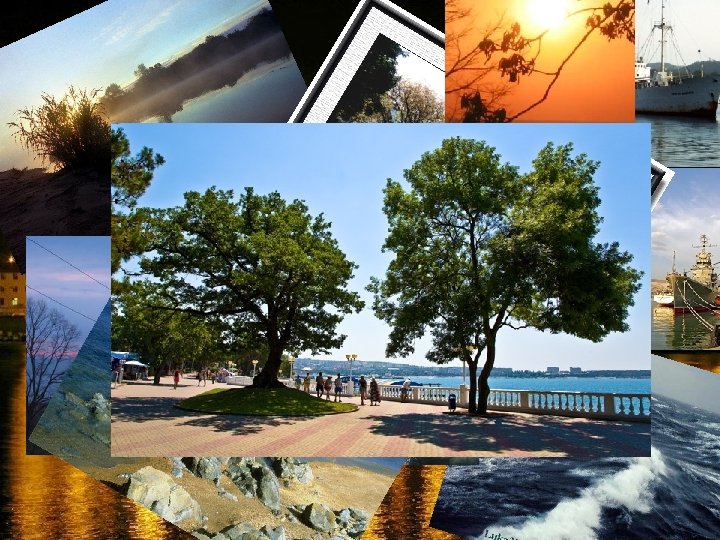
Due to its vast territory, Russia is a country of natural contrasts. The northern part of the country is located in the arctic and subarctic climate zones, while the southern regions have a subtropical climate. The climate of other regions of the country is moderate.
On a trail in Zelyony Gorod, near Kstovo Chernyayevsky Forest The Western Caucasus is a western region of Caucasus from the Black Sea to Mount Elbrus. It The Mountain pine forest 25 metres high vegetation of pine, linden and birch trees. Bushy flora, grassy tier. Wes t Kras ern Cau casu naya s Poly ana as see n fro m
Krasny Bor Forest, Karelia. Krasny Bor is a forest in the Petrozavodsk area, Karelia. Zelyony Gorod is a forested area in the south-eastern suburbs of Nizhny Novgorod in Russia
A lock at The Uglich Reservoir The Votkinsk Reservoir, is a reservoir formed by the dam of the Votkinsk. The Volgograd Reservoir is named after the city of Volgograd. The Zeyskoye Reservoir is a large water reservoir in Amur Oblast, Russia, north of the Chinese border The Rybinsk Reservoir The Novosibirsk Reservoir from space, October 1994
The Tsimlyansk Reservoir is located on the Don River on the territories of Rostov and Volgograd Oblasts. It is one of the largest reservoirs in Russia. The Rybinsk Reservoir, informally called the Rybinsk Sea Rocks and gypsum mine near the Kama's The Kuybyshev Reservoir is a mouth reservoir of the middle Volga and lower Kama The Gorky Reservoir is an artificial lake in the central part of the Volga River and the third in the world by surface area The Gorky Reservoir The Ivankovo Reservoir
The Saimaa Canal. Vodootvodny Canal, Zverev Bridge at dusk (2006), from Maly Krasnokholmsky Bridge. Ostankino Tower visible above rooftops (right) Lumber rafts on the Peter I Can Early 20 th century picture by S Prokudin-Gorsky Sluice at Shlisselburg The canal just north of Moscow, passing through
• The Great Arctic State Nature Reserve – the largest nature reserve of Russia and the whole Europe - was founded on May 11, 1993 by Resolution No. 431 of the Government of the Russian Federation (RF).
• Krasnodarskie stolby The offshoots of the mountains sinking in the green ocean of taiga approach the very outskirts of a great forge of Siberia - where else on Earth to find anything parallel? The growing Eastern Sayan mountains were pushed up by pulses of magma which arrived from great depths millions of years ago and left syenite outliers on the surface, rocky cliffs of a wonderful beauty. People call it "a land of fantastical rocks" or "a land of forest giants".
Lake Baikal
Olkhon Island is the geographical, historical and sacred center of Baikal, the heart of many legends and fairy tales. Beautiful landscapes captivate everybody
The Holy Nose Peninsula is the only peninsula in Lake Baikal. It is 53 km long and 20 km wide, with the highest elevation at 1877 meters. The territory of the peninsula is home to about 80 bears. From the plateau located on top of the Holy Nose Peninsula, one can enjoy a great panoramic view of the isthmus, the Chivyrkuisky and Barguzinsky Bays, and the Ushkany Islands. Ascending to the summit and returning to the camp at the shore of Baikal will take you a whole day.
• The bay is lined by mostly flat watersides which are densely vegetated with coniferous forest. The Chivyrkuisky Bay
Solovki
• Bolshoi, Anzer, Bolshaya and Malaya Maksalma, Bolshoi and Maliye Zayats
Wine regions of Russia Abrau-Dyurso is the center of Russia's most important winegrowing region. The settlement was founded as a royal winery which was to provide wine for the Tsar's household. Derbent is a city in the Republic of Dagestan, Russia. Derbent claims to be the oldest city in the Russian Federation. Kizlyar is a town in the Republic of Dagestan In the early 19 th century, Kizlyar became a center of viticulture and wine making.
Thank you for your attention