The Four Natural Regions of Texas Coastal Plains


 • Mostly flat and low elevation 0 -500 ft • Grasslands/plains, beaches/coastline,")


 Oil and Gas")


 • Rolling grass lands • Thick grasses • Western Crosstimbers – large")
 • Tornadoes • 20 -30 inches of rainfall/precipitation")
, sheep (wool) •")


 • Hot summers • Cold winters (snowfall is")
 • Ranching –")


 • Less than 8 inches of rain per")


- Slides: 26
The Four Natural Regions of Texas
Coastal Plains • 1/3 of the land of TX • NE border – Sabine River • SE border – Gulf of Mexico • W border – Balcones Escarpment NASA - Nov. 1998
Land (Landforms/Vegetation) • Mostly flat and low elevation 0 -500 ft • Grasslands/plains, beaches/coastline, wooded areas, marshes, swamps, bays • Major Rivers – Brazos, Colorado, • Very fertile soil, especially along rivers • Piney Woods Picture by Edward Frank
Texas Coastline and Coastal Prairie
The Piney Woods
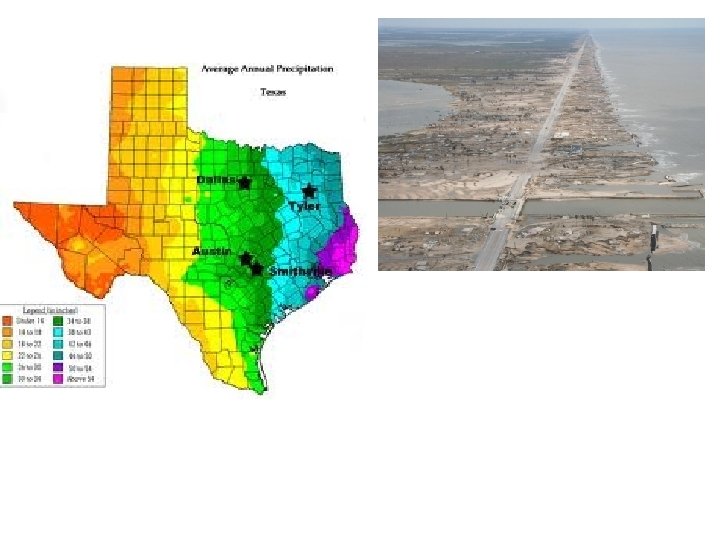
Climate • Most rainfall of all the regions!* Reason for largest population!!! • 30 -55 inches of rain per year • Hot, damp, very humid summers, most of winter is mild • Hurricanes, tornados, flash floods, thunderstorms
Major Economic Activities • • Fishing/shrimping Shipping/ports Lumber (Piney Woods area) Oil and Gas refineries Ranching Farming Manufacturing Technology/science (NASA, Texas Instruments)
Major Cities • • Austin Houston Dallas San Antonio
North Central Plains • E border is the Coastal Plains • S border is the Colorado River • N border is the Red River • W border is the Caprock Escarpment Photo @ asergeev. com
Land (Landforms/Vegetation) • Rolling grass lands • Thick grasses • Western Crosstimbers – large area of hardwood trees • Lots of limestone
Climate • Dry Air (not humid) • Tornadoes • 20 -30 inches of rainfall/precipitation per/year • Hot summers • Cold winters, snow
Major Economic Activities • Farming • Ranching- cattle, angora goats (mohair), sheep (wool) • Oil and Gas deposits • Manufacturing of airplanes, computers, clothing
Major Cities • • Ft. Worth Abilene San Angelo Wichita Falls
Great Plains • Most of Panhandle and Edwards Plateau • E border Caprock Escarpment • S border is Balcones Escarpment
Land • Flat grasslands with few trees • Canyons – Palo Duro Canyon (just east of Amarillo) • Llano Estacado—staked plain • Caprock Escarpment • Edwards Plateau • Red River • Pecos River Photo of Palo Duro Canyon by Mike Wilson
Llano Estacado • Shaded relief image of the Llano Estacado; the escarpments marking the edge of the Llano are clearly visible
Caprock Escarpment
Climate • Dry air (not humid) • Hot summers • Cold winters (snowfall is common • Dust storms • Tornadoes • 16 -20 inches of rain/precipitation per year DPS photo March 2009 blizzard Amarillo 1935 Dust Storm Amarillo - Louise George
Major Economic Activities • Farming – cotton, wheat (irrigate from wells) • Ranching – cattle, sheep, goat (mohair, especially around Edwards Plateau area) • Oil and gas deposits in the Permian Basin
Major Cities-p 552 • • • Amarillo Lubbock Midland Odessa Del Rio
Mountains and Basins • • Far west Texas E border - near Pecos River S border - Rio Grande N border – New Mexico
Land Photo courtesy of www. visitbigbend. com • 150 mountains – Guadalupe Peak (p 555) highest point in TX. • Plateaus • Basins • Deserts • Pecos & Rio Grande Rivers • Big Bend National Park(p 555)
Climate • Dry Air (not humid) • Less than 8 inches of rain per year – least rainfall of the 4 regions • Hot days, cool nights • Some short grasses • Shrubs • Desert plants • Some pine forests in mountains
Major Economic Activities • Ranching- cattle, sheep, goat (need lots of land must supplement with feed) • Farming- cotton, citrus fruits, vegetables, melons (made possible by irrigation) • Oil and gas deposits in Permian Basin • Tourism – Big Bend and mountains • Mining
Major Cities • El Paso • Fort Davis City of El Paso By forsyth 7707 on Aug 2009