
The Canadian Ice Service and Support to Mariners

- Slides: 23
The Canadian Ice Service and Support to Mariners Scott Weese Senior Ice Forecaster Meteorological Service of Canada 4 May 2016
Contents • • • Who We Are Products Main Sources of Data Iceberg Program Community Support Met. Areas Climate Data Long Range Program Special Products ISTOP Page 2 – 1, 2021
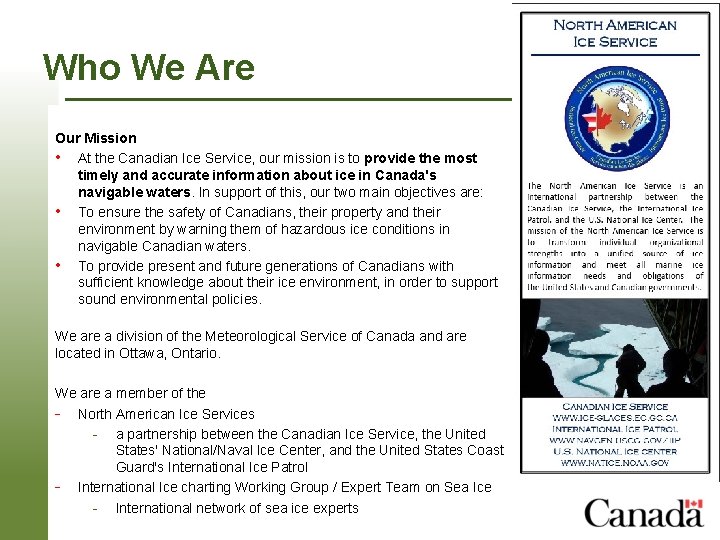
Who We Are Our Mission • At the Canadian Ice Service, our mission is to provide the most timely and accurate information about ice in Canada's navigable waters. In support of this, our two main objectives are: • To ensure the safety of Canadians, their property and their environment by warning them of hazardous ice conditions in navigable Canadian waters. • To provide present and future generations of Canadians with sufficient knowledge about their ice environment, in order to support sound environmental policies. We are a division of the Meteorological Service of Canada and are located in Ottawa, Ontario. We are a member of the - North American Ice Services - a partnership between the Canadian Ice Service, the United States' National/Naval Ice Center, and the United States Coast Guard's International Ice Patrol - International Ice charting Working Group / Expert Team Page 3 – 1, 2021 on Sea Ice - International network of sea ice experts
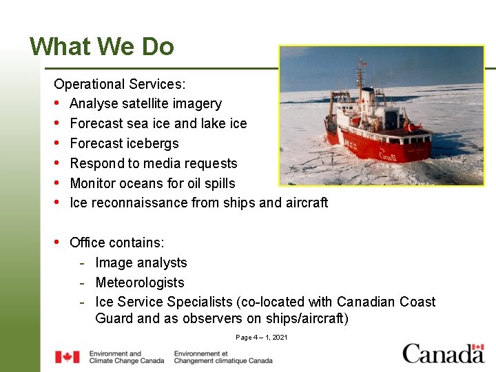
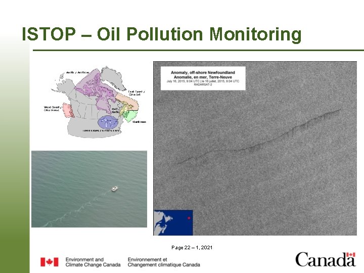
What We Do Operational Services: • Analyse satellite imagery • Forecast sea ice and lake ice • Forecast icebergs • Respond to media requests • Monitor oceans for oil spills • Ice reconnaissance from ships and aircraft • Office contains: - Image analysts - Meteorologists - Ice Service Specialists (co-located with Canadian Coast Guard and as observers on ships/aircraft) Page 4 – 1, 2021
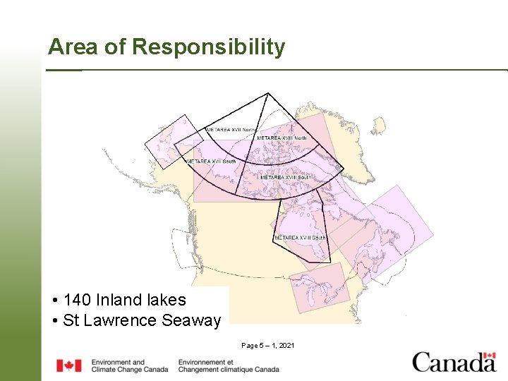
Area of Responsibility • 140 Inland lakes • St Lawrence Seaway Page 5 – 1, 2021
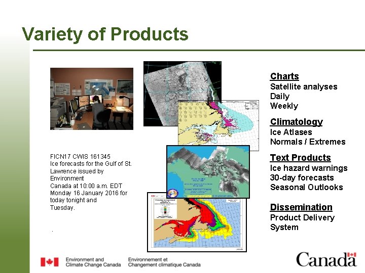
Variety of Products Charts Satellite analyses Daily Weekly Climatology Ice Atlases Normals / Extremes Text Products FICN 17 CWIS 161345 Ice forecasts for the Gulf of St. Lawrence issued by Environment Canada at 10: 00 a. m. EDT Monday 16 January 2016 for today tonight and Tuesday. Ice hazard warnings 30 -day forecasts Seasonal Outlooks Dissemination Product Delivery System . Page 6 – 1, 2021
Ice Charting Page 7 – 1, 2021
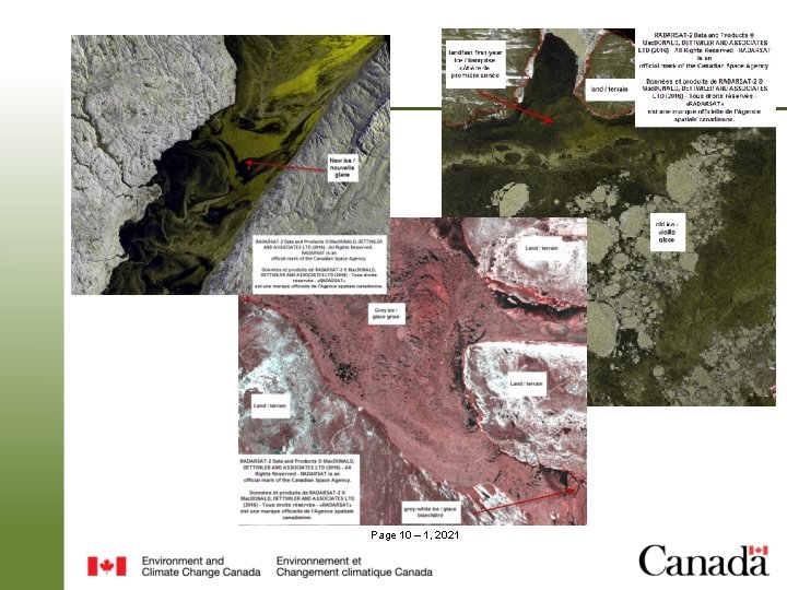
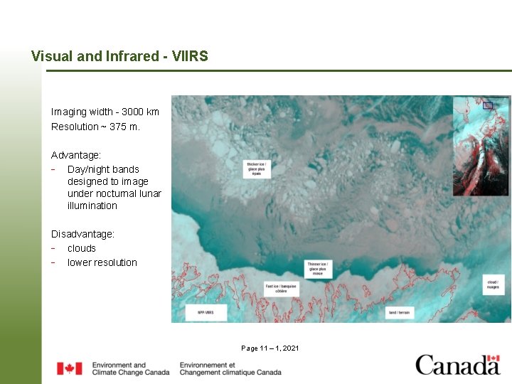
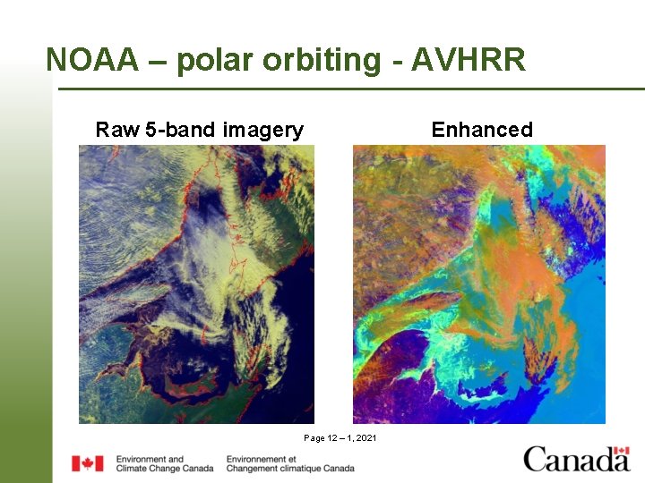
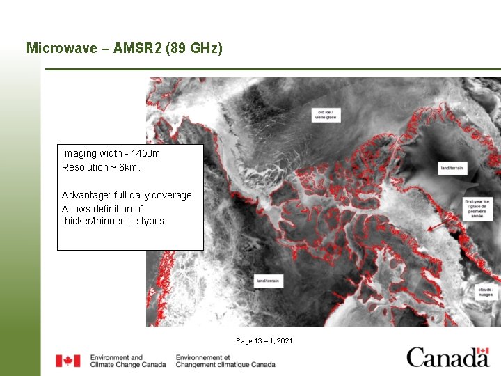
Sources of Data Satellite: • SAR – Radarsat-2, Sentinel-1 A • Visual – NPP-VIIRS, MODIS, NOAA-geostationary, NOAA-polar orbiting. • Microwave – AMSR 2 • Flights • Ship observations Page 8 – 1, 2021
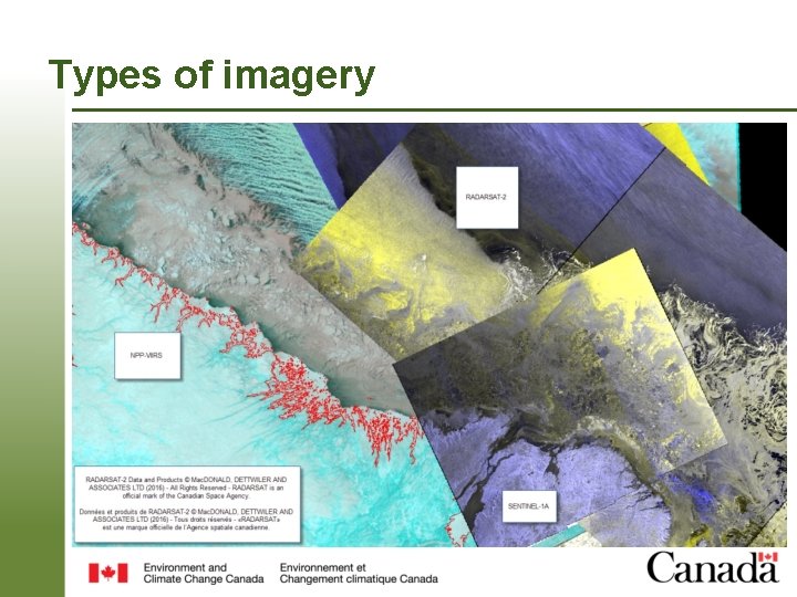
Types of imagery Page 9 – 1, 2021
Page 10 – 1, 2021
Visual and Infrared - VIIRS Imaging width - 3000 km Resolution ~ 375 m. Advantage: - Day/night bands designed to image under nocturnal lunar illumination Disadvantage: - clouds - lower resolution Page 11 – 1, 2021
NOAA – polar orbiting - AVHRR Raw 5 -band imagery Page 12 – 1, 2021 Enhanced
Microwave – AMSR 2 (89 GHz) Imaging width - 1450 m Resolution ~ 6 km. Advantage: full daily coverage Allows definition of thicker/thinner ice types Page 13 – 1, 2021
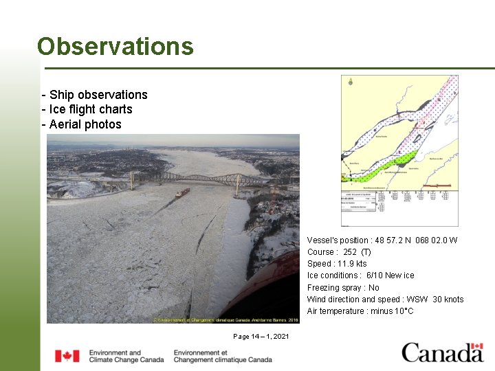
Observations - Ship observations - Ice flight charts - Aerial photos Vessel's position : 48 57. 2 N 068 02. 0 W Course : 252 (T) Speed : 11. 9 kts Ice conditions : 6/10 New ice Freezing spray : No Wind direction and speed : WSW 30 knots Air temperature : minus 10°C Page 14 – 1, 2021
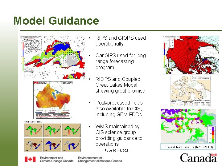
Model Guidance • RIPS and GIOPS used operationally • Can. SIPS used for long range forecasting program • RIOPS and Coupled Great Lakes Model showing great promise • Post-processed fields also available to CIS, including GEM FDDs • WMS maintained by CIS science group providing guidance to operations Page 15 – 1, 2021 Forecast Ice Pressure (N/m x 1000)
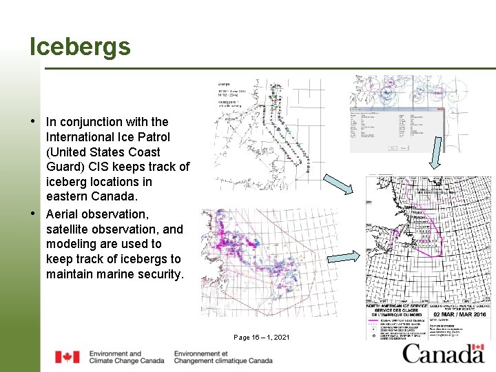
Icebergs • In conjunction with the • International Ice Patrol (United States Coast Guard) CIS keeps track of iceberg locations in eastern Canada. Aerial observation, satellite observation, and modeling are used to keep track of icebergs to maintain marine security. Page 16 – 1, 2021
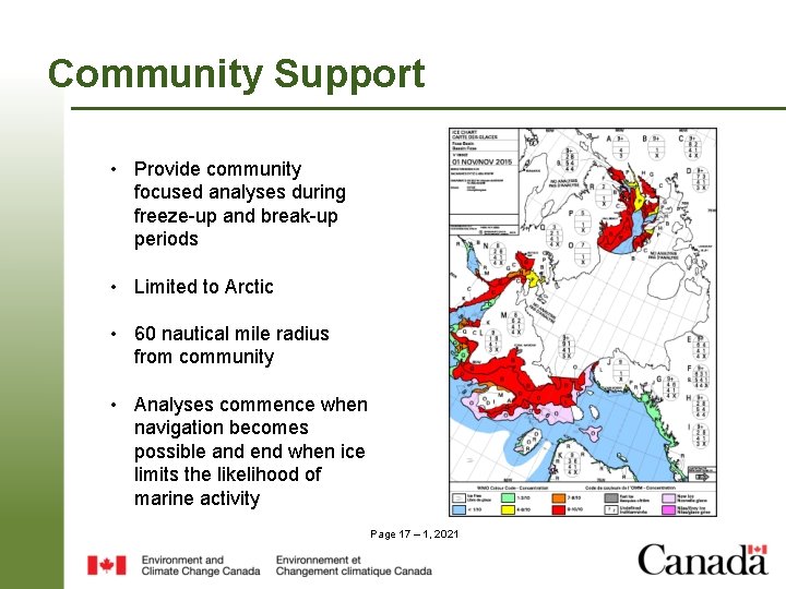
Community Support • Provide community focused analyses during freeze-up and break-up periods • Limited to Arctic • 60 nautical mile radius from community • Analyses commence when navigation becomes possible and end when ice limits the likelihood of marine activity Page 17 – 1, 2021
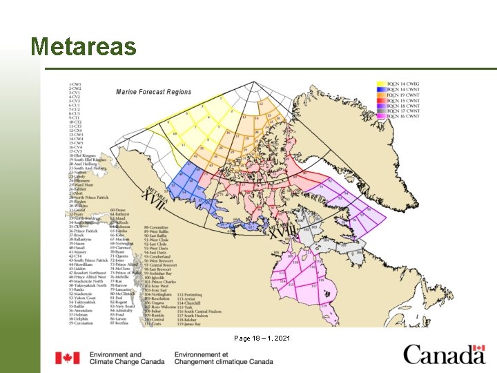
Metareas Page 18 – 1, 2021
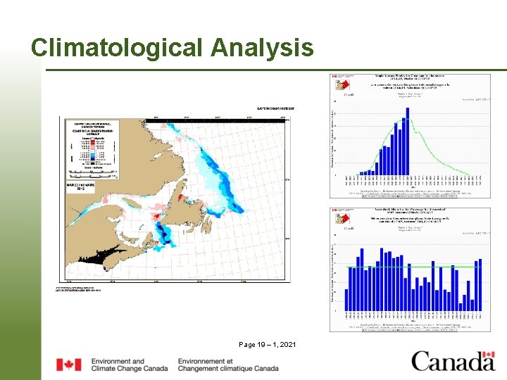
Climatological Analysis Page 19 – 1, 2021
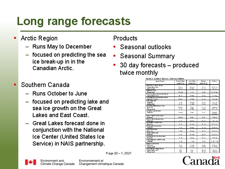
Long range forecasts • Arctic Region Products • Seasonal outlooks • Seasonal Summary • 30 day forecasts – produced twice monthly – Runs May to December – focused on predicting the sea ice break-up in in the Canadian Arctic. • Southern Canada – Runs October to June – focused on predicting lake and sea ice growth on the Great Lakes and East Coast. – Great Lakes forecast done in conjunction with the National Ice Center (United States Ice Service) in NAIS partnership. Page 20 – 1, 2021
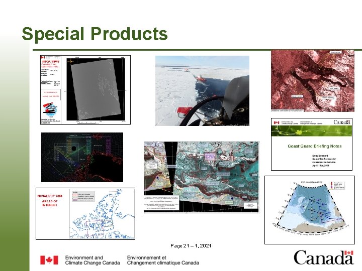
Special Products Page 21 – 1, 2021
ISTOP – Oil Pollution Monitoring Page 22 – 1, 2021
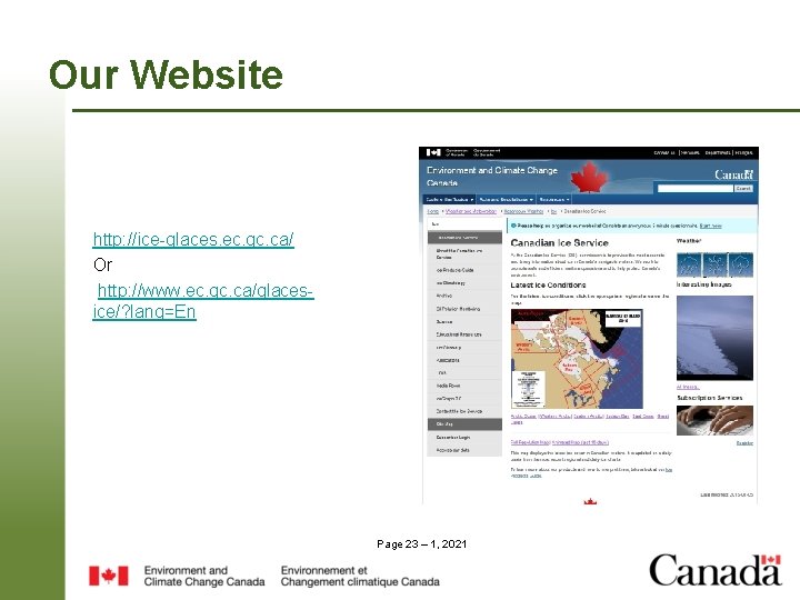
Our Website http: //ice-glaces. ec. gc. ca/ Or http: //www. ec. gc. ca/glacesice/? lang=En Page 23 – 1, 2021