Testing the SIMWE SIMulated Water Erosion model on
 model on a Martian valley system Vilmos Steinmann")
![The Martian fluvial systems show many similarities with the terrestrials’ [1]. Especially with the](https://slidetodoc.com/presentation_image_h2/5add782298d8b82c5bcd65d6f21251c3/image-2.jpg "The Martian fluvial systems show many similarities with the terrestrials’ [1]. Especially with the")

![The used model, called SIMWE [1] (SIMulated Water Erosion), it calculates the possible erosion](https://slidetodoc.com/presentation_image_h2/5add782298d8b82c5bcd65d6f21251c3/image-4.jpg "The used model, called SIMWE [1] (SIMulated Water Erosion), it calculates the possible erosion")


![References [1]: Hauber, E. , K. Gwinner, M. Kleinhans, D. Reiss, G. Di Achille,](https://slidetodoc.com/presentation_image_h2/5add782298d8b82c5bcd65d6f21251c3/image-10.jpg "References [1]: Hauber, E. , K. Gwinner, M. Kleinhans, D. Reiss, G. Di Achille,")

- Slides: 11
Testing the SIMWE (SIMulated Water Erosion) model on a Martian valley system Vilmos Steinmann 1, 2 László Mari 2 Ákos Kereszturi 1 1 Konkoly Thege Miklós Astronomical Institute, Research Centre for Astronomy and Earth Science, Budapest, Hungary 2 Eötvös Lorand University, Department of Physical Geography, Budapest, Hungary
The Martian fluvial systems show many similarities with the terrestrials’ [1]. Especially with the semi-arid and dry valleys (wadis). The old fluvial systems are well preserved on the surfaces of Mars. The exact method of the erosion on Mars is poorly understood, despite various model are used for the Earth successfully. The analyzed area is ~81 km long and ~1. 85 km wide fluvial valley on Mars, next to the Equator (2° 55’ S; 111° 53’ E) and next to Tinto Vallis. The average depth is ~250 m. The highest point is +689 m, the deepest is -730 m. The flow direction of the valley is from south to north. The measured area include several smaller valleys, which are located west from Tinto -B. Used images during the research: • HRSC image resolution 50 m/px: h 0951_0000_dt 4 • CTX images resolution 5. 2 m/px: P 11_005511_1761_XN_03 S 248 W; P 22_009796_1771_XN_02 S 248 W • TES* resolution re-interpolated to 50 m/px: Sheetsilicate, quartz maps *TES images were updated in the 2 nd phase to THEMIS thermal-inertia values in the case of the better resolution. Figure 1: Overview of the analysed area. The arrow of the bottom of inset c show the starting, the upper arrow show the ending of the main valley
Crater based estimation was used to interpret ages for the main five different unit type on the analysed area. (Figure 2 / Table 1) 1. - estimated age of the valley bottom only with the bedrock formation at the end of the main valley Late Hesperian/early Amazonian with moderate dry environment, local large outflows 2. - the neighbourhood area what is probably as old as the tributaries Original Noachian surface 3. - sediment covered crater bottom at the south Wet period during the Hesperian / Amazonian boundary 4. - sediment of the crater bottom on the north Wet period during the Amazonian boundary 5. - sand covered valley bottom age of the sand covered dunes on the valley bottom. Area ID Crater number Age (Ga) 1 66 2. 5 +0. 8; -1 2 288 3. 4 +0. 1; -0. 7 3 150 3 +0. 4; -1 4 196 2. 5+0. 6; -0. 7 5 5 0. 71+706; -70 Table 1: Data of crater statistic Figure 2: Overview of the measured areas for the crater statistical based age analyis
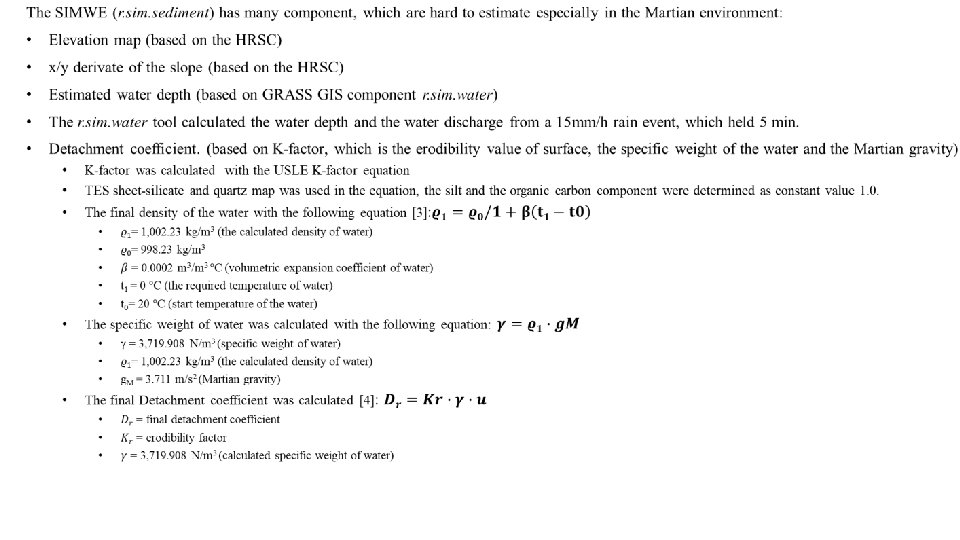
The used model, called SIMWE [1] (SIMulated Water Erosion), it calculates the possible erosion and accumulation zones and in this case shows the possible small stream and gullies. The model in this study was used with a small amount of rain (15 mm/hr) and the rain event held 3 minutes. From the former experience, this time scale and rain amount were the smallest to give an interpretable value. The result map called time-limited erosion and deposition map, where the positive values (reddish color on Figure 2) show the erosion rate in kg/m 2 s and the negative values (blueish color on Figure 2) show the deposition. The maximal values of estimated erosion is 0. 018 kg/m 2 s. The same value of the deposition is -0. 016 kg/m 2 s. Figure 3: Result map of the SIMWE model
The DTM of the analysed area shows the main valley with other candidate tributary valleys and the biggest mass movements forms, which are visible on the cross-profiles of the DTM. These erosion forms can be identified better on the optical CTX images. The used SIMWE model interpreted the bigger and smaller erosion forms and in this case give a hypothetic value for the possible erosion and accumulation. Figure 4: Identified erosion forms on the wall of the main valley
The SIMWE model identified many small gullies and streams all of the analysed area. During the analysation two main types of the small erosion forms became separable: • Gullies, where the erosion occures during the given rain event on the bottom of the small streams (type 1) • The accumulation is stronger, than the erosion at the bottom on these small drainages, but the wall of streams are more eroded (type 2) These differences between the two identified type of gullies presume a different occurrence and origin in time. Type 1 shows a young surface, where the fresh sand can be eroded fast with a small amount of water or some fluid event. Type 2 shows an older type of the gullies, which are more cutted into the original terrain, in this case the erosion works on the walls of these gullies instead of the bottom. Figure 5: Example of the two different identified stream type on a SIMWE map
Further changes/plans on the model: • Using THEMIS data instead of TES (erosion K-factor based on Thermal Inertia values) • Calculating the shear stress and the sediment transport coefficient • Using a linear water source instead of rain event • Comparing the final values with the terrestrial arid-, semi-arid valleys’ value
Contact: • Vilmos, Steinmann (Ph. D student; Eötvös Loránd University, Department of Physical Geography/Konkoly Thege Miklós Astronomical Institute, Research Centre for Astronomy and Earth Sciences): steinmann. vilmos[at]csfk. mta. hu • László, Mari (associate malkact[at]caesar. elte. hu professor; Eötvös Loránd University, Department of Physical Geography): • Ákos, Kereszturi (senior research fellow; Konkoly Thege Miklós Astronomical Institute, Research Centre for Astronomy and Earth Sciences): kereszturi. akos[at]csfk. mta. hu
References [1]: Hauber, E. , K. Gwinner, M. Kleinhans, D. Reiss, G. Di Achille, G. -G. Ori, F. Scholten, L. Marinangeli, R. Jaumann, and G. Neukum. "Sedimentary Deposits in Xanthe Terra: Implications for the Ancient Climate on Mars. " Planetary and Space Science 57. 89 (2009): 944 -57. [2]: Mitasova, H. , Thaxton, C. , Hofierka, J. , Mclaughlin, R. , Moore, A. , & Mitas, L. (2004). Path sampling method for modeling overland water flow, sediment transport, and short term terrain evolution in Open Source GIS. Computational Methods in Water Resources: Volume 2, Proceedings of the XVth International Conference on Computational Methods in Water Resources Developments in Water Science, 1479 -1490. doi: 10. 1016/s 0167 -5648(04)80159 -x [3]: https: //www. engineeringtoolbox. com/fluid-density-temperature-pressure-d_309. html [4]: Larionov, G. A. , Dobrovolskaya, N. G. , Kiryukhina Z. P. , Krasnov, S. F. , Litvon, L. F. , (2004) Hydrphysical model of soil erosion: a basic equation and influence of bed load and suspended sediment on soil detachment by shallow water flow. IAHS Publ. 288. 2004 2020. 05. 06.
Acknowledgment: The crater statistical analysis was supported by GINOP-2. 3. 2 -15 -20016 -00003