TELEMATIC TEACHING PROJECT Map reading Exam Techniques glennkns


 20 DATA RESPONSE 56 ESSAY-TYPE")


- Slides: 23
TELEMATIC TEACHING PROJECT Map reading & Exam Techniques glenn@kns. wcape. school. za
MAP READING
f lie Re ic om s on tie Ec tivi ac le t t e S ts n e m Mental Image of a map Draina ge Infra. Structure
WIND DIRECTION X Katabatic night Smoke blows DOWN slope BE FO R E CO LD FR ON T INDUSTRIES LD R E T AF CO F T N RO
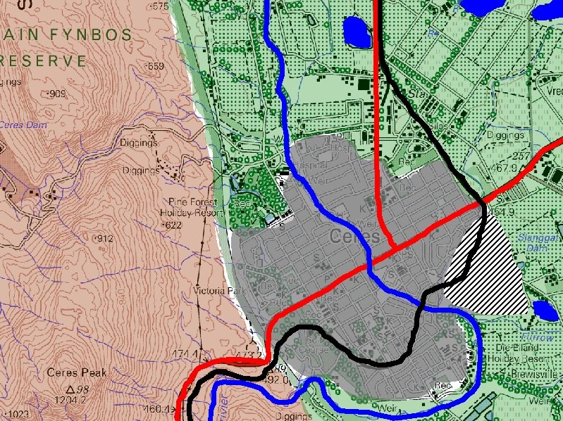
IRRIGATION USE OF DAMS D A D R I N K I N G W A T E R M RECREATION IRRIGATION DRINKING WATER S RECREATION
DIRECTION-RIVER FLOWS Dam - wall down stream Contours bend upstream Flows towards the sea (Mouth) 300 w o l h to 100 Joining of tributaries acute angle ws o l F ig h from
MOUTH LOWER COURSE IN LA K N A R B D N ND E H EA RS M MA P OD FLO AM RE E ST L ED E V D AI BR L SA
INCLINED LAYERS SCARP AND DIP SLOPE CONTOURS FAR DIP SLOPE - GRADUAL CONTOURS CLOSE SCARP SLOPE - STEEP
IES FARM NAMES ND AR LARGE AREA ROADS MB OU FAR COMMERCIAL FARMING ESTATE CANAL DAMS IRRIGATION
MINING ACTIVITIES CONVEYOR BELT DIGGINGS SLIMES DAM ALSO: mine dumps, old mine, subsiding ground, mineshaft
LEVEL W A T E R CONVEYOR BELTS POWER TRAN RAW MATERIAL FACTORS INDUSTRIES • Level • Raw Material • Water • Labour • Power • Transport • Market SPOR T MARKET LABOUR TRANSPO RT
URBAN RURAL FRINGE Shunting yard SMALL HOLDINGS
Name of street given to R 102 Voortrekker
EXAM TIPS • Short questions • Data-response questions • Essay-type questions
TYPES OF QUESTIONS T SHORT QUESTIONS (2 x 10) 20 DATA RESPONSE 56 ESSAY-TYPE (TWO at 2 x 6) 24 TOTAL 100 Y P E S
SHORT QUESTIONS T MULTIPLE CHOICE A Y P E M TRUE OR FALSE R K CHOOSE THE CORRECT WORD S MATCH THE CONCEPTS 60 S
DATA RESPONSE How can it be managed? What is the impact on the environment What does it look like? What is it? Where is it situated? Why is it there?
EXAMINATION QUESTION Tropical cyclones 1. Identify the type of cyclone at A. WHAT IS IT? 2. Describe the location of the cyclone derived from the map? WHERE IS IT SITUATED? 3. Why is the cyclone found at that location? WHY IS IT THERE? 4. Draw a diagram to show the mature stage of this cyclone. WHAT DOES IT LOOK LIKE? 5. Explain how this cyclone causes destruction. WHAT IS THE IMPACT ON THE ENVIRONMENT 6. What can be done to minimize the destruction caused by tropical cyclones? HOW CAN IT BE MANAGED?
EXAMINATION QUESTION: Urban Settlement 1. Identify the land use zone at A. WHAT IS IT ? 2. Is the zone of decay usually found at B or C? Give TWO reasons for answer. WHERE IS IT? 3. Describe the factors that influenced the location of the industries at D. WHY IS IT THERE? 4. Describe the characteristics of buildings and types of functions found in the zone of decay. WHAT DOES IT LOOK LIKE? 5. Identify the types and sources of pollution experienced in the city in the diagram. WHAT IS THE IMPACT ON THE ENVIRONMENT? 6. What can be done to solve the traffic problems of Cape Town? HOW CAN IT BE MANAGED?
ESSAY-TYPE QUESTIONS • • READ the question THOROUGHLY. UNDERLINE key words. Determine HOW MANY PARTS in question. MARK ALLOWCATION: 2 parts: (3 x 2)+(3 x 2)=(12) 3 parts (2 x 2)+(2 x 2)=(12) • What can I USE in diagram/map/article/photo? EXAMPLE With reference to the diagram, write an essay to explain the impact of tropical cyclones, how they can be predicted and what precautions could be taken to minimize their effect. (6 x 2)=(12)
With reference to the diagram, write an essay to explain the impact of tropical cyclones, how they can be predicted and what precautions could be taken to minimize their effect. (6 x 2)=(12)
Thank you for your attention GOOD LUCK WITH THE EXAMINATION! G D SAMAAI glenn@kns. wcape. school. za