Technology Transfer Opportunities for Map and Geographic Information


 n Bayh-Dole Act (1980) n Federal")

")


- Slides: 21
Technology Transfer Opportunities for Map and Geographic Information Julia M. Giller U. S. Geological Survey Technology Transfer Officer
Technology Transfer Mission Create opportunities for bi-directional technology sharing between federal laboratories and private industry, academia and non-profits, by encouraging the leveraging of resources (technologies, personnel, facilities, methods, expertise, and technical information) for the development of new products and information.
Technology Transfer Program Goals n Increase economic growth for the Nation n Leverage Federal R & D budget dollars n n Expand commercial applications for government technology Maintain cutting edge technology and know how in the federal laboratories
Major Legislation n Stevenson-Wydler Technology Innovation Act (1980) n Bayh-Dole Act (1980) n Federal Technology Transfer Act (1986) n n National Competitiveness Technology Transfer Act (1989, 1995, and 2000) Small Business Research & Development Enhancement Act (1992(
Legislative Components n n Work can be performed with non-federal, public, private non-profit entities Government laboratory can provide services, equipment, with or without remuneration to collaborator however no direct funds can be transferred to a partner – Government can receive funds in- services, equipment, know how from the collaborator Legislation provides collaborator with a protected research and development exemption from Freedom of Information
Components continued n n … Federal laboratory can assign back ground intellectual property (IP) as well as IP developed in the joint research to the collaborator Federal researchers can receive a share of any patent (copyright) royalties generated, as well as provide funds to the laboratory that funded the original research Revenues received from collaborator can be returned to federal lab as reimbursements of cost or royalty income Royalty income received from licensed technology/patents can be retained for the year of receipt and two additional years.
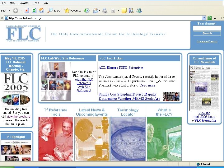
Federal Laboratory Consortium n n Volunteer Organization – Chartered by Congress in 1986 - www. federallabs. org 700 member research laboratories, from 17 federal departments and agencies. Utilizes Six Region Structure Co-operates with 6 NASA Regional Technology Transfer Centers established in 199 l – managed by a university or non-profit in cooperation with FLC
FLC contributions … n n The FLC develops and tests transfer methods, addresses barriers to the process, provides training, highlights grass-roots transfer efforts, and emphasizes national initiatives where technology transfer has a role. For the public and private sector, the FLC brings laboratories together with potential users of government-developed technologies. This is in part accomplished by the FLC Laboratory Locator Network and regional and national meetings.
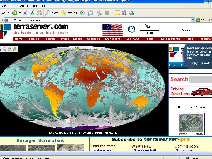
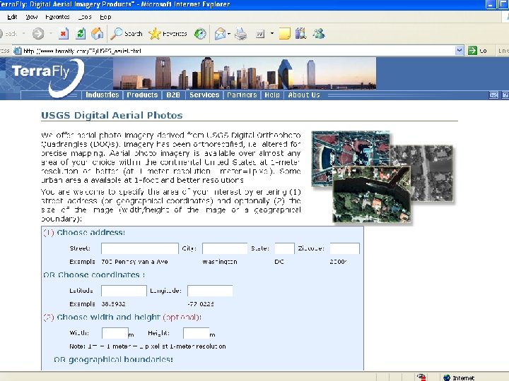
USGS Cartographic Tech Transfer Projects n n www. Terraserver. com – Microsoft www. terrafly. com – Florida International University, NASA RAC Self-serve Map Kiosks – Wildflower/National Geographic Development of “in situ” test site for aerial cameras
USGS Cartographic Tech Transfer Projects n n n www. Terraserver. com – Microsoft www. terrafly. com – Florida International University, NASA RAC Self-serve Map Kiosks – Wildflower/National Geographic Development of “in situ” test site for aerial cameras New tools for product access
USGS Cartographic Tech Transfer Projects n n n www. Terraserver. com – Microsoft www. terrafly. com – Florida International University, NASA RAC Self-serve Map Kiosks – Wildflower/National Geographic Development of “in situ” test site for digital cameras New tools for product access
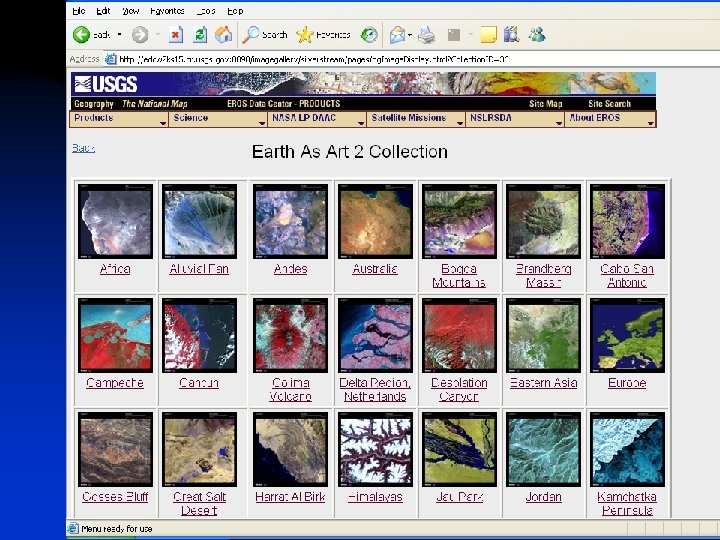
USGS Collaborative Information Products n DVD - Glaciers Alaska’s Rivers of Ice n Earth as Art n CD-Data sets u Aggregates Industry Atlas – National Stone and Gravel Association u Global Geographic Information - American Geological Institute
USGS Collaborative Information Products n DVD - Glaciers Alaska’s Rivers of Ice n Earth as Art n CD-Data sets u Aggregates Industry Atlas – National Stone and Gravel Association u Global Geographic Information - American Geological Institute
USGS Collaborative Information Products n DVD - Glaciers Alaska’s Rivers of Ice n Earth as Art n CD-Data sets u Aggregates Industry Atlas – National Stone and Gravel Association u Global Geographic Information - American Geological Institute
Other Federal Laboratory Technology with Cartographic Applications n n n High-powered Compression Technology NASA technology for scaling and measuring digital photographic images Neural Network Technology for river mapping-environmental modeling
Technology at other Federal Laboratories n NASA Goddard Technology (Recursive Hierachial Segmentation – RH Seg) n Los Alamos National Laboratory – Enhanced Server Adapter